| Back to Recently |
| Independence area April 1-4,2017 |
 |
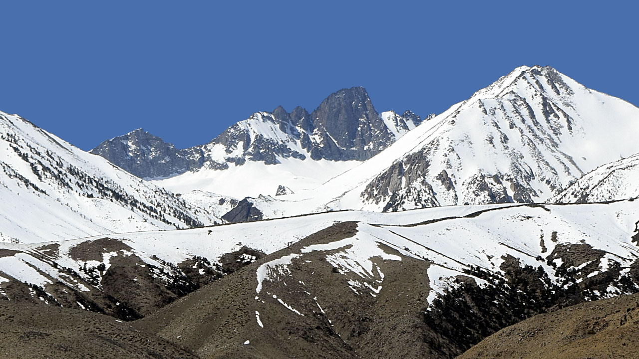
| The split on Split Mountain
(South Palisade 14,058') is filled this year and
would make a good climb (middle of the the ridge) from Mazourka
Rd camp |
| The dog didn't get to go on
the last trip to Phoenix so I took her up north on US395 a hundred miles
for a few days. Managed to find her some snow to play in. Mazourka Rd
was open to Badger Flats but snowed in there. Barely, only a short
distance of road when you first enter the meadows at around 8700' was
covered. A vehicle with over sized tires probably would have gotten
through. Another week or so and it should be clear. Onion Valley Rd in
the Sierra wasn't plowed above 8000'. Onion Valley is 9000'. They had
cut through several big banks to open it that far even though the
sign says ROAD CLOSED back down at Upper Grey's Meadows Campground at
6000' . They don't gate it closed, just a liability thing. I ran into
half a dozen cars above the sign. |
| Mazourka Rd |
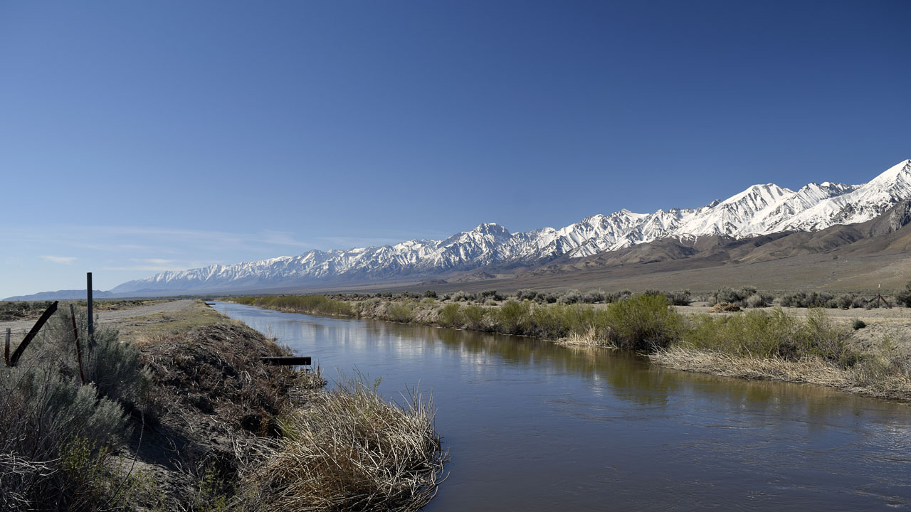 |
| The LA aqueduct was full. The Colorado River
aqueduct had been very low. LA had dumped water into the Indian Wells
Valley aquifer and had even filled some of the troublesome spots in
southern Owen's Lakebed. The Owen's River had just enough water in it to
keep me from getting to Crystal Ridge from an old route that was used
before LA was forced to put some water back in the river. They recover
it before it reaches mostly dry Owen's Lake. |
 |
 |
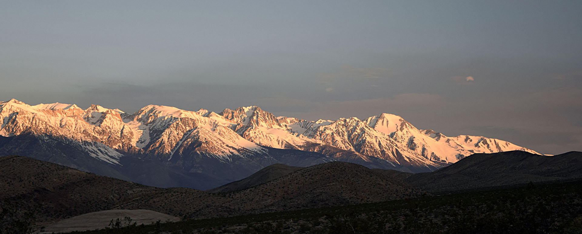
| Sunrise on Mount Whitney
(14,494') from Mazourka Rd camp
(telephoto) |
Sunrise on Mt
Williamson (14,375') and Tyndall
(14,018') from camp |
 |
 |
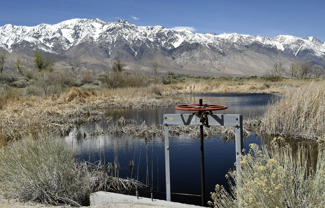
| The drain plug on Lake Lenzenhuber (I saw
on a Owens Valley Facebook group where it was called Billy Pond. The
water doesn't even exist on my old topographical maps) |
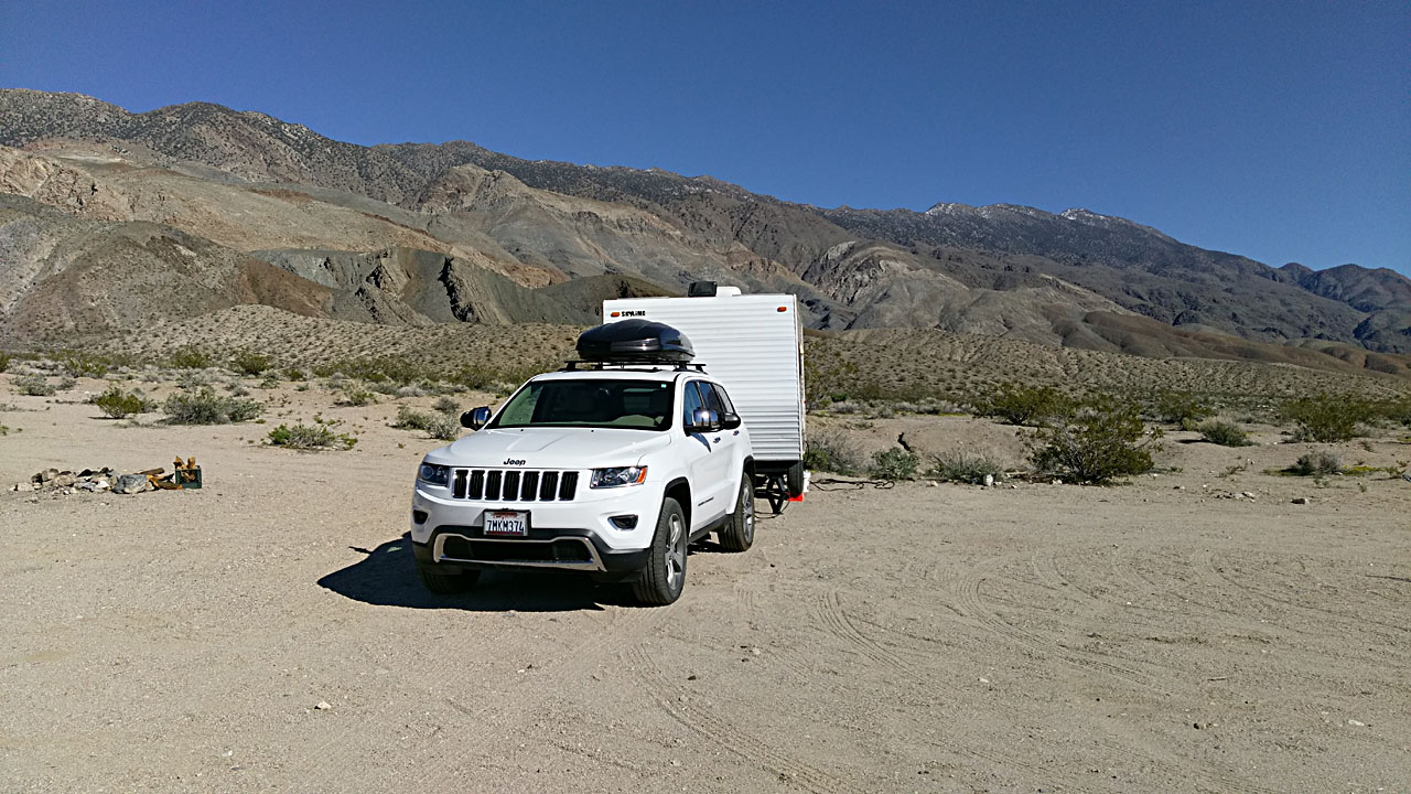
Camping in the wide open with no neighbors for miles |
 |
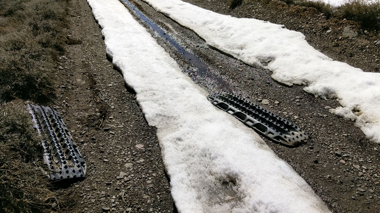 |
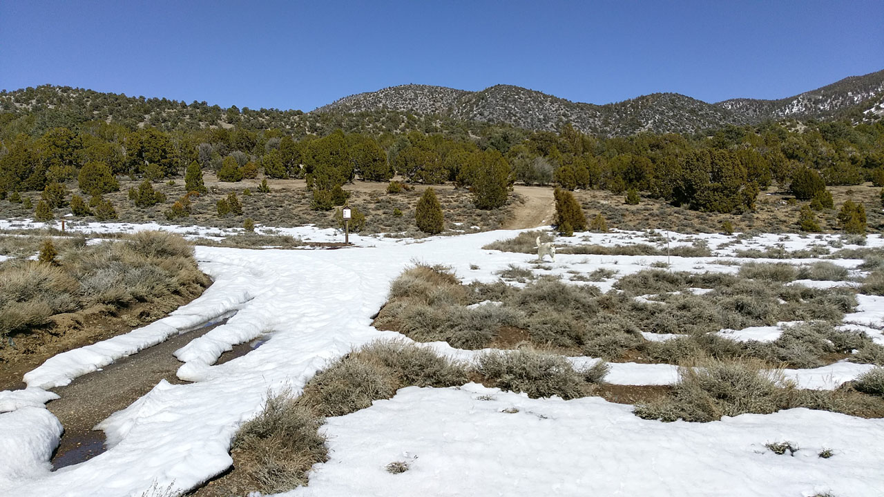
| Badger Flat with a little bit of snow left |
Someone left some traction devices, I left them there in
case they came back for them |
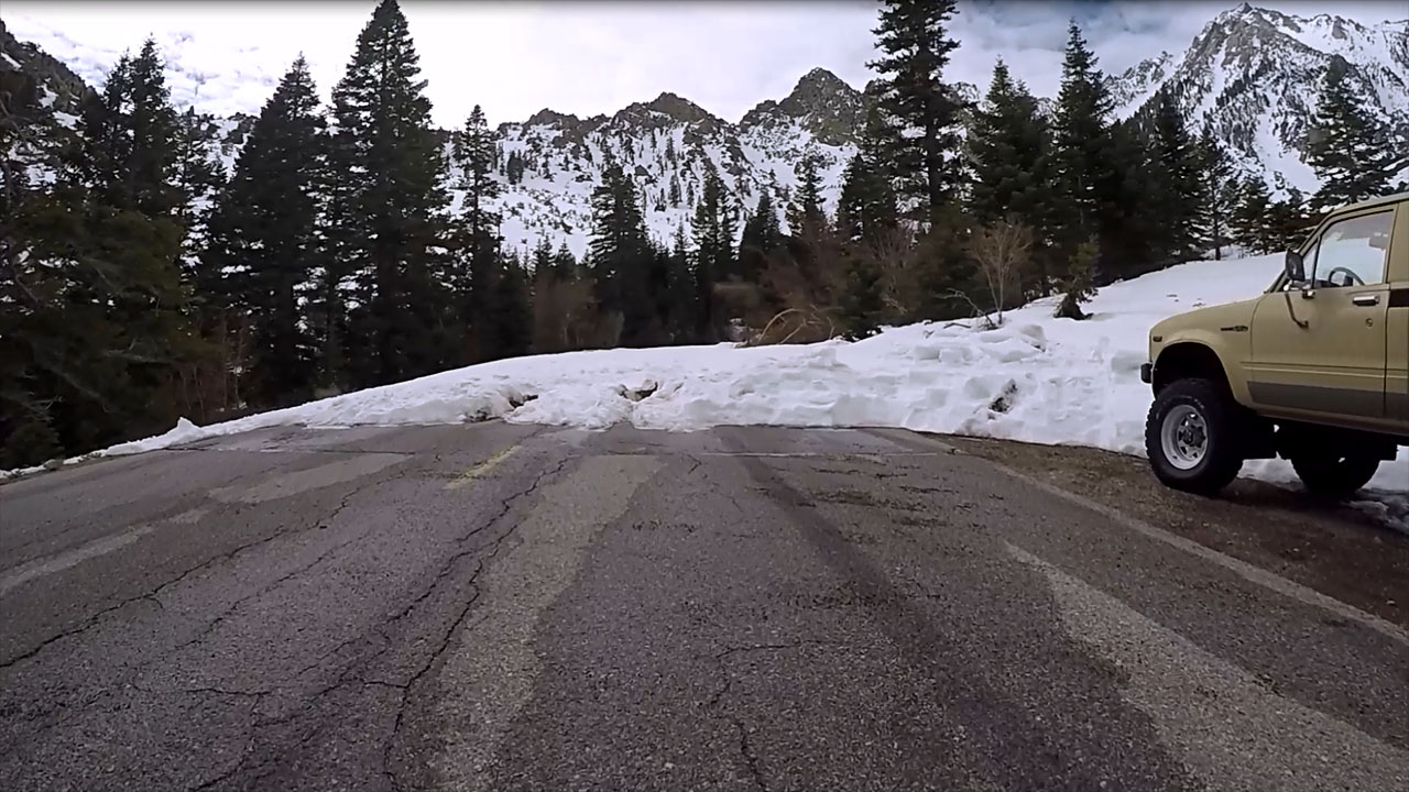 |
| Onion Valley Road closed at
~8000' (Click
here or on the above image for a movie of driving part of Onion Valley
Road) |
| Bishop |
 |
 |
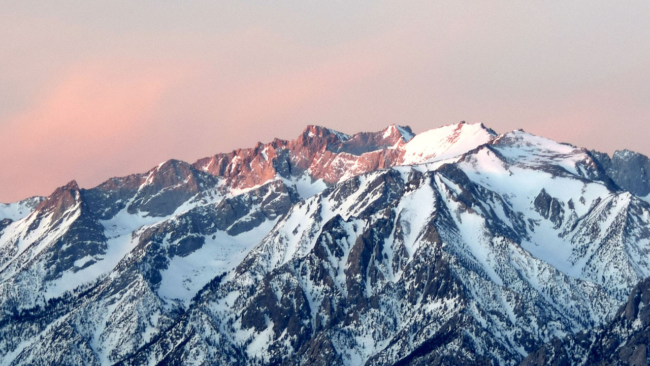
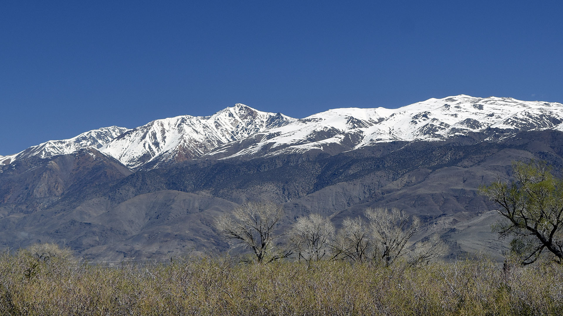
| White Mountain
(14,246') from Bishop |
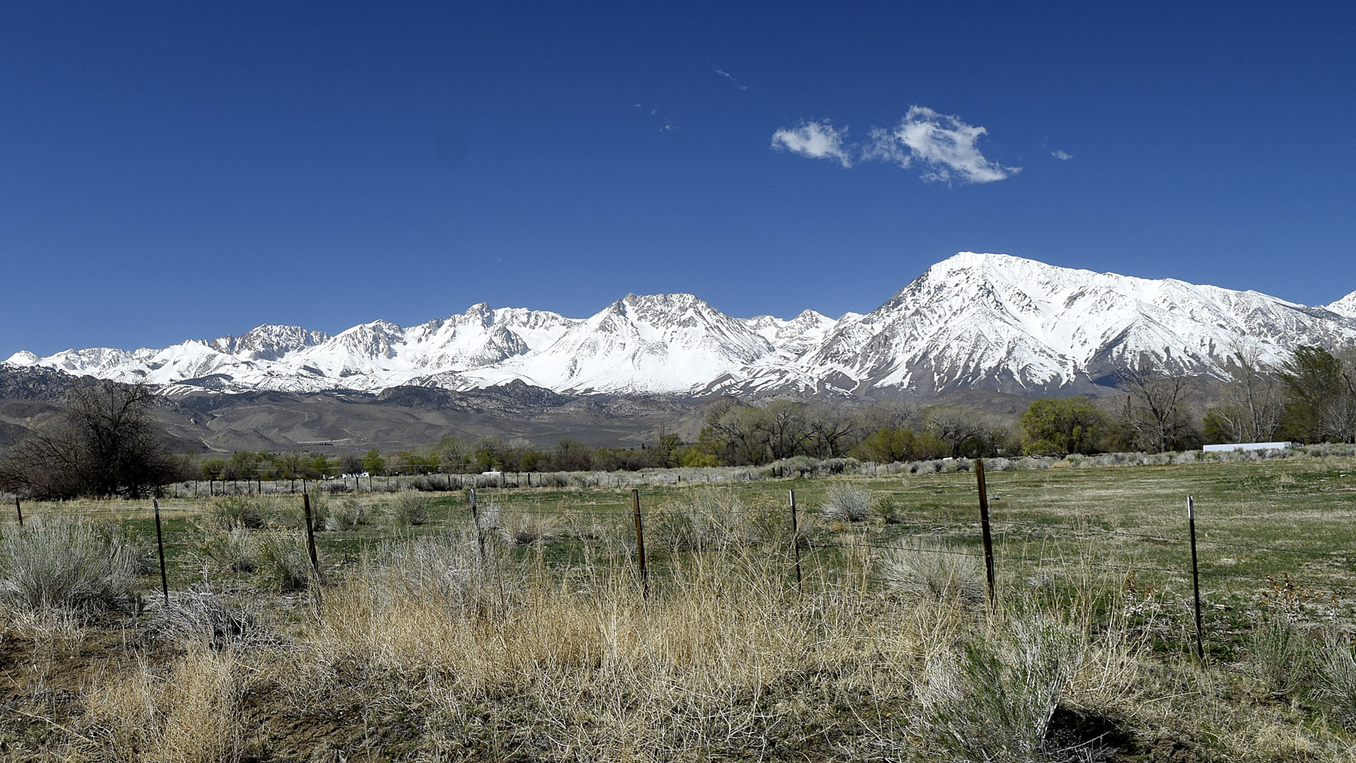
Mount Humphries and Mount Toms from near the
Bishop Vets |
| I had to go to Bishop to get a new tire for
the trailer. A tire threw its tread near Olancha on the way up. The
tread also took out my water main so I lived out of a 6 gallon jug I had
in the Jeep. |
 |
 |
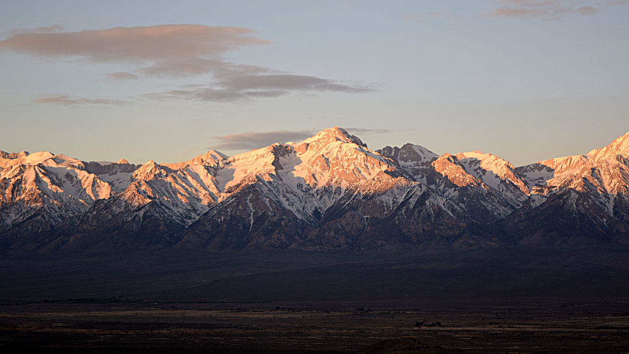
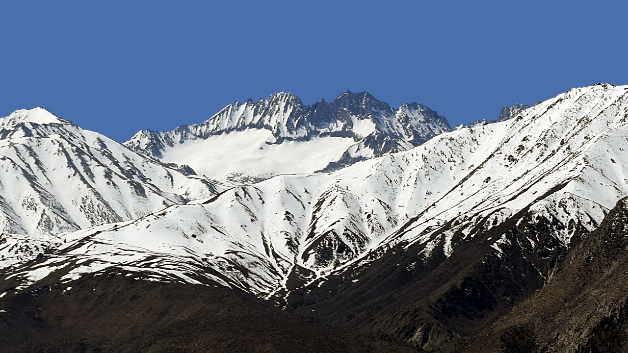
| Middle Palisade and Norman Clyde (Mt Constitution) |
Mt Sill |
| Going up US395 to Bishop I got to see some more of the
14,000 footers I've climbed |
| Back to Recently |