| Back to map
to Map
Back to Palisades
Back to Mountaineer |
| Split Mountain |
| (South Palisade) 14,058' (4284m)
8th
tallest in California 2005 |
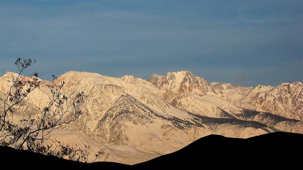 |
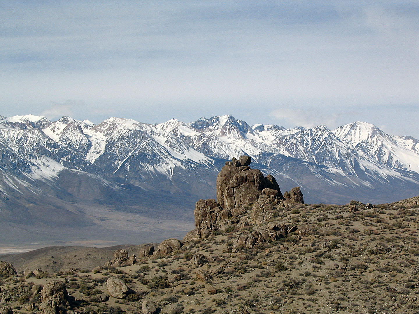
| Split Mountain from the lower part of Mazourka
Rd, in the Inyos east of Independence |
| I went to Split Mountain area twice
in August of 2005. The first time Mike and I turned back at about 12,700'
because of thunderstorms. The second time I went alone and reached the
summit. (It took about 2 hours from where we had turned back the first
time) I brought a small folding saw and tree shears and did some trail
work the second time. It had been hard to get through the under
brush with a pack on and the trail was in really bad shape in spots. I
worked on three areas that were particularly bad but there is still a lot
of trail work that should be done |
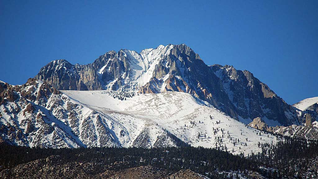
| Split Mountain
(also known as South Palisade) is so named because of the
spilt
which, when it fills with snow in the winter becomes even more obvious. |
 |
 |
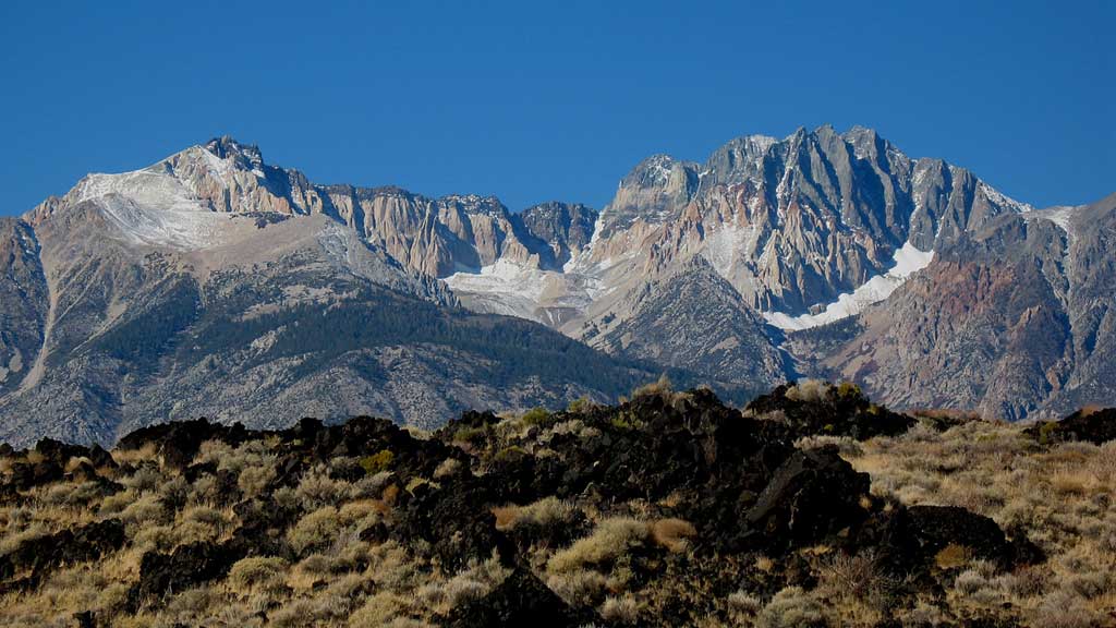
| Basalt flow along US395 with Cardinal Peak (left)
and Split Mountain (right)
|
A good view of the snow filled split |
 |
 |
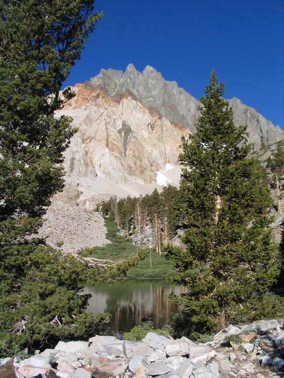
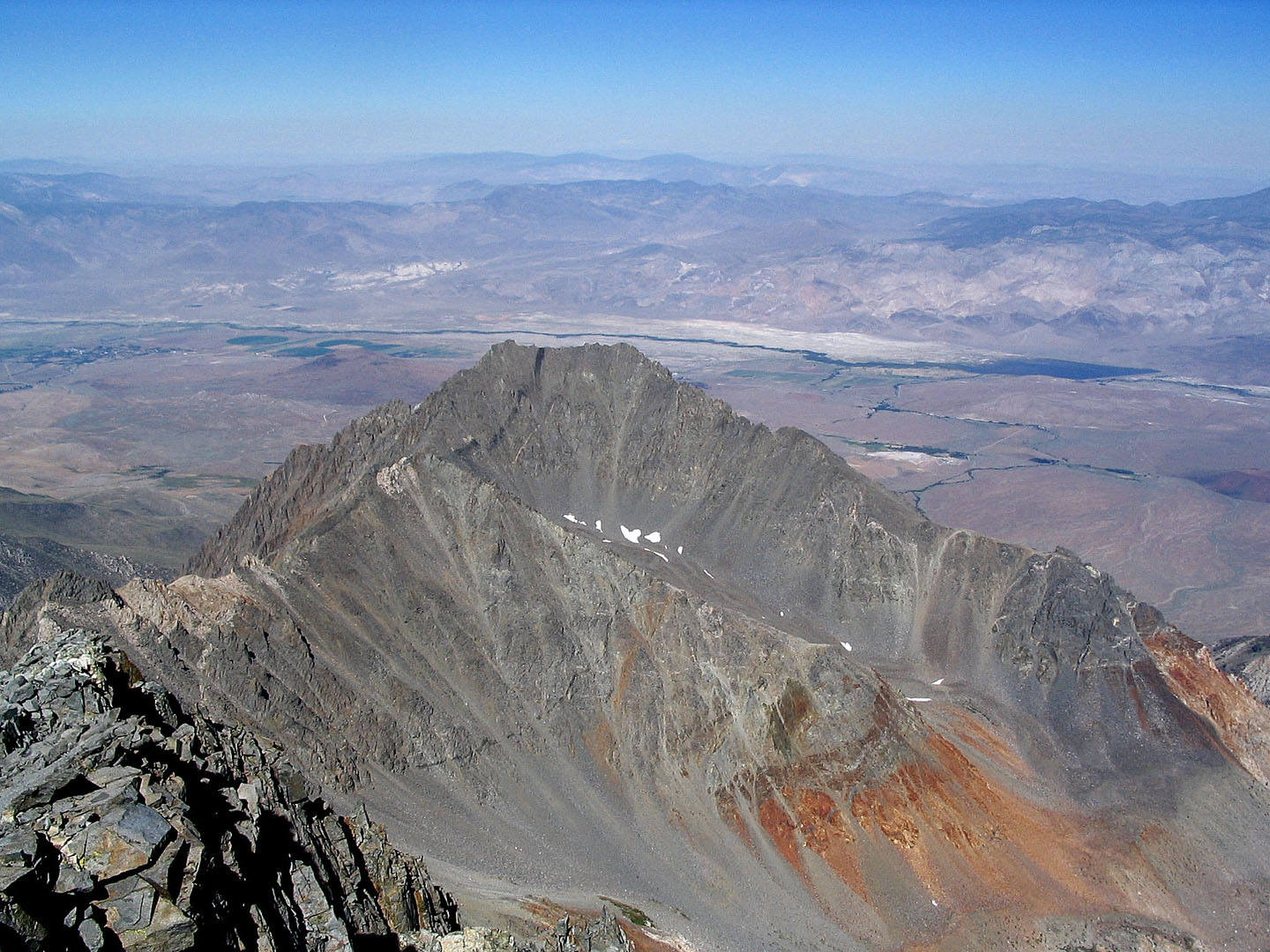
| Split Mountain summit over un named Lake below Red Lake |
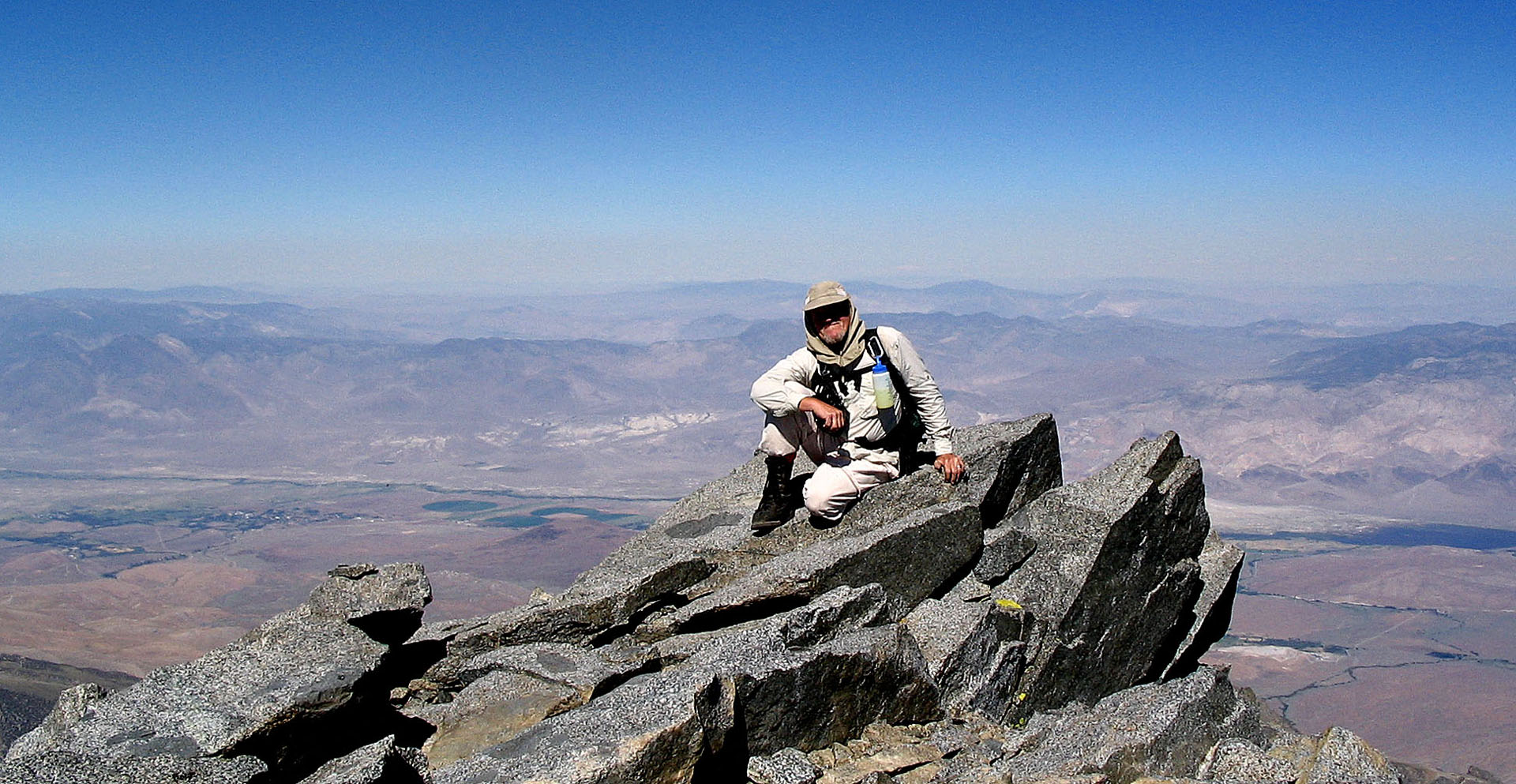
Me on summit of Split Mountain |
 |
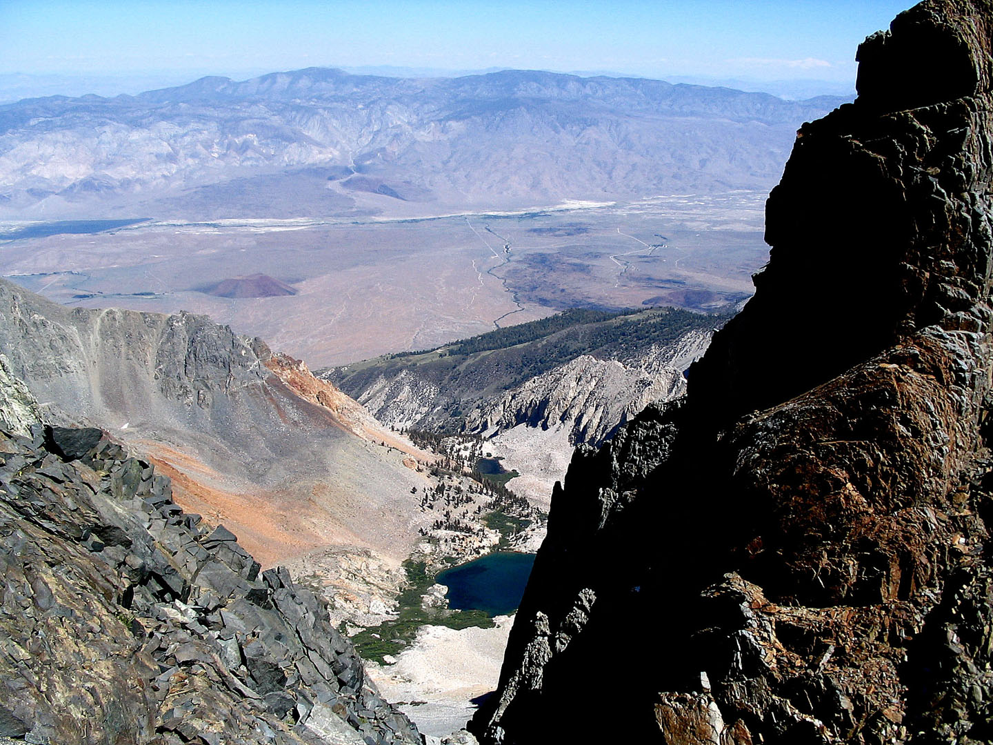 |
| Tinnemaha Peak from Split Peak |
Red Lake, Un Named Lake and distant
Tinnemaha Resevoir |
 |
 |
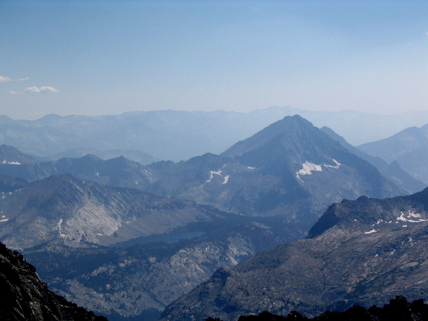
| Bench Lake and towards the west from
the summit |
Split Mountain from the Inyos |
| Back to map
to Map
Back to Palisades
Back to Mountaineer |


