| Back
to Recently |
| Deadman and Coyote
May 26-31,
2020
All images are HD (1920x1080) |
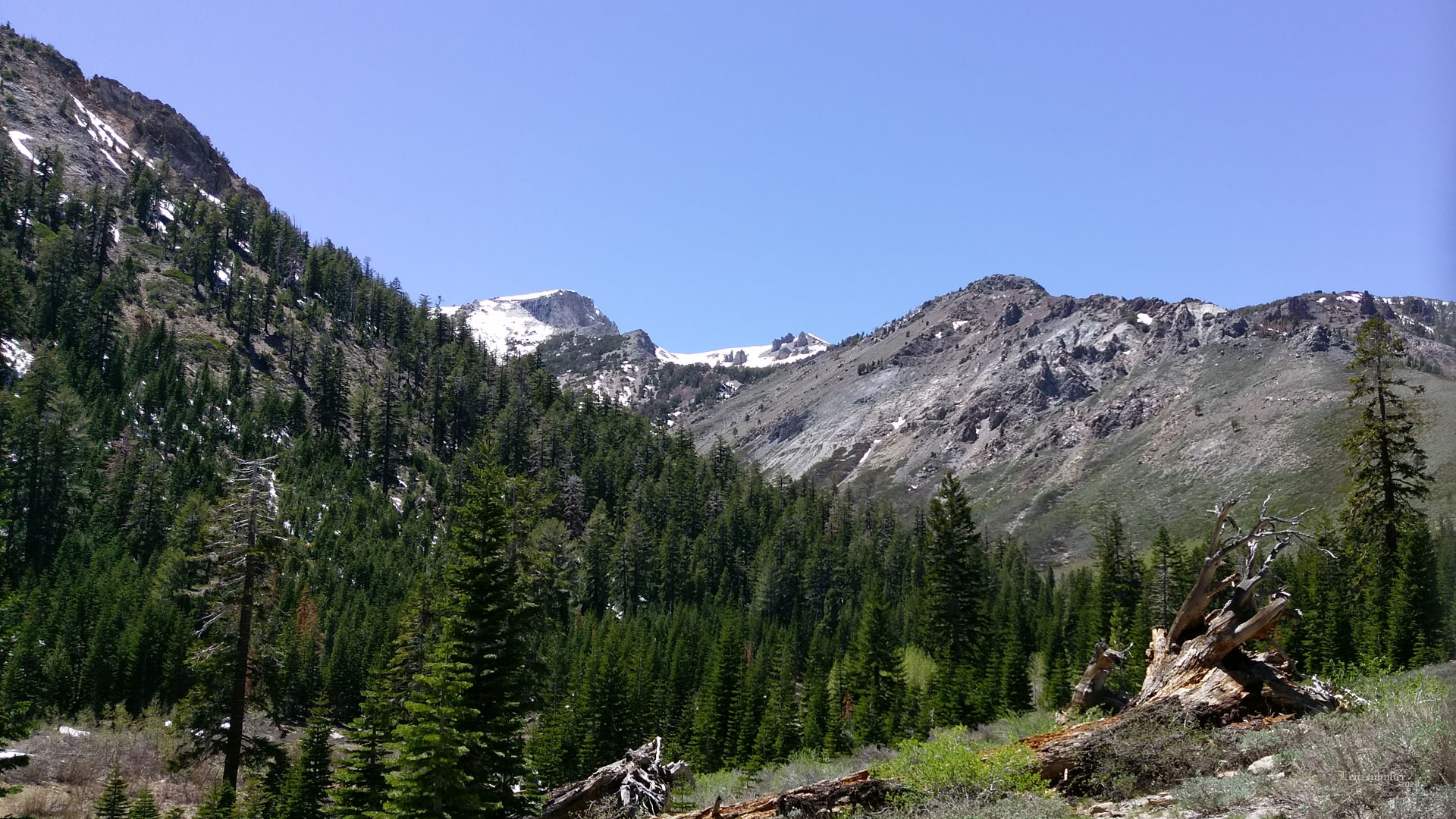
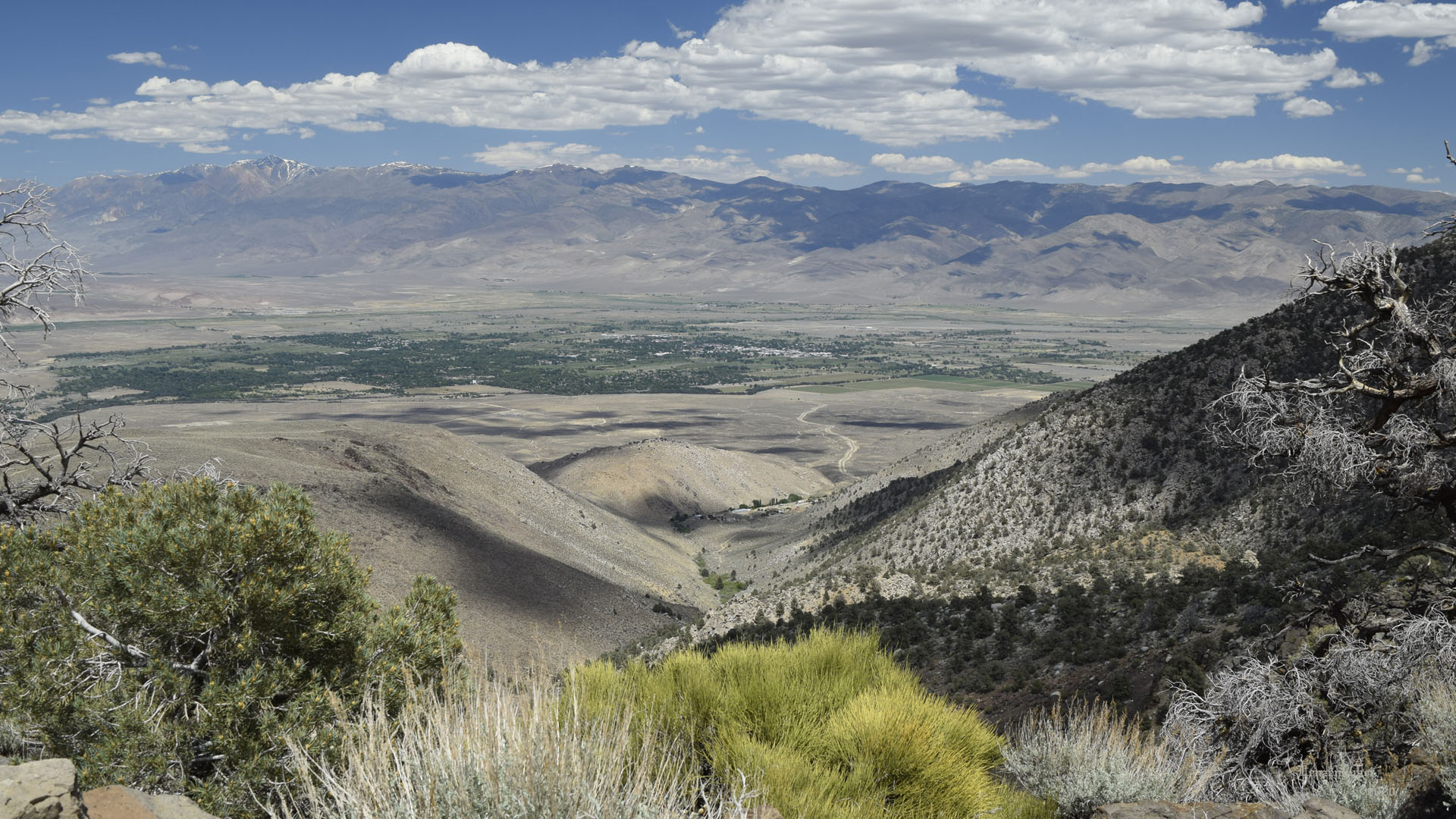
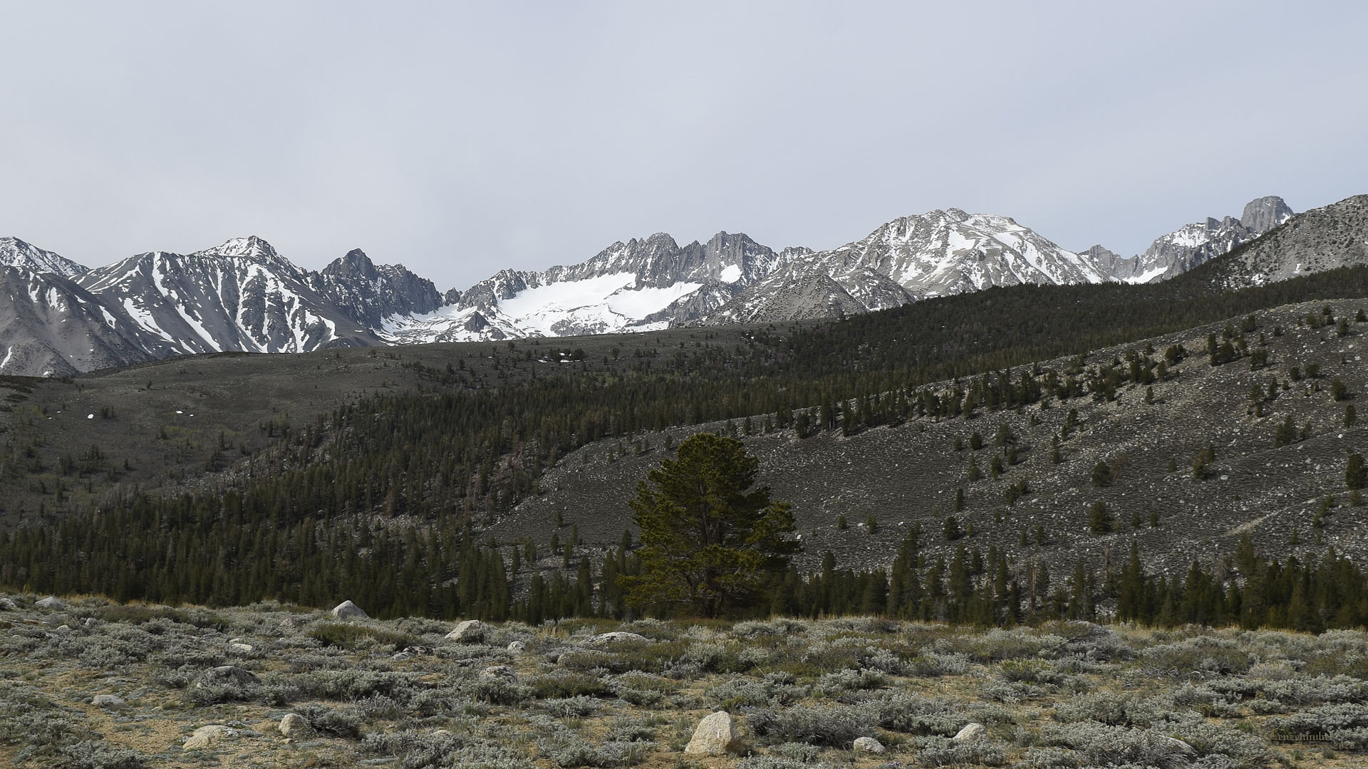
| Deadman Creek,
Deadman Summit area |
 |
| Two Tears |
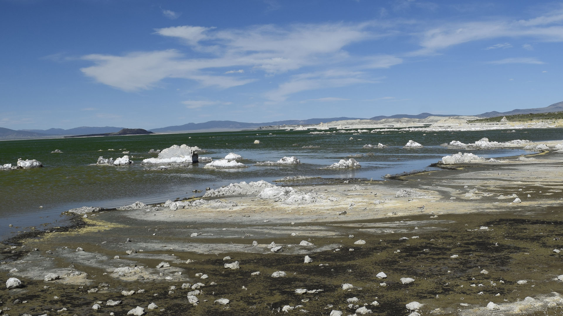
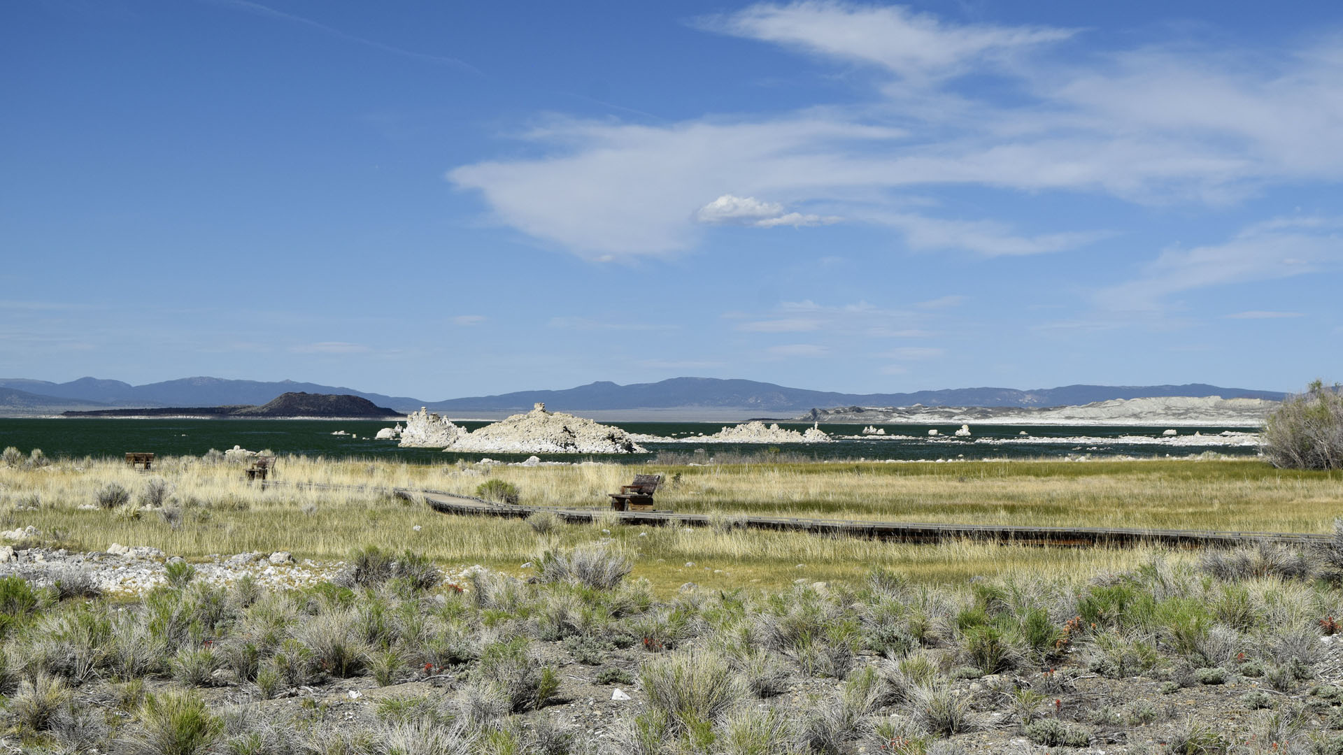
| Mono Lake |
|
 |
 |
| Find the bird. Black areas are brine flies |
Don't remember the boardwalk below the visitor
center but it's been years |
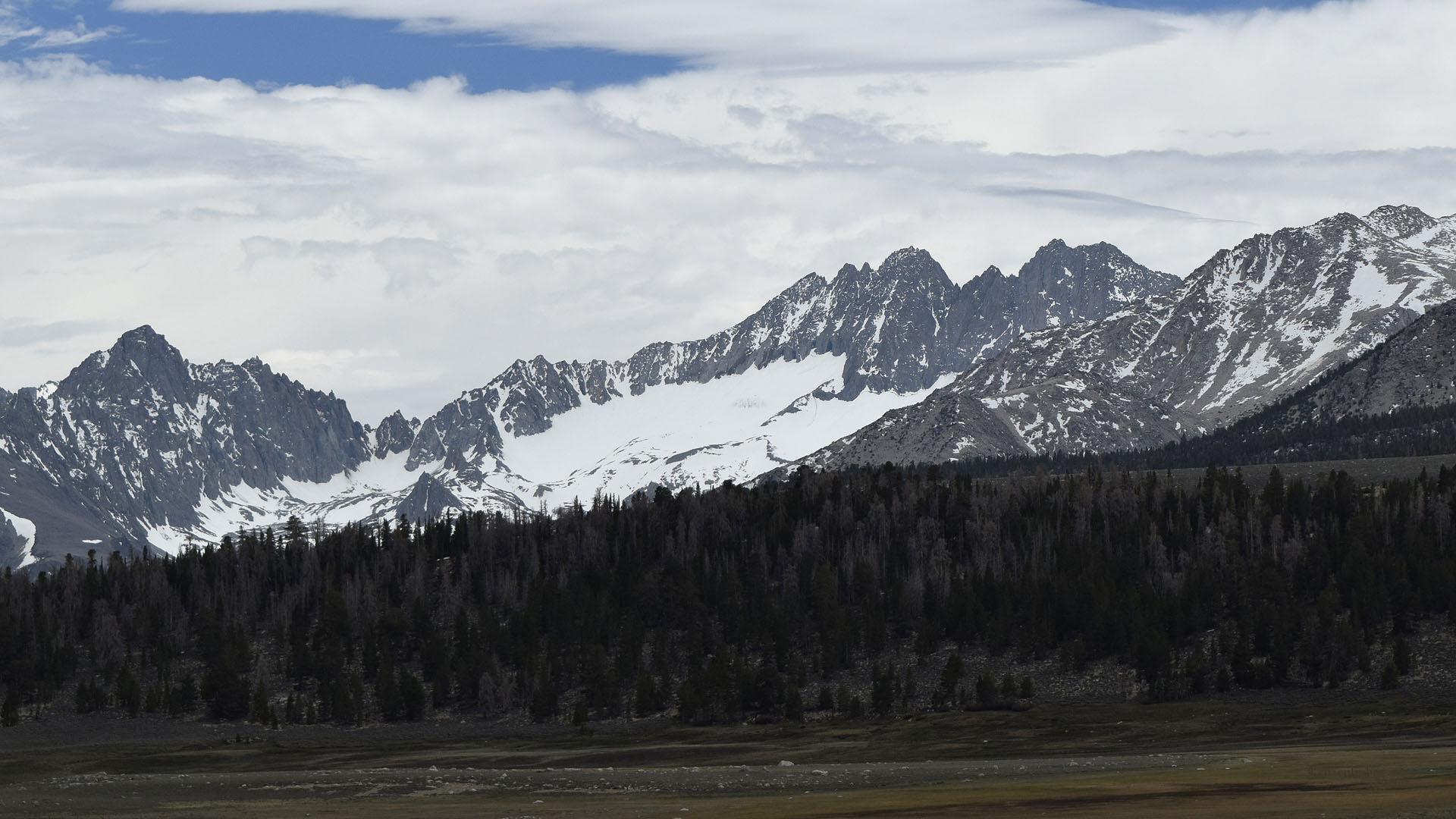
| I camped one night at the end of
Deadman Creek Road. Hiked about a mile up the trail to see Two Tears
which is still on my climbing list. Spent the next night on Bald
Mountain Road near US395 with my brother in law Frank and his friend.
There were a couple tiny snow banks around my first camp for my dog
Mya.. |
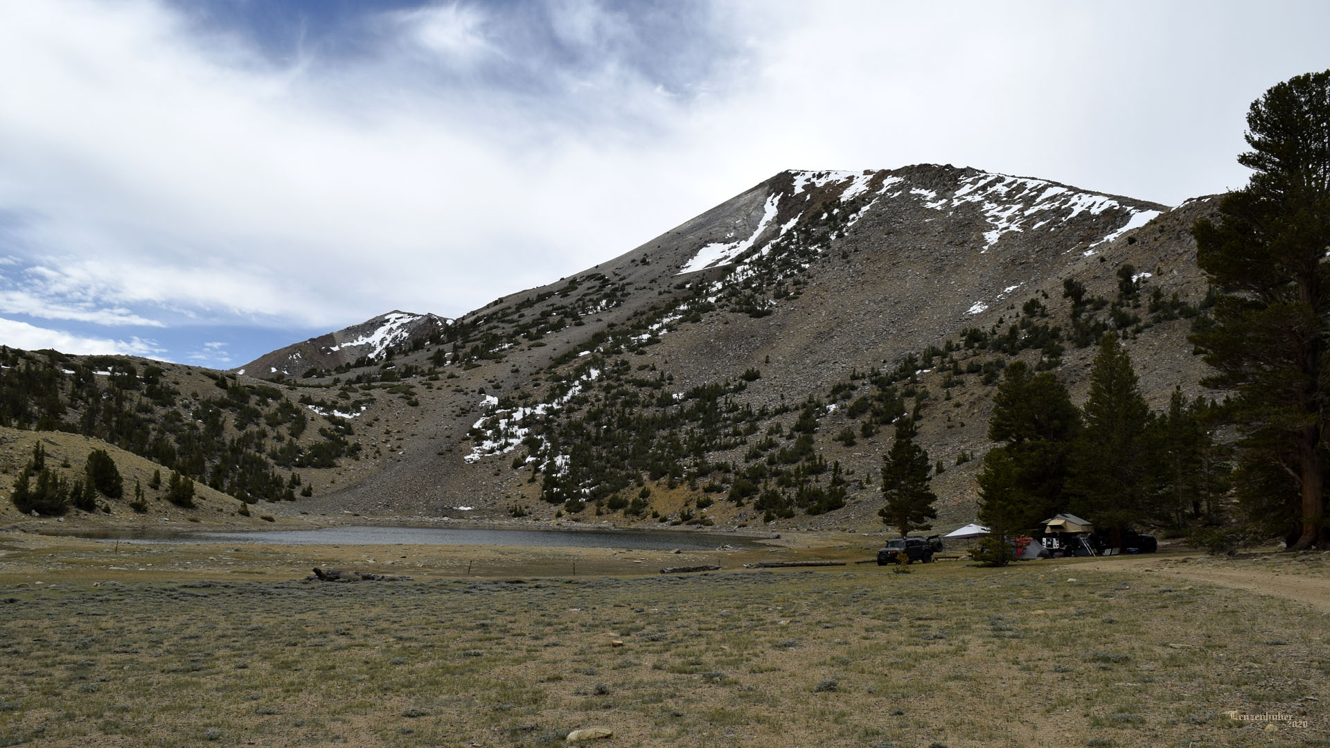
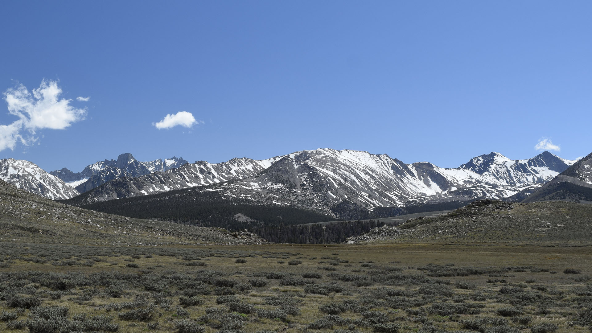
| Coyote Flat |
 |
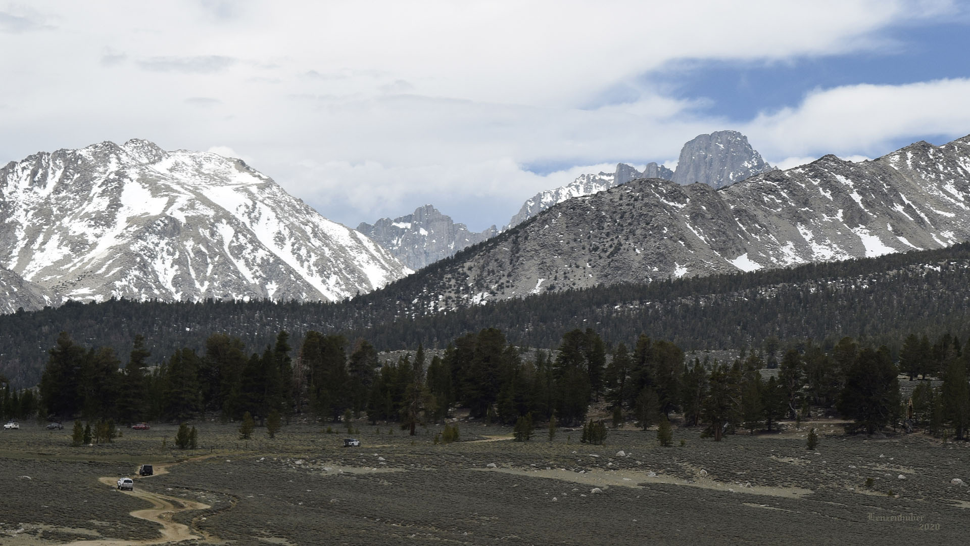
| The Middle Palisade Glacier |
 |
 |
| Down to Bishop while climbing up to the north
end of Coyote Flat |
Someone was camping at Coyote Lake. Last time
I went to Funnel and Rocky Bottom Lakes |
 |
 |
| Mt Alice on the left and Mt Sill summit block
in the distance (right of center) |
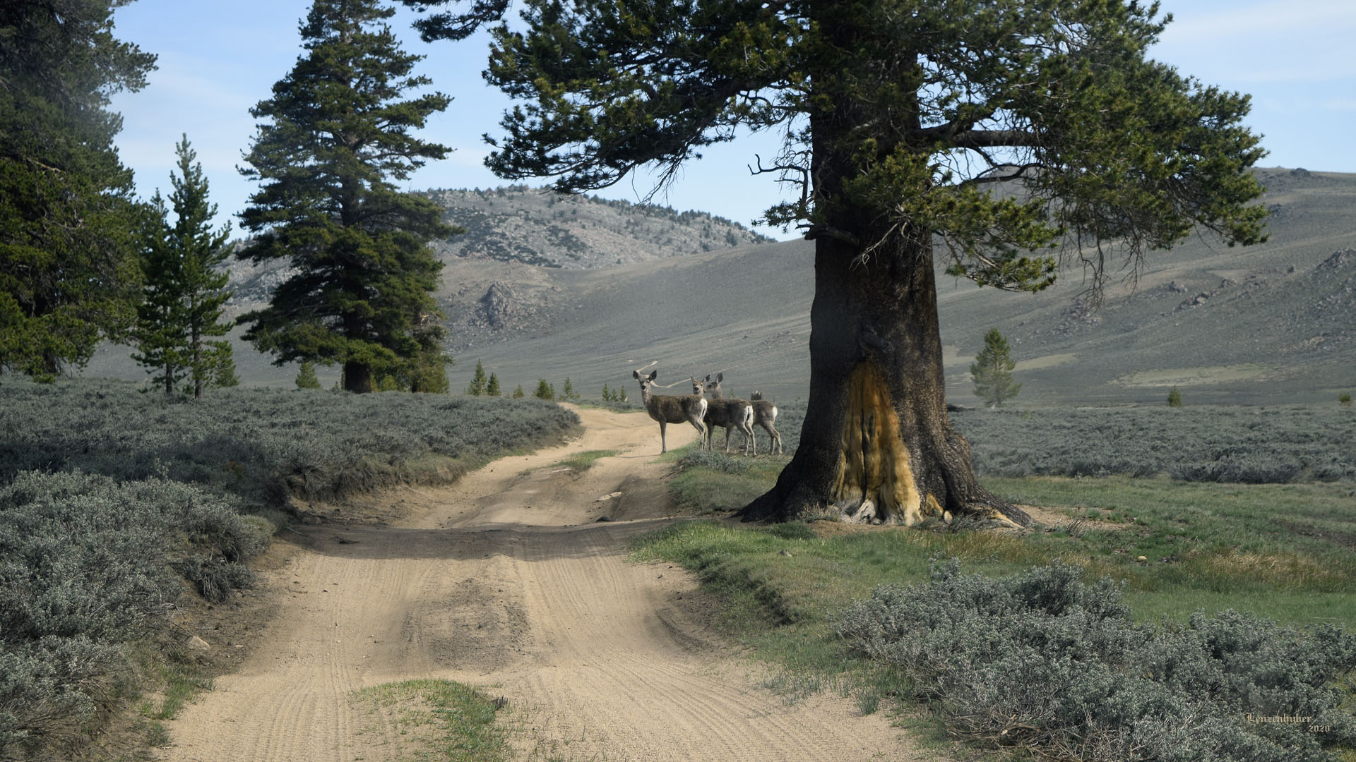
Some locals (Saw about 6 deer
total all does) |
 |
| I have climbed Middle
Palisade (middle) and Mt Sill (far
right) |
 |
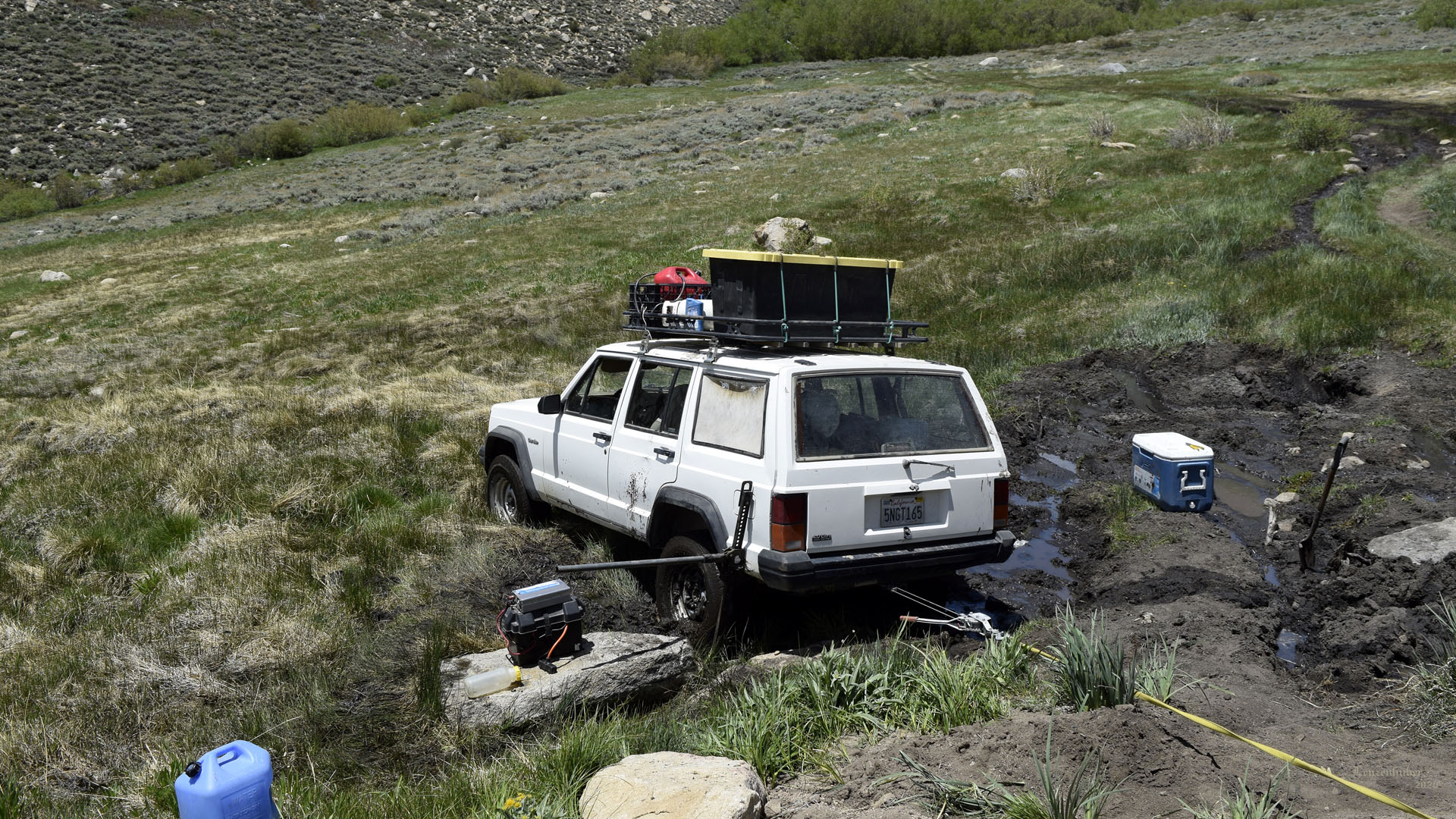 |
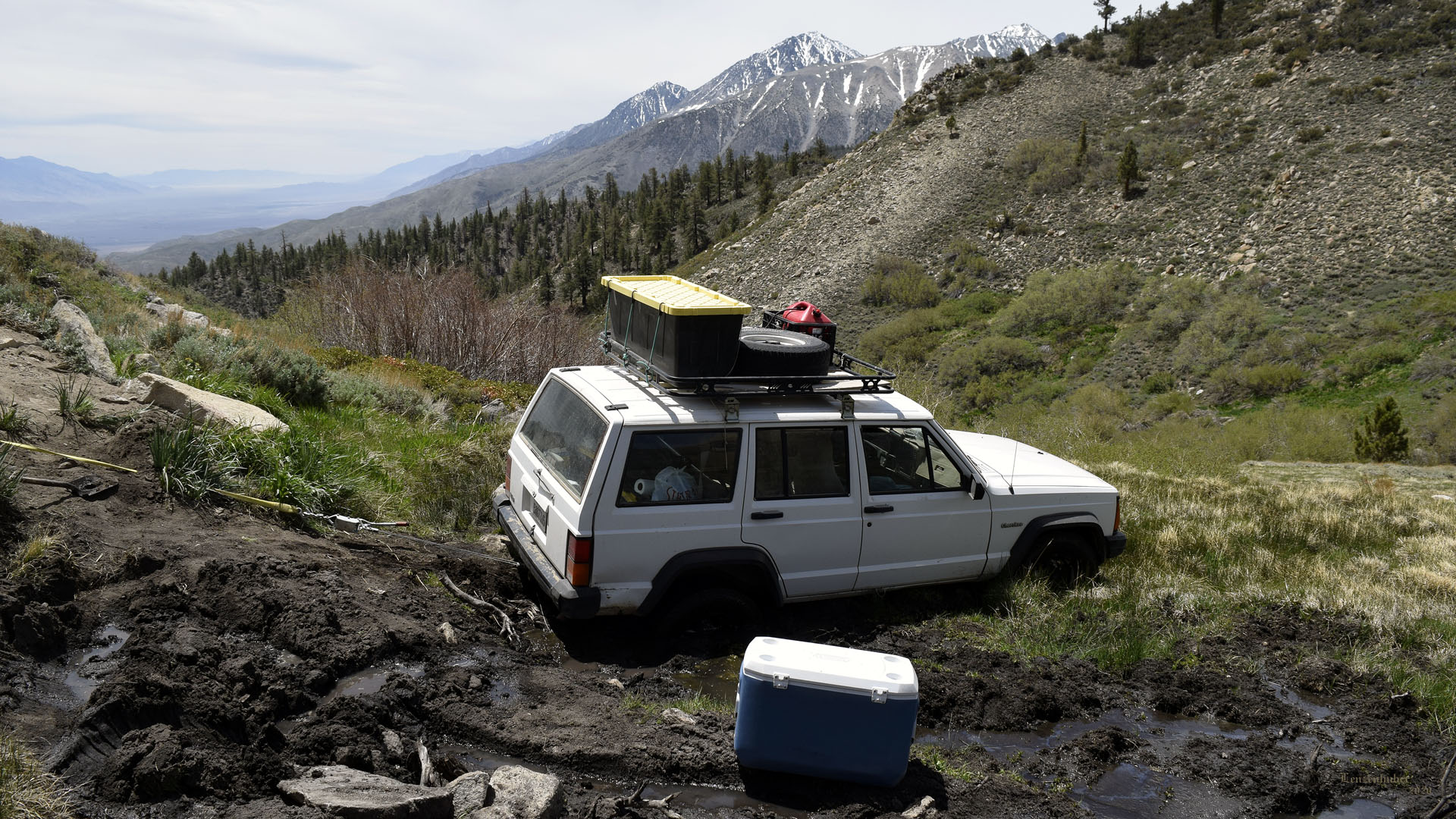
| Slight technical difficulty. I
was trying to get down to Big Pine when I decided to turn around in a
tight place and screwed up. Spent a couple of hours in the deep mud with
a highjack and a come along trying to get rocks under the wheels.
Figured it would be an all day affair at least. Three beefed up
Wranglers show up and winched me out leaving two foot deep furrows in
the mud for 30 feet. Three dirt bikes and two Razors went down past me.
The Razor people claimed that it was passable all the way for them. The
Wranglers turned around because they were staying in a cabin on upper
Baker Creek and weren't sure of proceeding farther down. I went back
north the length of Coyote Flat to Bishop, they way I got in. |
 |
| Mt Sill and
North Palisade
(distant left) and Cloudripper (distant right). Baker Creek leading
towards Cloudripper. |
| Symmes Creek |
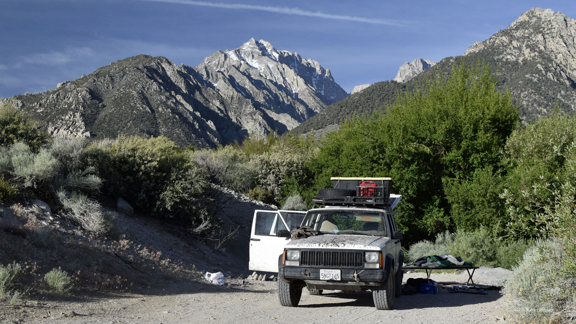 |
| Final camp at Symmes Creek with
Mt Williamson in the background. (2nd highest in
California at 14,375') |
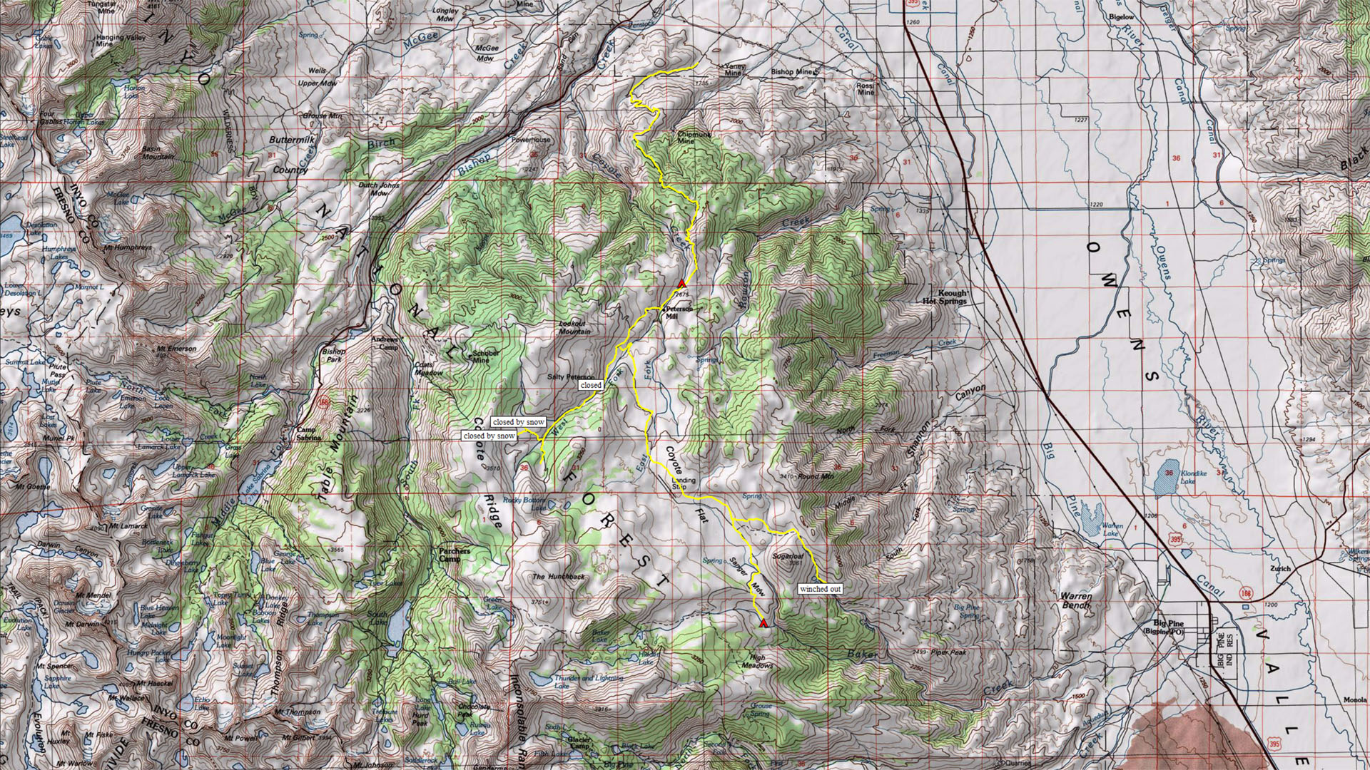 |
| Coyote Flat area |
| Back
to Recently |