| Back to map
to Map
Back to Palisades
Back to Mountaineer |
| North Palisade |
| 14,242' (4340m) 4th highest in California 1994 |
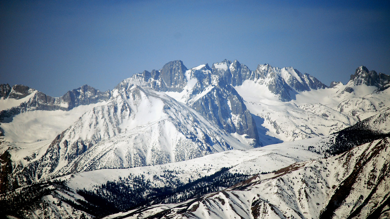 |
| Mt Alice, Temple Crags, Mt Gayley, Mt Sill, North Palisade
(North Palisade is distant right of center with
rectangular snowfield) |
 |
 |
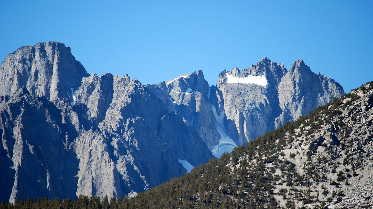
| Mt Sill left, North Palisade right
U Notch to the left of North Palisade is the route |
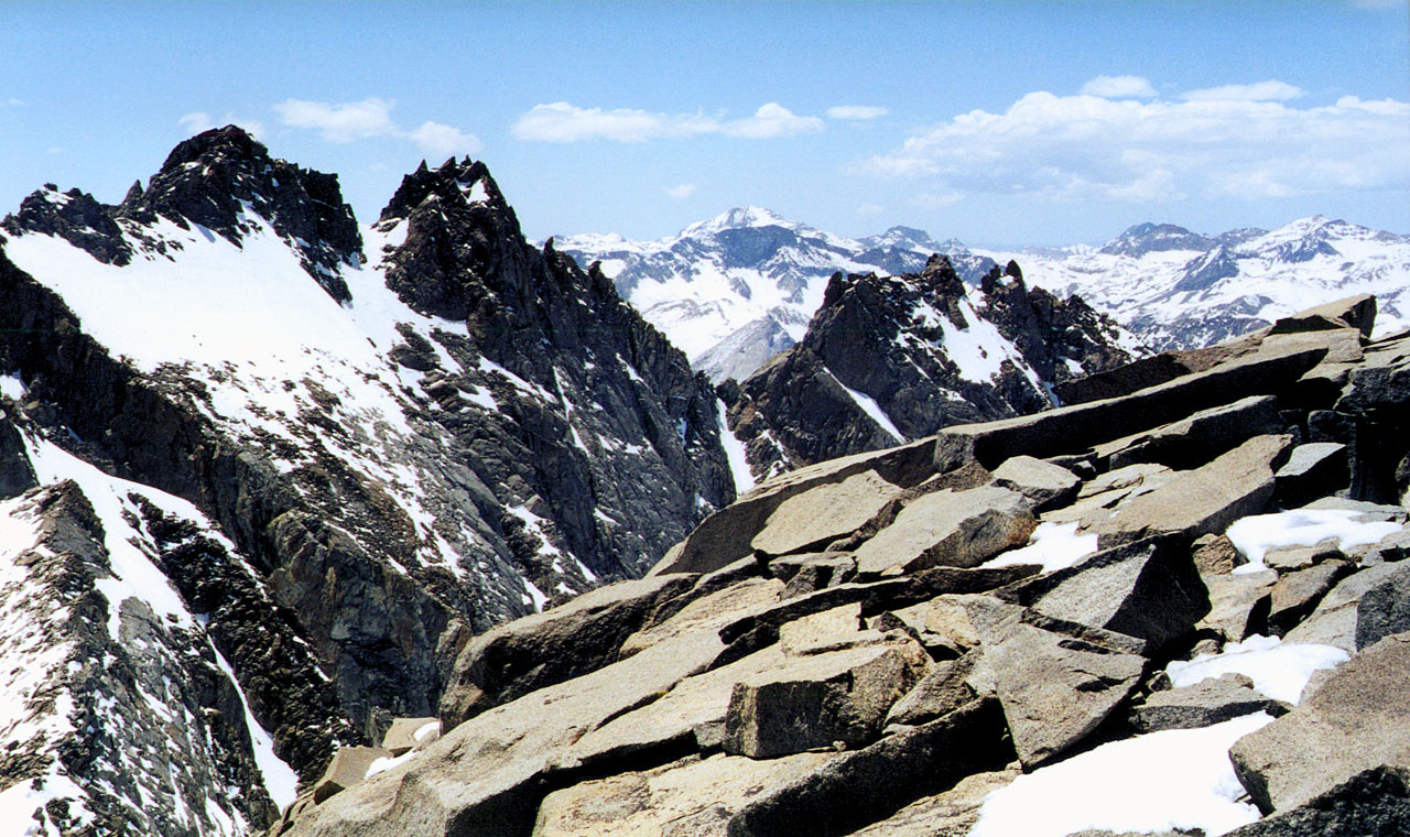
North Palisade from the summit of Mt Sill |
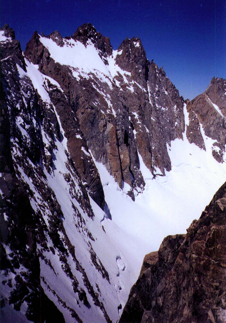 |
North Palisade was accomplished on
the first attempt Memorial Day Weekend of 1994. Randy, Mike and I hiked
up the North Fork of Big Pine Creek from the Glacier Lodge area. We
crossed the creek between first and second lakes and put a high camp out
on a rocky spit intruding into the glacier. In the morning we climbed up
the U-Notch after easily crossing the mostly hidden Bergschrund. Near
the top of the notch we did a couple of protected pitches north with
Mike leading. We popped out above the rectangular snowfield on the east
side. I remember as we transversed the snowfield that if it avalanched
there would be no way we could arrest before we went off the several
thousand foot cliff beneath it. After crossing the snowfield there was a
final summit block. At one point Randy and Mike crossed an extremely
exposed face near the summit. I chose to climb around and avoid the
exposure. On the way up from the U-Notch to the snowfield we put in a
camming device anchor we couldn't free. We failed to free it on the way
down and left it there. |
| |
| Back to map
to Map |