| Back to map
Coyote Flat (Page 2) |
| Coyote Flat |
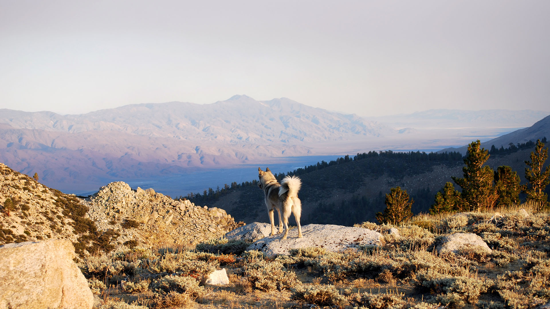 |
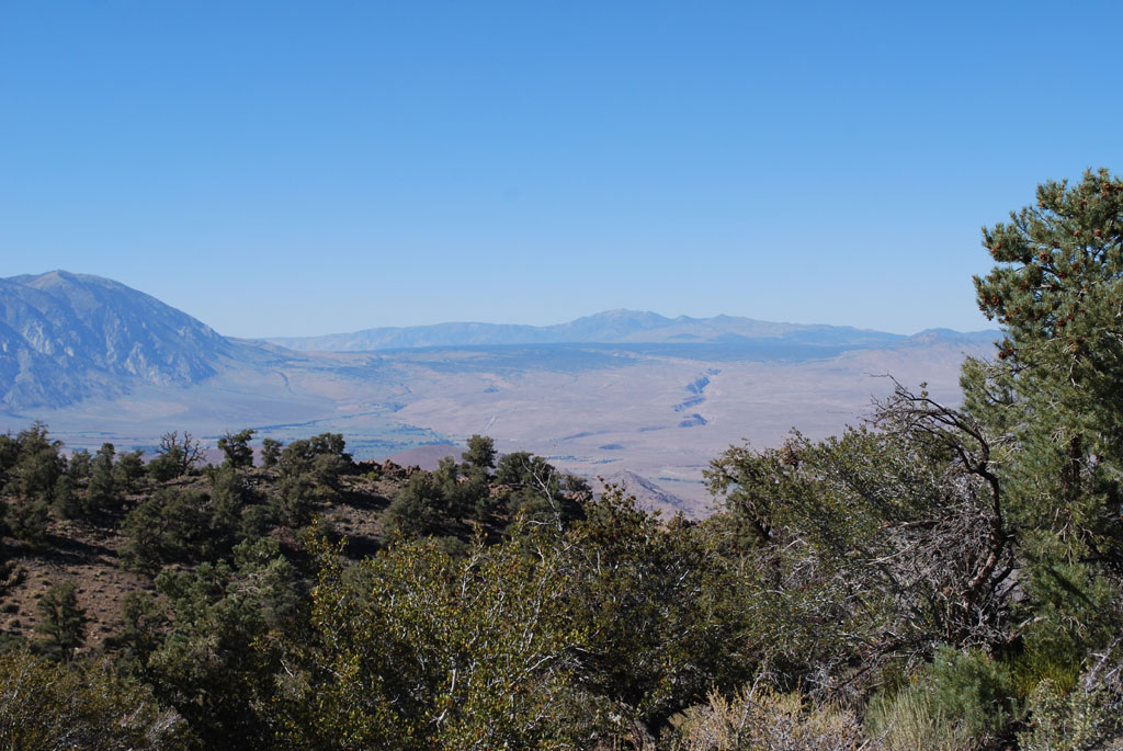
| Owens Valley and the Inyo Mountains from the
southeast corner of Coyote Flat (Also distant Coso
Mountains beyond the Owens dry lakebed) |
 |
| Coyote Flats from the Inyos Mazourka Peak. Sugarloaf is
the mid ground triangular protuberance near the right of the picture
with Mt Tom behind it to it's right. |
 |
 |
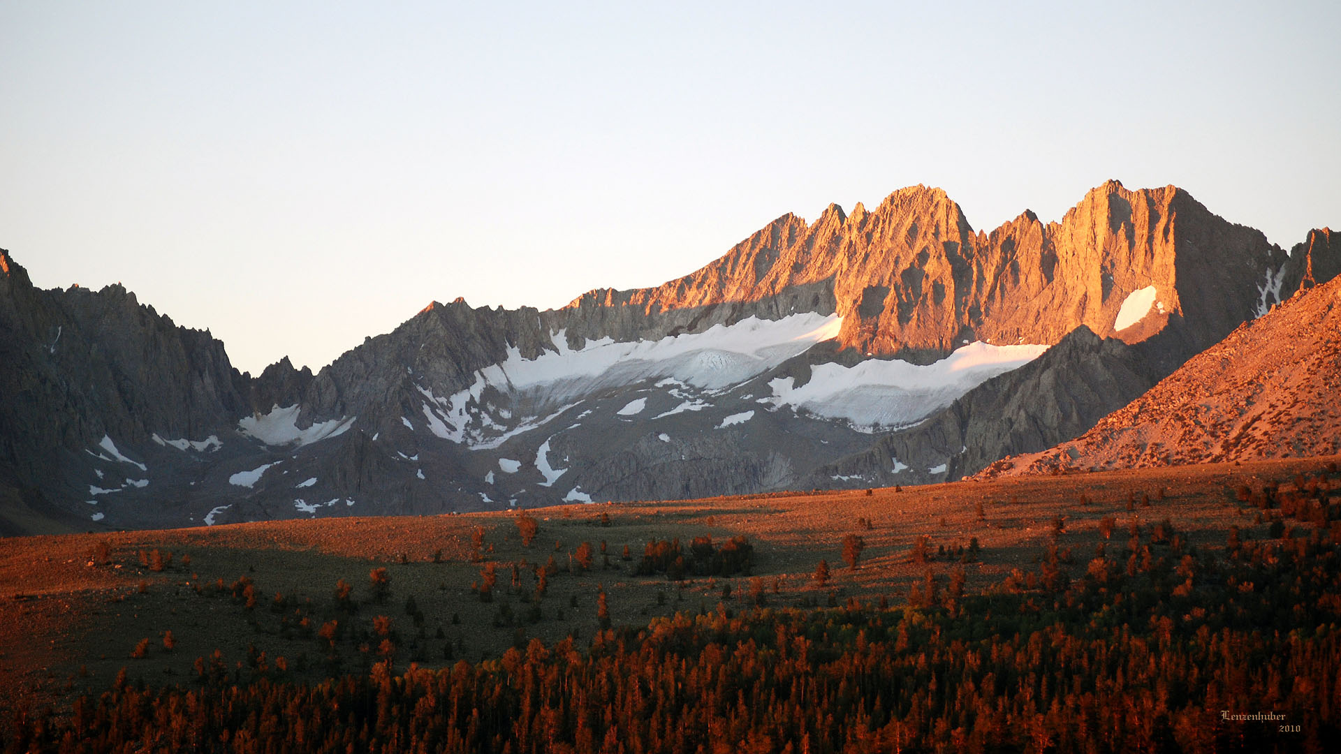
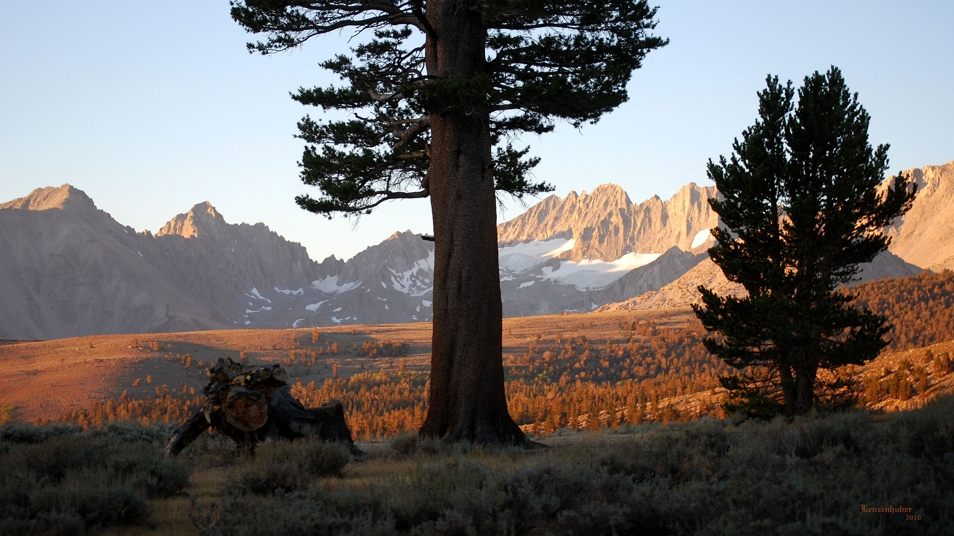
| Sunrise on Middle Palisade and Norman Clyde (Mt
Constitution) |
Sunrise on Mt Sill and Mt Gayley |
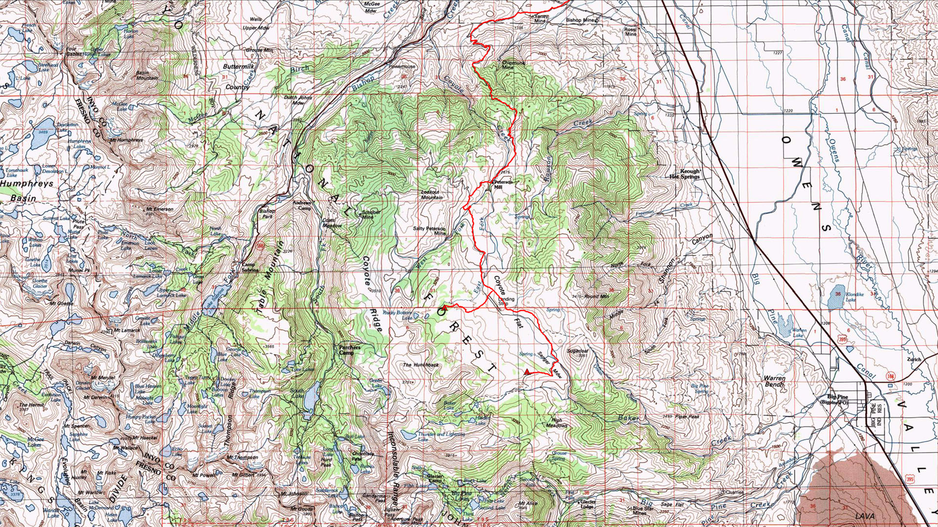
| There is supposed to be a road that goes up to the flats
near Sugarloaf from the Big Pine area. Last I heard you need a dirt bike
to do it. That was more than a few years ago. The normal way to get on
top in a 4x4 vehicle is by cutting the corner by Bishop near Browns
Campground and coming in from the north. I don't believe there is a way
to drive via the north fork of Big Pine Creek. |
 |
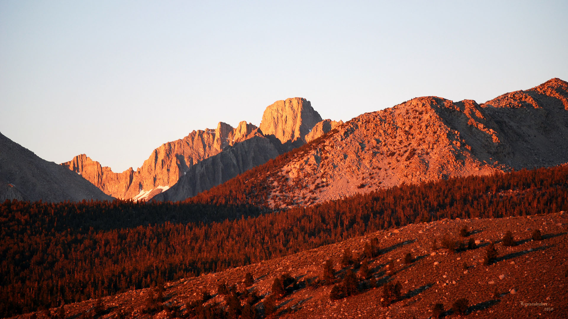
| The south end of Coyote Flat offers a great view of the
Thumb and Middle Palisade. |
 |
 |
| Bishop and distant White Mountains while climbing up to
Coyote Flat |
Owens River Gorge in the distance |
 |
 |
| Distant eleven thousand foot Round Mountain (11,188') |
Mya checking the depth of Coyote Creek where the road
fords it. |
 |
 |
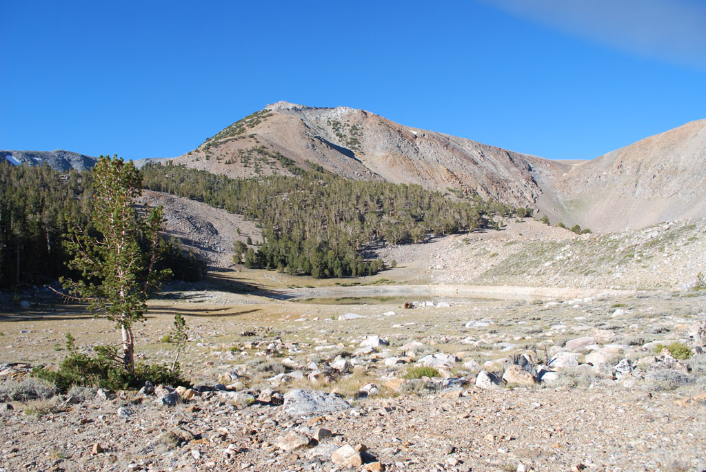
| Funnel Lake (10,364')
Rocky Bottom Lake is in the bowl beyond it to the right |
 |
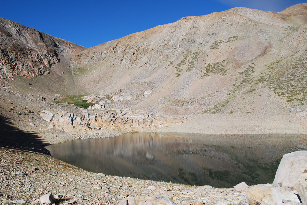 |
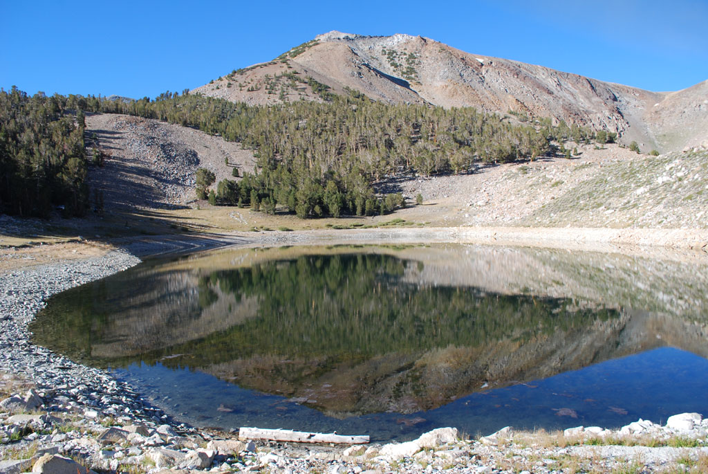
| Rocky Bottom Lake (10,376') |
| Panorama |
| Area Map |
 |
| Back to map |