| Back to Coyote
Flat (page 1) |
| Coyote Flat |
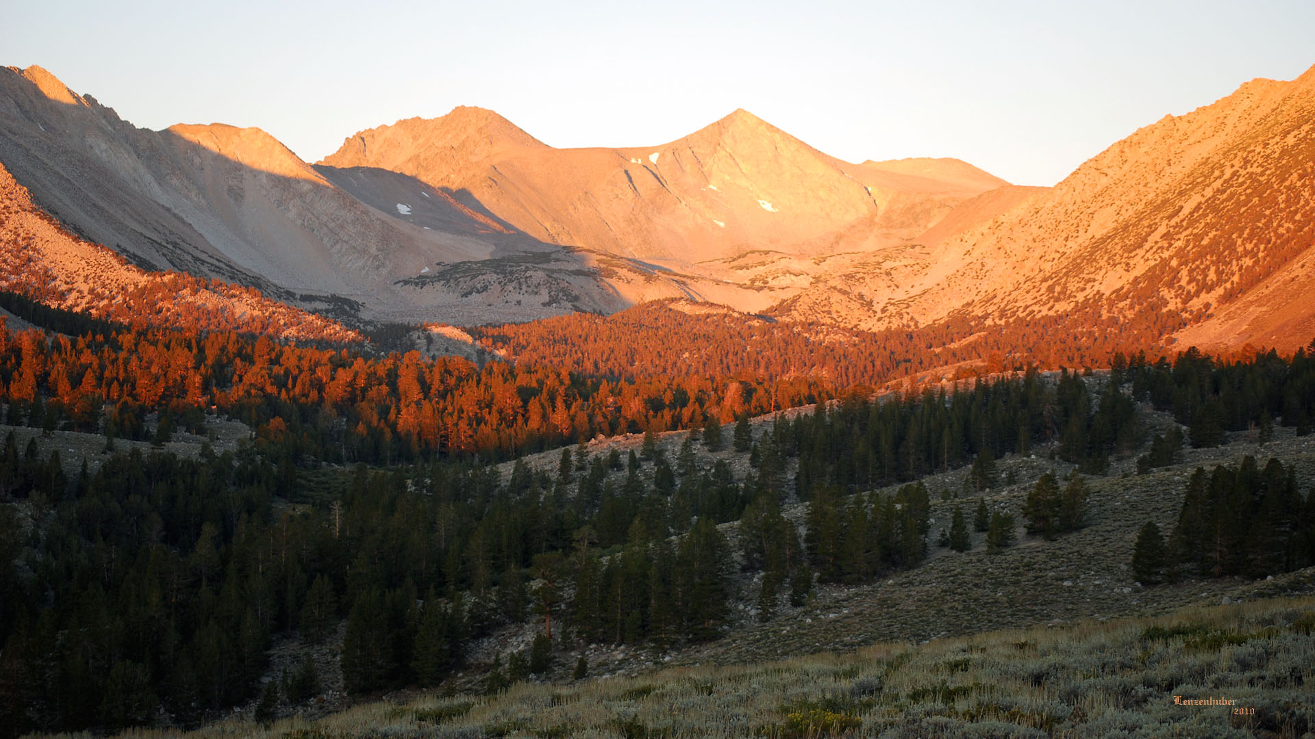 |
| Upper Baker Creek and the Inconsolable Range (Part
of Cloudripper maybe) |
| North End of Coyote
Flat road |
 |
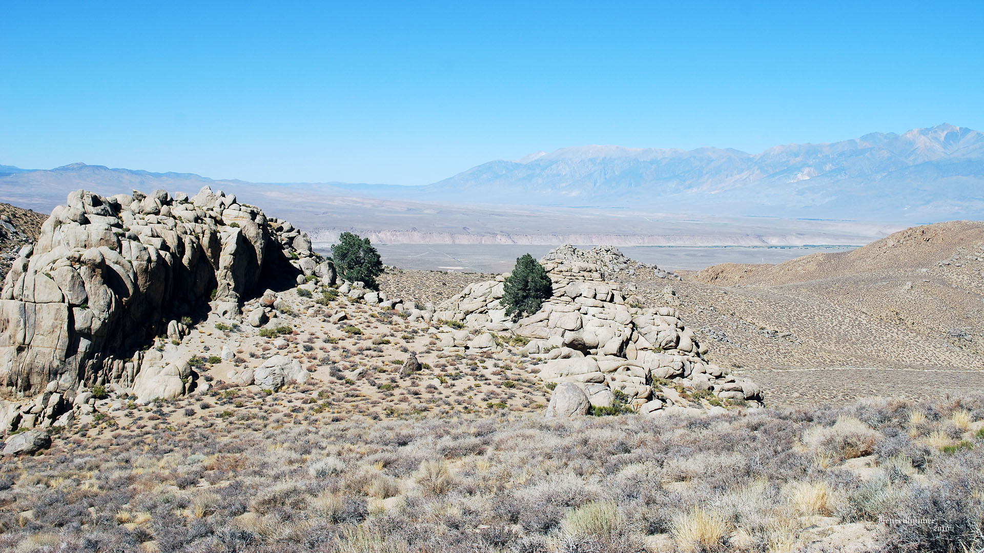 |
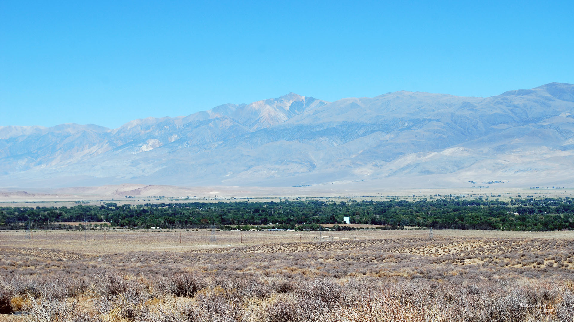
| Bishop and White Mountain |
The Bishop Tuft and distant White Mountains |
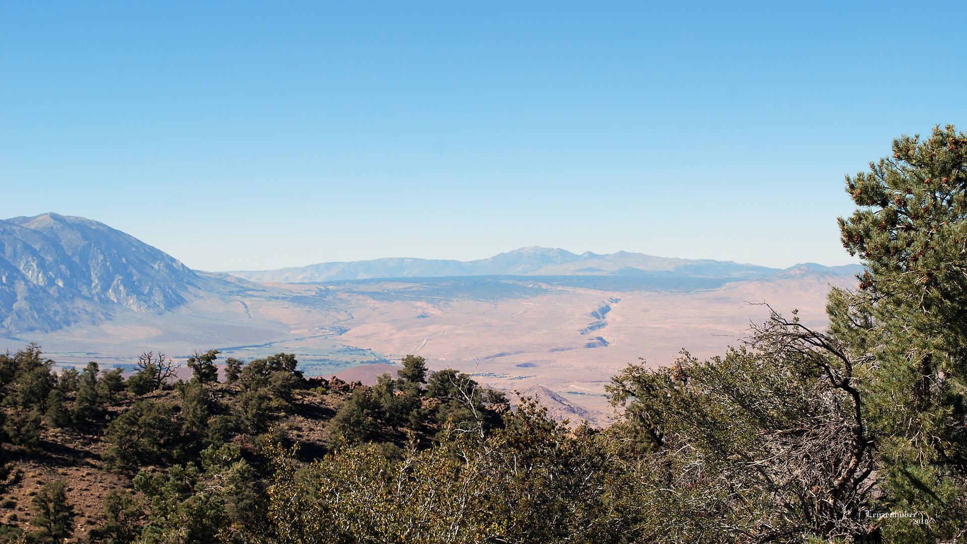 |
| The Owens River cutting a gorge through the
Bishop Tuft (Distant Glass Mountain) |
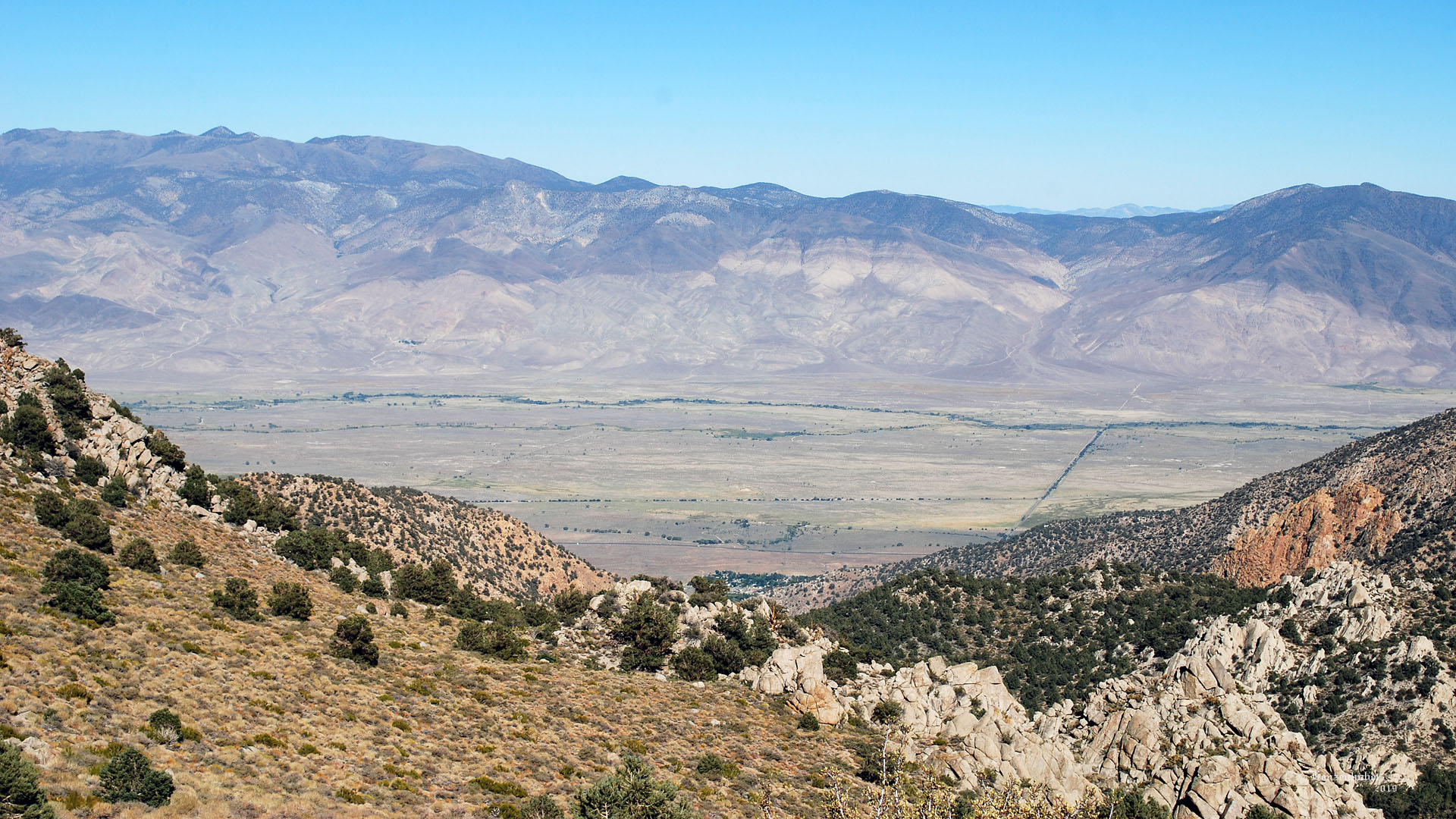 |
| White Mountains with Black Canyon near the
right side looking down Rawson Creek drainage. (Black
Canyon takes a left about halfway up while Marble Canyon continues up to
the ridge.) |
 |
| Two 14,000'ers I've climbed.
Mt Sill (14,162')(distant center)
and North Palisade (14,242') (with rectangular
snowfield to the right of Sill) Mt Alice is the bulky
mountain on the left side of the picture |
 |
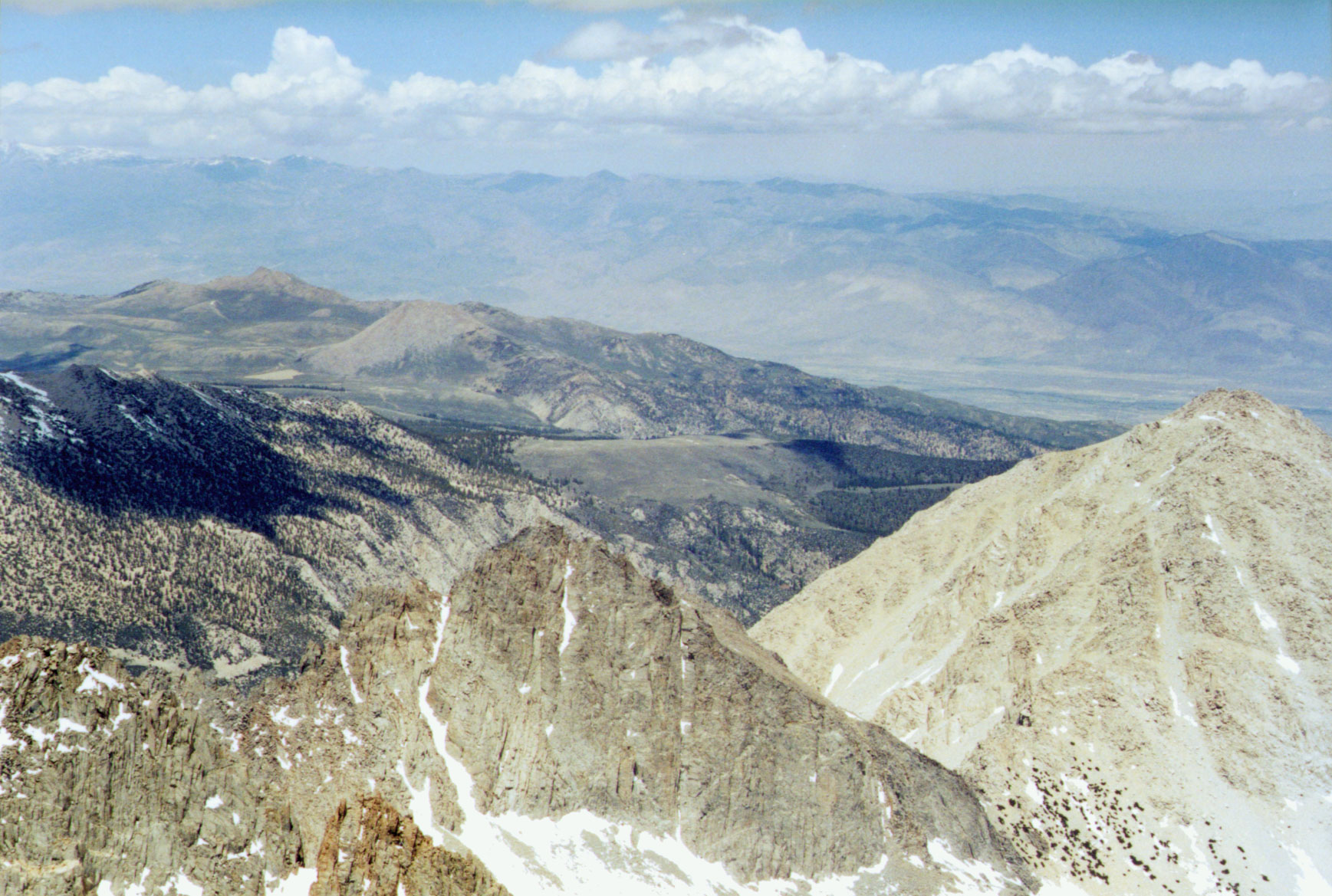 |
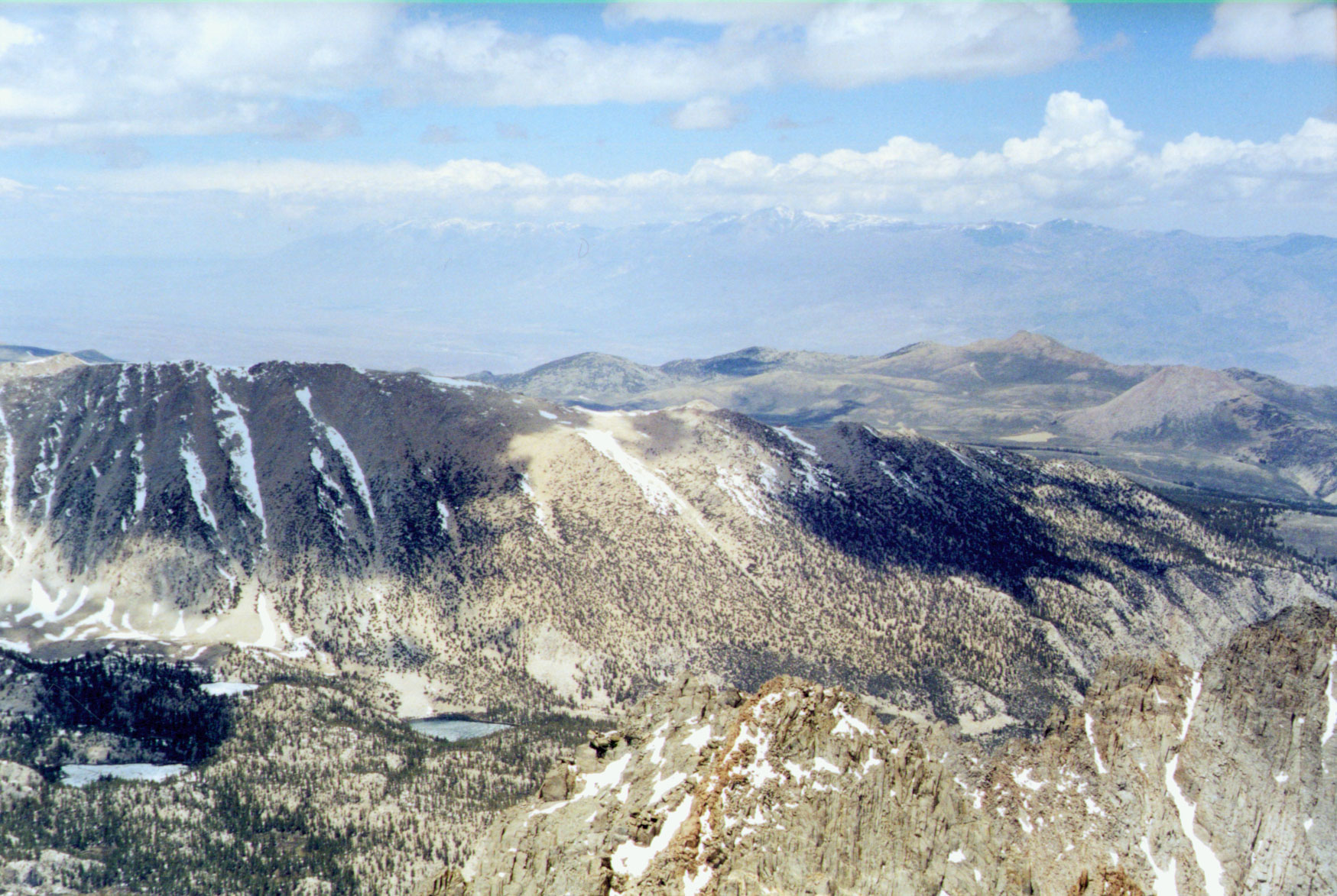
| Southern end of Coyote Flat from the summit
of Mt Sill |
| Back to Coyote
Flat ( page 1) |


