 |
 |
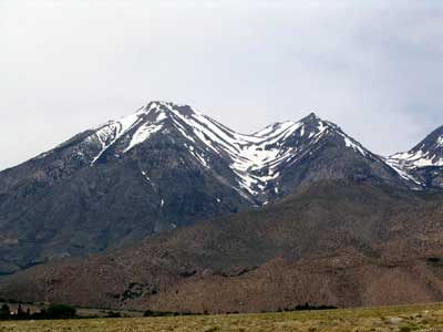
| East face of Kearsarge Peak from US 395 (left
peak) |
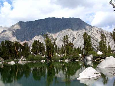
South face of Kearsarge Peak from Robinson Lake (Aug
2004) |
 |
 |
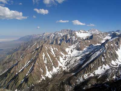
| Owens Lakebed, Lone Pine Peak, Mt Williamson, Mt Keith |
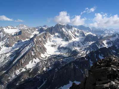
Mt Keith, Junction Peak, Mt Ericsson, University Peak (middle) |
| I did a day hike from
9000' near Onion Valley to the 12,600' summit of Kearsarge Peak
on June 15, 2005. It took 7 hours up and 4 hours down. I was
looking for some old mining roads that I didn't find so I ended
up doing the 4 plus miles cross country in deep sandy scree. On
the way up I had to work into the rocks because it was too slow
going. On the way down I was able to sand ski the fine scree and
small rocks. I reached the top without having to do any
snowfields but had to traverse one on the way down. I only
post holed to my ass a couple of times. I found a trail coming
down on the east side of the mountain. It brought me back up and
over to the west side before it petered out. I decided to go out
via the lower end of the Golden Lakes trail and hike the road
back to the Jeep. It pinched off into a narrow gorge but did
give me a good view of the snow laden Sierra and a 60 foot spire
I ended up getting back to the Jeep in the dark. |
 |
 |
| Enlarge Spire on Kearsarge Peak, University
Peak (background) |
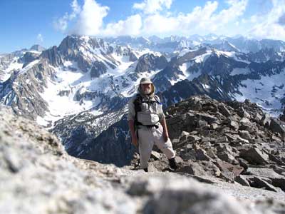
Me on summit of Keasarge Peak |