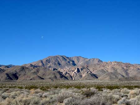
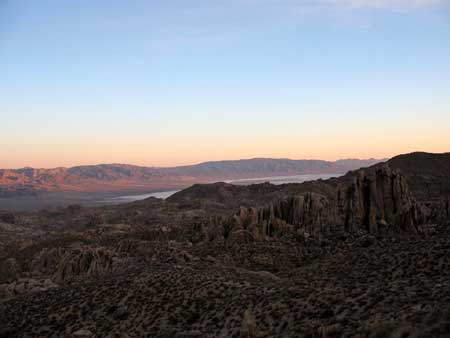
Layton Pass in the Slate Range behind Searles Lake
It takes 8 or 9 hours for
the 6 mile round trip and 3000' elevation gain to climb Argus Peak from Homewood Canyon
near the Ruth Mine area. This depends on whether you start from
Homewood Canyon or Crow Canyon. The road over the divide between
them is for serious 4 wheelers because of its steepness and I
didn't check out the access from the start of Crow Canyon Rd. From
the end of the road in Crow Canyon the route continues along a
trail for half a mile or so then you are on your own. Above Argus
Spring
there is a chute that leads up to a false summit. Going up the
chute on the north side of the ridge and moving around to the
west side. There are some cairns one the west side near the
false summit making out a route. From the false summit the true
summit can be seen to the south. There are a lot of house sized
and bigger boulders from the chute on up. There is a nice
360 from the summit with Trona being about the only thing
blocked from view.
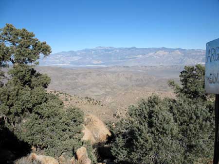
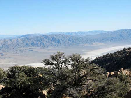
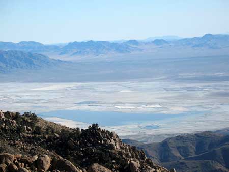
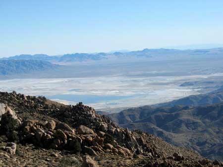
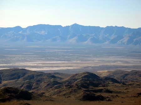
Searles Lake
Searles Lake
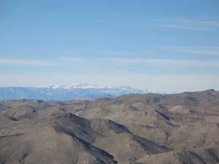
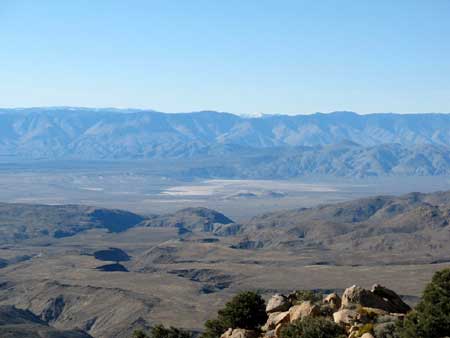
Distant Langley and the High Sierra to the northwest
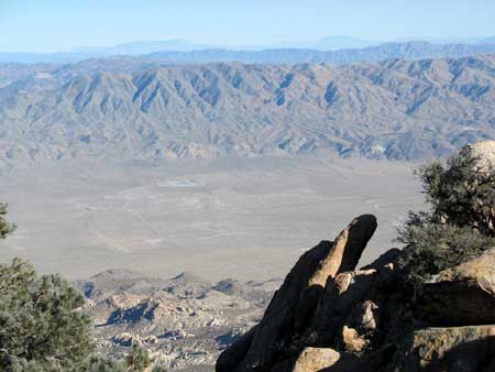
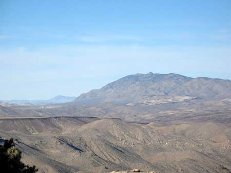
Parrot Peak to the north
Morris, Jenkins, Owens and Spanish Needles to the west