| Back to Recently |
| Owens Valley April 20-26 ,2020
(All images are HD 1920x1080) |
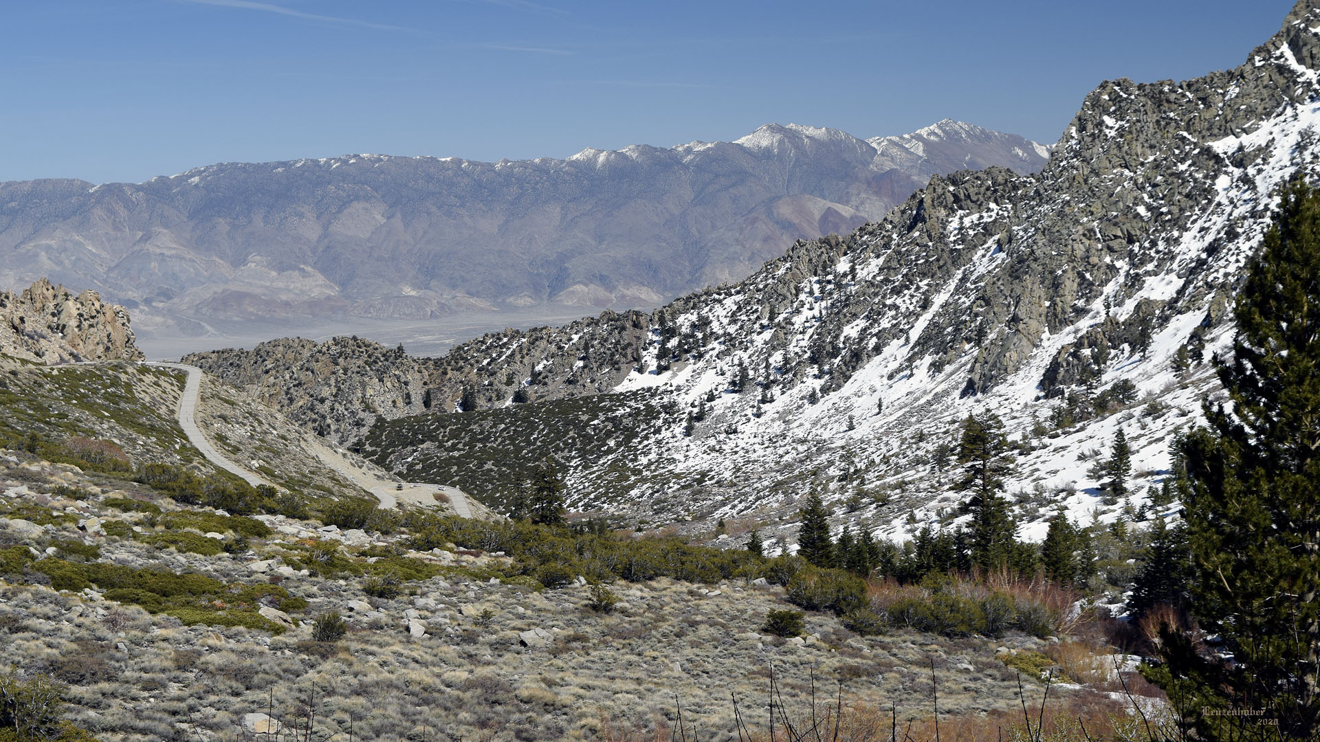
| Upper Mazourka Road |
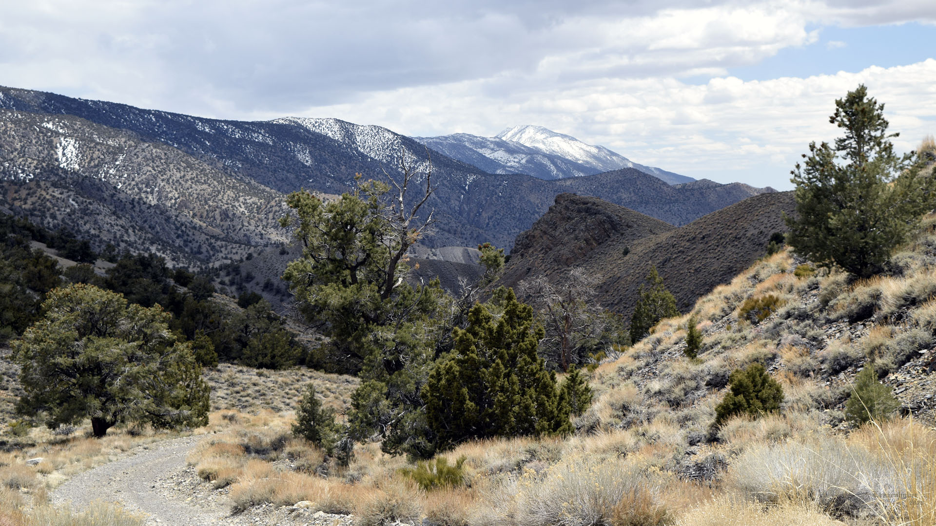 |
| The Inyos and distant Mount Inyo |
 |
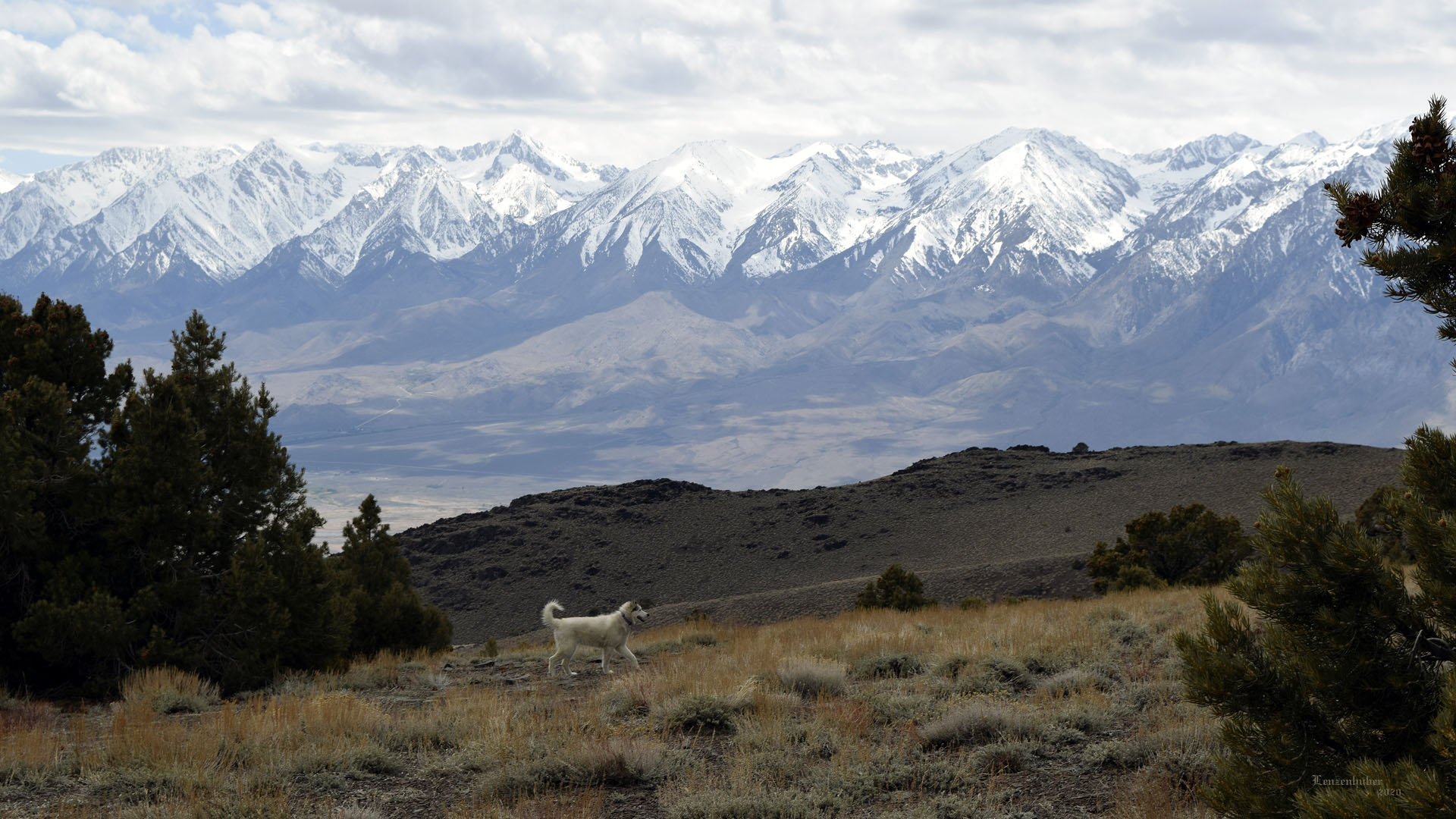 |
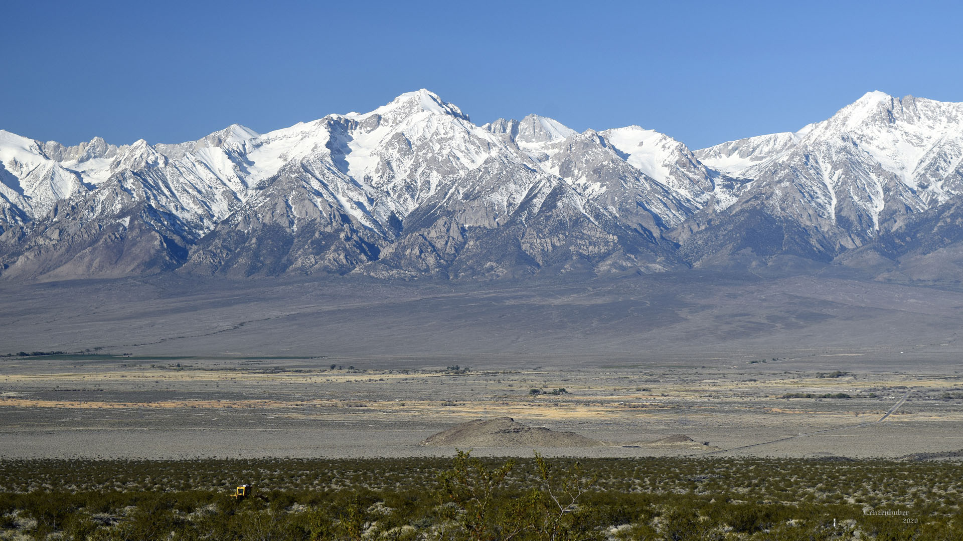
| The Sierra |
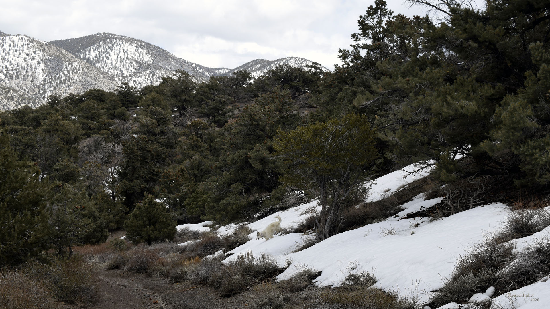 |
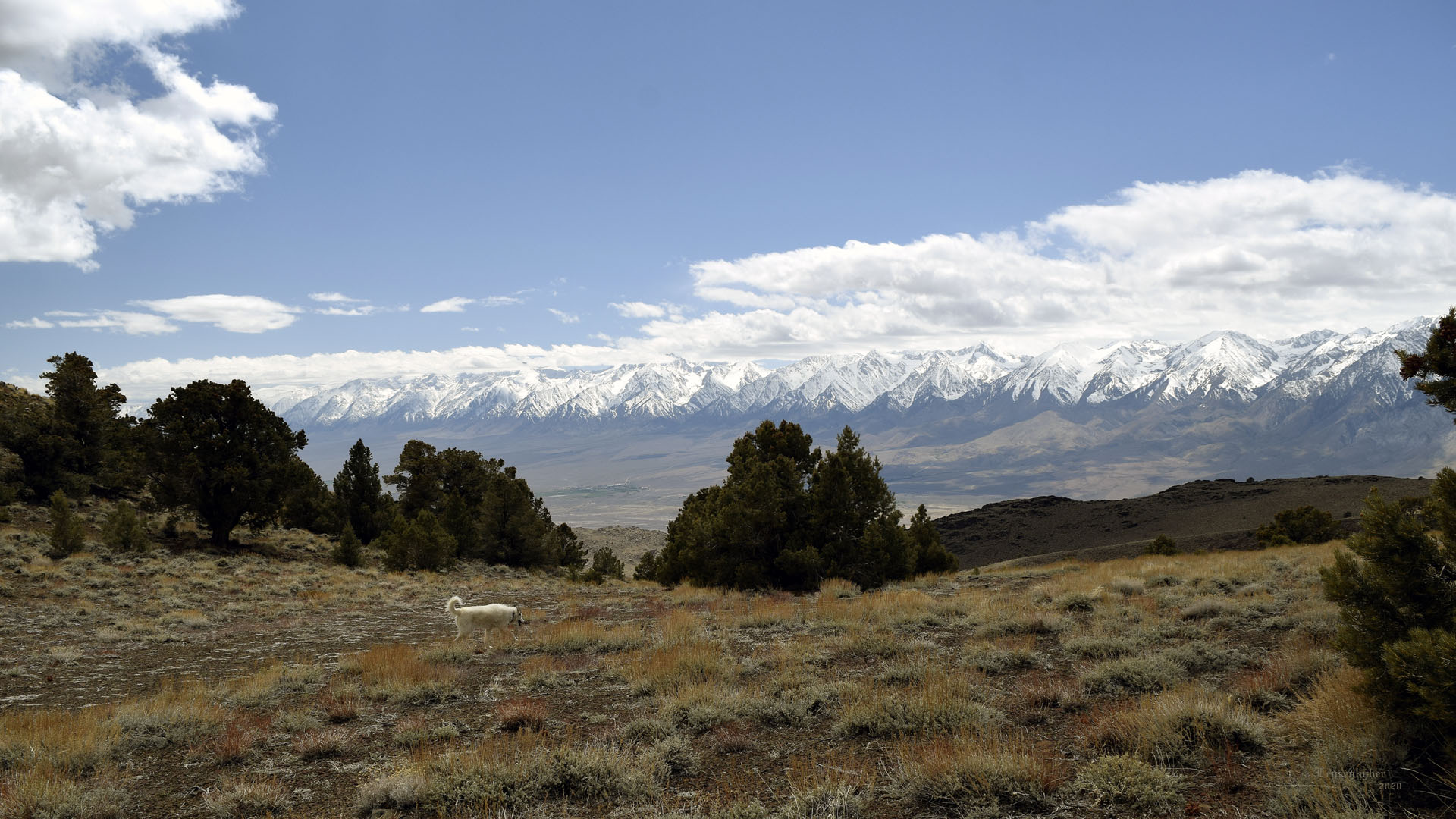
| While trying to find Mya some snow I gashed a tire sidewall
at about 8500'. Hiked out a spur for a view of the Sierra and found some
snow banks on a north facing slope. |
| Camps |
 |
| Grader was in my usual campsite for a couple days before
moving up the road. |
 |
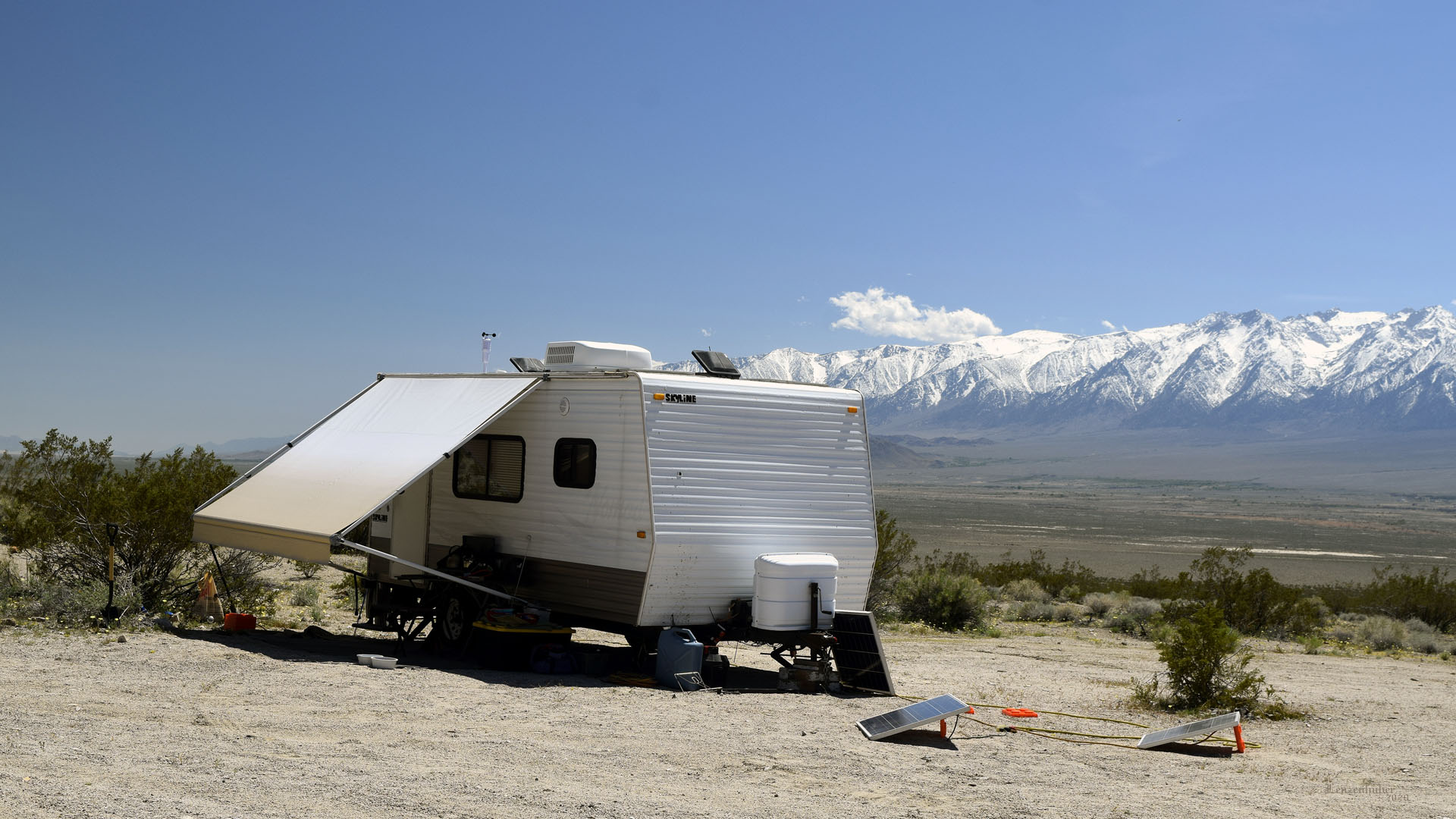 |
| Gave the campsite back to the locals and moved after grader left. |
Second (normal) camp |
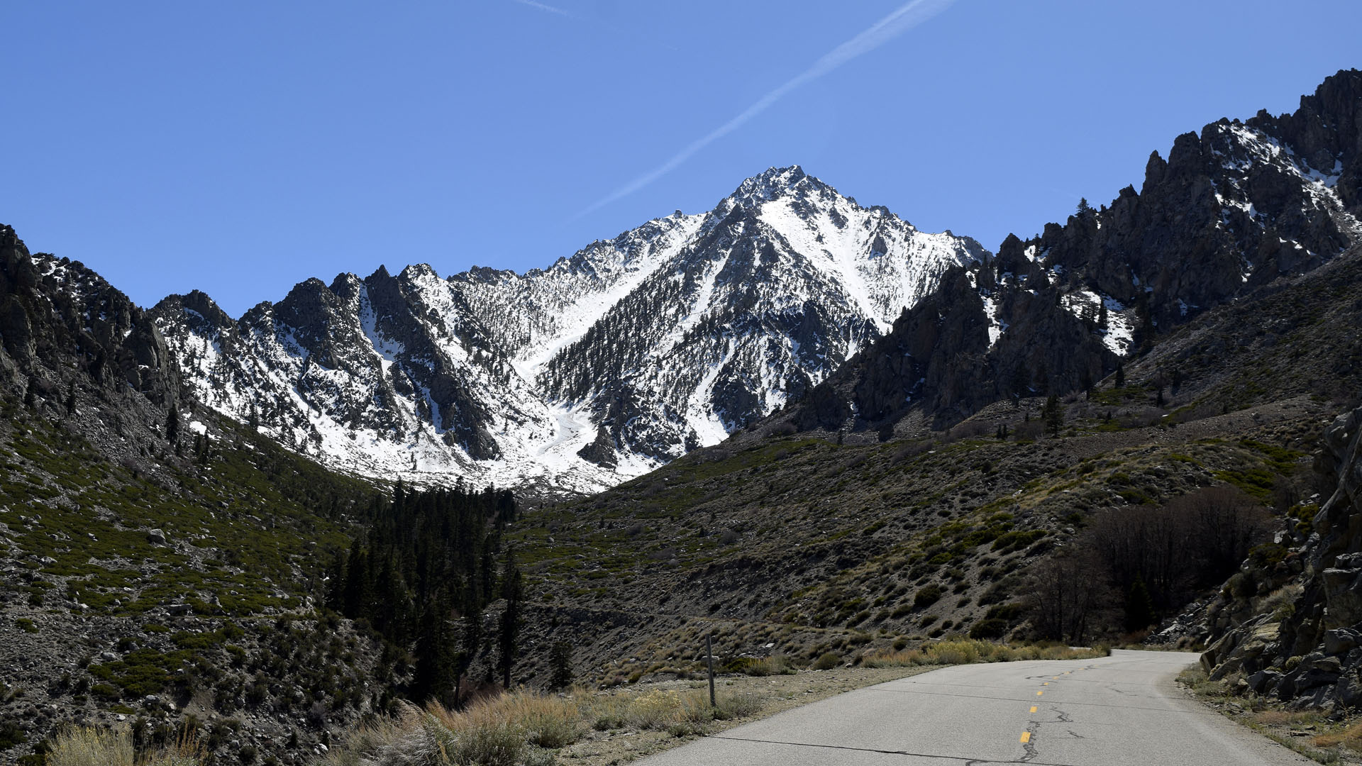
| Onion Valley Road |
 |
| Onion Valley Road with shoulder of Independence Peak and
the Inyos across the valley |
 |
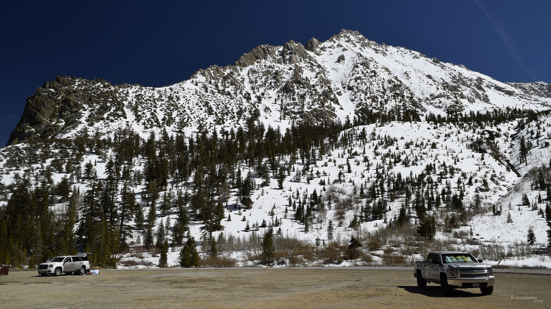 |
| Independence Peak approximately 11,600' in elevation |
Independence Peak from Onion Valley parking lot at 9000' |
 |
| Independence from Onion Valley Road. (My
camp is just to the left of center of the picture) |
| Glacier Lodge |
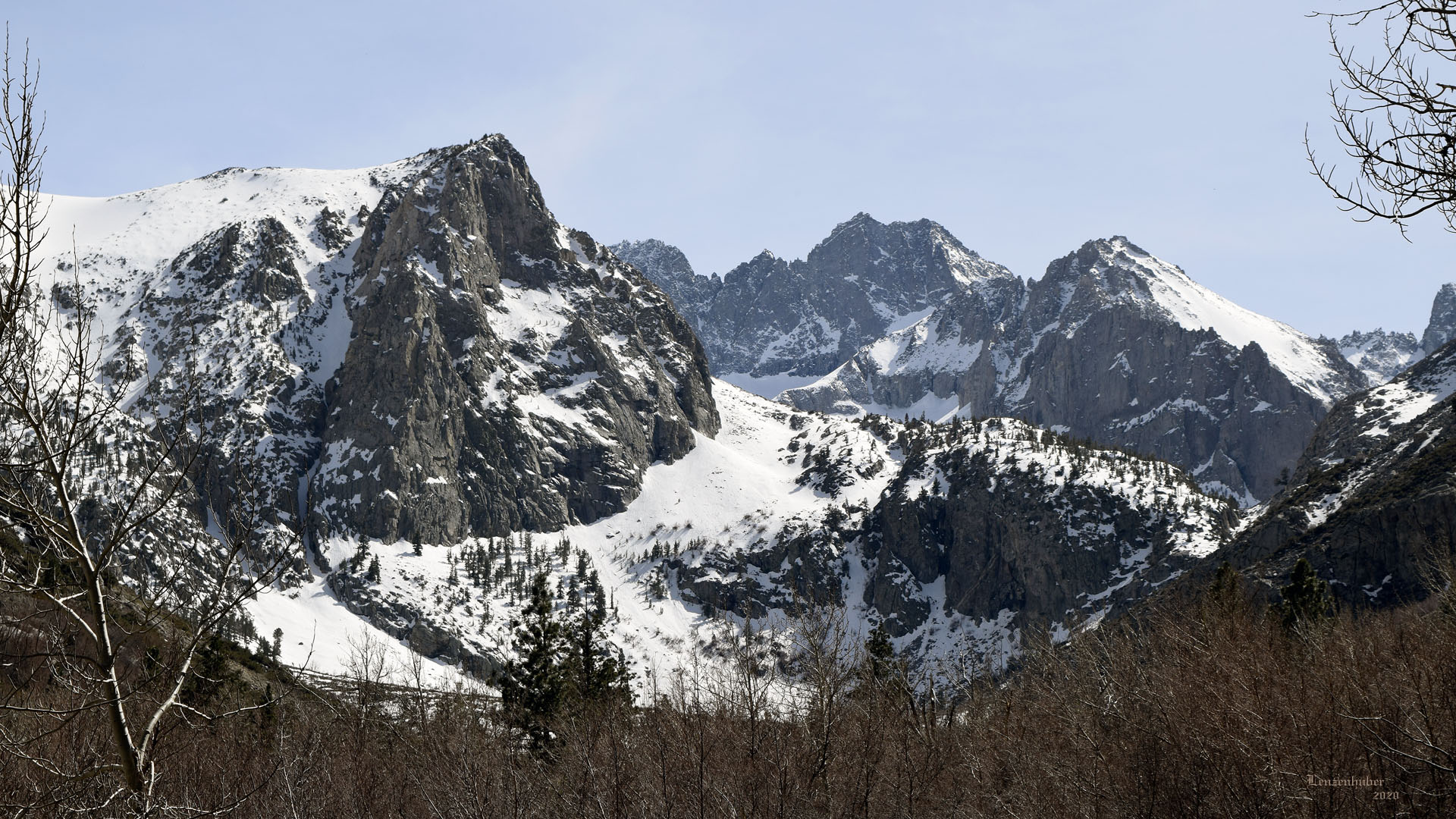 |
| Randy's Ridge. The first ridge out of Glacier Lodge on the
south fork of Big Pine Creek heading to Willow Lake. |
 |
 |
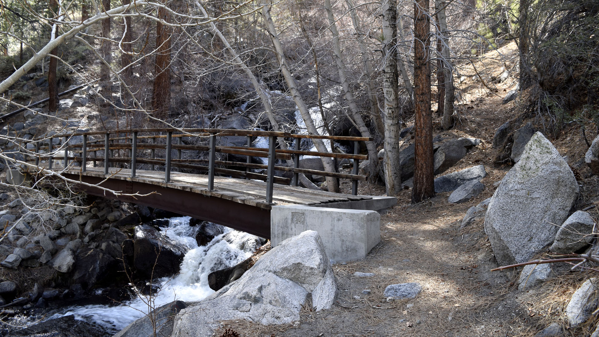
| Bridge over North Fork of Big Pine Creek above Glacier Lodge |
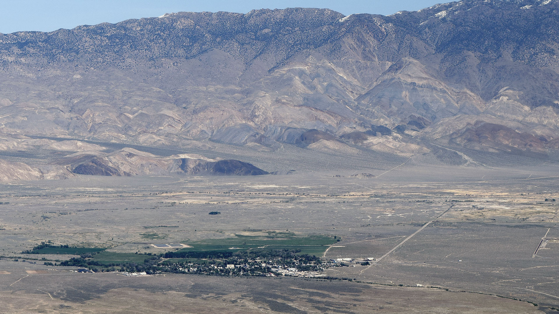
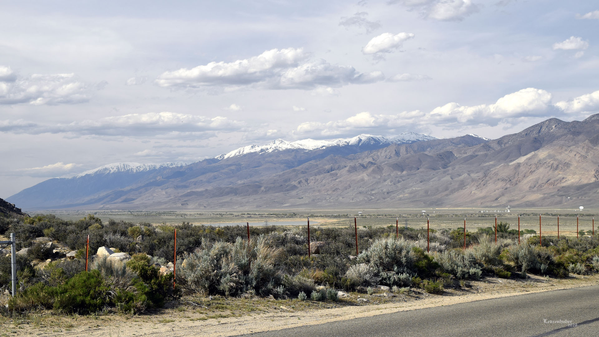
White White Mountains with Owens Valley radio telescopes |
 |
| Somebody building a new house along Big Pine Creek. (Far
horizon, left of center is bow shaped Waucoba Mountain with Squaw Peak to its
left. At 11,123' Waucoba is the highest peak in the Inyo Mountains) |
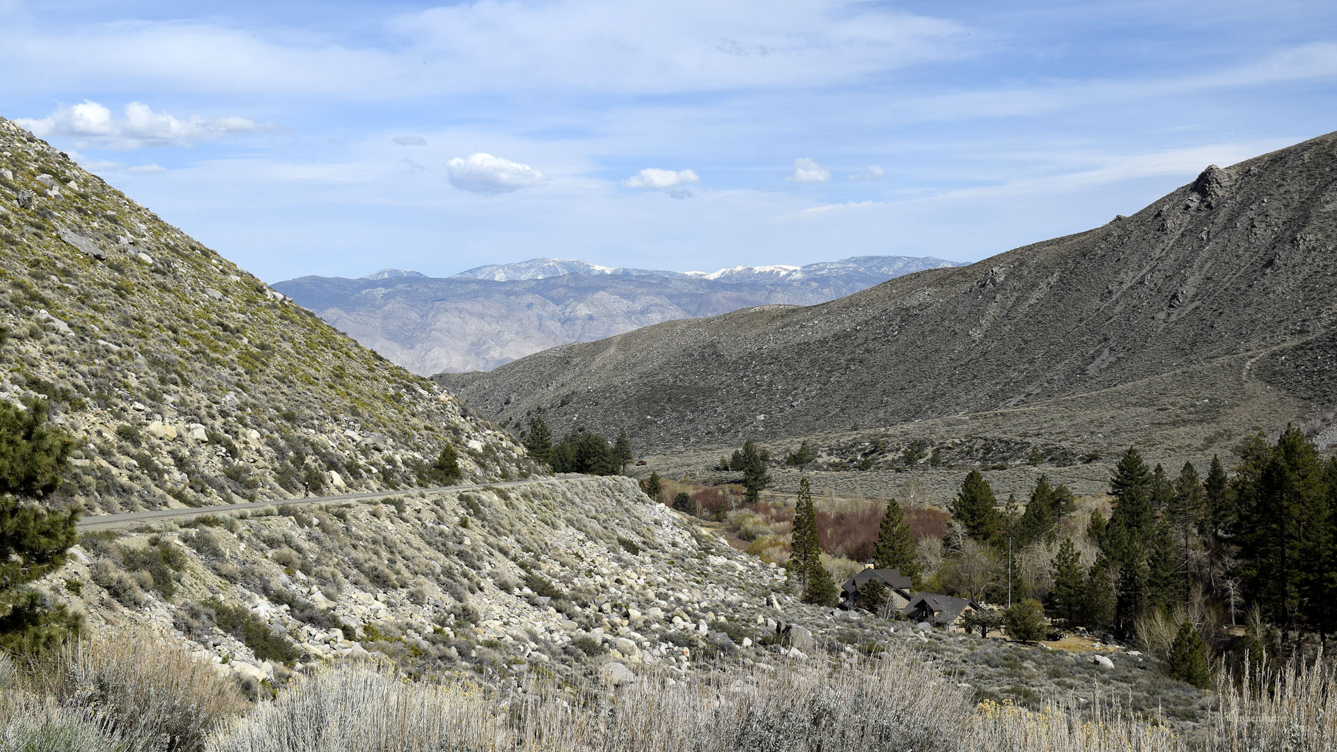
| I once had the wife drop me off at Glacier Lodge
with a bicycle. Fun road to go down. You have to save the brakes for the
hairpin turn. At 60+ mph hitting pavement might hurt. We also used
Glacier Lodge for a trailhead while climbing North Palisade, Mt Sill and
Middle Palisade. Back packed out of there at least eight times. At about
7,800' it is about 1,200' lower than Onion Valley. |
| Back to Recently |