| Back to Recently |
| Kern River Valley June
4-13 ,2019 |
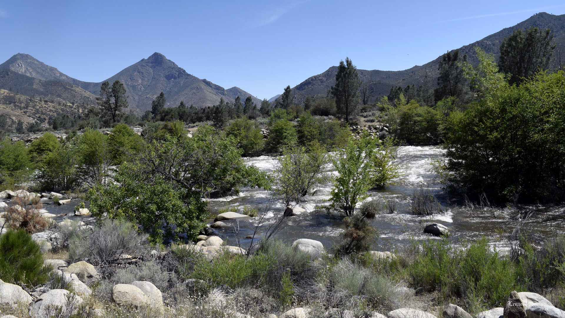 |
| Kern River above Fairview running strong with
the late spring snow melt. (rafting |
| |
| Mineral King Road |
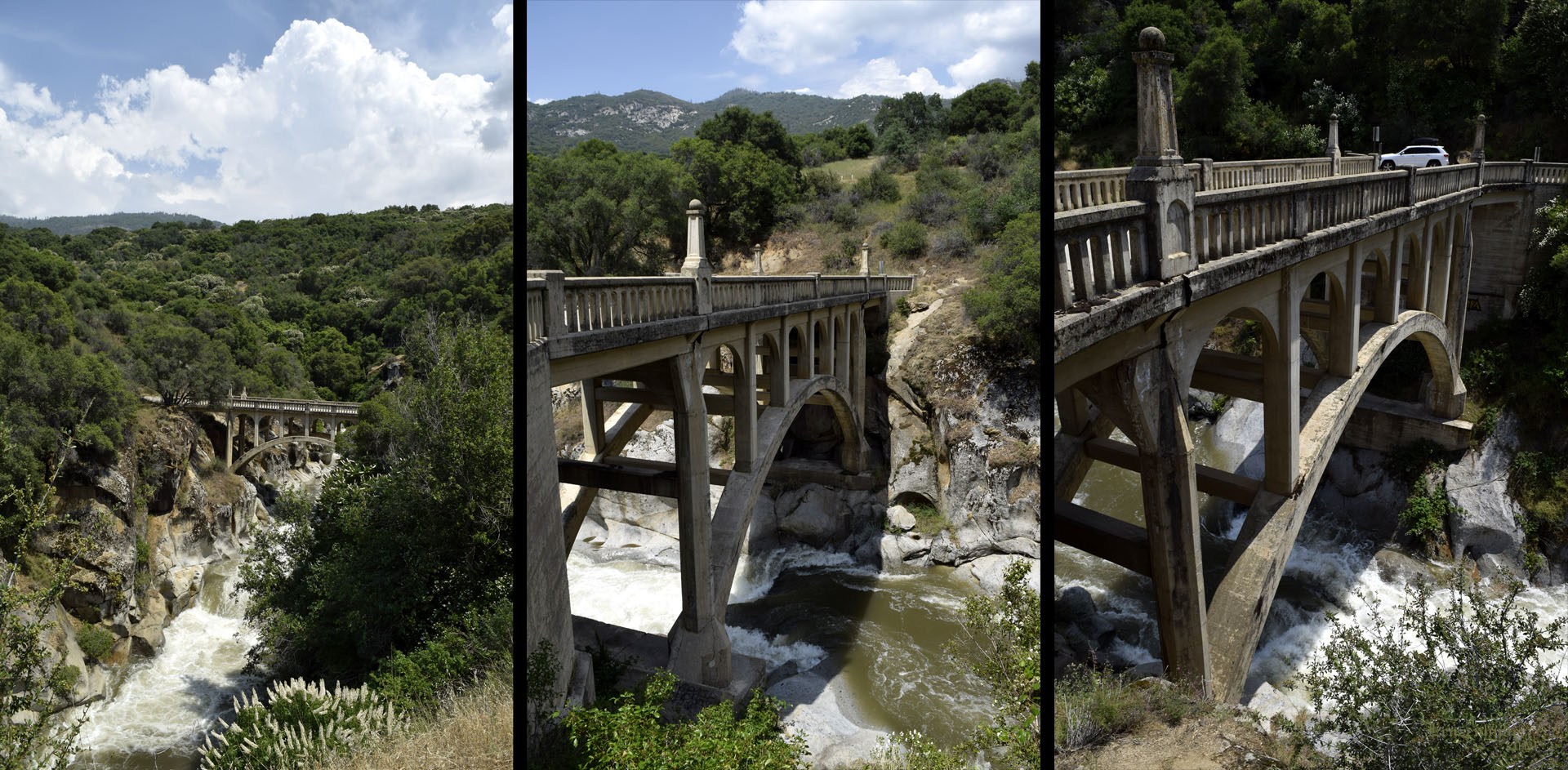 |
| 1923 bridge over the East Fork of the Kaweah
River at Oak Grove |
 |
 |
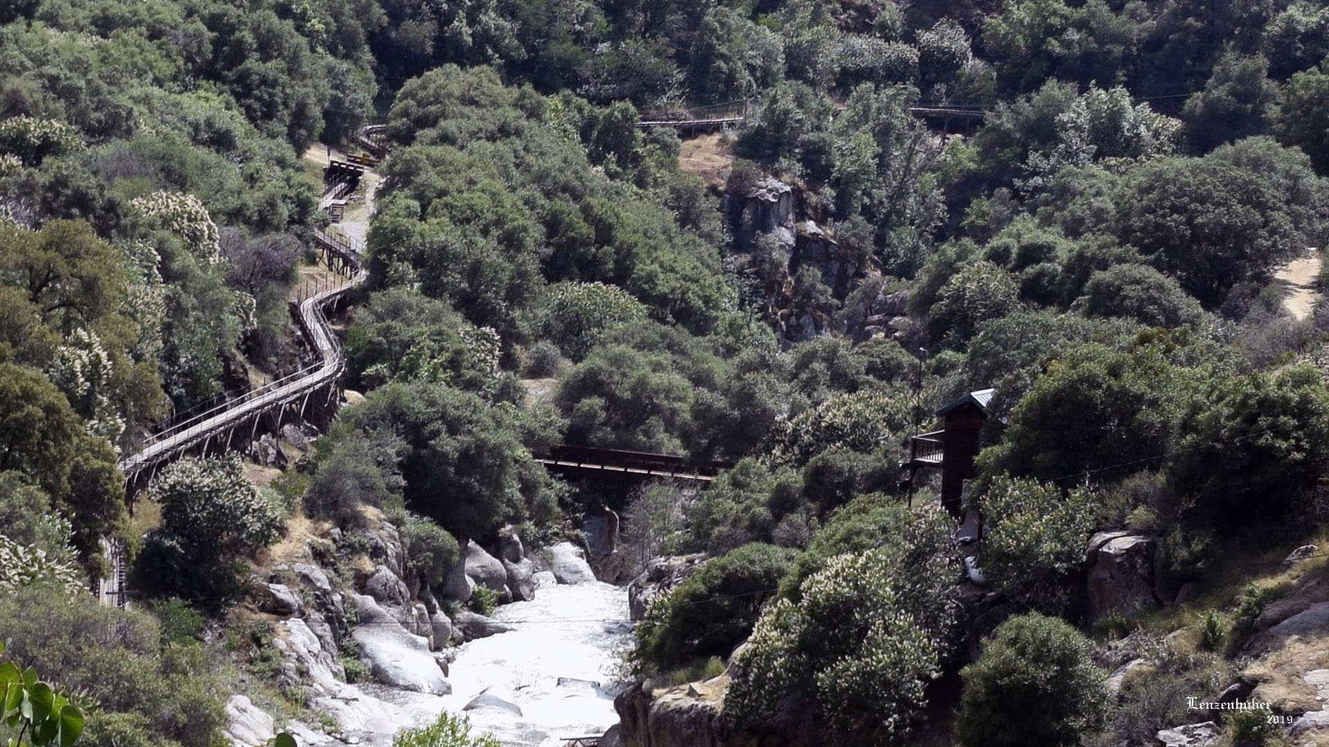
| Aqueduct along the East Fork of the Kaweah River at Oak
Grove |
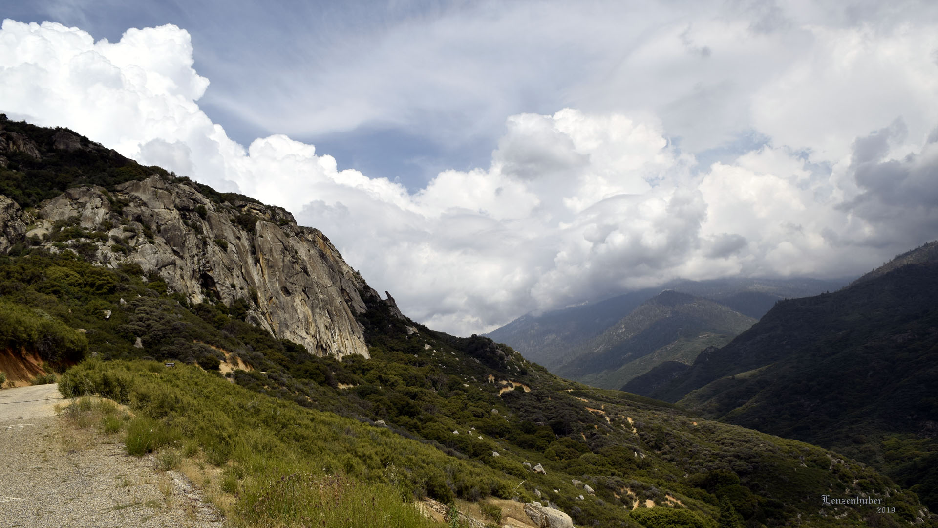
Turn back at Ranger Residence (Ominous
clouds over the higher Sierra) |
| I actually passed the Mineral King Road and
went into the Sequoia National Park. Good think I have a senior lifetime
pass or it would have cost me $35. The cutoff is before the bridge over
the river and the entrance kiosk. I expected a two lane road with a
center line. What I got was maybe a one and a half lane road at most. At
the cutoff it claimed road gated 11 miles ahead and no camping at
Mineral King. I followed the road until it turned into National Park at
an open gate and a rangers private residence, maybe 8 miles from the
start. Sign in the park said no trailers or RVs and I can see why.
I always had an idea of starting from Mineral King, going over a pass
and down the Little Kern River to the Forks of the Kern area. It would
take several days and two vehicles. I still need to get to Mineral King
someday. |
| Freeman Grove |
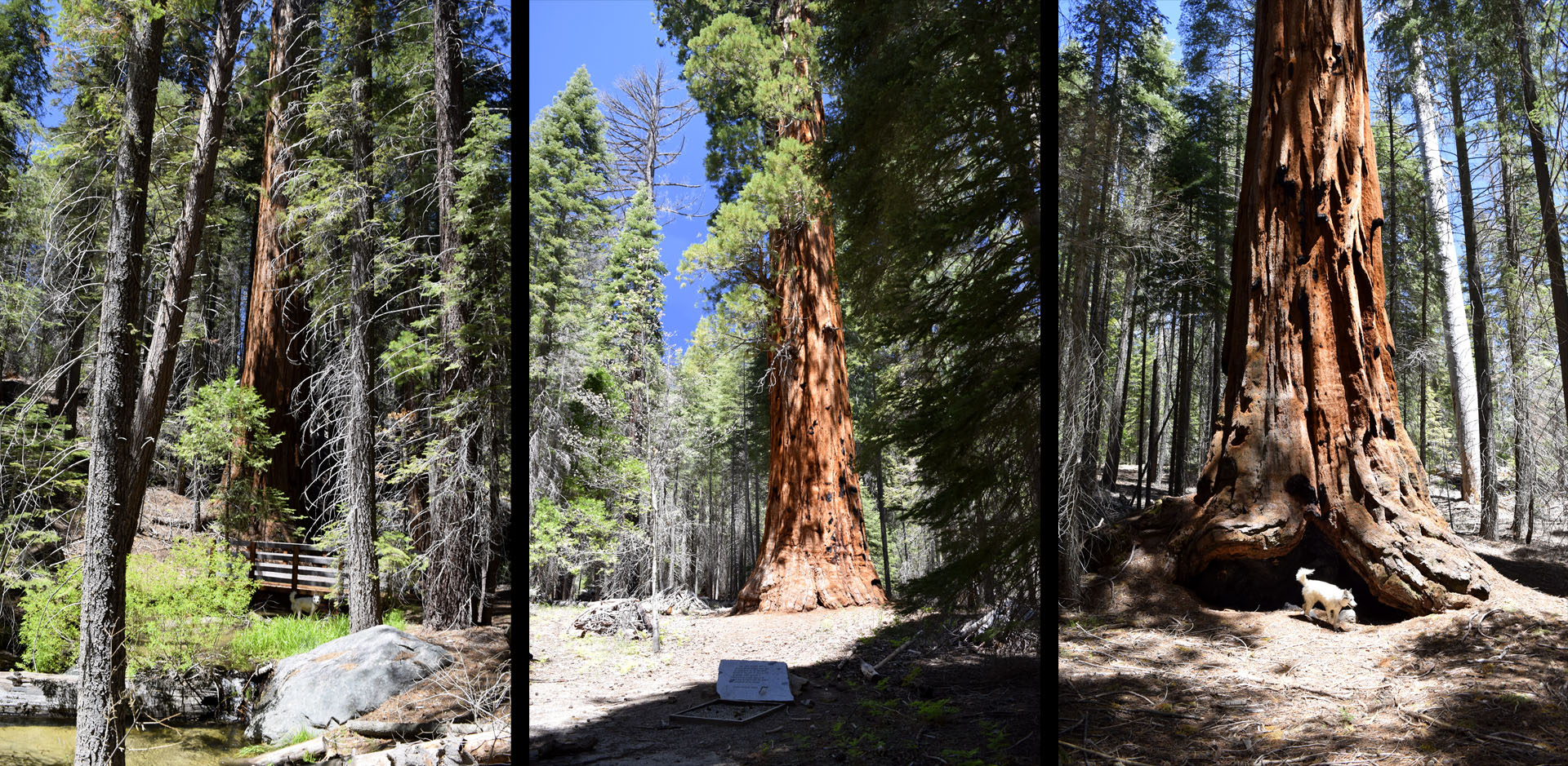 |
| Pictures can't truly capture the majesty of
the Giant Sequoia . The Freeman Grove doesn't have the largest but they
are still impressive. The only tree that is labeled is the George Bush
Tree in the main grove.. (middle picture).
I camped at the upper trailhead for the grove because the gate was
closed to get farther up the road towards the Little Kern River. Most
the people hiking down from where I camped seemed to be foreign
tourists. I told one it was about 4 miles and he asked "Round
trip". I said maybe 3 1/2 miles one way. Turned out when I hiked it
on Saturday my GPS said 3.8 miles to the George Bush Tree (The
first President George Bush). Took me an hour and
45 minutes to get down to it. Took me a little over 3 hours to hike back
up (GPS said 4 miles). From the top you un into the first of the Sequoia
after a mile or so, just before the second of three bridges along the
route. I had hiked it from the bottom up and back down years ago. I
still prefer to have the up hill part first and relax going back down to
end the hike. Morning I moved camp to up near Sherman Pass I heard a
cowgirl outside my trailer window. I then realized a cattle drive was
squeezing by my camp on the dirt road. She pretty much kept the cattle
from getting between my Jeep and the trailer. A couple hundred head of
cows, maybe a dozen mounted cowboys ( 2 of them cowgirls) and three or
four dogs. Mya just laid on the floor of the trailer like nothing was
going on so I just watched them through the window for 20 minutes or so.
Spent about a week total at the Freeman Creek trailhead. |
| |
| Sherman Pass |
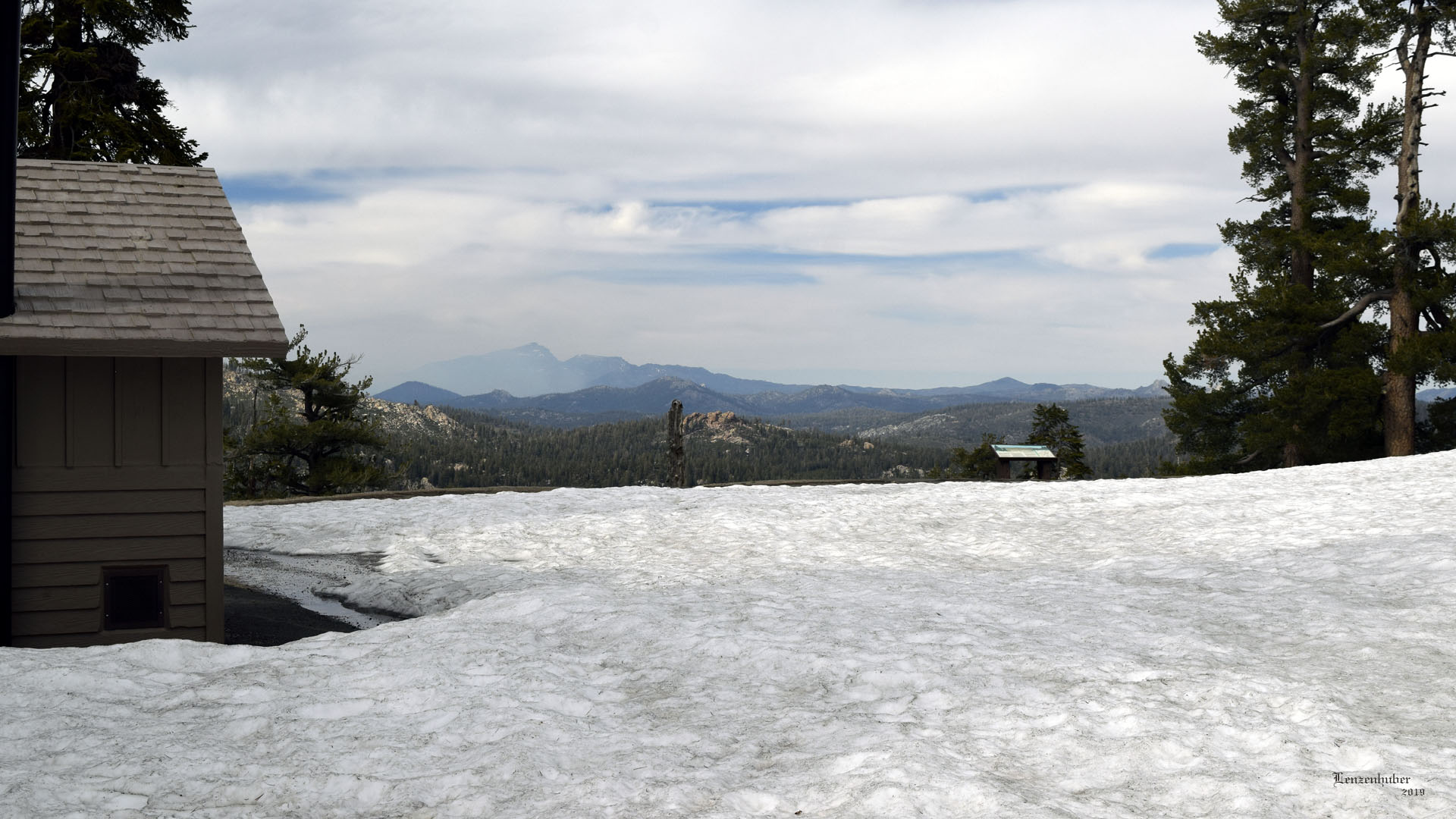 |
 |
| The left side of Olancha Peak looks smoky? |
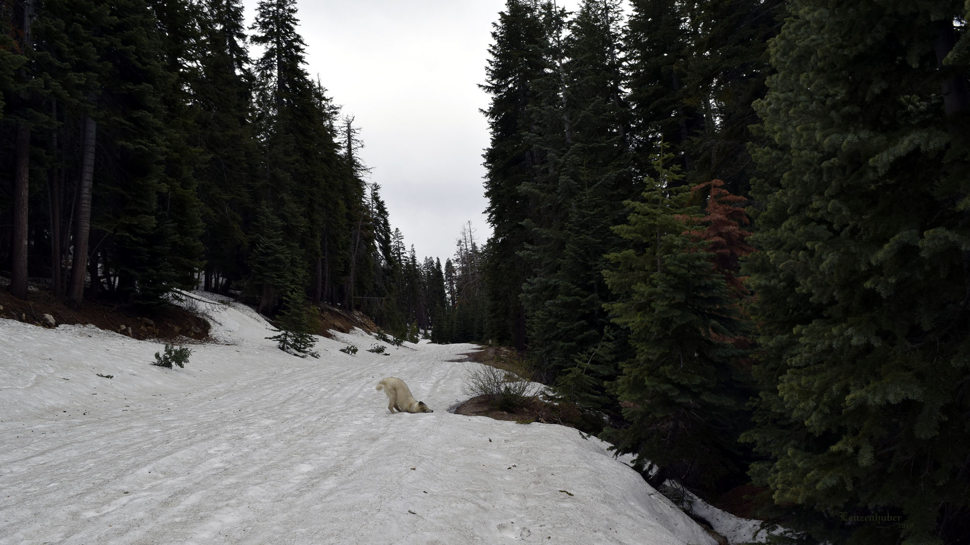
Snore Mya loves snow |
| |
| The road down by the Kern River was marked
with signs which told you "Chains Required" and "Expect
Winter Conditions" They didn't say pass closed. It was. About 1 1/2
miles from the pass there were plenty of three foot drifts across the
road. Nobody had tried them and I was towing my trailer. I found a
nearby wide spot and left the rig while I hikes about 1/2 hours to the
pass. Made camp for two nights. Had to tell many people the pass was closed. I
had to tells some I don't believe there are Big Trees on this side of
the Kern River. |
| |
 |
 |
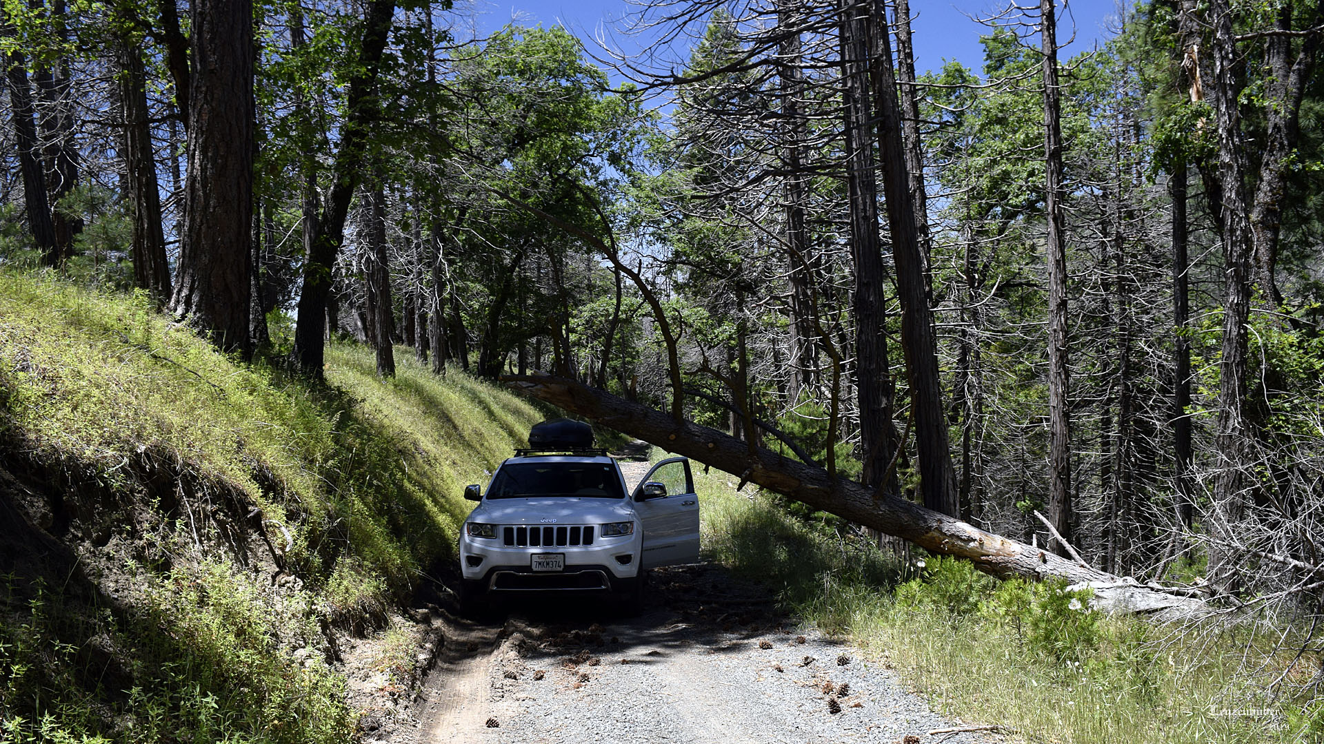
| Road to Deer Grove of Sequoia |
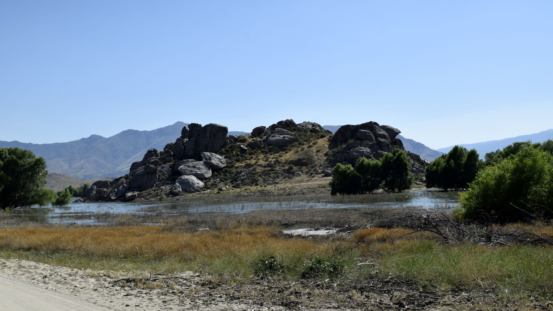
Rabbit Island at Lake Isabella |
 |
 |
| |