| Back to Recently | |
| Buttermilk Country September 13 - 22 ,2018 | |
 |
|
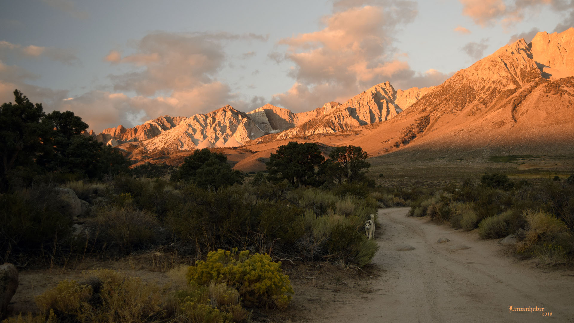
| Sunrise on Piute Pinnacles, Mt Emerson and Mt Humphrey | |
 |
 |
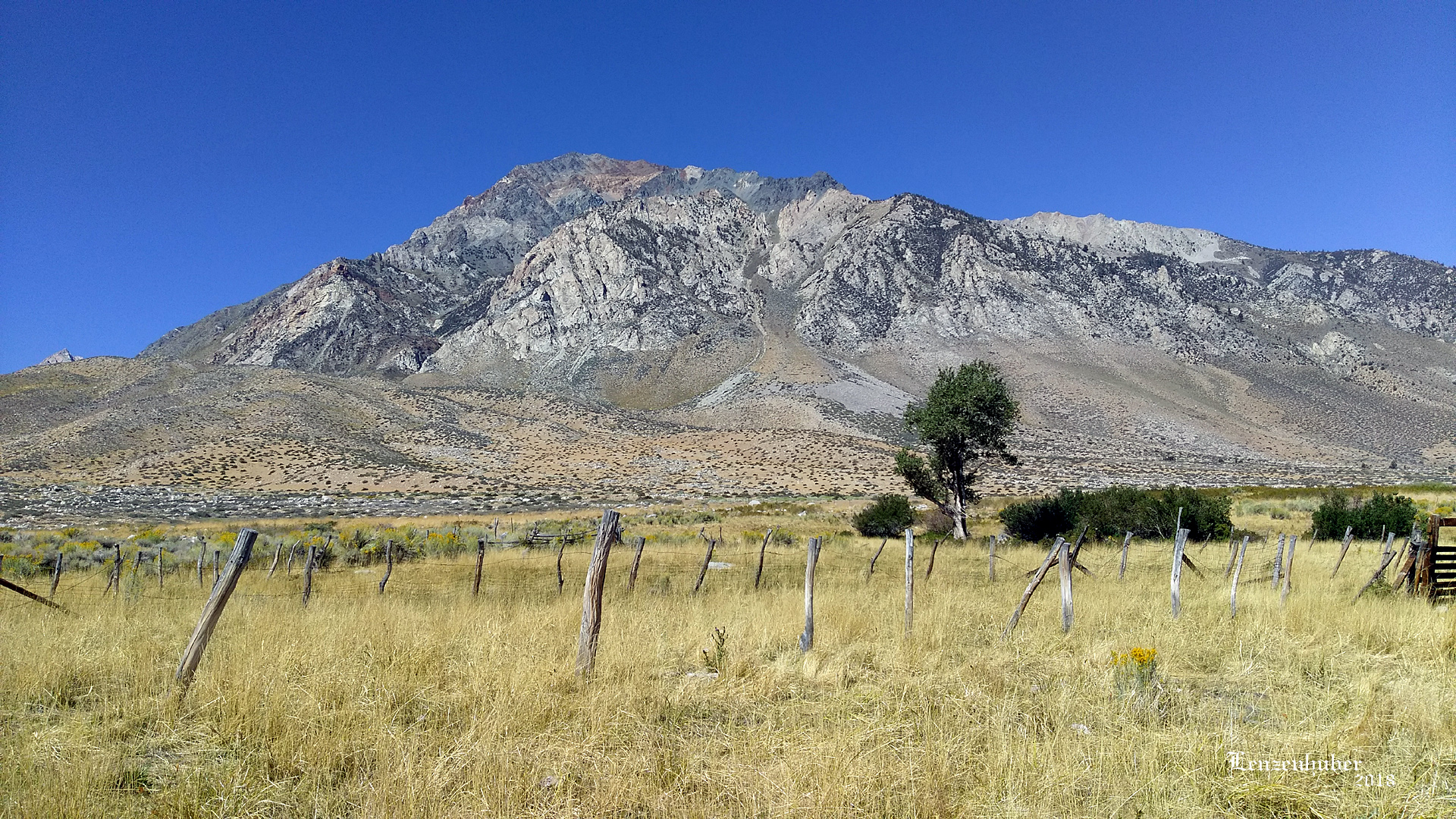
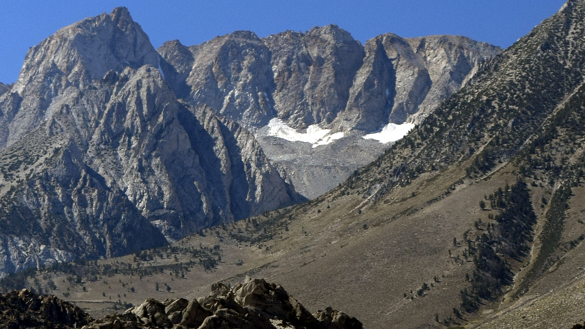
| Mt Tom from Wells Upper Meadow | White Mountain, Bishop Tuft and Grouse Mountain from McGee Lake trailhead |
 |
|
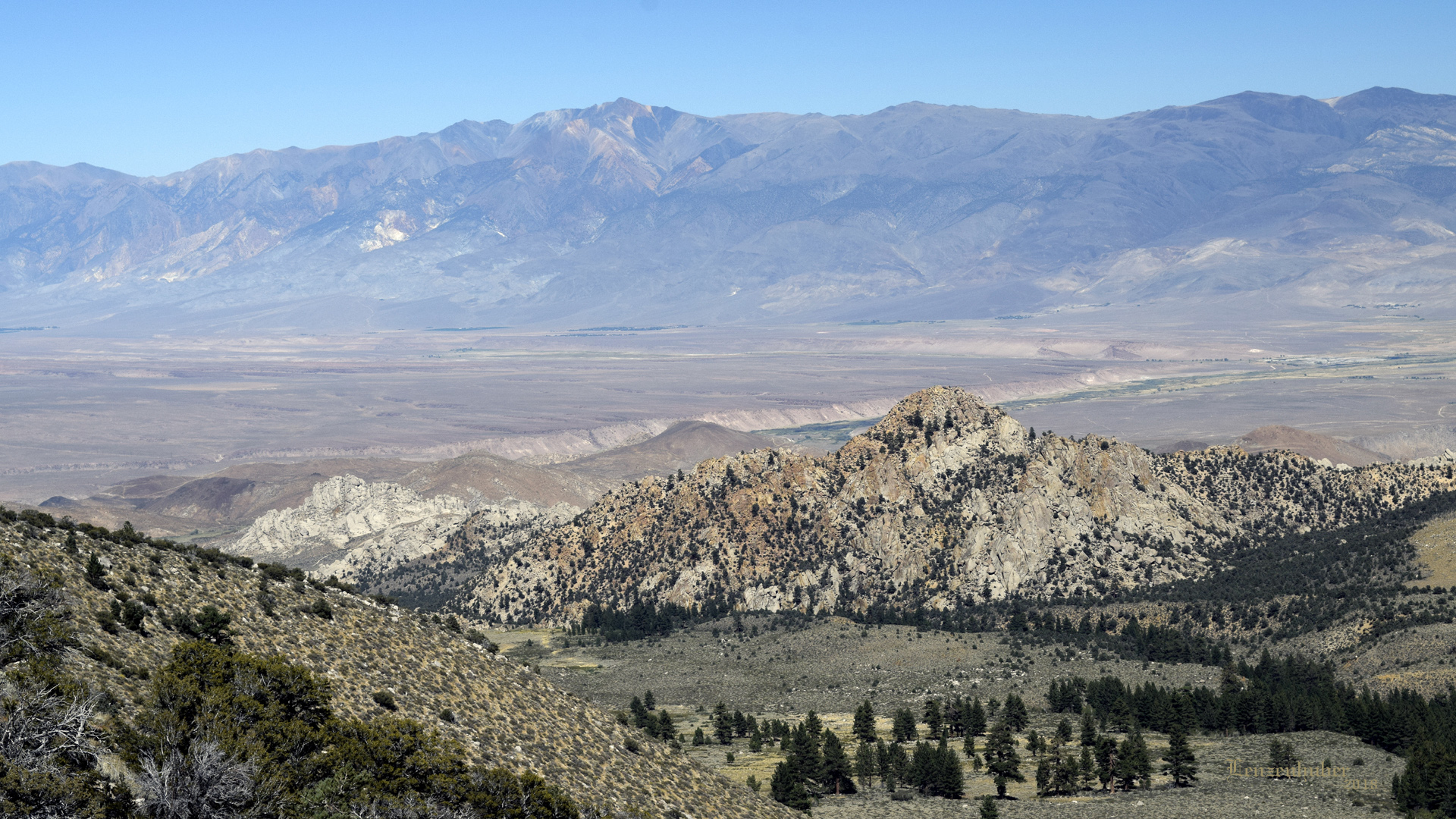
| The soft Bishop tuft being cut by the Owens River and lower Rock Creek with US 395 between them | |
 |
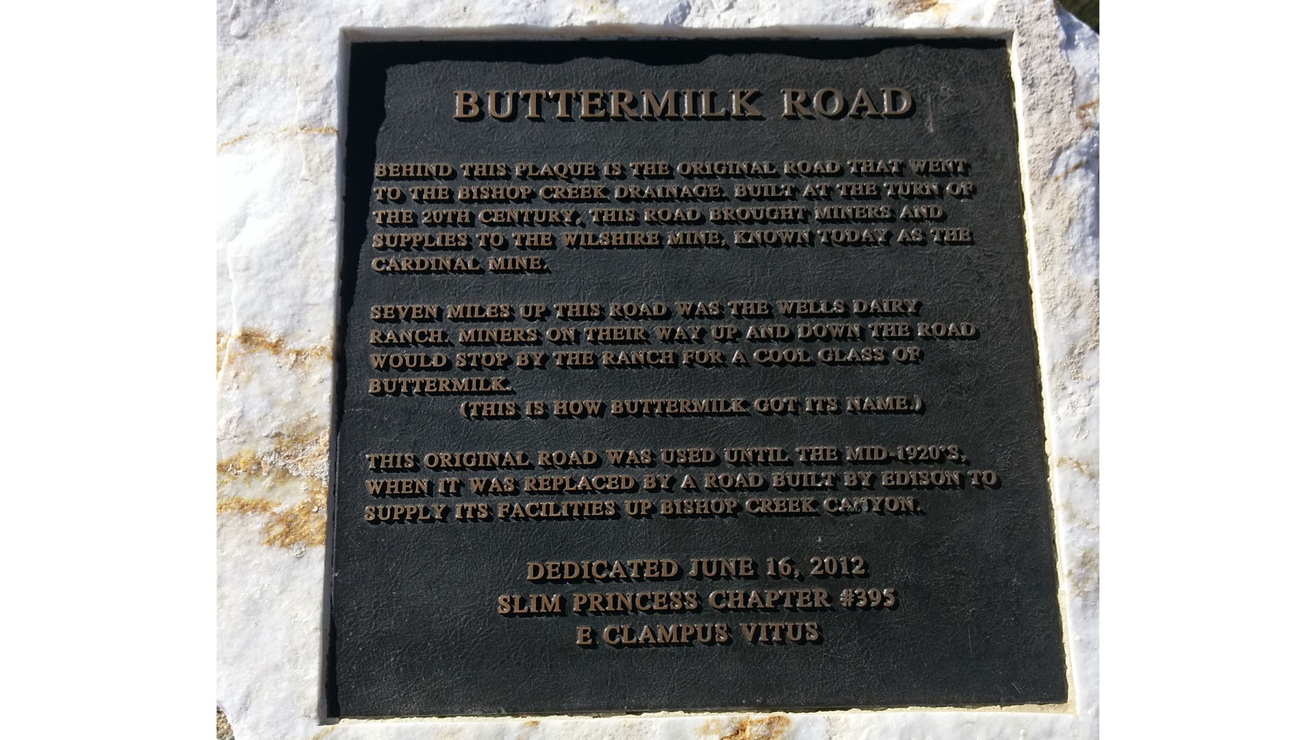 |
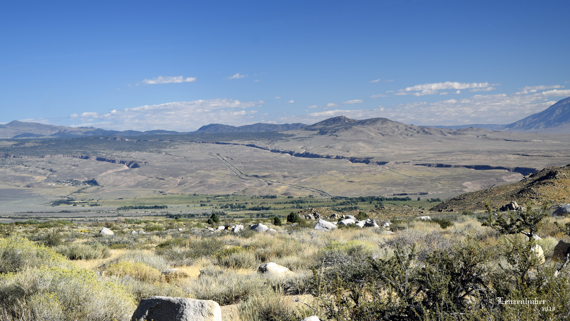
| Mt Humphrey (far left) and the McGee Lake trailhead. | How Buttermilk Country came about |
| Hiding out in Buttermilk Country waiting on a surgeon to schedule a repair on my hernia. Temperatures in the low 80s during the day and high 40s at night. Found the trailhead for McGee Lake at about 9,100' but didn't have a day pack with me on the trip. Taking short hikes of two miles or so around the camp area. Went back to Ridgecrest Tuesday afternoon for a Wednesday appointment with Dr Stemmer. The date is October 4th. Brought a day pack back to do a little more serious hiking. | |
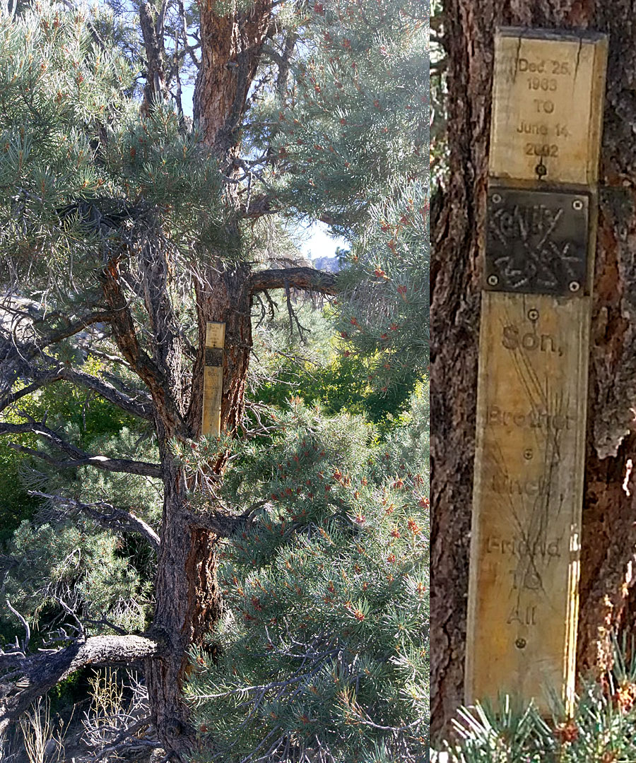 |
McGee Creek was proving to be hard to cross in the area of my camp. I hiked a mile up the creek but it was pretty much the same all along the way. I also checked down the creek to no avail. I finally brought a saw and pruners down to clear a crossing through the dense mountain mahogany which choked the creek bed. Near where I created a crossing I found this wooden testament on a tree. Not sure if it has been there since the death in 2002. Doesn't seem weathered enough for 16 years. The tree is in the middle of nowhere.
|
| Longley Reservoir hike | |
 |
|
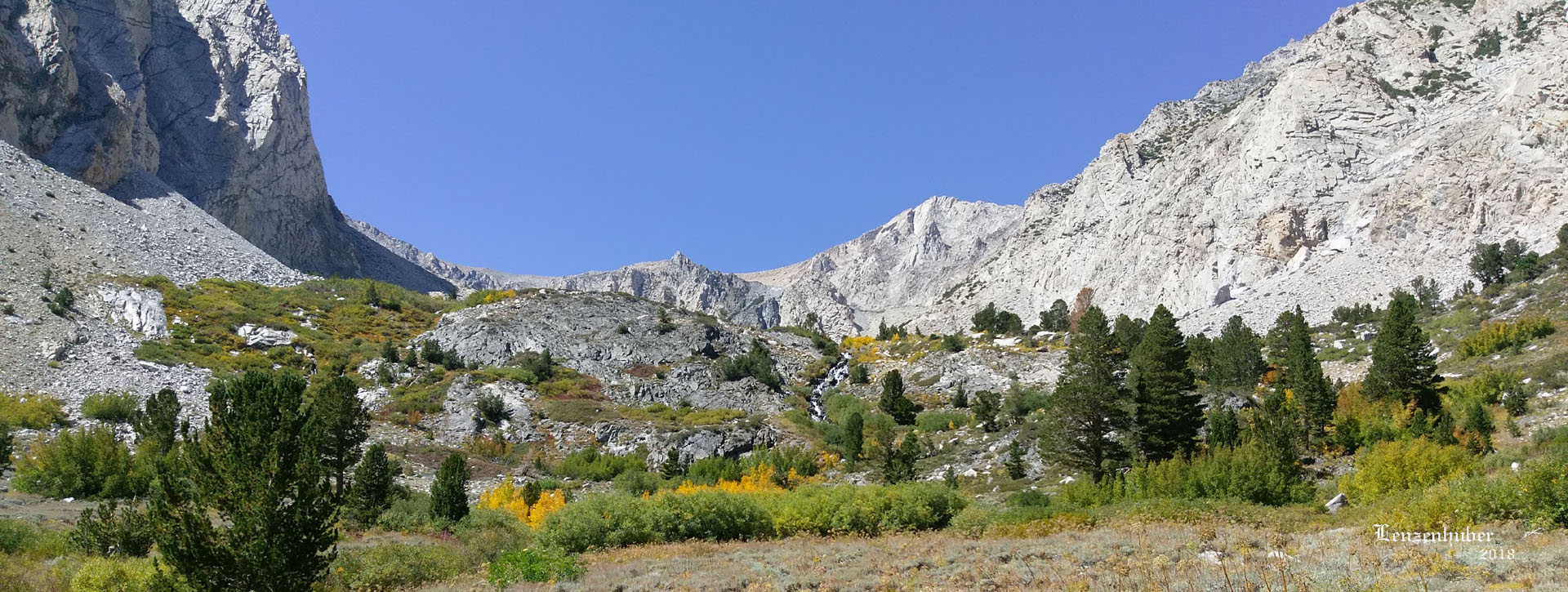
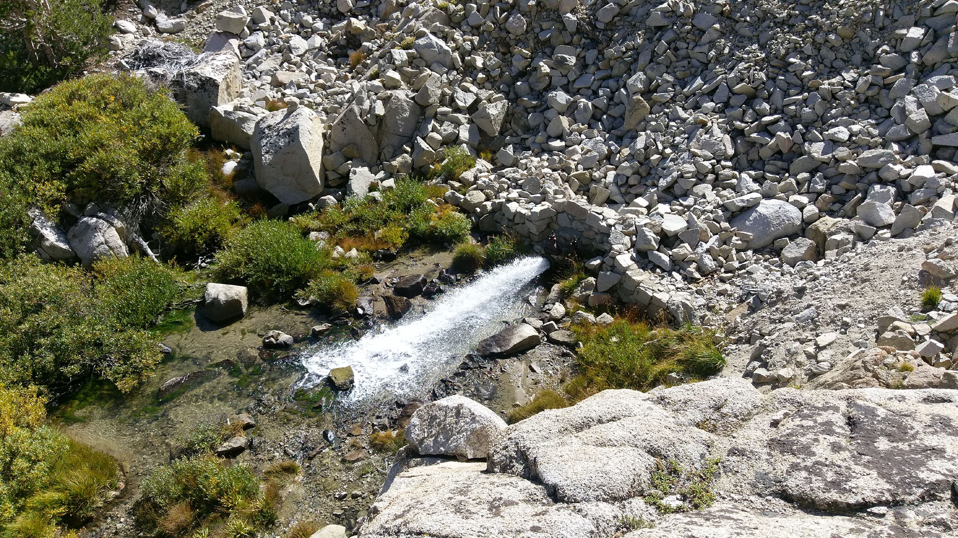
| McGee Creek cascade down from Longley Reservoir which is still a ways up past the evident ridge. | |
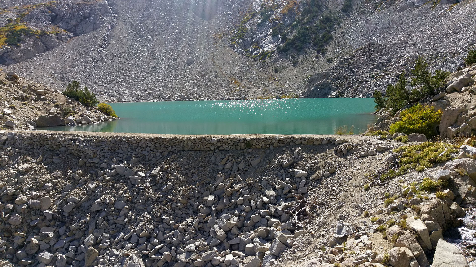
| I decided to hike the 2.6 miles from the trailhead to Longley Reservoir. I had taken the Grand Cherokee to the trailhead earlier to check out the road conditions. It took me almost four hours to gain the 1,600 feet in elevation. My lungs were the main slow point on the way up. My tricky right knee on the way down. The knee was already bad before the recent bicycle injury. The heart seems fine. It took about two hours to get back down. The reservoir was disappointing in that you could not see the large snow field on the face of Mount Humphrey because of the huge moraine pile blocking the view. That and it is a barren lake with nothing much around it but scree and boulders. The little pond nearby had some vegetation around it and I could see intermittent rings in the water even from my perch near the lake. The trail was easy to follow and I never lost it in either direction. There were rare footprints on it beside mine. Someone who hikes the way I used to. Going that way the heck with a trail. (Older and wiser people take the trail, it is usually easier) | |
 |
 |
| On one topographical map resolution it is called McGee Lake. On another Longley Reservoir. It is definitely man made or expanded from a much smaller lake. | |
 |
 |
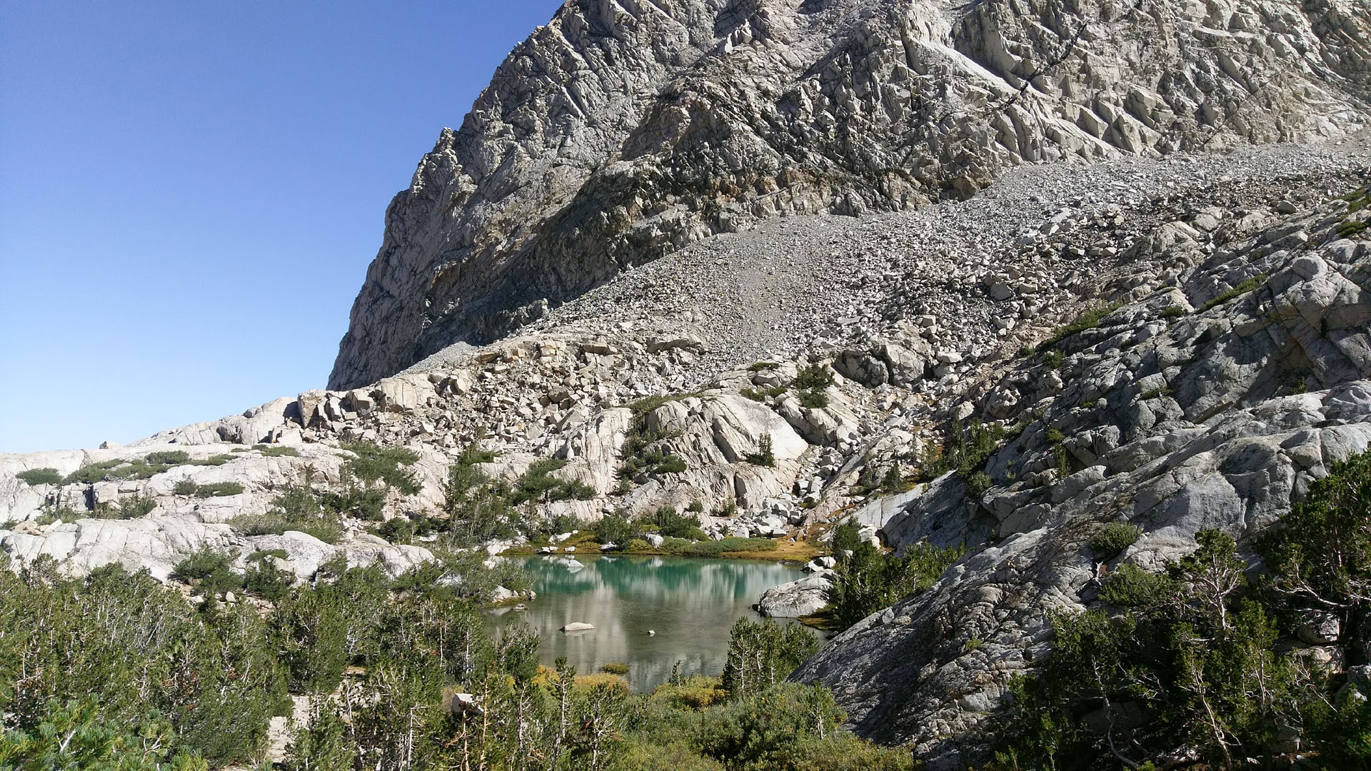
| The little pond just below the dam is Lenzenhuber Pond (Any feature not labeled on map gets my label) | McGee Lake (Longley Reservoir) is in the bowl |
 |
|
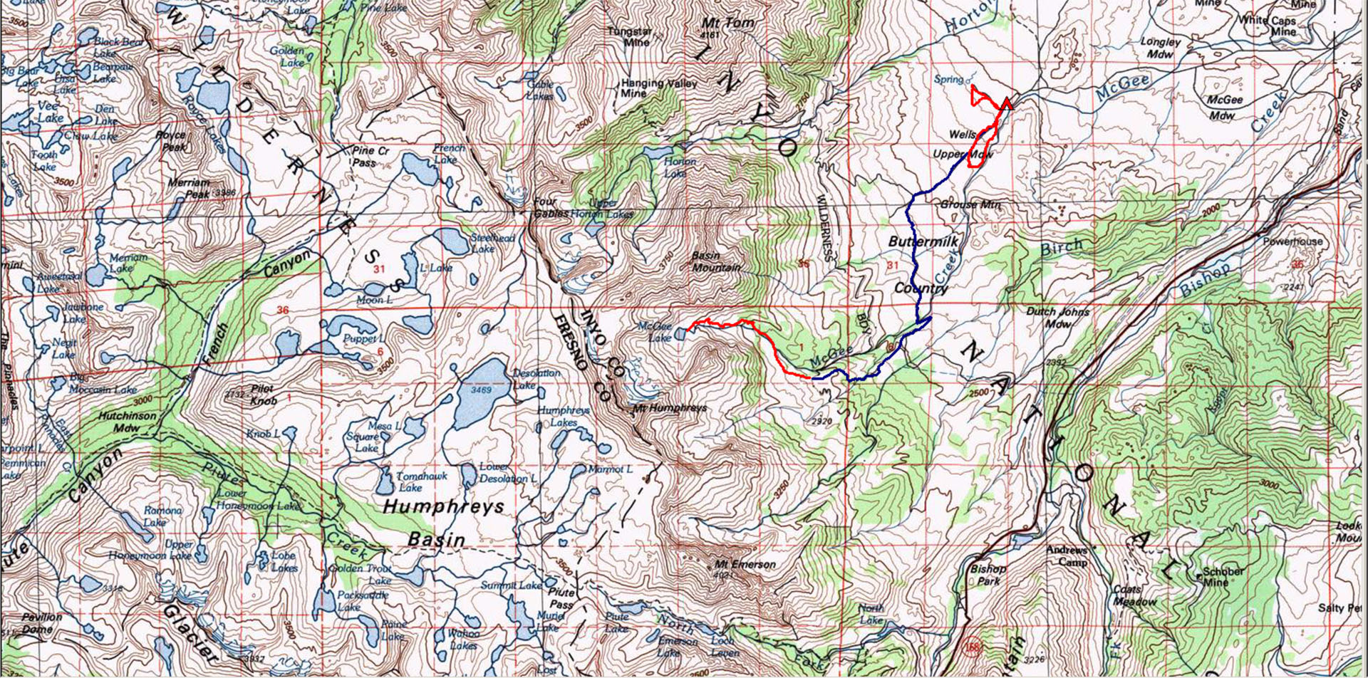
| Blue is 4 wheeling, Red is hiking | |
| Back to Recently | |