| Back to
recently |
| Bay Area Loop August 28 -
September 5, 2018 |
| Virginia Lakes Road Area |
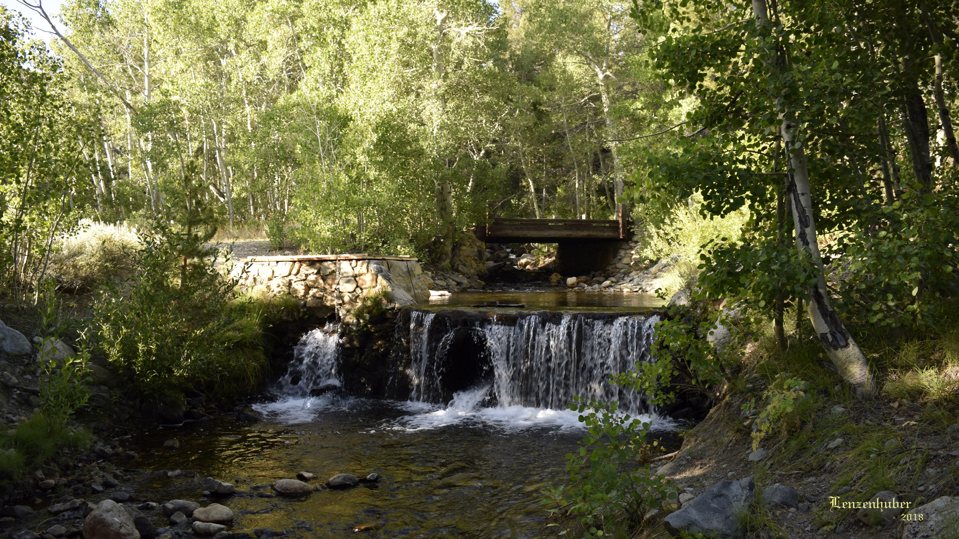 |
| Virginia Creek |
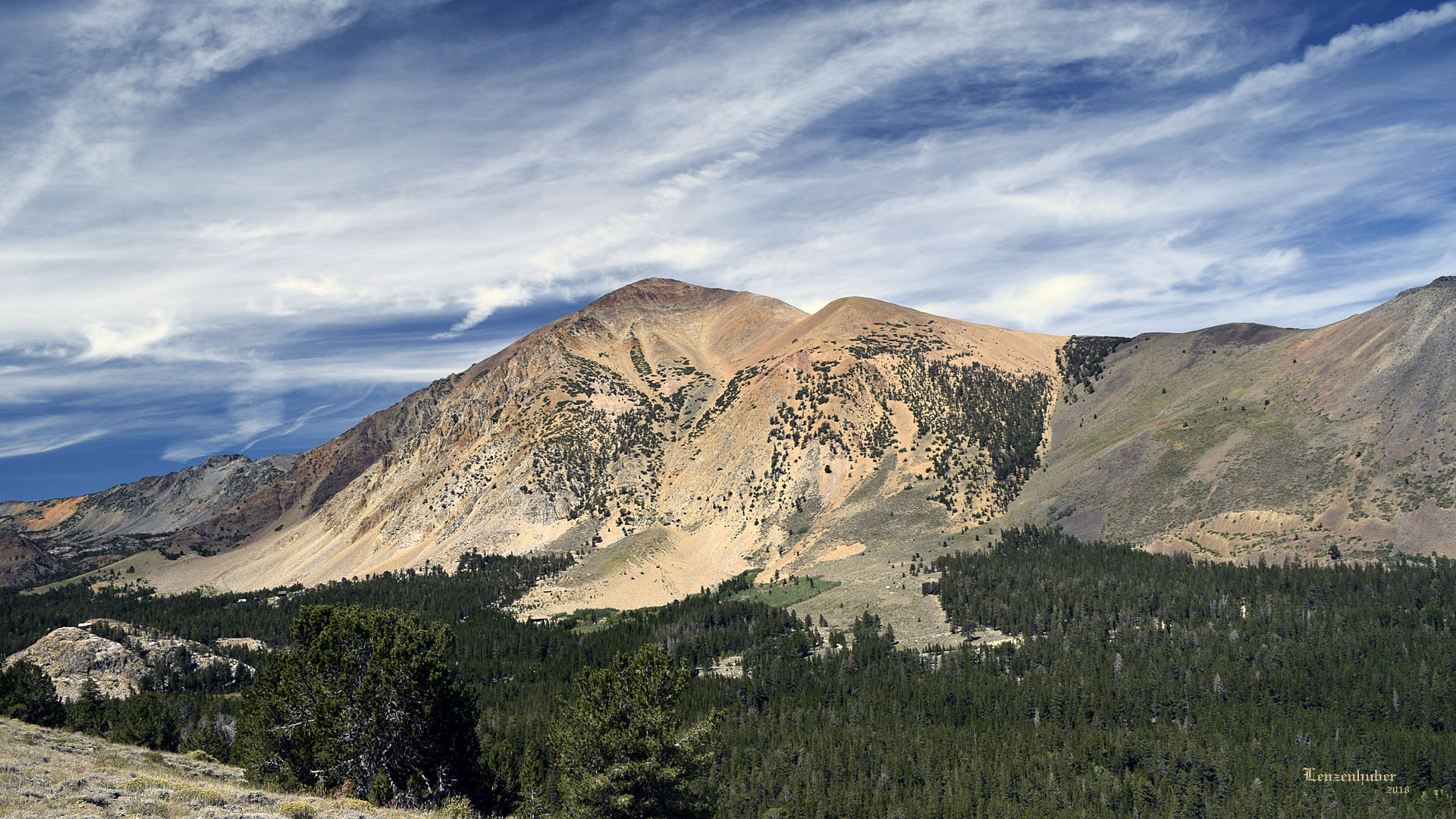 |
| Dunderberg Peak overlooking the
Virginia Lakes area |
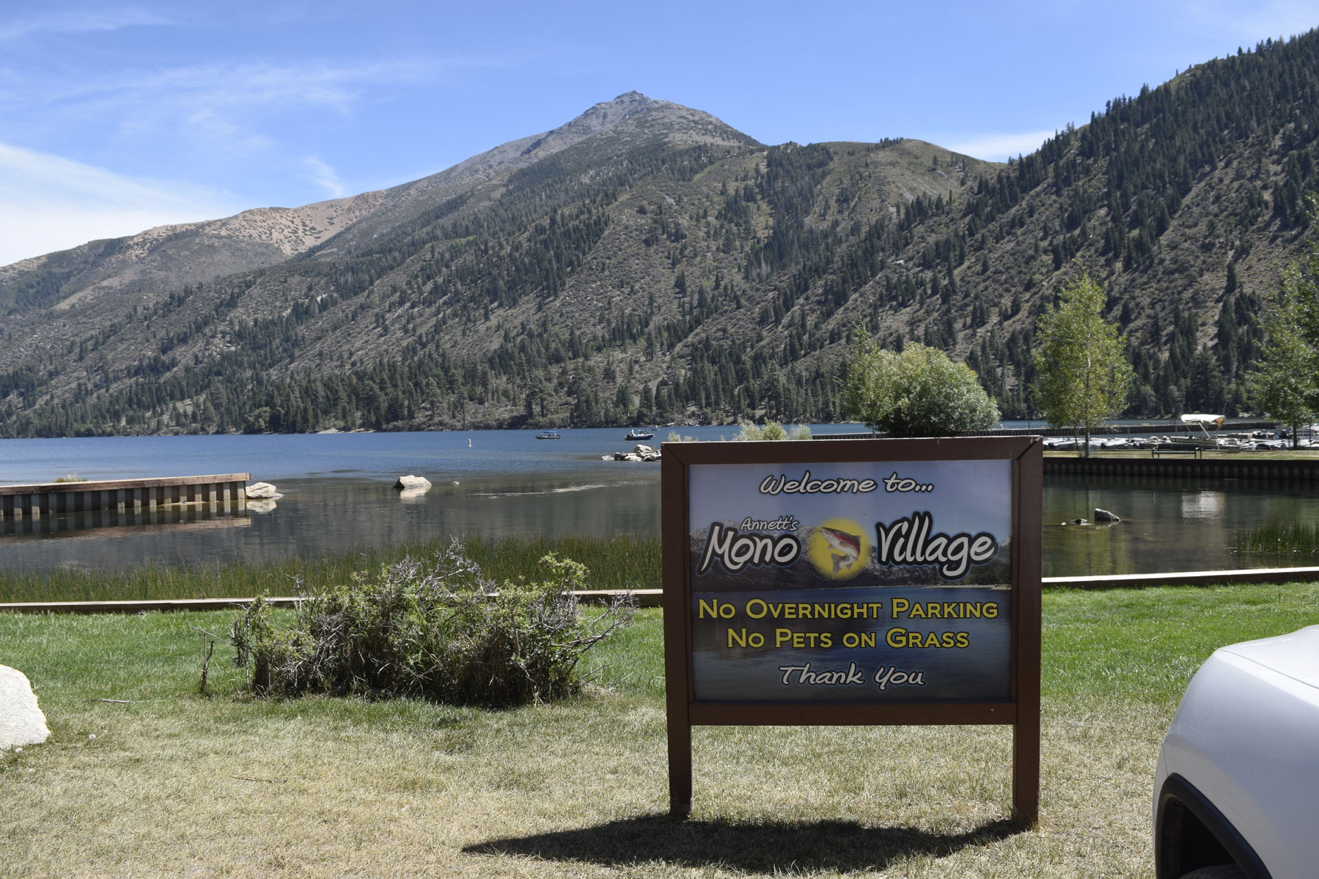
| Twin Lakes |
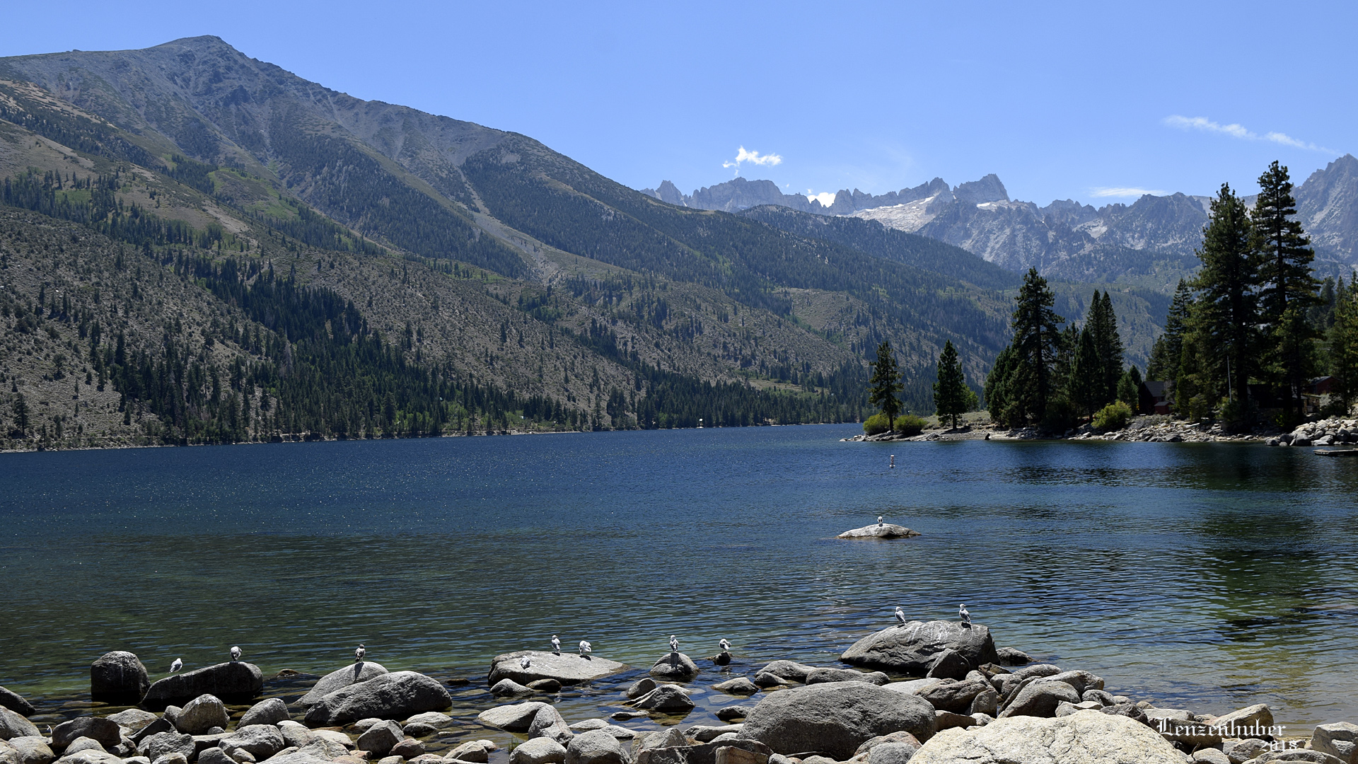 |
| Lower Twin Lake |
 |
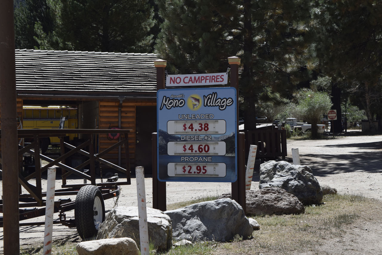 |
| Gas and diesel were over 60
cents a gallon cheaper at the end of Twin Lakes Road than back at the
Shell in Bridgeport. |
| Sonora Pass Area |
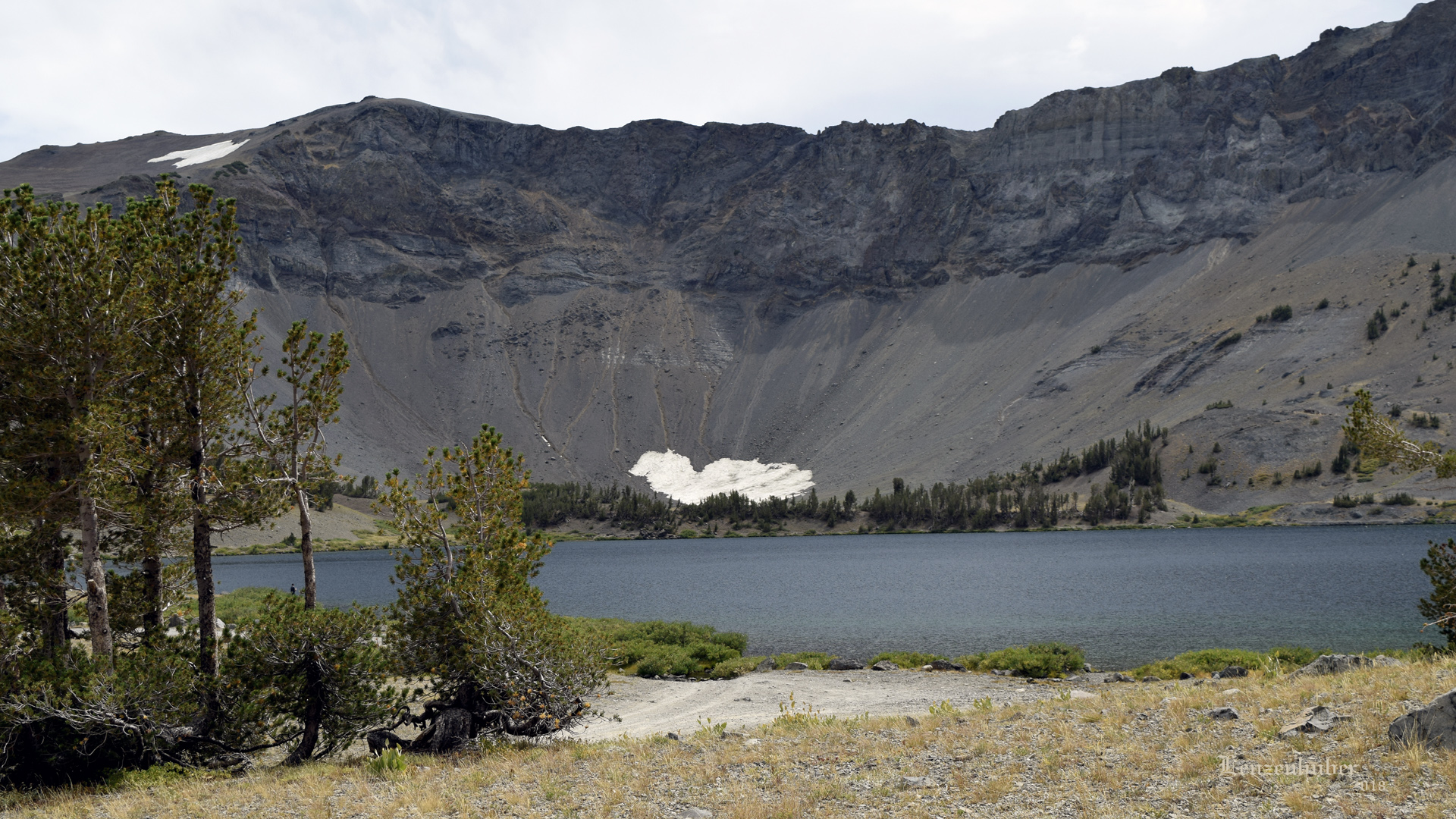 |
| Leavitt Lake |
 |
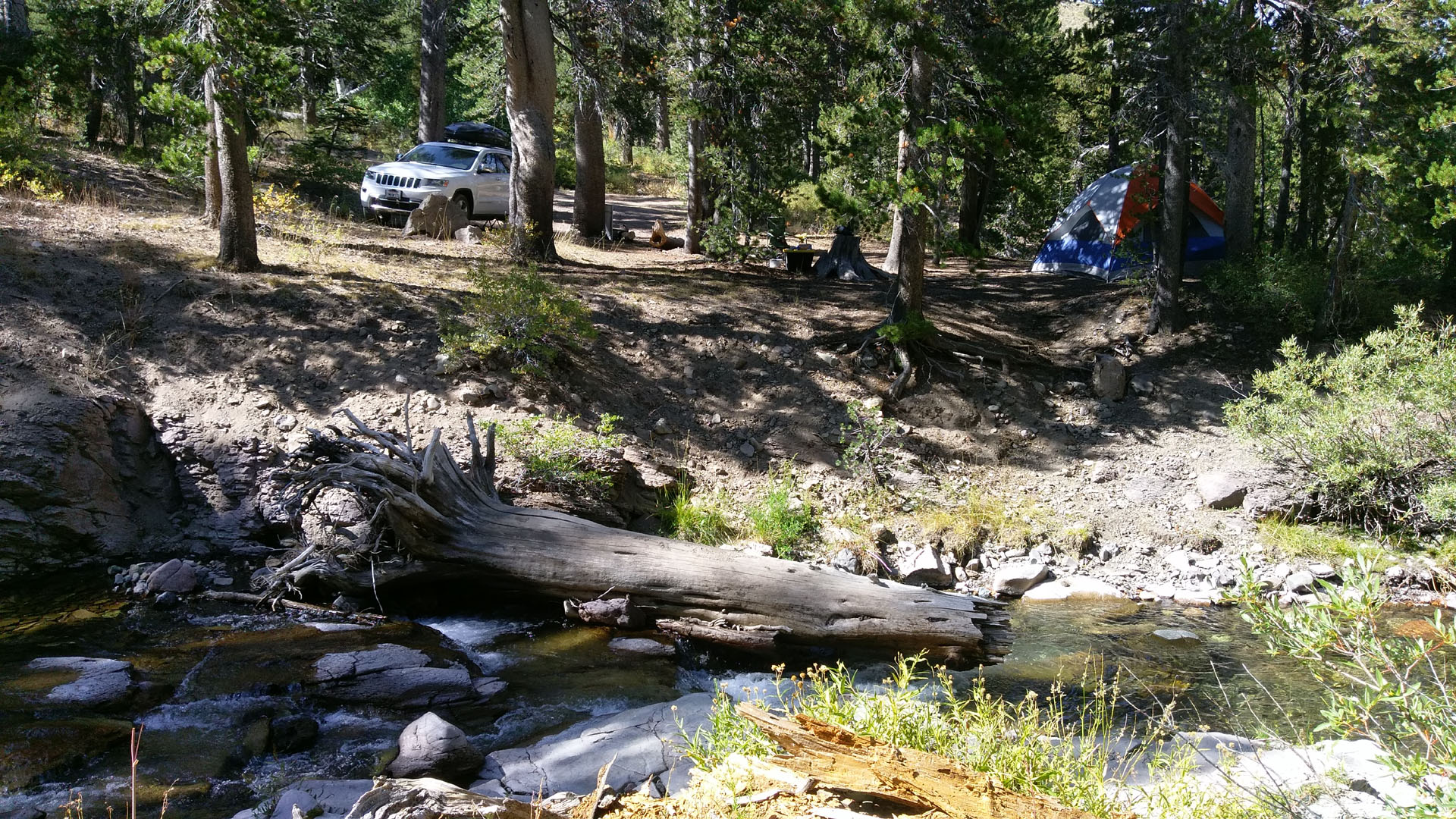 |
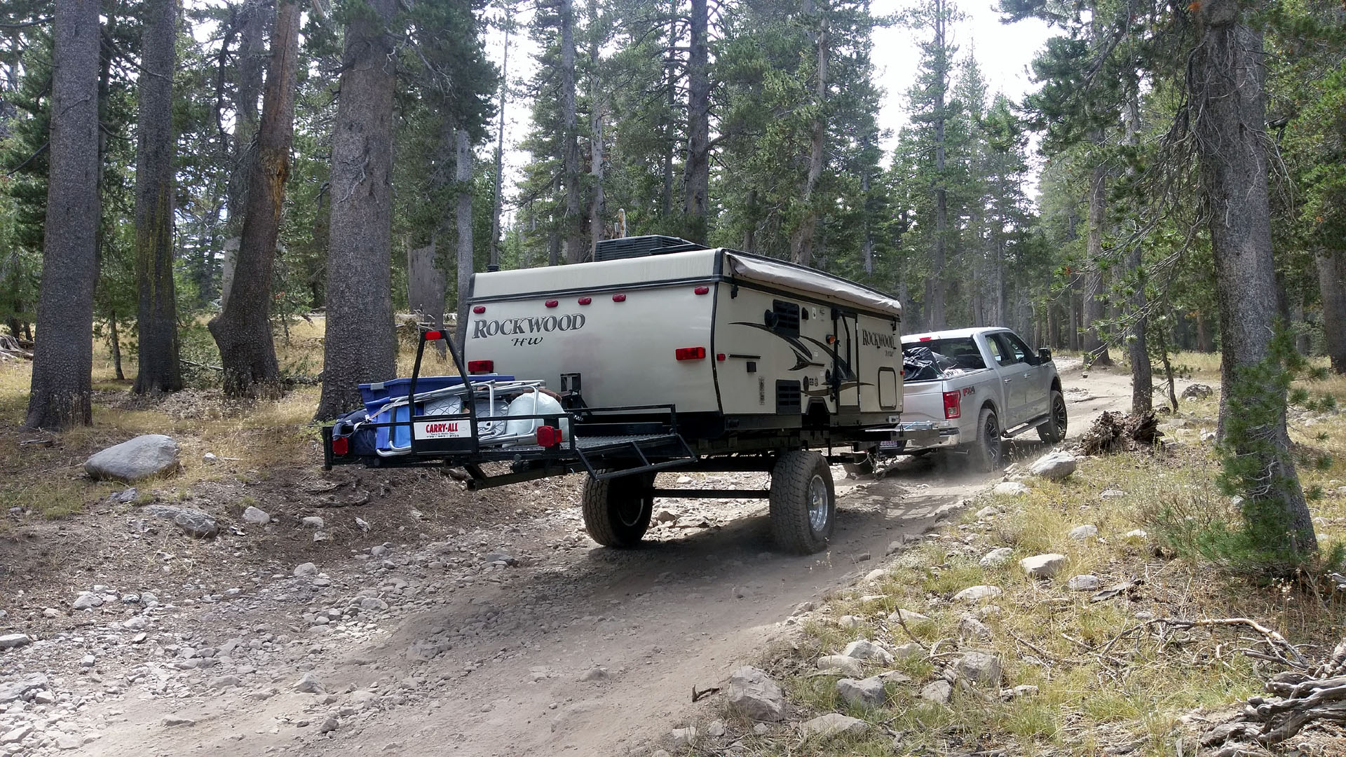
| An off road trailer for sure |
Camp along Leavitt Creek |
| Took a four hour hike from my camp to
Leavitt Lake. About two plus miles and a thousand feet above camp.
The lake is about 9,300 feet in elevation still lower than Sonora Pass. |
| Donnell Fire |
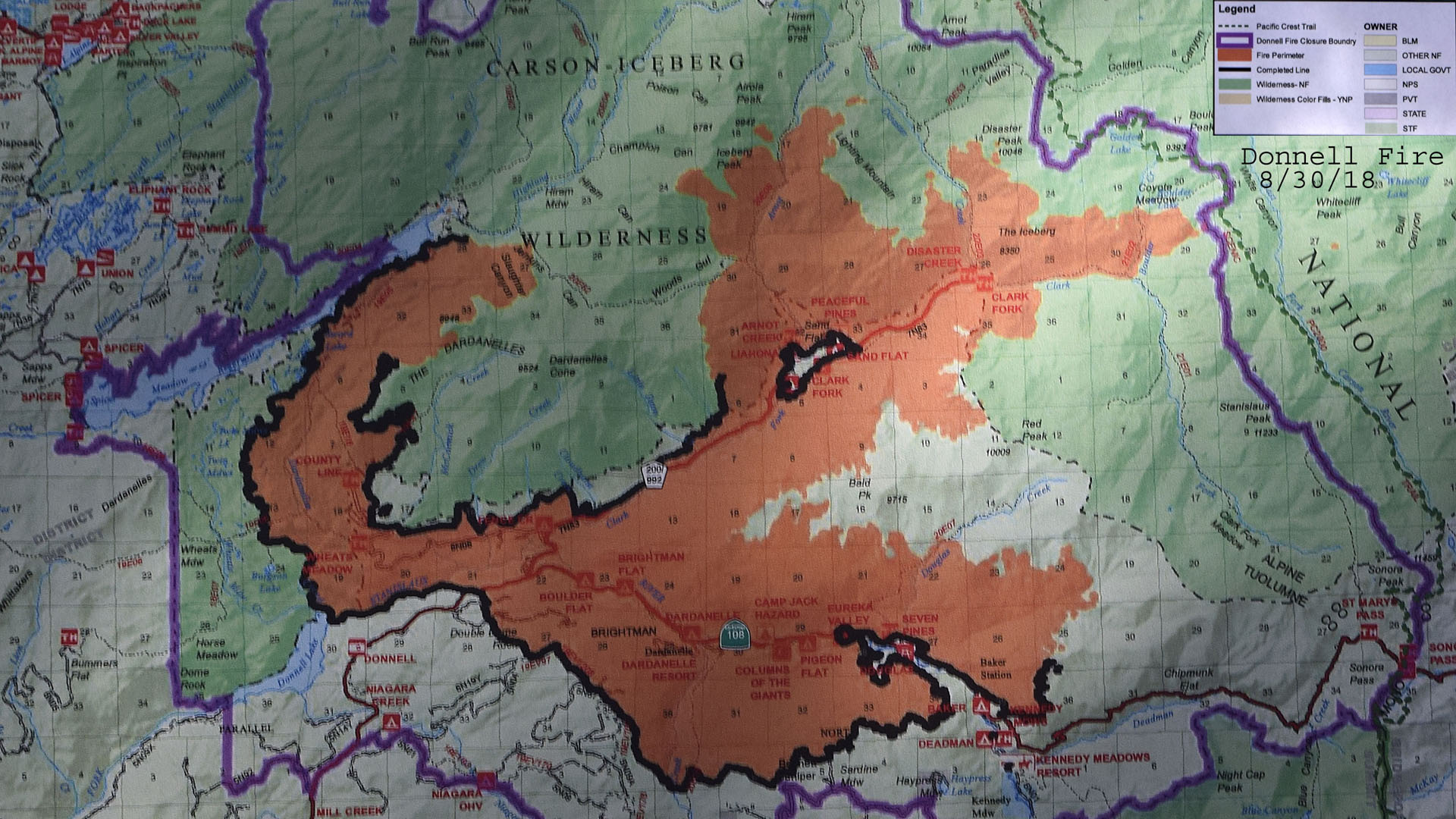 |
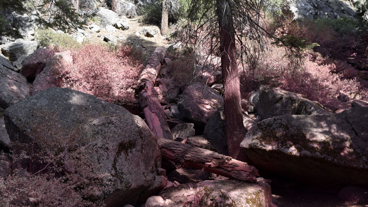 |
| Fire Map (32,000 acres from August 2-30) |
Fire retardant around the Kennedy Meadows area |
| I picked up a
hitch hiker at Bridgeport who had gone to town for supplies. He was from
eastern Washington and had been hiking the Pacific Crest Trail from Dunsmuir
in Northern California. He had to abandon the trail at Ebbetts Pass
because of the Donnell Fire had closed the PCT. I gave him a ride to
Sonora Pass. The closure boundary for the fire barely touched the PCT according
to the map. When I first went down to check out the Kennedy Meadows area
on Wednesday there was a little smoke on the northern ridge of the
mountains. Going down to Pinecrest on Friday for supplies I could see
the extent of the damage. It had burnt both sides of the road and came
close in many places to taking out buildings especially around
Dardanelle. I don't think the road has been open for that long. When I
punched in Barry's Hospital in San Leandro my car told me to go back to
US395 and take 4 over Ebbetts Pass to get there. I've leaned that
closures on the system are not that current and the thing often
has me avoiding accidents that are cleaned up and no longer a problem.. |
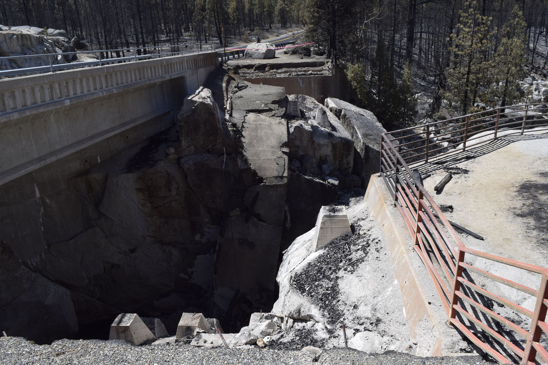 |
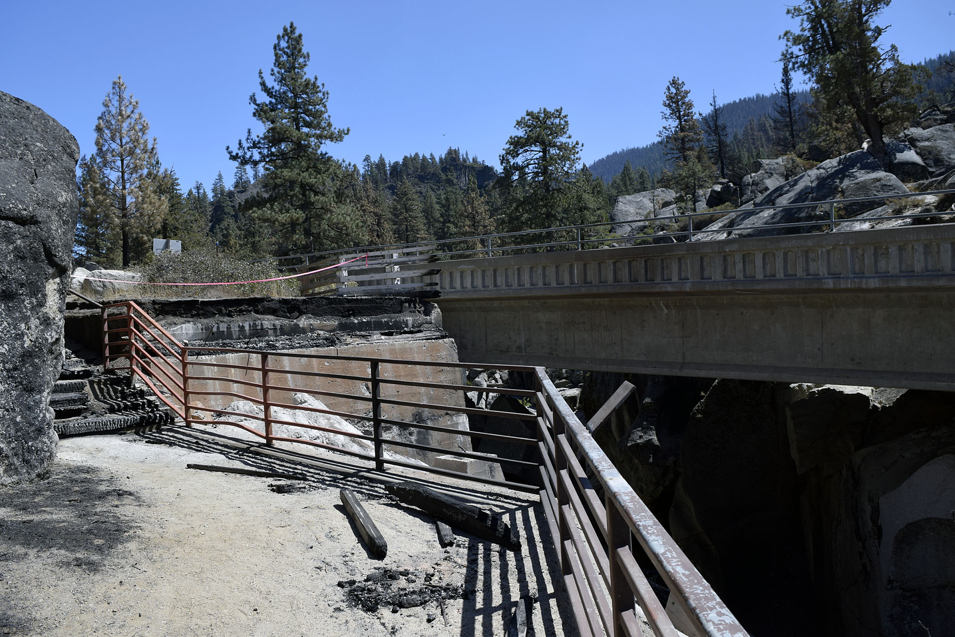 |
| A burnt and collapsed pedestrian bridge over
the Middle Fork of the Stanislaus River on hwy108 burnt in the Donnell
Fire |
 |
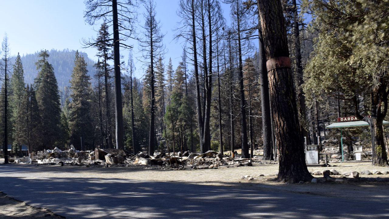 |
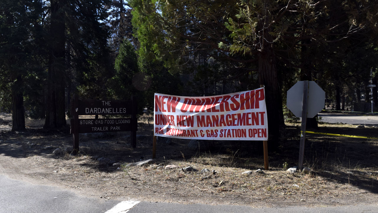
| An unlucky new owner. At least the gas pumps
are still standing |
| Thursday going west from Sonora Pass there
was a sign that said no stopping or parking next 9 miles. Friday the
same electronic billboard said 17 miles. Coming the other direction up
from Pinecrest the sign said 15 miles. All the side roads and
campgrounds in the area were closed for the Labor Day Holiday weekend
because of the Donnell Fire which had burnt 32,000 acres in the month of
August. The Kennedy Meadows resort area was open but much too busy for
me even without the dog. Fire fighters were using some of the area but
there were still plenty of openings in the Baker Campground. I
considered $10 a night for seniors but decided to camp for free on
Leavitt Creek on the west side of the pass. |
| Bay Area |
| Not much to say except there seems to be a
permanent traffic jam around Emeryville to Berkley. Spent a couple days
in Vallejo and visiting a hospitalized friend Barry in San Leandro. Left
Vallejo via a visit to another hospitalized friend Christy in Napa. Then
over to Lake Berryessa on to Winters in the Sacramento
Valley and up to Chico to visit a grand kid Brenndon for his 21st
birthday. (a few days early on the birthday) |
| Chico |
 |
 |
 |
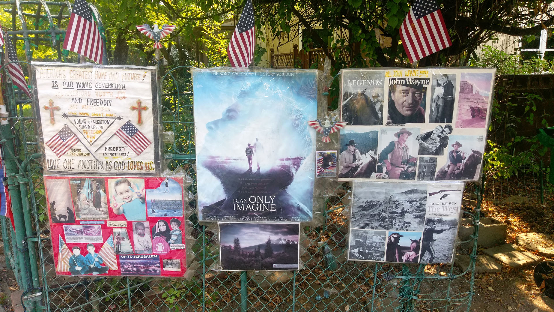 |
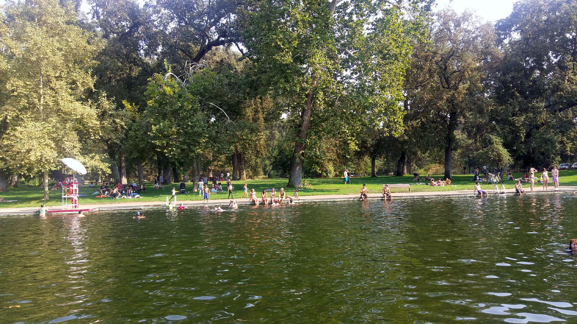
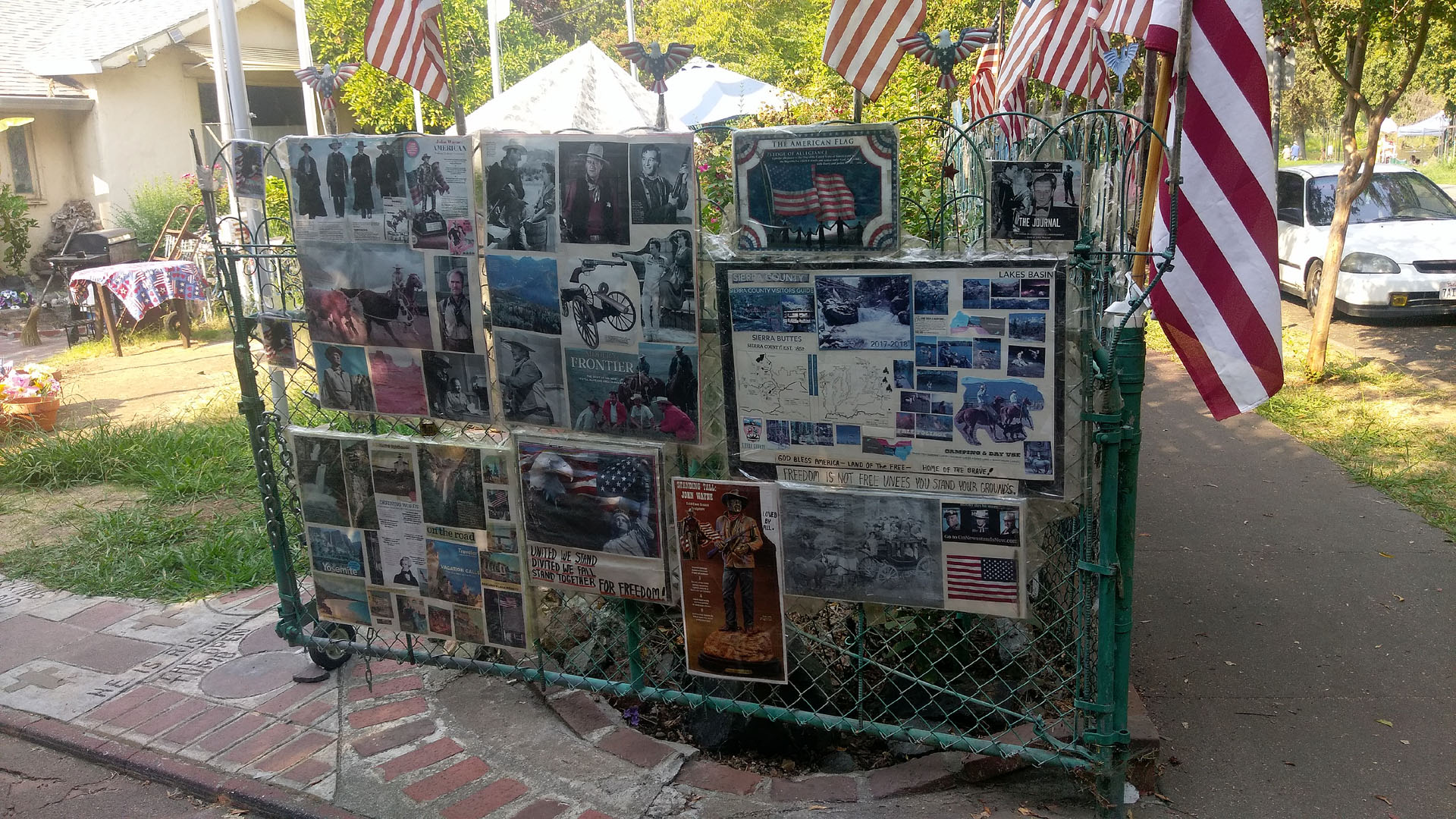
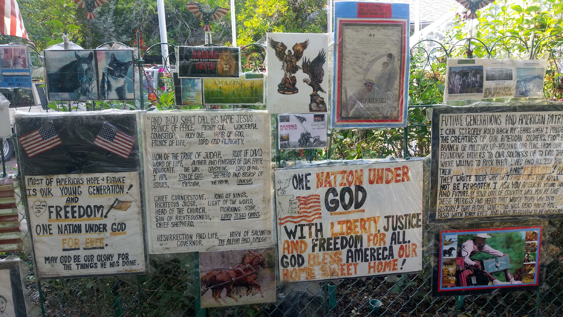
| Part of a large fence display in front of a
home across the street from a river swimming hole in Bidwell Park in
Chico. |
| Feather River route |
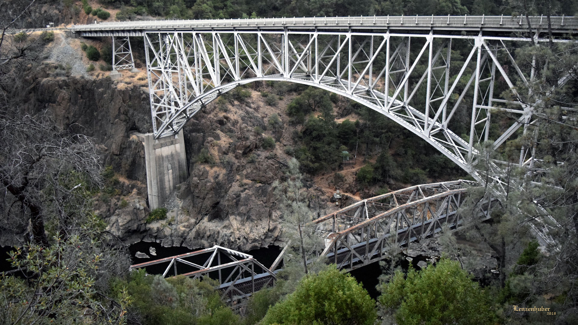 |
| Some railroad and highway steel along the
Feather River |
| Walker |
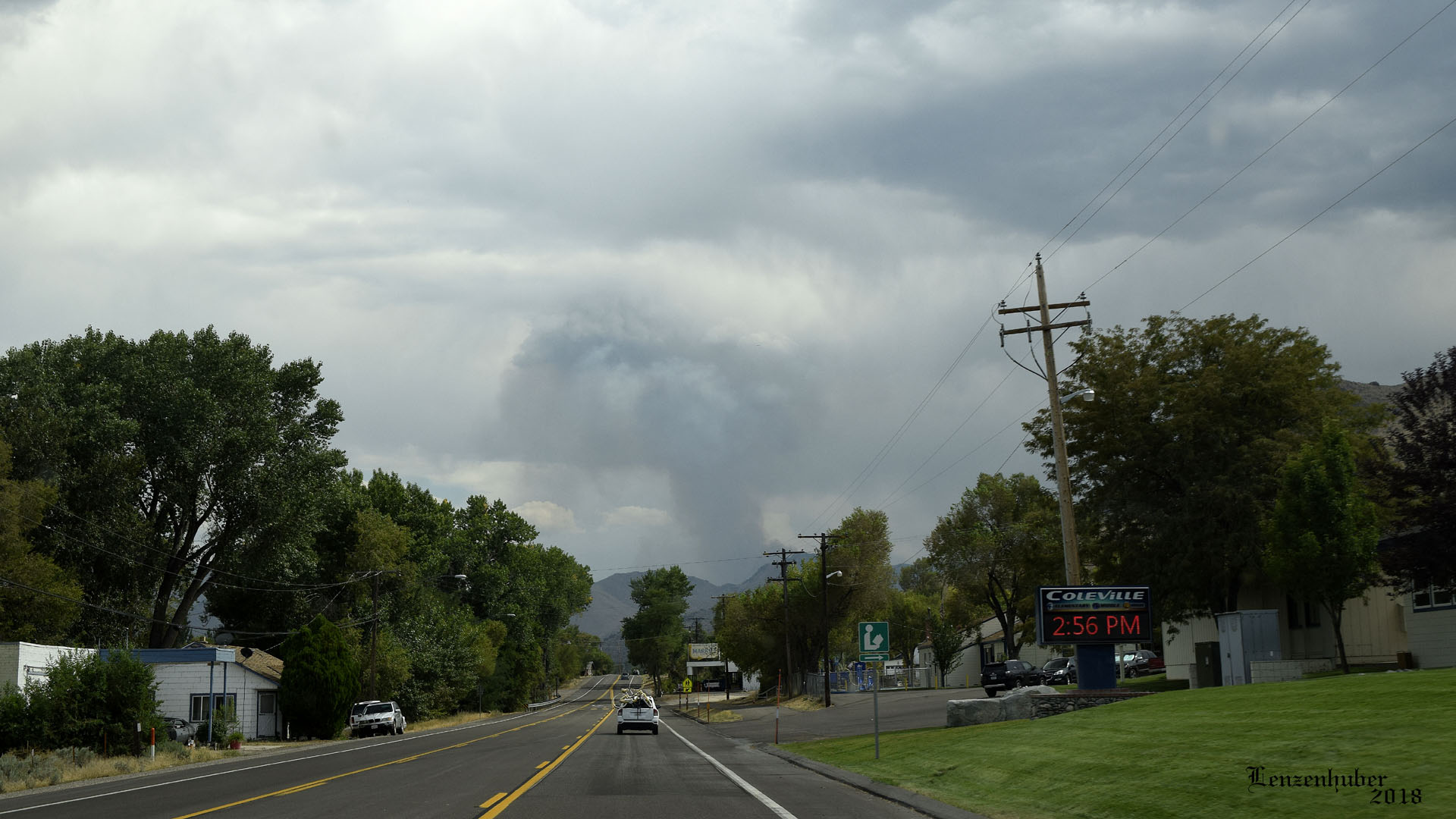 |
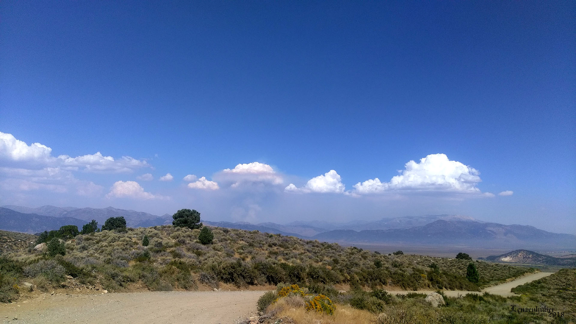 |
| Boot Fire from the North on Tuesday |
Boot Fire from the south on Wednesday from Dunderberg Peak
area |
| I went 14 miles further down US395 than the
detour because they were just in the process of setting it up. Had taken
the detour through Wellington Nevada to Bridgeport before when the road
had washed out when the Walker River flooded. Turns out it was not far
from the Sonora Pass cutoff I had gone over to start the trip. The
section of 395 was still closed a day after I got home as well as Sonora
pass. |
| Virginia Lakes Road
again |
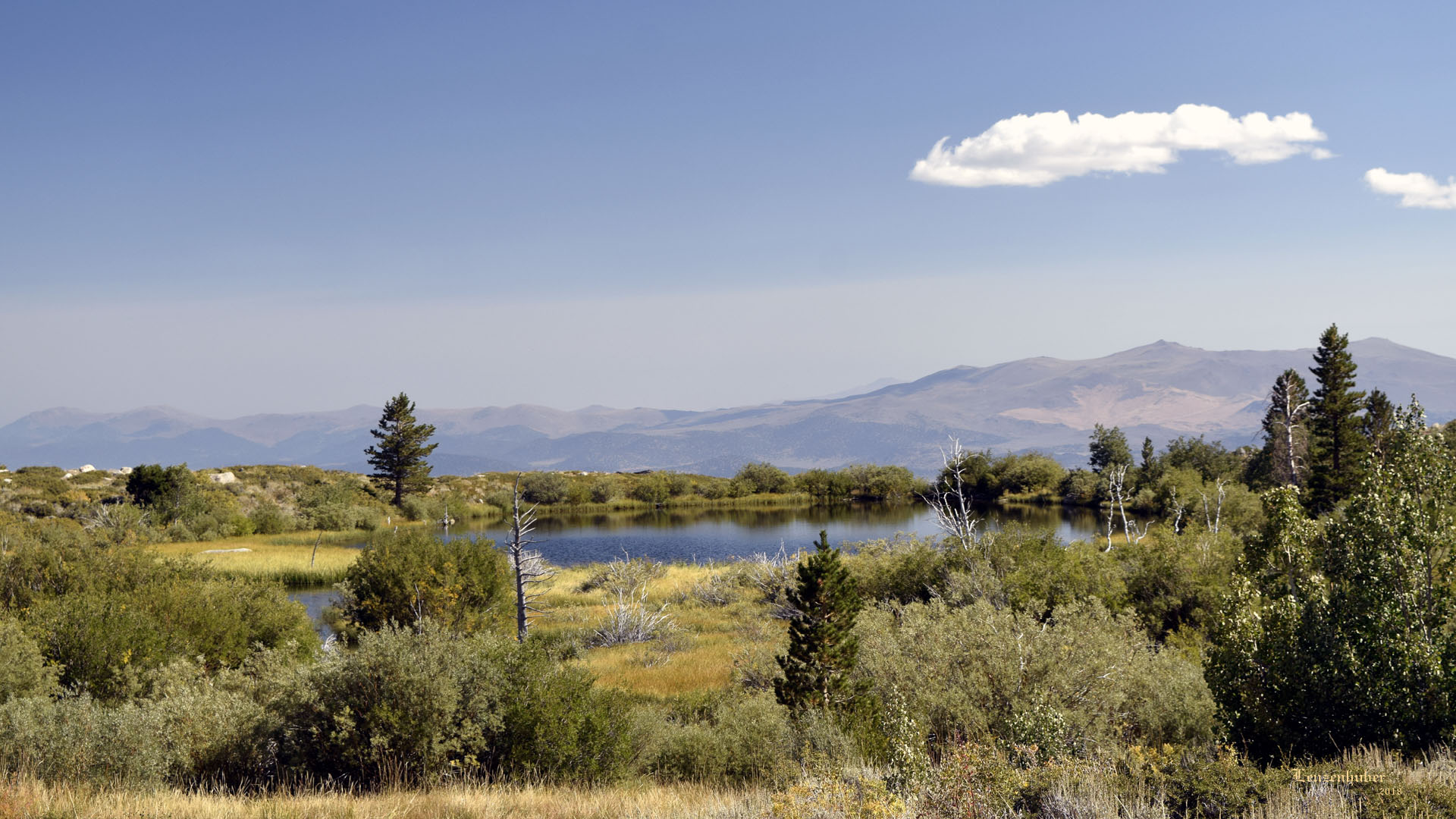 |
| Small body of water off Dunderberg
Meadows Road |
 |
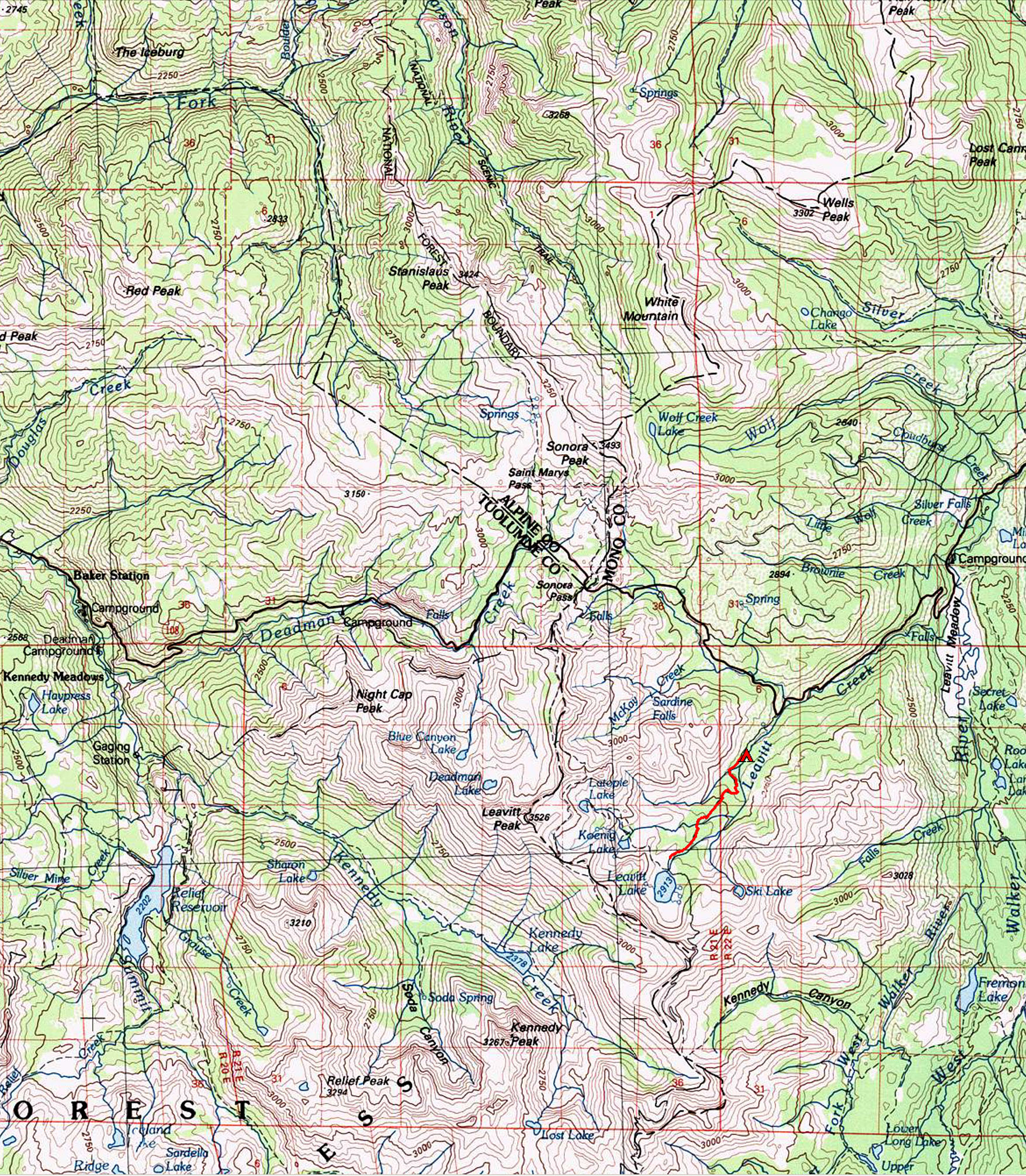 |
| Route |
Leavitt Lake hike |
| Back to
recently |