| Back to Recently |
| Sequoia National Forest June 22-July
7, 2017 |
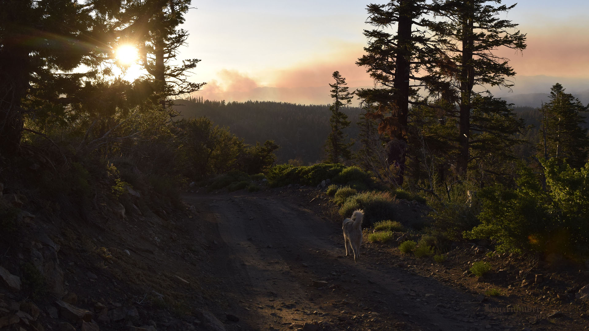 |
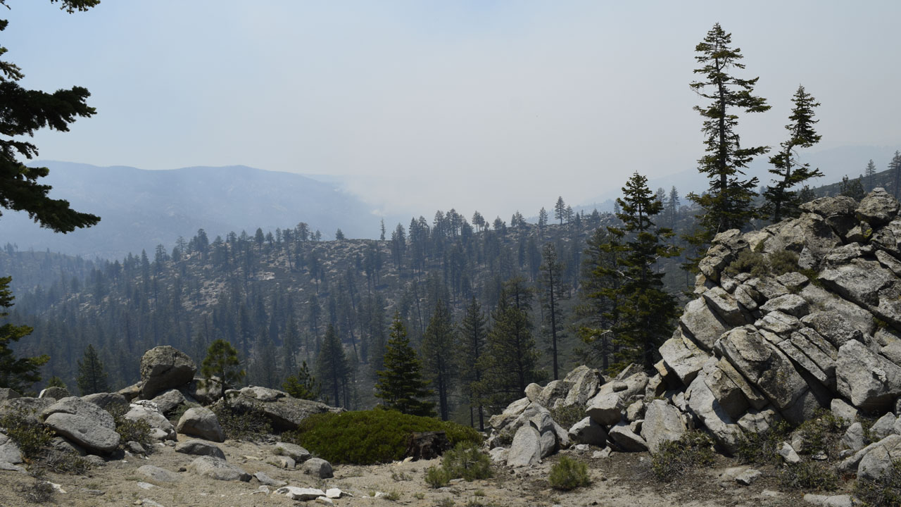
| On the side of Bald Mountain when the Schaeffer
Fire was only about a day old |
| The temperatures in Ridgecrest had been in the
110-115 range and I wanted out of the heat. My closest escape is about 60
miles away at around 8000' in elevation. a 6000 foot gain from Ridgecrest
should be 20 degrees cooler. it was more like 30 degrees. Out of the frying
pan and into the woods. (Almost into the fire) |
 |
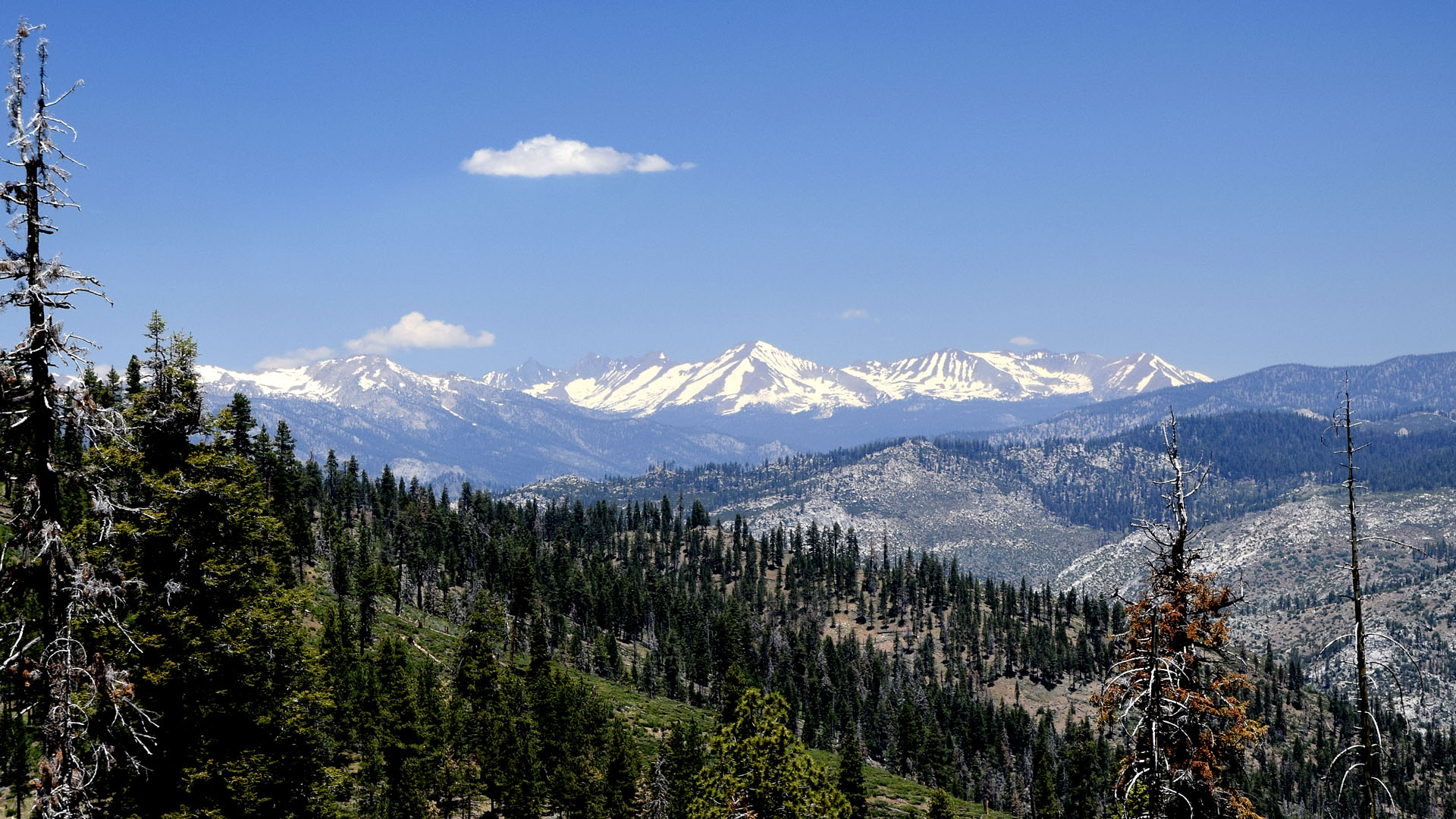 |
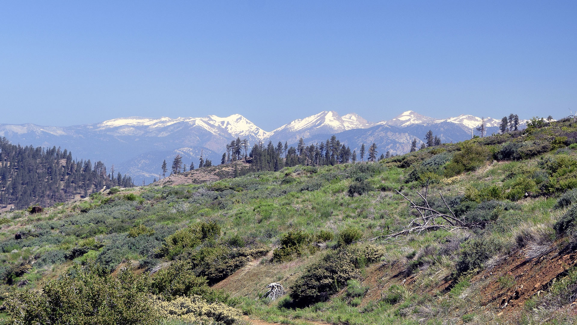
| Mt Florence and the headwaters of the Little Kern River |
The Kaweah's and the Grand Arroyo |
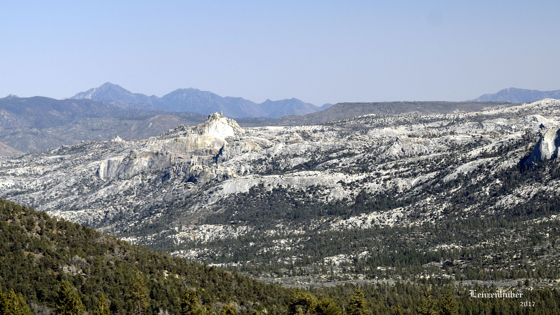 |
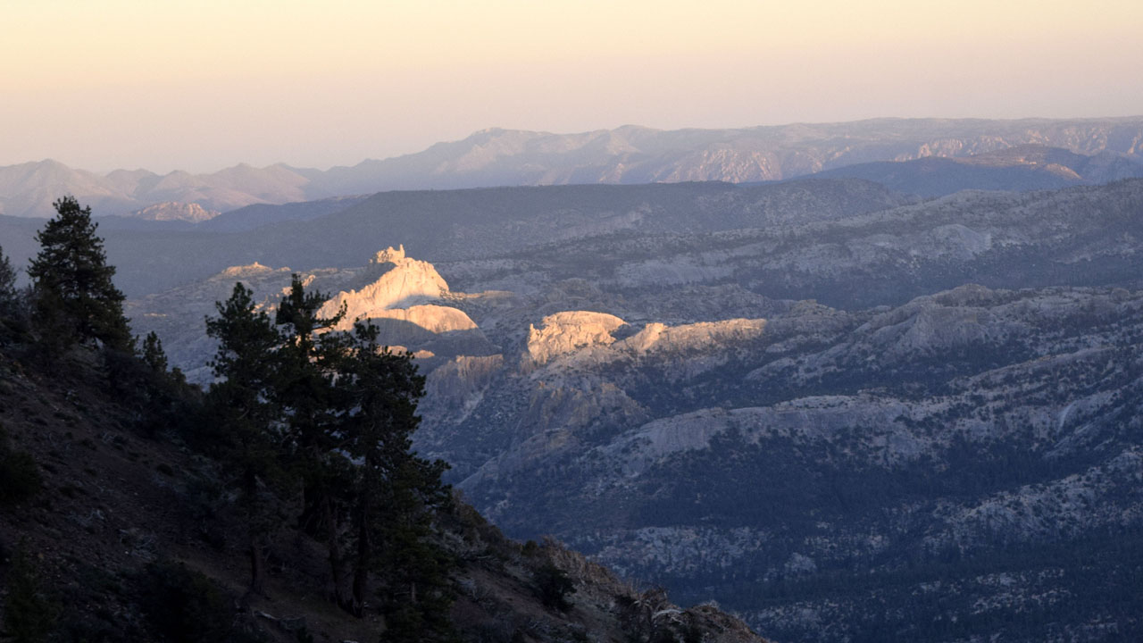
| Domelands with distant Owen's and
Jenkin's Peaks (The eastern edge of the Sierra near Ridgecrest) |
 |
 |
| Sun striking Stegosaurs Fin in Domelands |
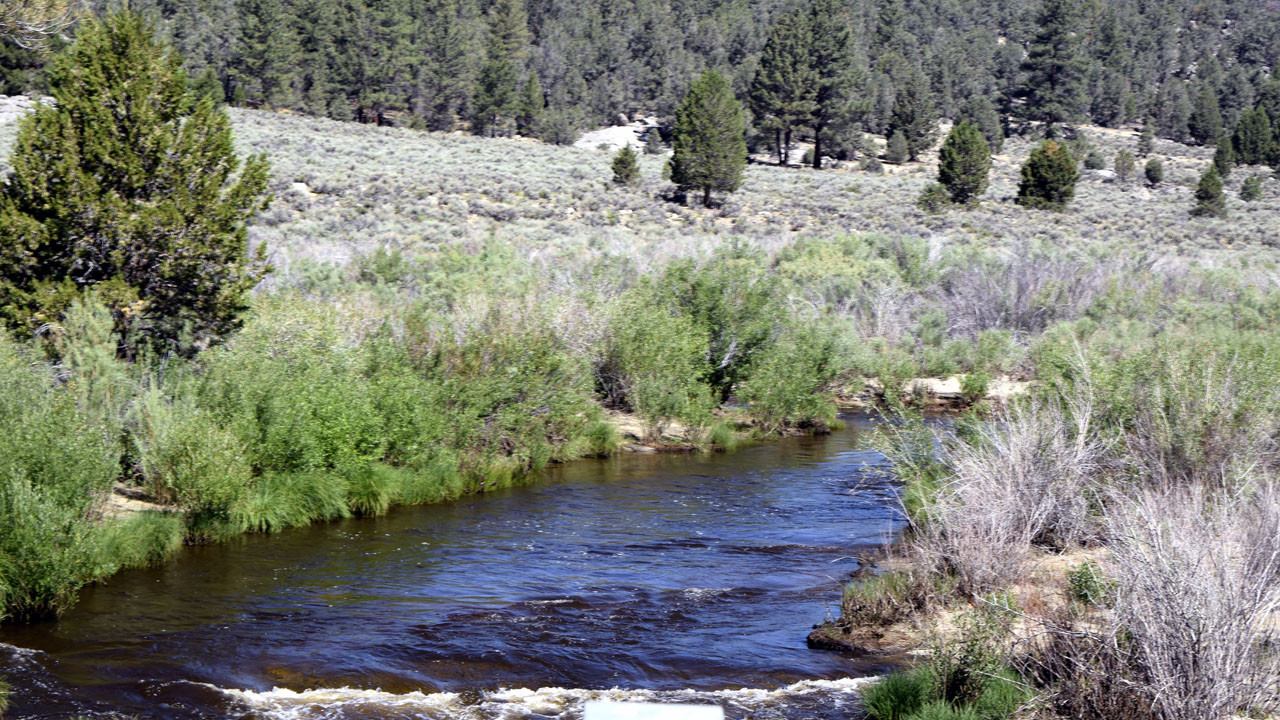
The South Fork of the Kern at Kennedy Meadows |
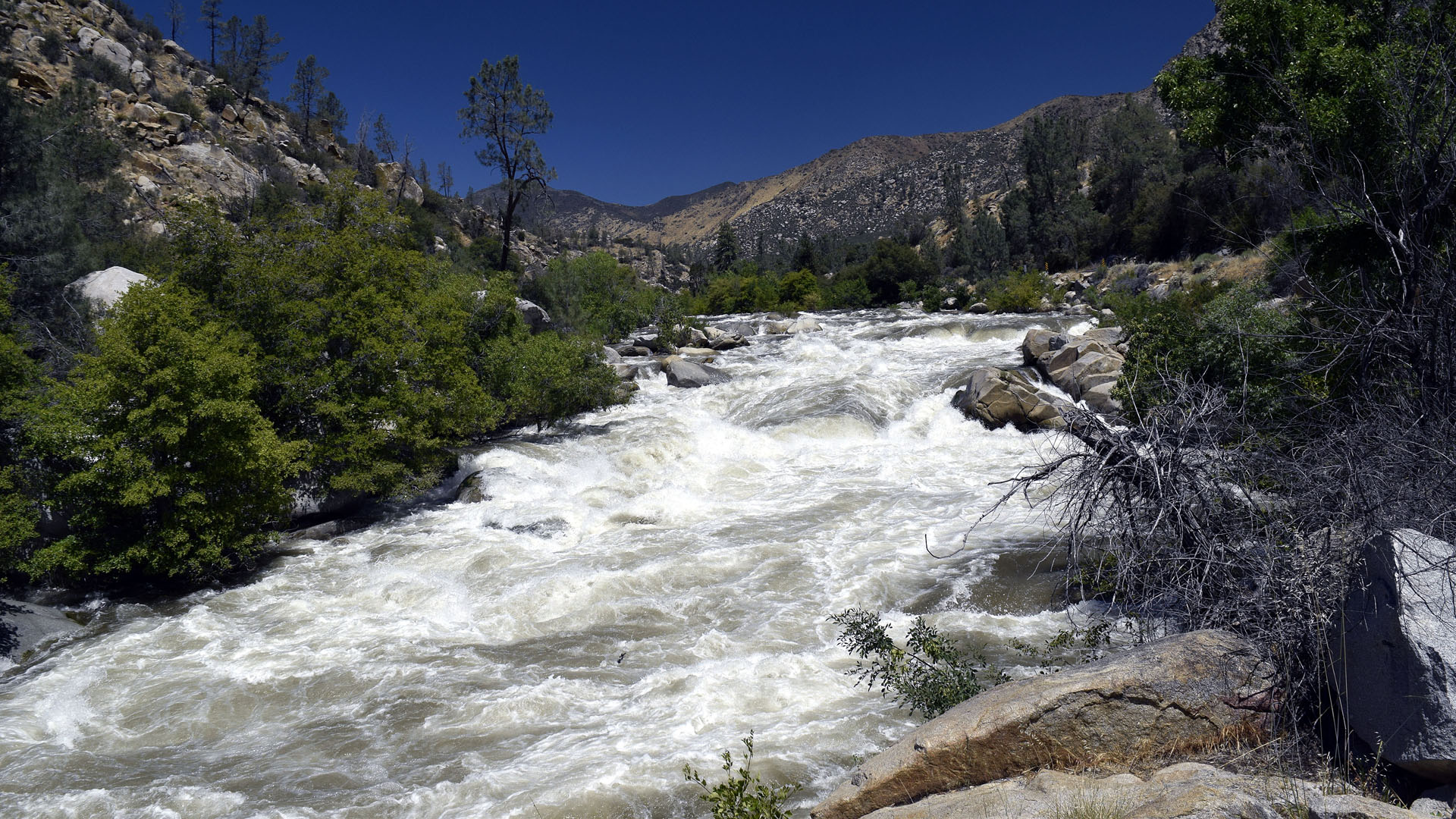 |
| I went down to Kernville on a milk run
(literally). The Fairview store at McNally's was closed so I ended up
doing a 90 mile round trip down to the Kern River and Lake Isabella. The
river is running very strong and I imagine someone will die in it over the
coming 4th of July weekend. The white water rafting people are very happy
for a great season. |
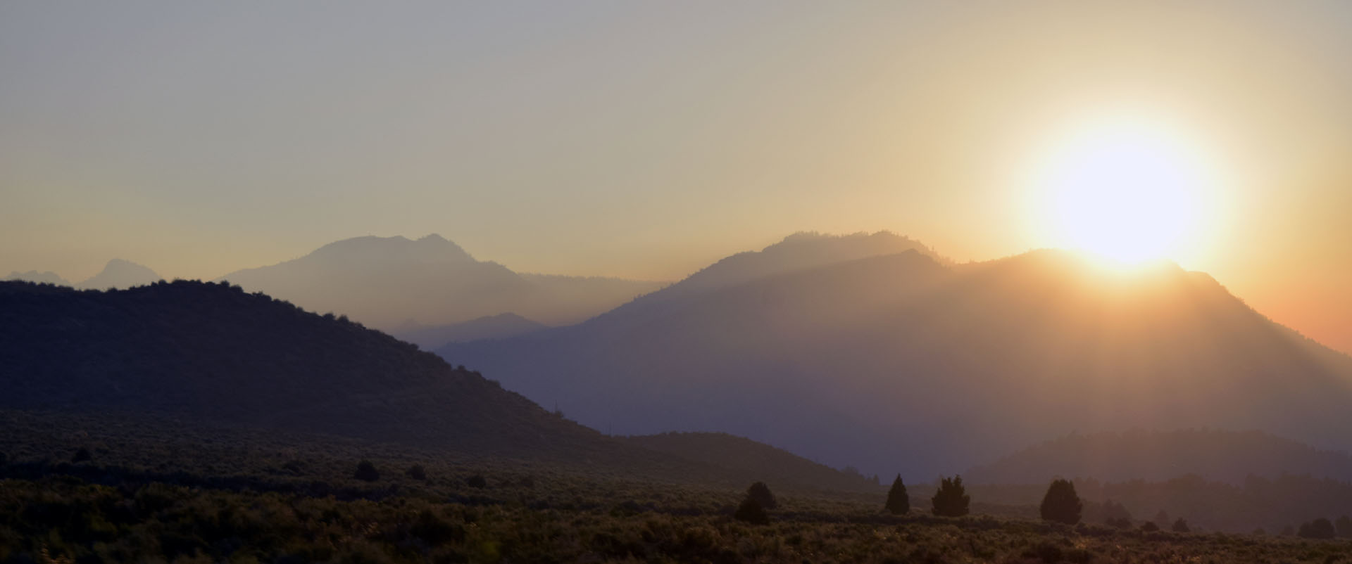 |
| Coming back up from Ridgecrest on Wednesday was a bit
smoky |
 |
 |
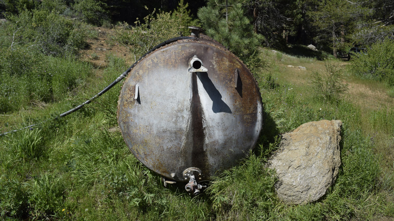
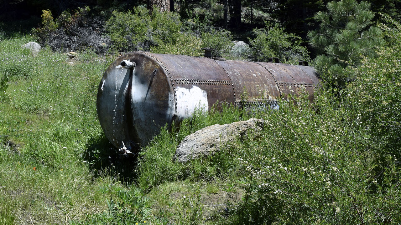
| Powell Meadows tank wasn't flowing. Somebody must have just
turned it on because it was still filling |
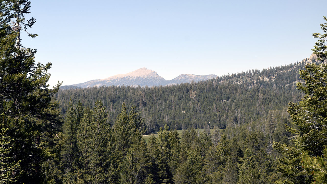
12,000' Olancha Peak was devoid of snow on the southwest
flank. |
| Thursday I checked out the area I usually camp
around over towards Granite Knob.. The Monache Jeep trail was open and people
were camped in the Granite Knob area. The area was out of the smoke from
the fire at the time, unlike my camp, but I decided not to move. |
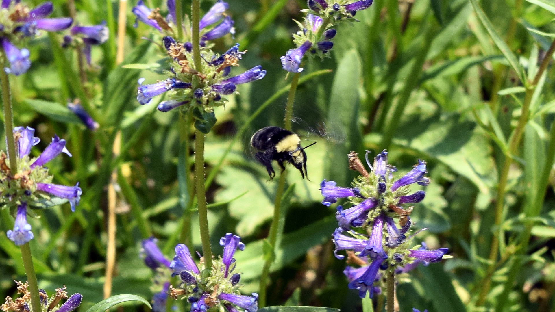 |
| Big fat bees in the mountains |
 |
 |
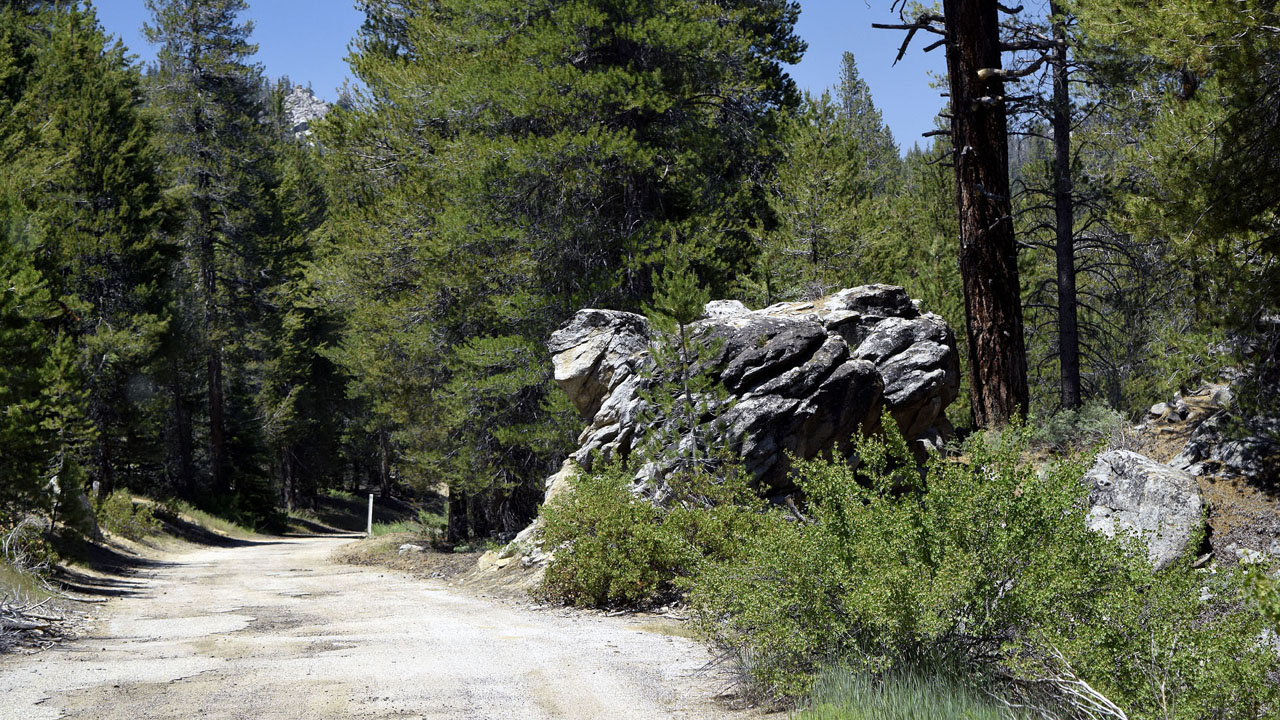
| I see two creatures faces, one looking each way on the road
to Powell Meadows |
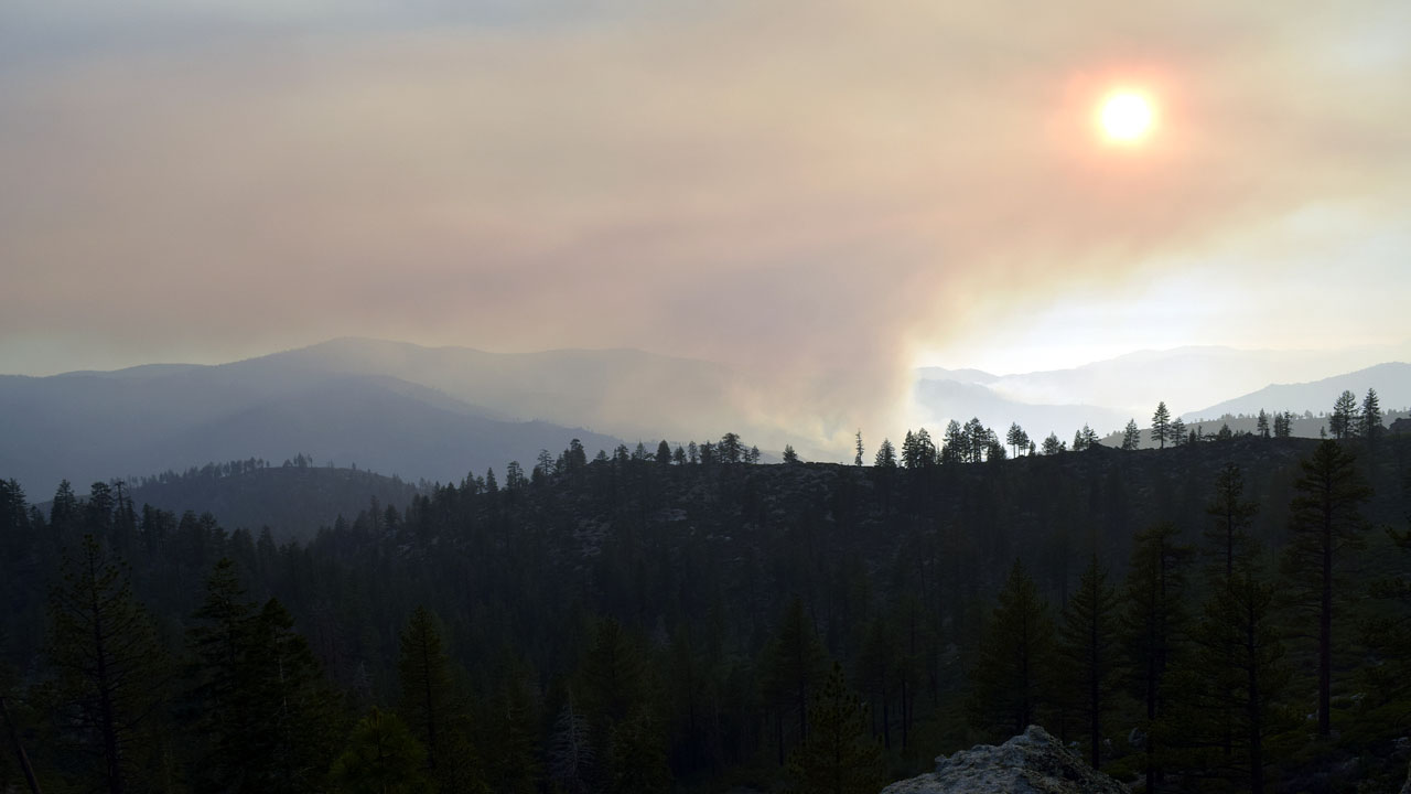
The Schaeffer fire from Beach Ridge on Friday June
30th (lightning started it last Saturday) |
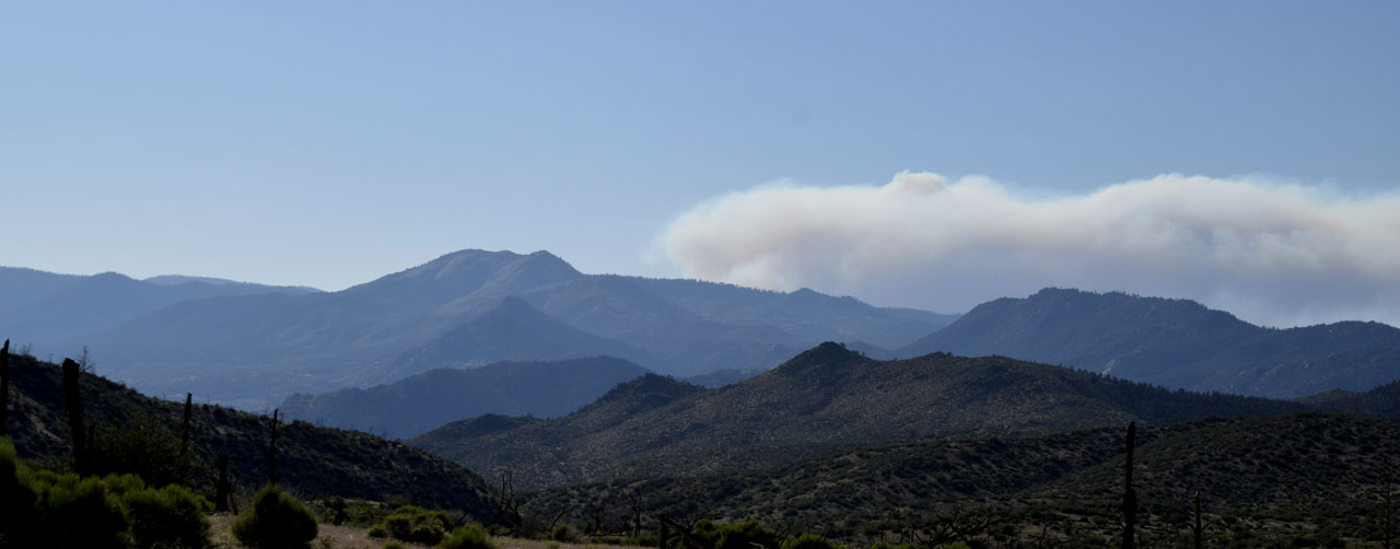 |
| Bald Mountain with smoke to it'sright |
 |
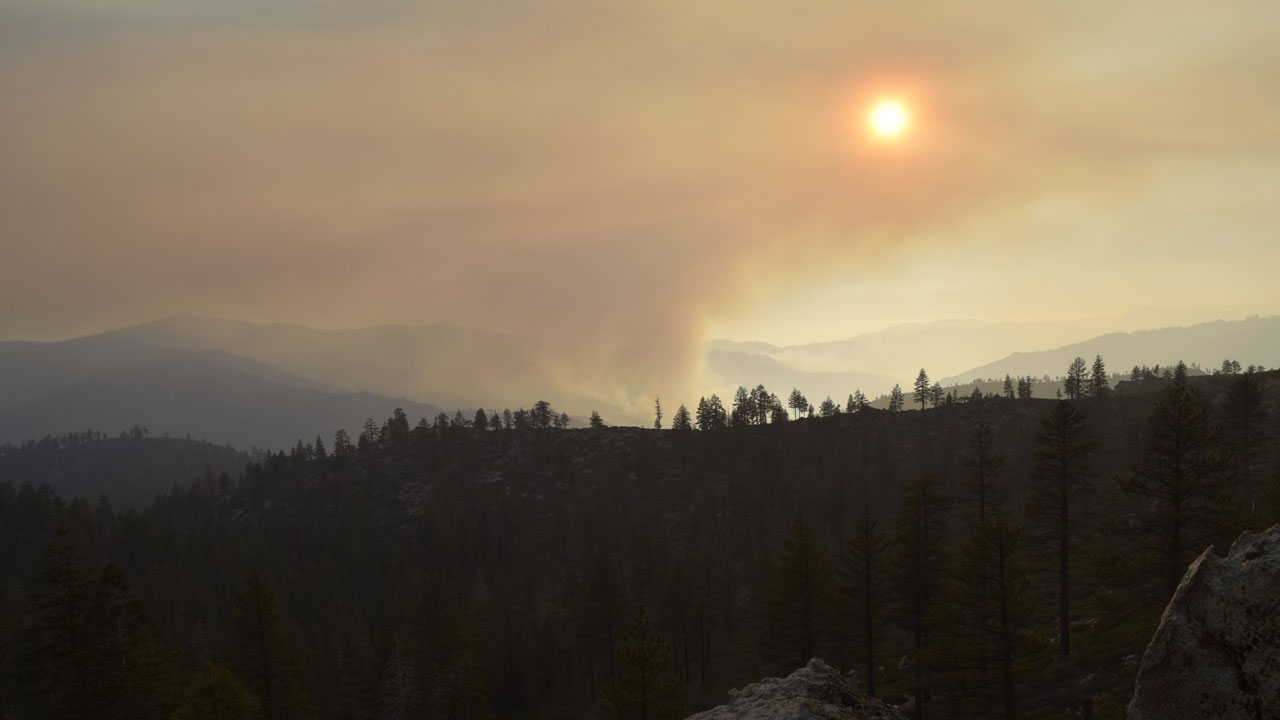
| The Schaeffer Fire Sunday July 1st |
| Saturday June 24th it rained on my camp for an
hour or more during lightning storms. A lightning strike ignited a fire
near Schaeffer Mountain on the southwest ridge of Rattlesnake Creek about
6 miles from my camp. It is in the footprint of the 2002 McNally fire and
is just being monitored. Periodically my camp gets inundated with smoke an
ash but not too severely. By Sunday they had men in the field. I saw
bunches of forest service firefighting trucks coming back past my camp
towards Black rock Station |
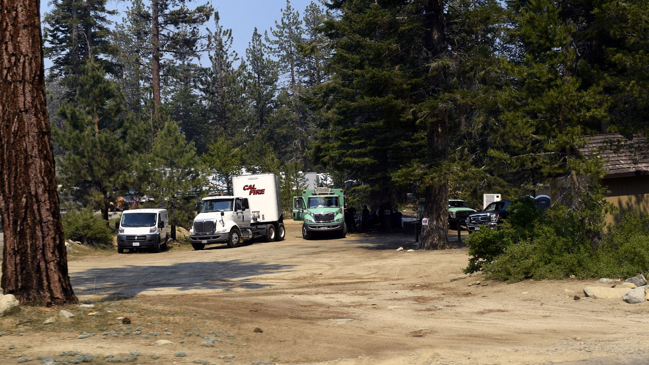
| They have turned the Bitter creek Trailhead
area into a heliport. Opened Troy Meadows Overflow and made it a one way
loop in the road and out the campsites. The campsites are sleeping areas
for the fire fighters. First time I've seen the area open in over 5 years
so I drove to the end of the road and hiked a little up Mahogany Creek.
There is a semi trailer parked at the gate on this end of beach Ridge
Road. |
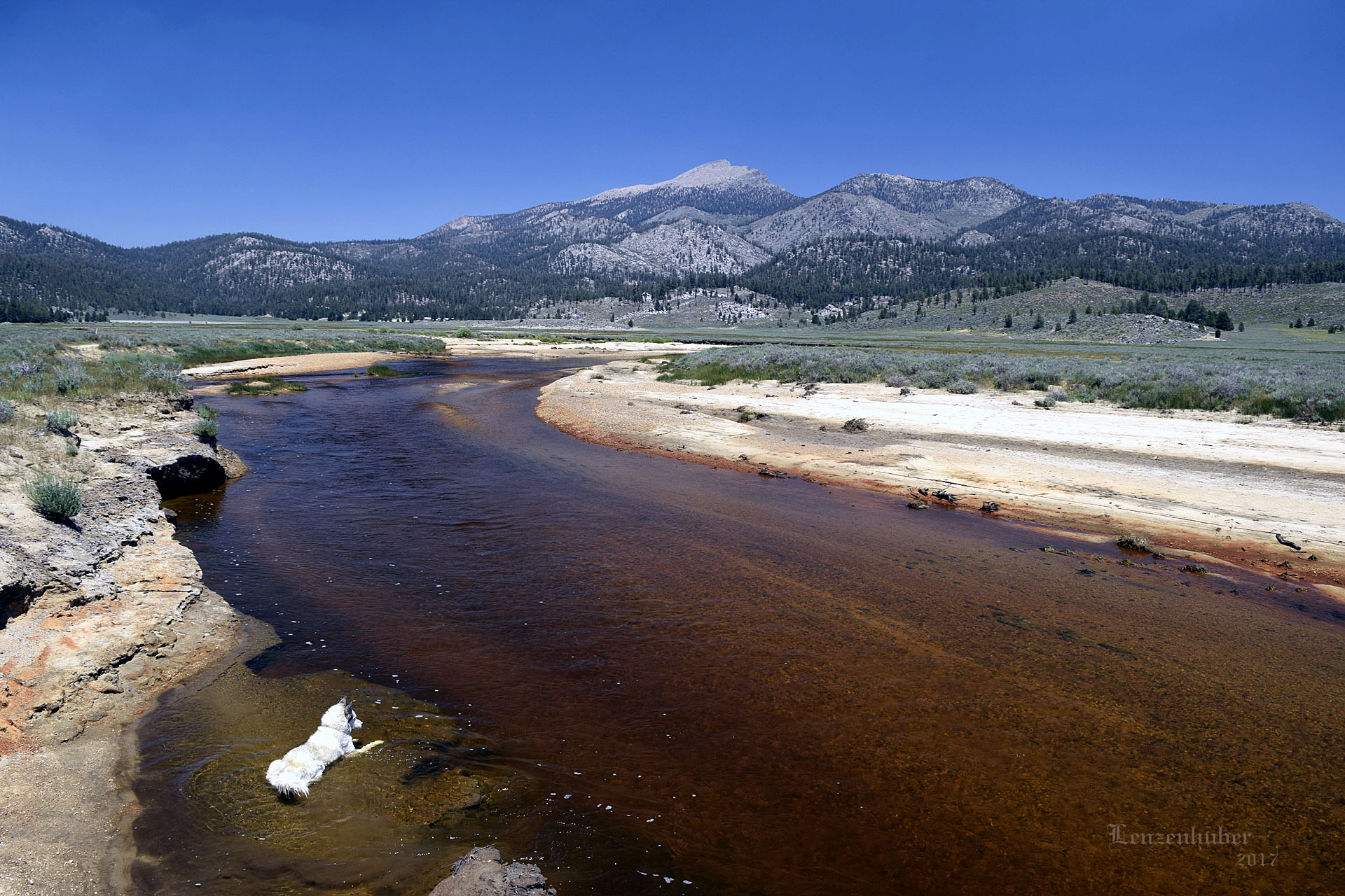
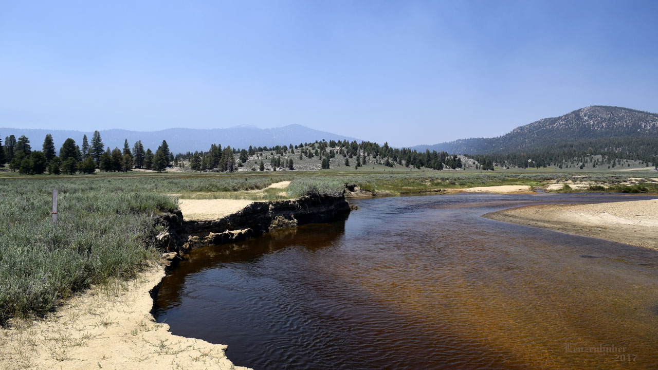
| Monache Meadows |
 |
 |
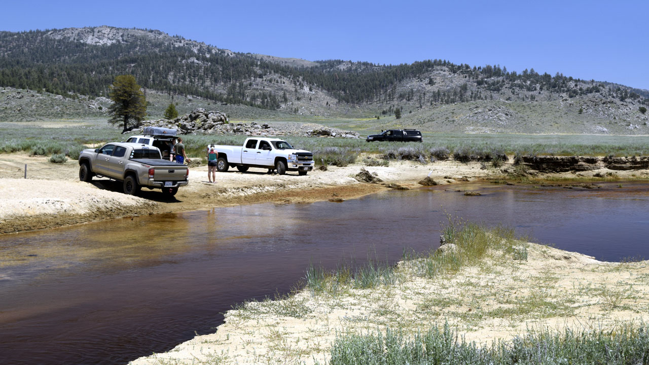 |
| The road that used to allow you to ford the
South fork of The Kern River washed away with the heavy spring runoff. The
river was too deep even if you could reach it. The crossing to the north
was still usable and people were collected on the other side of the river.
There was only one fisherman just a few minutes before. (A
polarizing filter was used to remove the sky's reflection and enable
seeing the river bottom more clearly. The water is not brown the river
bottom is.) |
 |
 |
| Water was overflowing from Powell Meadows tank |
Blackrock Station has become base camp for the fire |
 |
 |
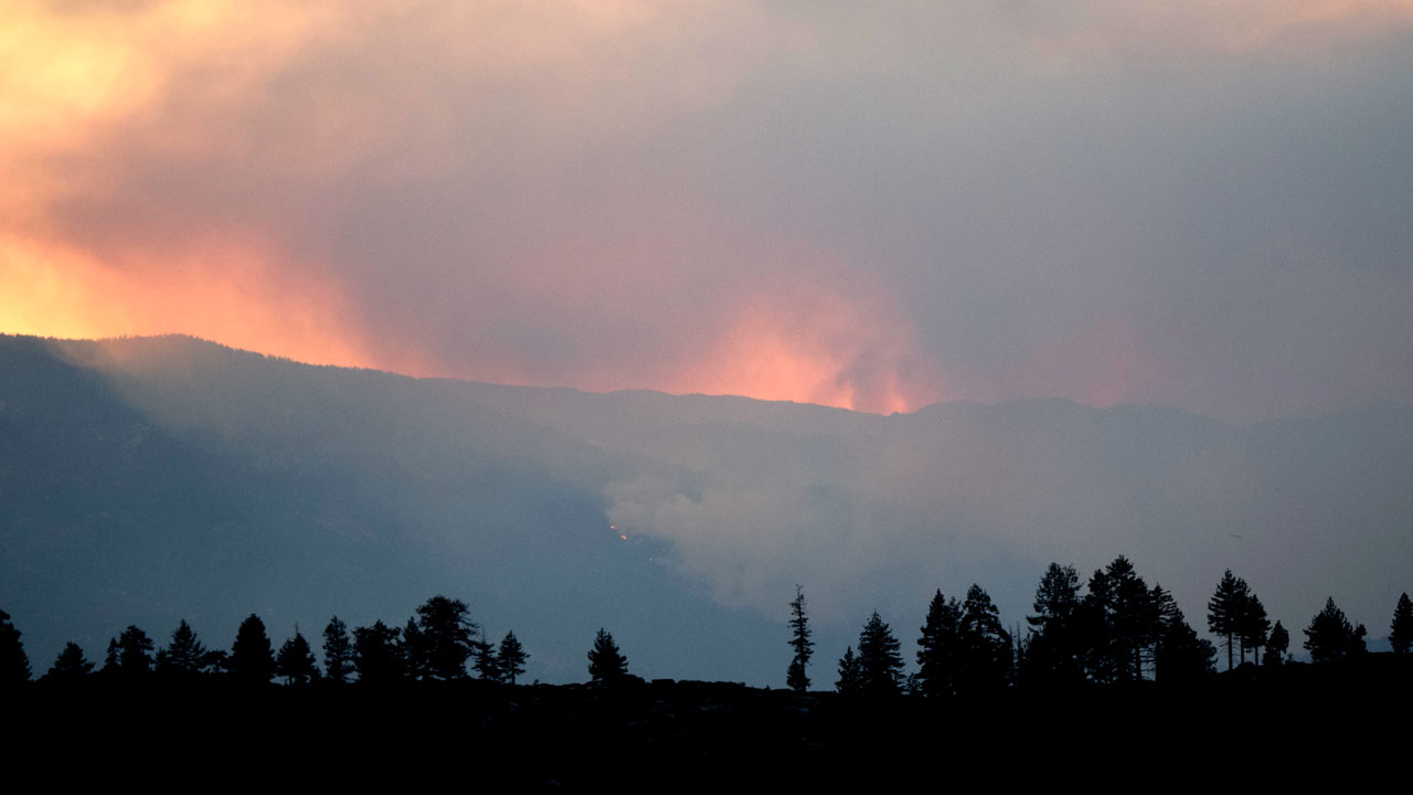
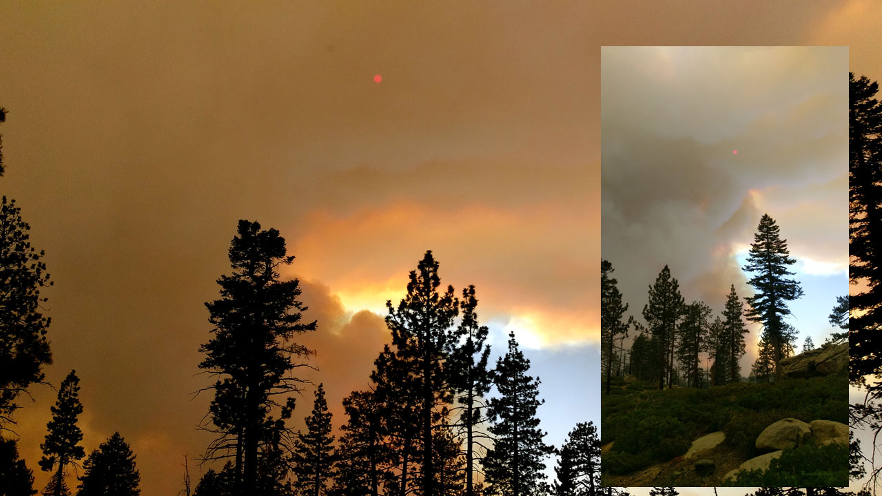
| Schaeffer fire on Monday July 3rd |
 |
| 4th of July |
| Back to Recently |