| Back to Recently |
| Owens Valley January
13-18, 2017 |
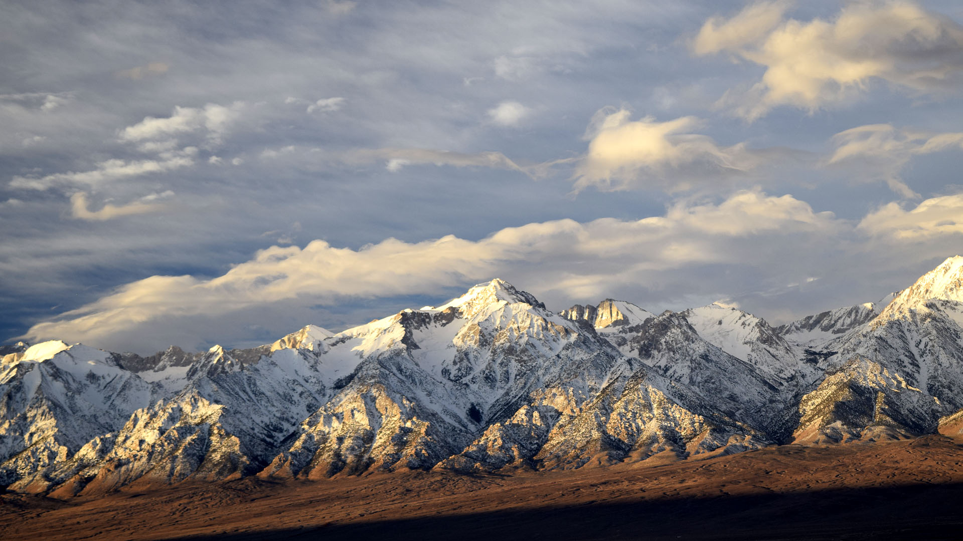 |
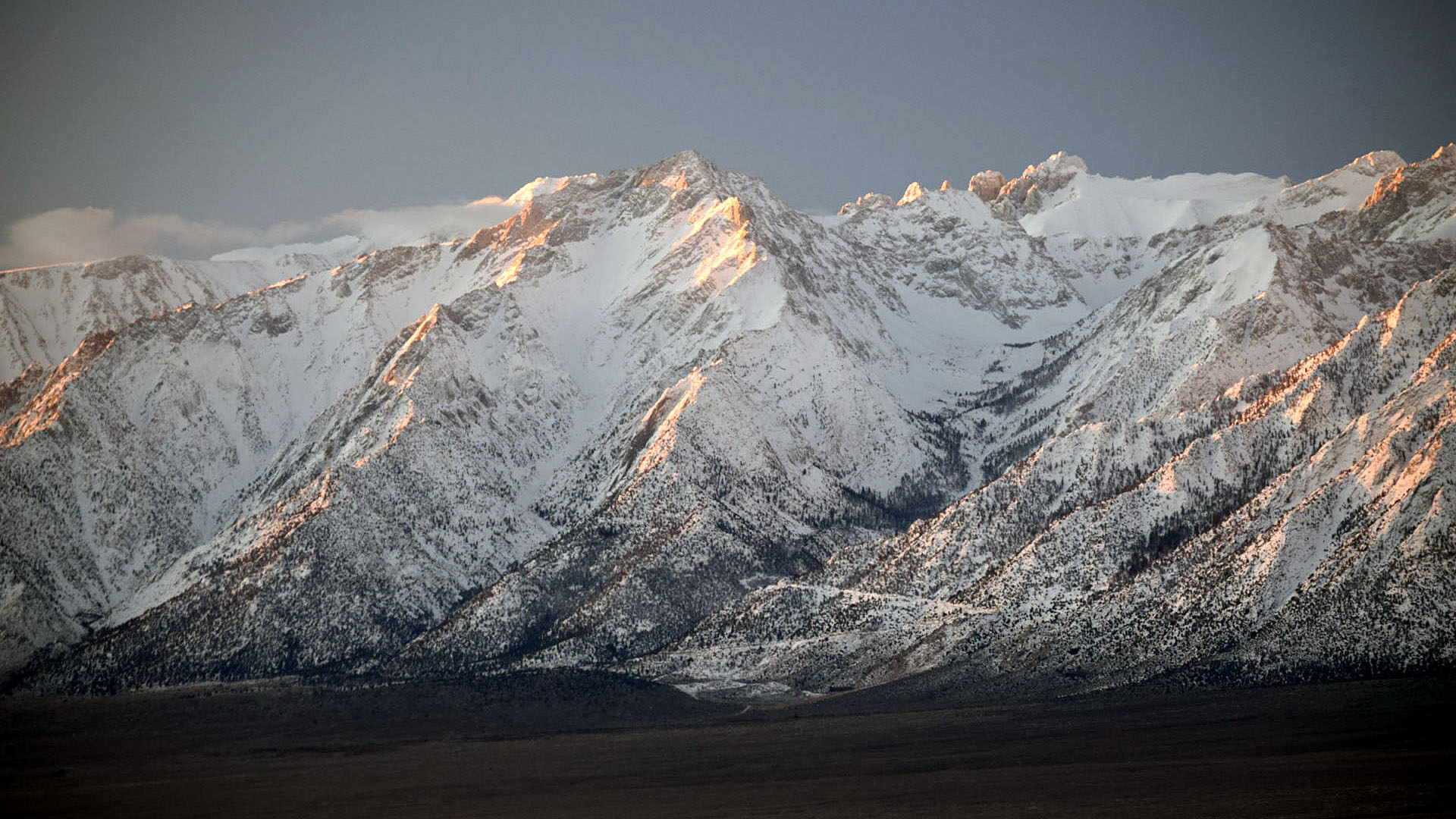
| Mount Williamson (14,375' the
2nd highest in California) on the morning I left. Five or six
days of good weather were supposed to be followed by five or six days of
bad so I bailed. |
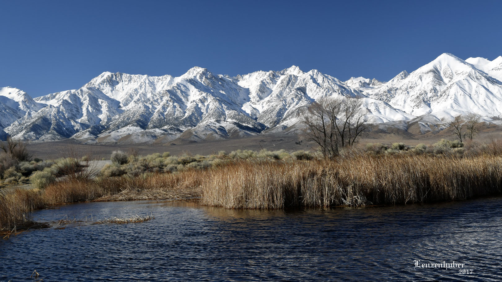 |
| Lake Lenzenhuber (My topographical map shows levies but no
water with no name on the map) |
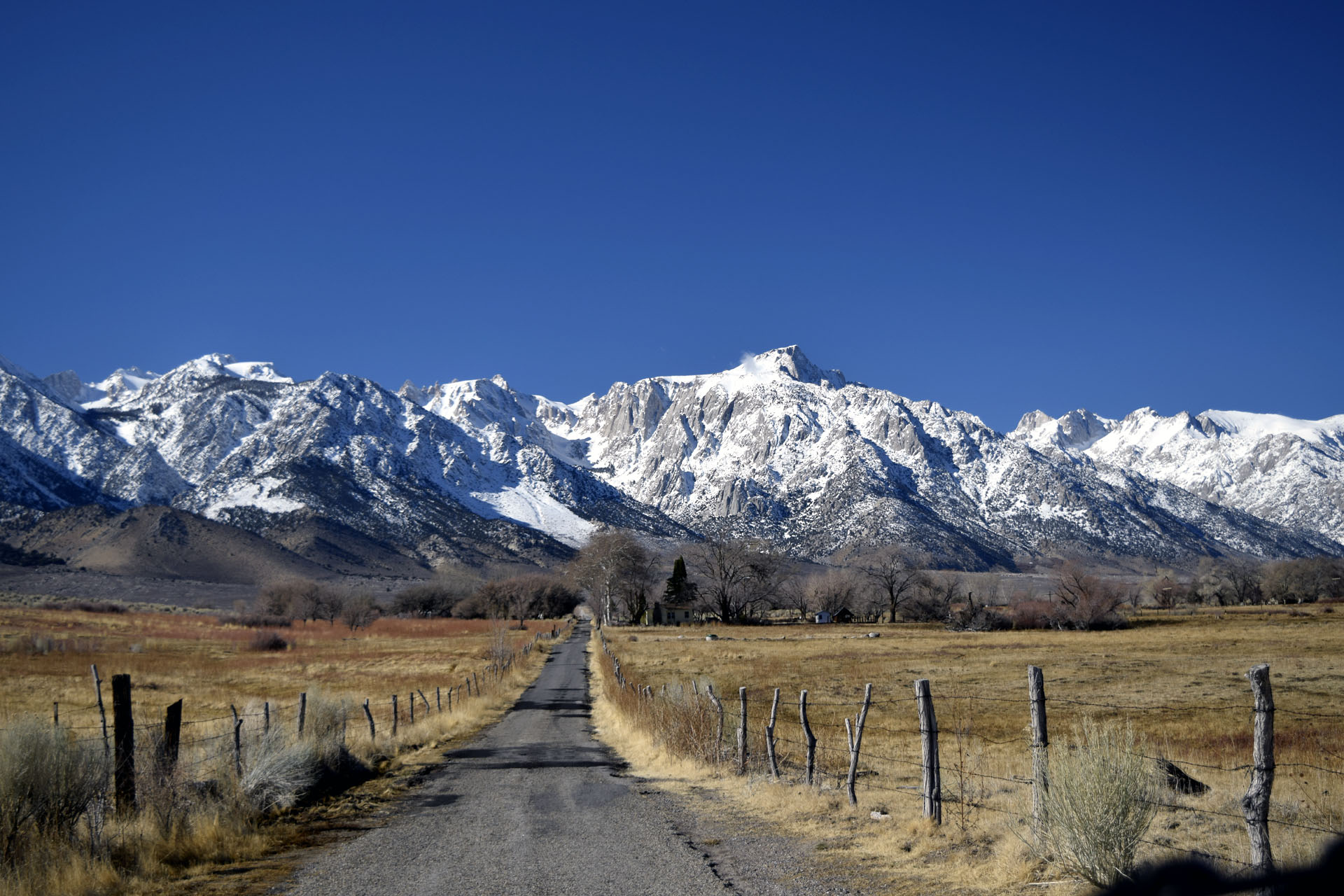 |
| Lubken Road with Lone Pine Peak just to the
right of it. |
 |
 |
| Independence |
Part of Seven Pines off Onion Valley Road with the snow capped
Inyo Mountains |
 |
 |
| Lone Pine Peak and the Road up to Whitney Portal |
The White Mountains were white |
| Kearsarge (Site) |
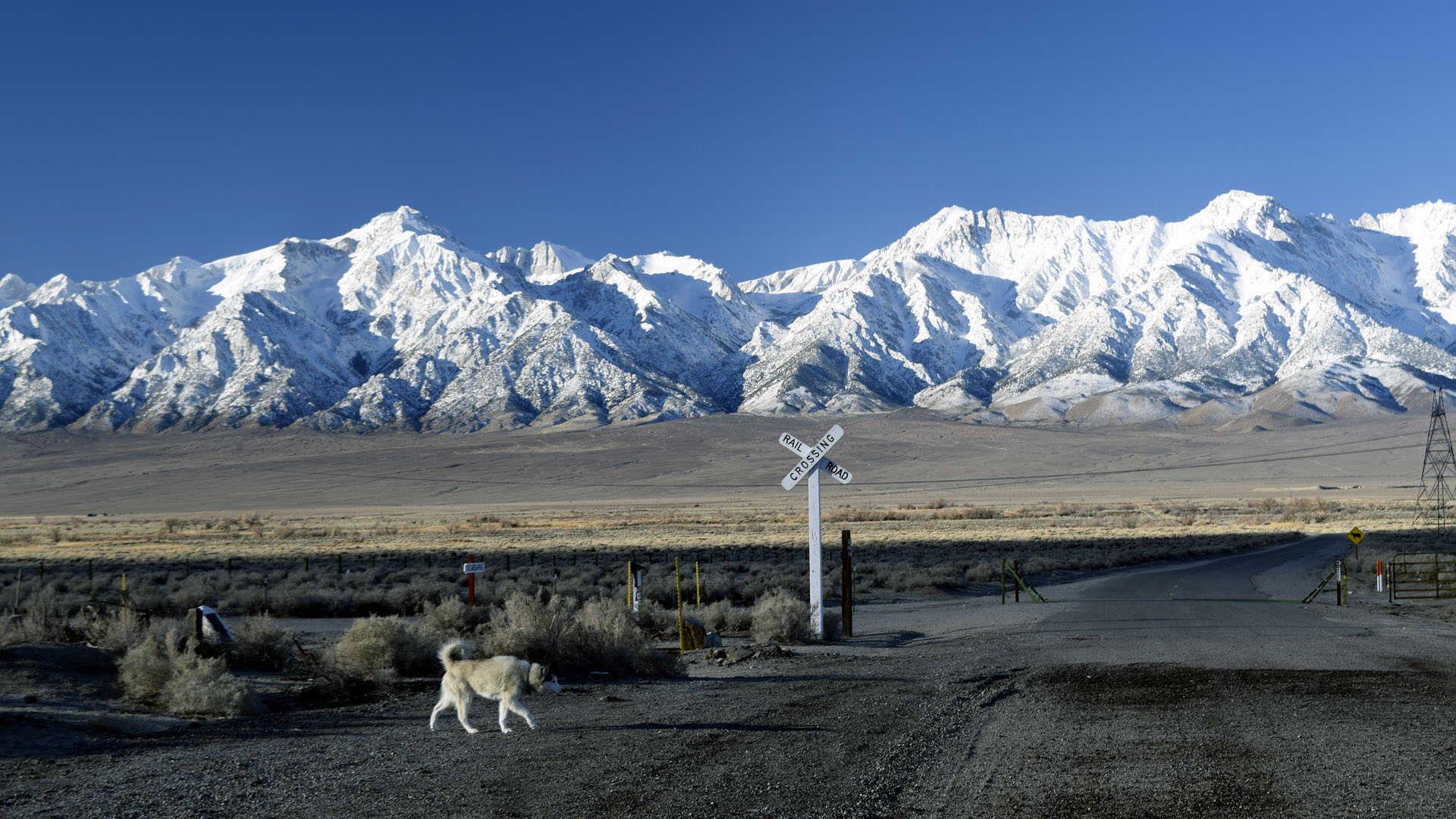 |
| There is no Rail Road Crossing. It marks the
site of the old Kearsarge Station. The engine (The Slim Princess) has
been sitting covered in Independence for years. They are working on
getting it running again. Where they are planning on running it I have
no idea. There is a very short section of track to the left of the
crossing sign (100 feet maybe) |
 |
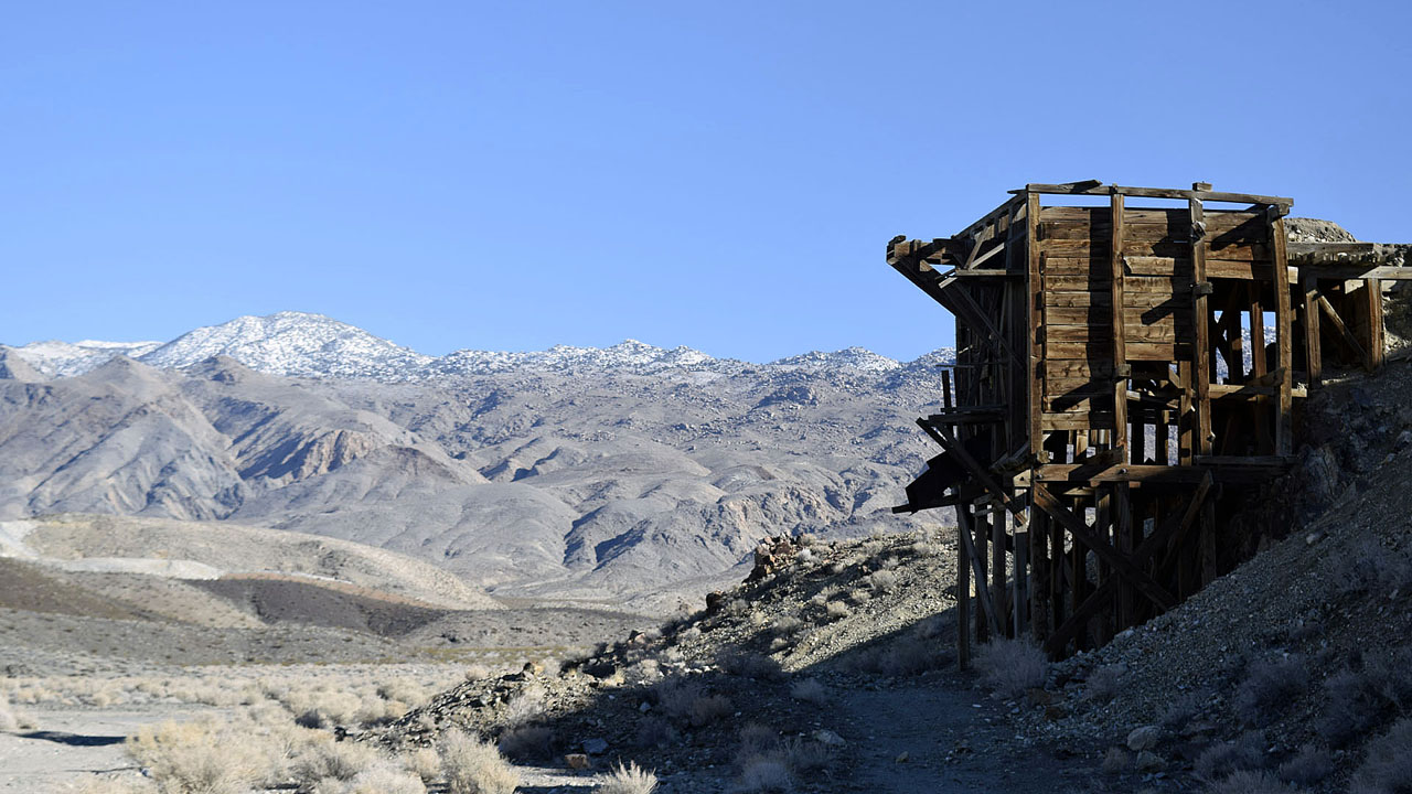 |
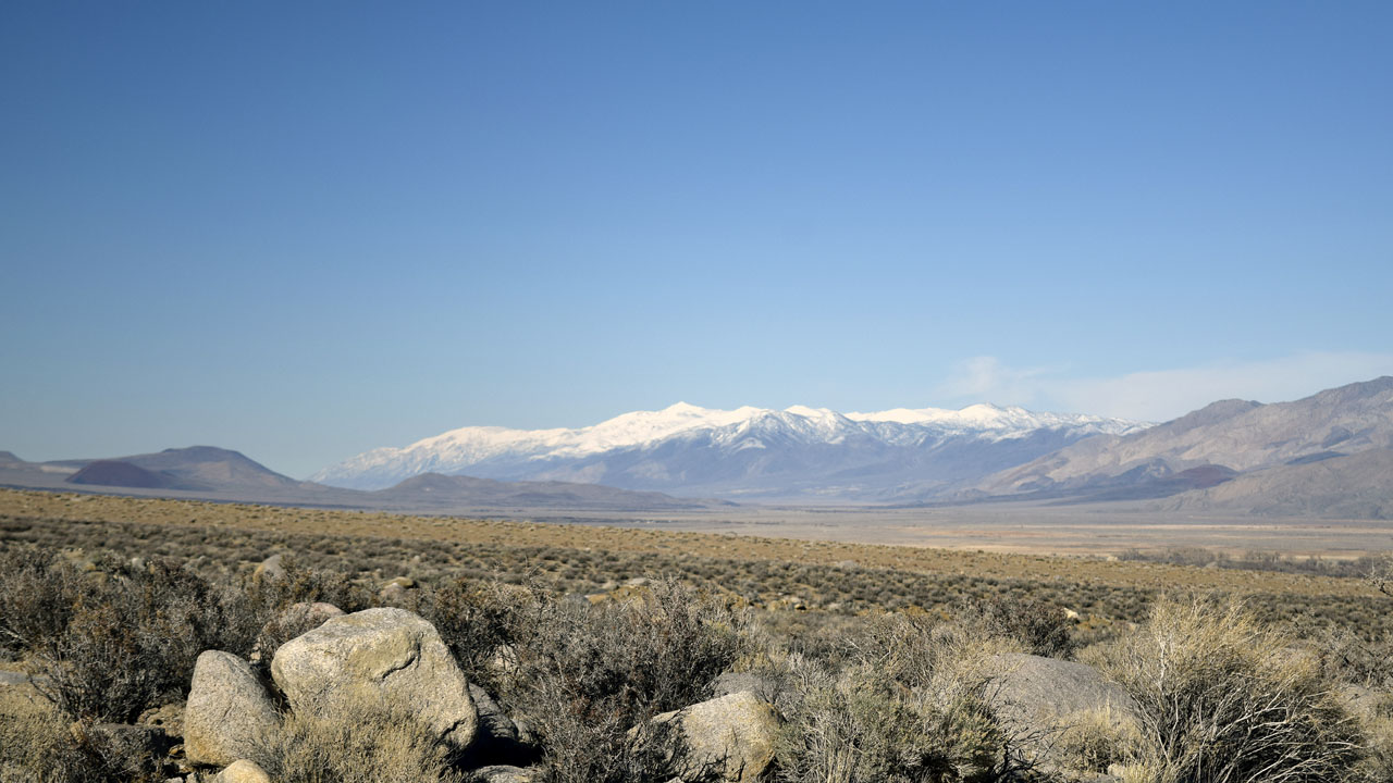
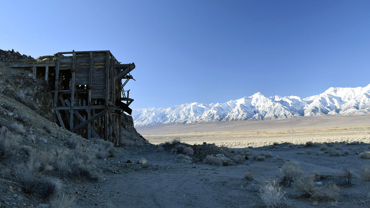
| Loader looking towards the Sierra and looking
towards the Inyos near the old Kearsarge site |
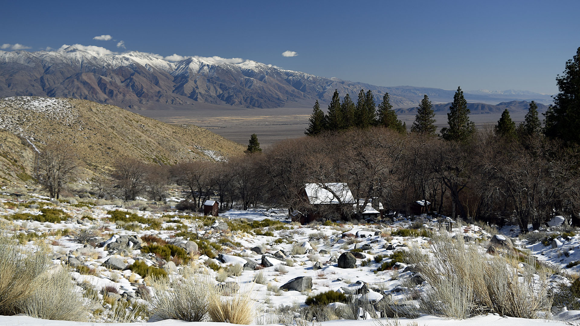
| My first camp was in the Kearsage area just
down the west side of the ridge from the loader. I moved after the
second day because shooters set up on the east side of the ridge and
were shooting for hours. My dog Mya is afraid of gunfire and other loud
noises. I took her up Mazourka road to the snow at about 7400' for a
while but they were going to make a day out of it. I had only camped
there because it was close to the paved road. The road up the hill to my
normal camp was in good shape so I took the trailer up there to be away
from the popular ridge. About 1 1/2 miles and 400 feet higher to about
4200'. |
 |
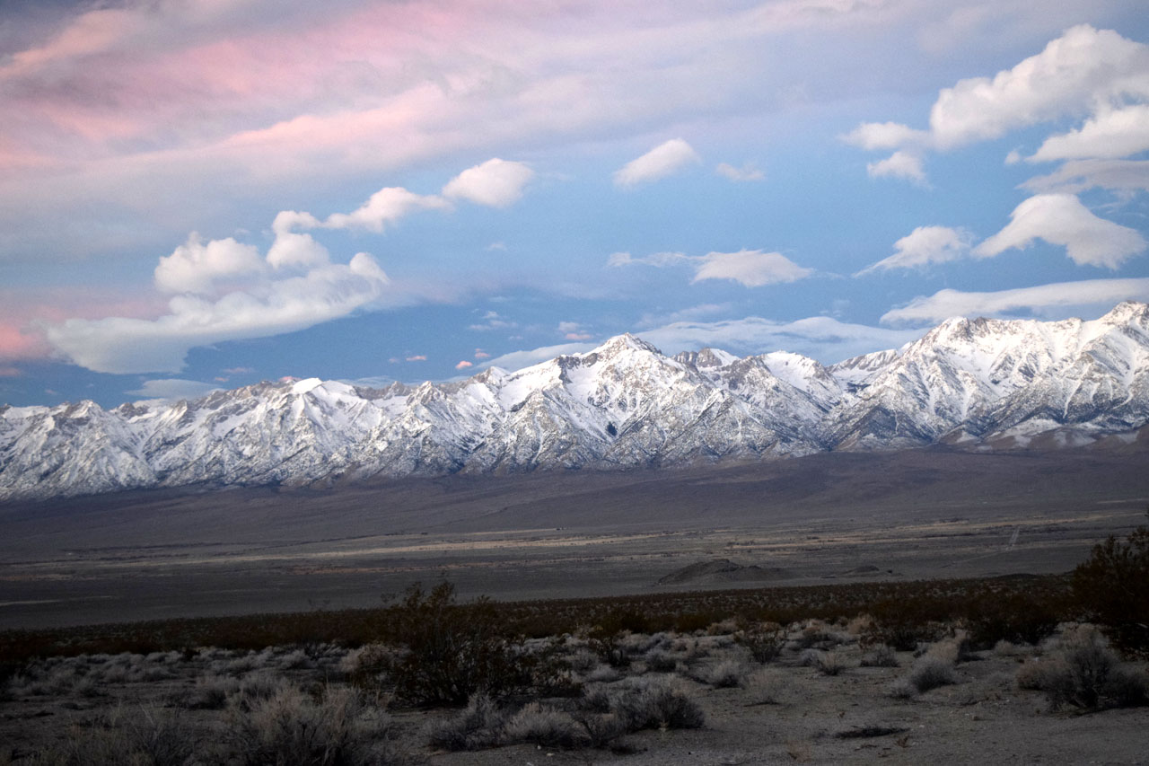 |
| Had some clouds and sky color
the last day for sunrise |
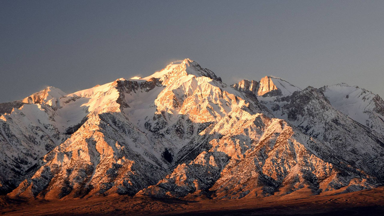 |
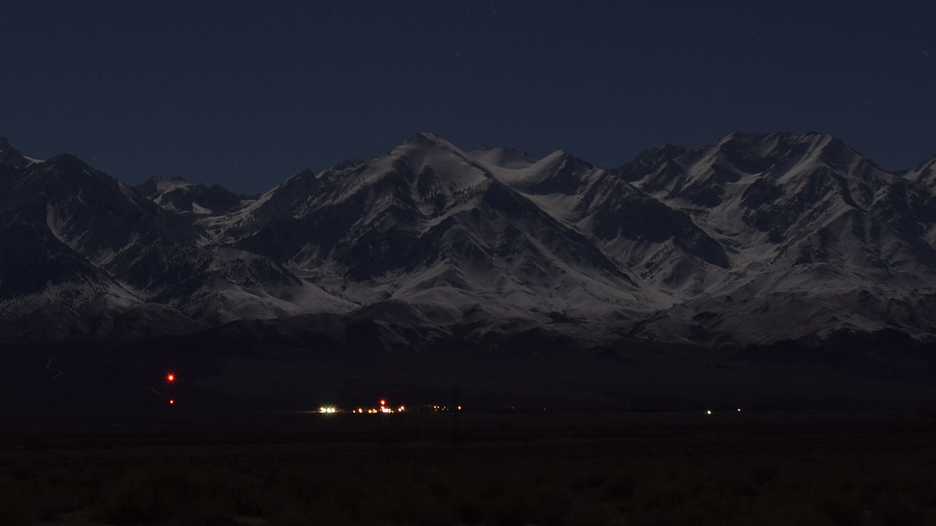
| Morning sun on Williamson,
almost as impressive as down the road on Lone Pine Peak. |
| Back to Recently |