| Back to recently |
| Total Solar Eclipse Trip August
16-25,
2017 |
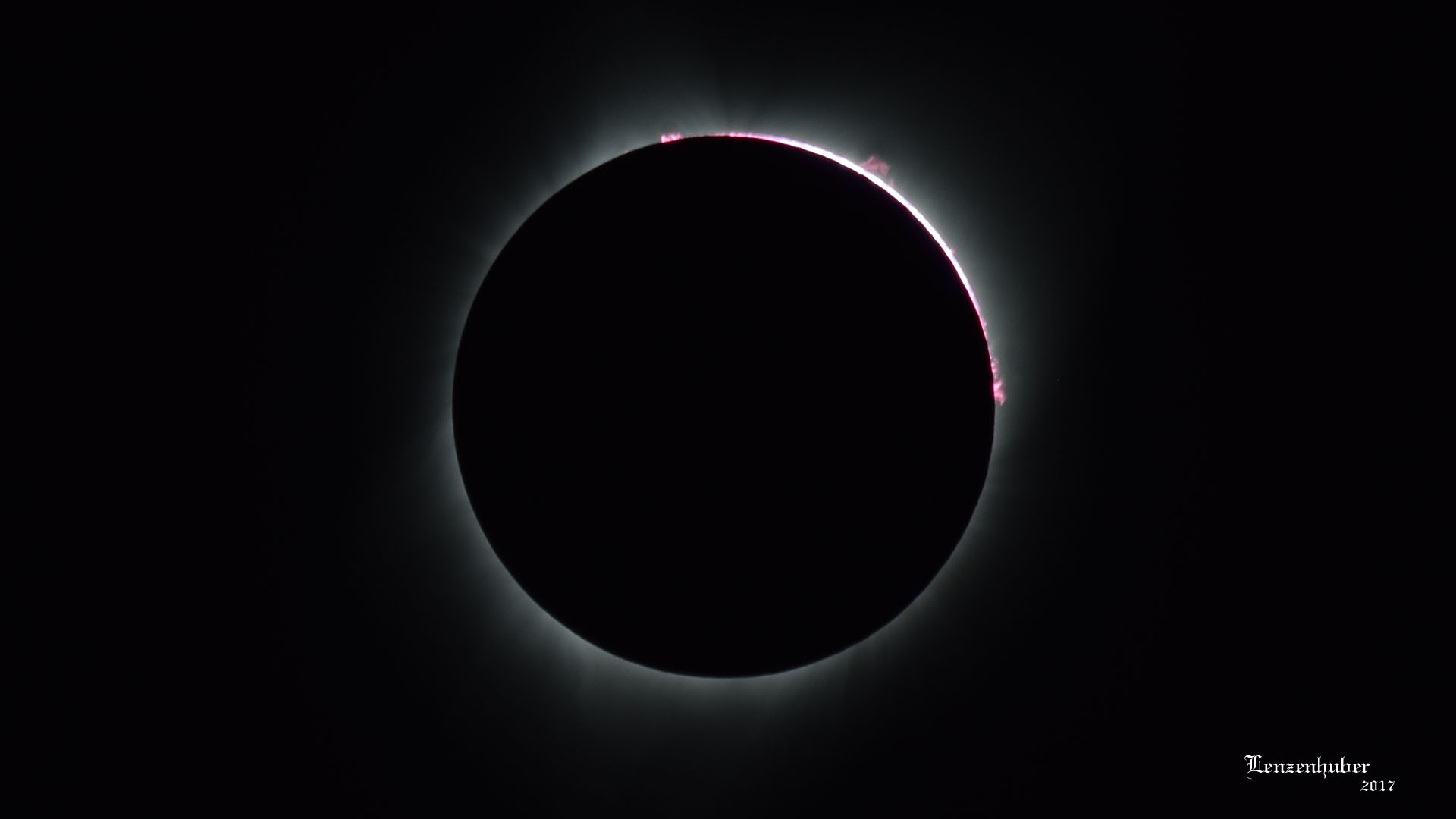 |
| Two minutes isn't long enough when you are
running around fumbling with photo equipment. I managed to switch to an unfiltered
telephoto lens and get one good shot as the event was exiting totality |
 |
 |
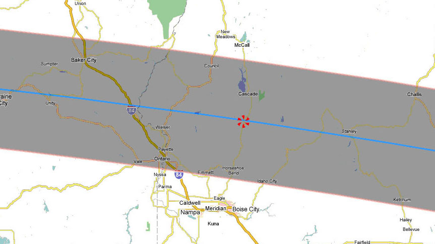
| Asterisk is in the band of totality near Smith Ferry about 60
miles from Boise Idaho |
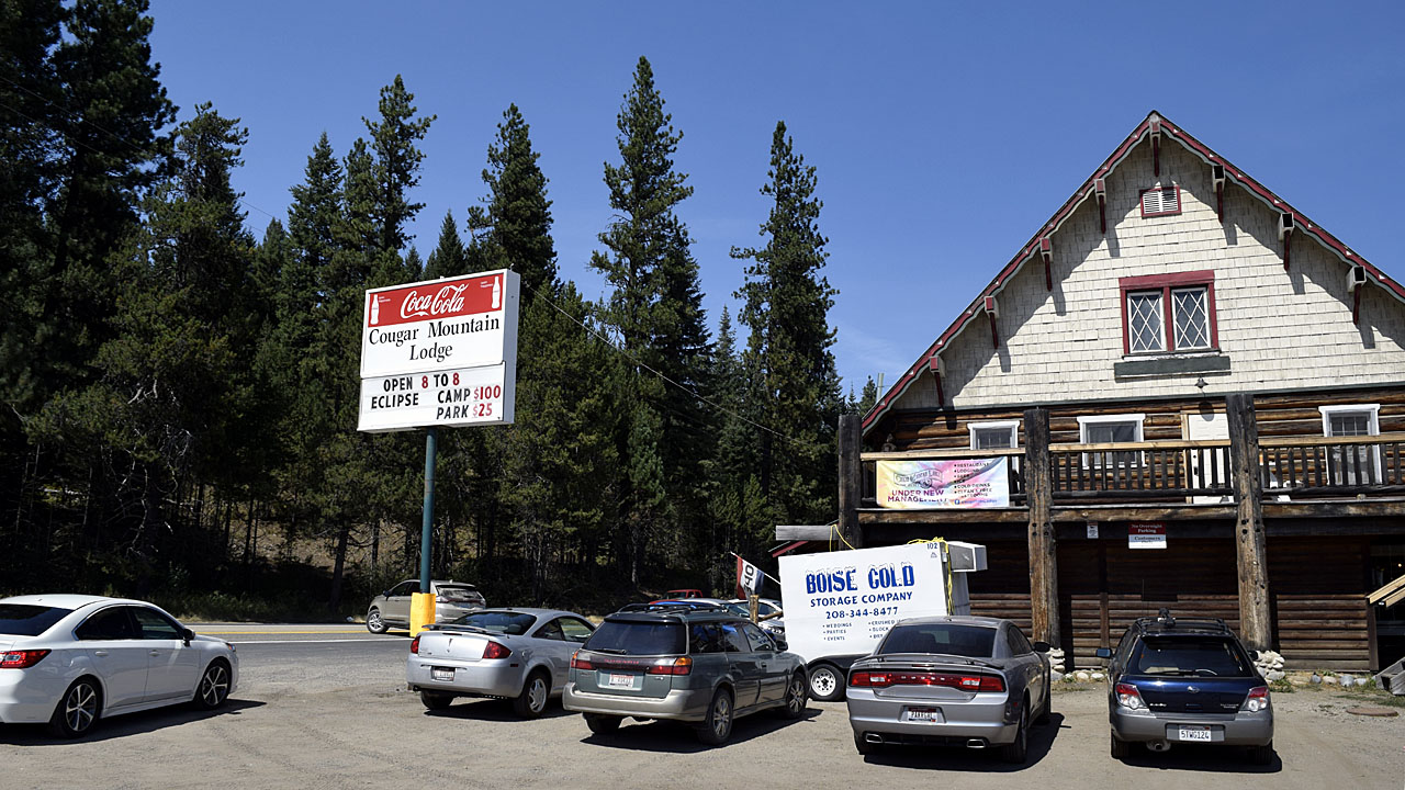
At Smith Ferry I took a road over the bridge and into the
mountains ($100 camp per day or total?) |
| Saturday When I came through Smith Ferry people were
beginning to mass around the large meadows by the Payette River. There was
a bridge over the river and after about 5 miles of dirt road I finally got
off of private land. I was aiming to get back into the Boise National
Forest but ended up in Murray Saddle on Idaho State Endowment Land. |
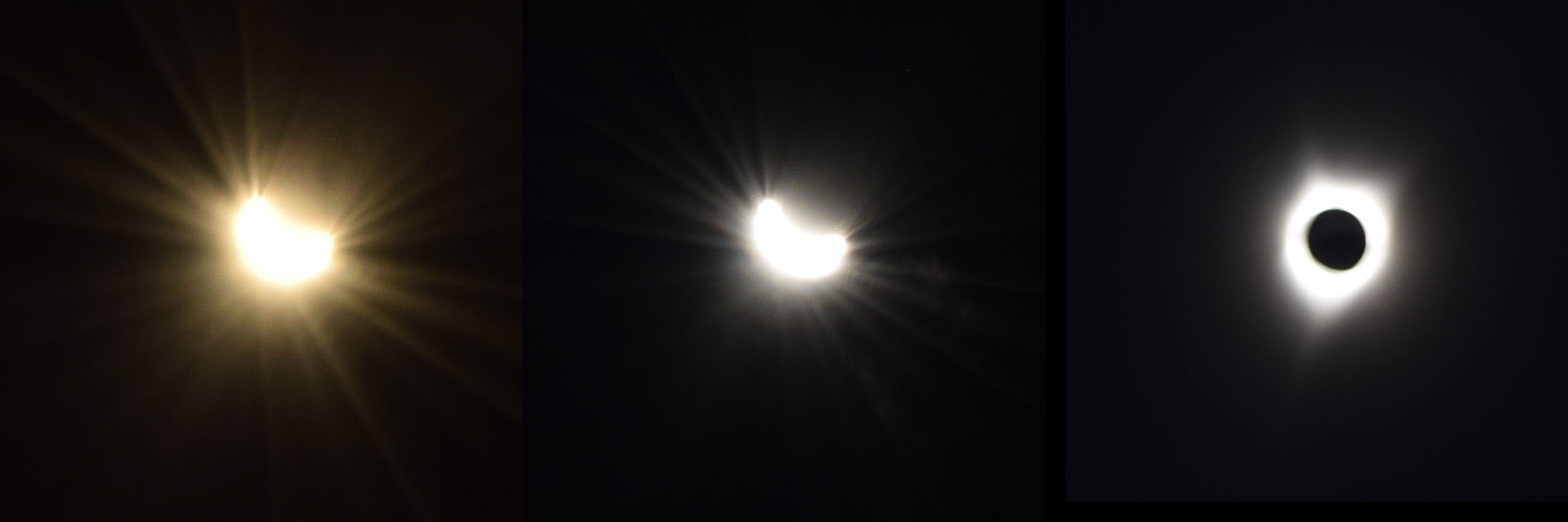 |
| I put the circular polarizing filter from my telephoto
lens on top of the one on my regular lens and tried to cross polarize them
as best I could. I also set the ev to -5 to further cut down the light
entering the camera. I wanted to do it to the telephoto but I couldn't get
the filter from the regular lens off the 58 to 55 mm adapter. I had
misjudged the point of totality and had wandered 100 feet or so from the
camera on the tripod. The light faded very quickly and I had to run back
to the camera. I snapped a couple pictures and realized I wouldn't need a
filter on the telephoto lens. By the time I got the lens and mounted it
the 2 minutes of totality was ending. I ended up with a nice picture
including solar flares on the re emerging sun. (Top photo) |
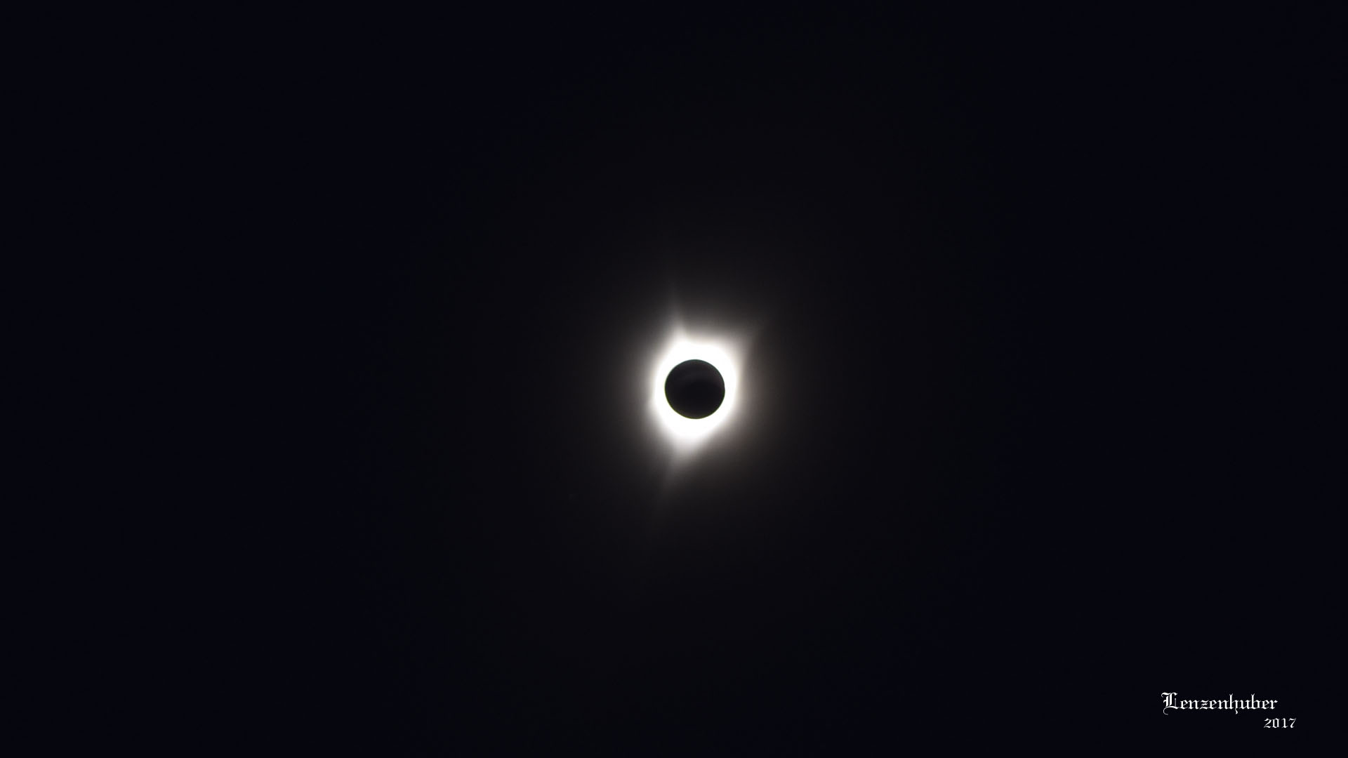 |
| Total eclipse of the sun |
| I had wandered about 100
feet from my tripod and camera when I realized the light had started to
really fade quickly. I had been monitoring it's progress by cross
polarizing the lenses I had popped out of and old pair of polarized sunglasses
but hadn't checked it for a while. It had taken about and hour since the
moon first started to darken the upper right corner of the sun. I ran back
to my camera, losing one sandal and kicking the other off along the way
to be able to run faster. After snapping a photo I decided I could
probably get pictures with my telephoto lens without a filter. It was in
the nearby Jeep but by the time I got it and mounted it on the camera I
was able to get one shot before the sun was too bright for it to work.
While grabbing the telephoto lens I was thinking if I needed to grab a
flash light but I knew I didn't have time and I could still see in the
very dim light. As the light faded it was towards the red side of the
spectrum. When the eclipse left totality it was as if someone had just
turned on an old fashioned fluorescent light. It was white and harsh and
almost instant instead of working into it more gradually as it had as it
faded. It felt like being in the spotlight. After a few seconds it began
to return to normal sunlight which got brighter quickly. I had been too
busy to notice but the temperature had dropped about fifteen degrees Fahrenheit
almost instantly as the light went out and all the birds and insects
seemed to go silent. A woman I talked to said she was wearing a halter top
and really noticed the temperature change and also said the birds flew one
way an then the other. I assume at start and end of totality. I remained
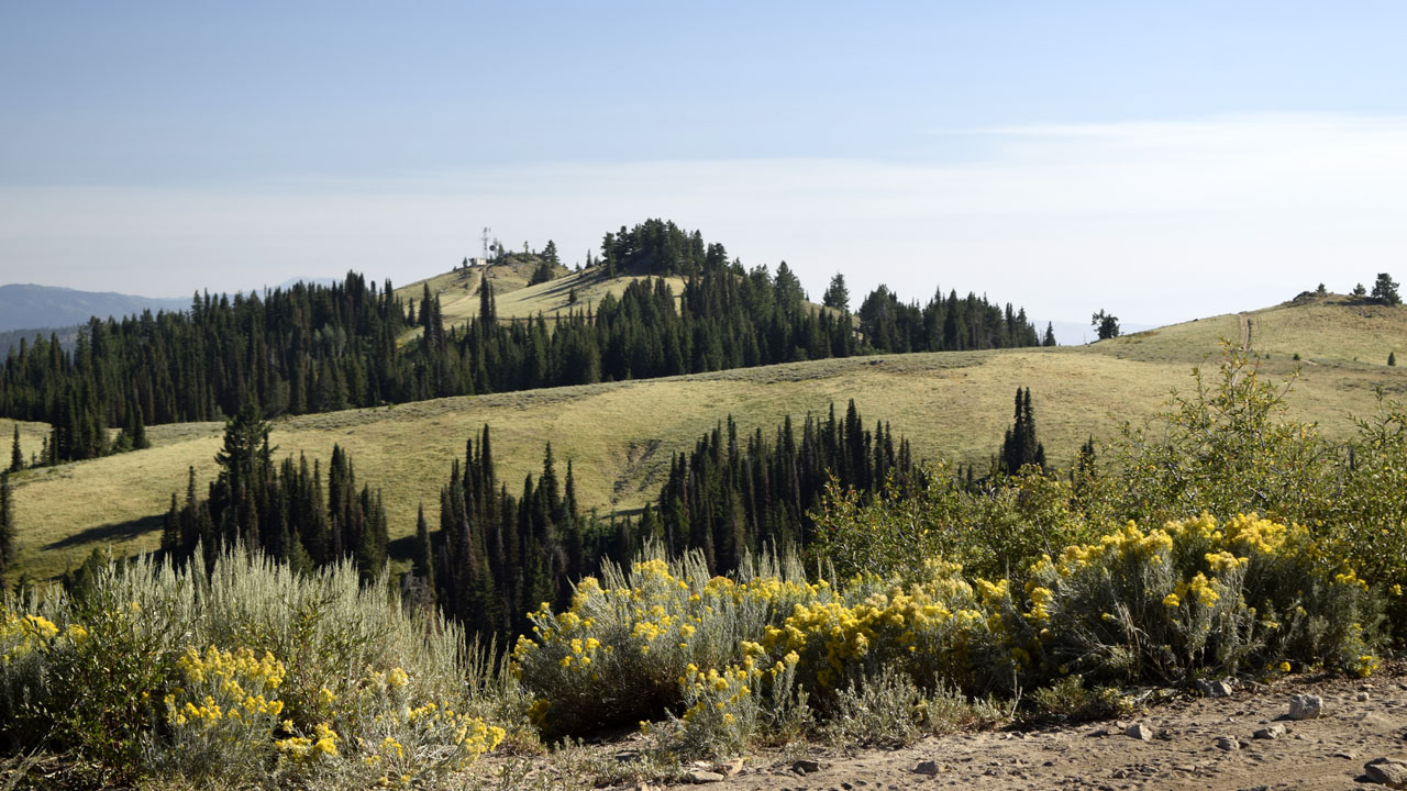
at my camp in the saddle while most the people in my area were on the
mountain top with a good panoramic view. I planned on taking pictures of
the eclipse not the darkened landscape which would just look like a low
light shot. Besides there were other dogs on the summit and I didn't want
the distraction. |
 |
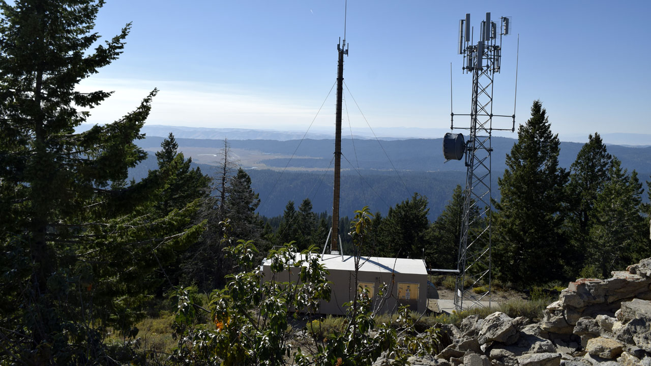 |
| The were two electronic facility areas on the
summit ridge of Packer John Mountain |
| I took a 6 mile round trip hike on Sunday from
my camp in Murray Saddle to the summit of Packer John Mountain.
There were a lot of people setting up camps or just checking out the area
for Monday's eclipse. I ran into a guy I used to work with who is also
from Ridgecrest. (971 miles to run into someone I haven't seen in 15 years
or more) I also ran into the Mexican sheepherder and his horse and dog. He
kept calling my dog Mya, Lobo and that was about the extent of our
conversation. Monday night after everyone had left I moved my camp a
quarter mile or so into the shade. The sheep were pretty much close to my
camps and the herder seemed to like to fire off a gun which really bothers
my dog. Monday night after he fired a couple of shots I let her sleep in
the Jeep (I didn't want him shooting the lobo) |
| Getting to the eclipse |
| California |
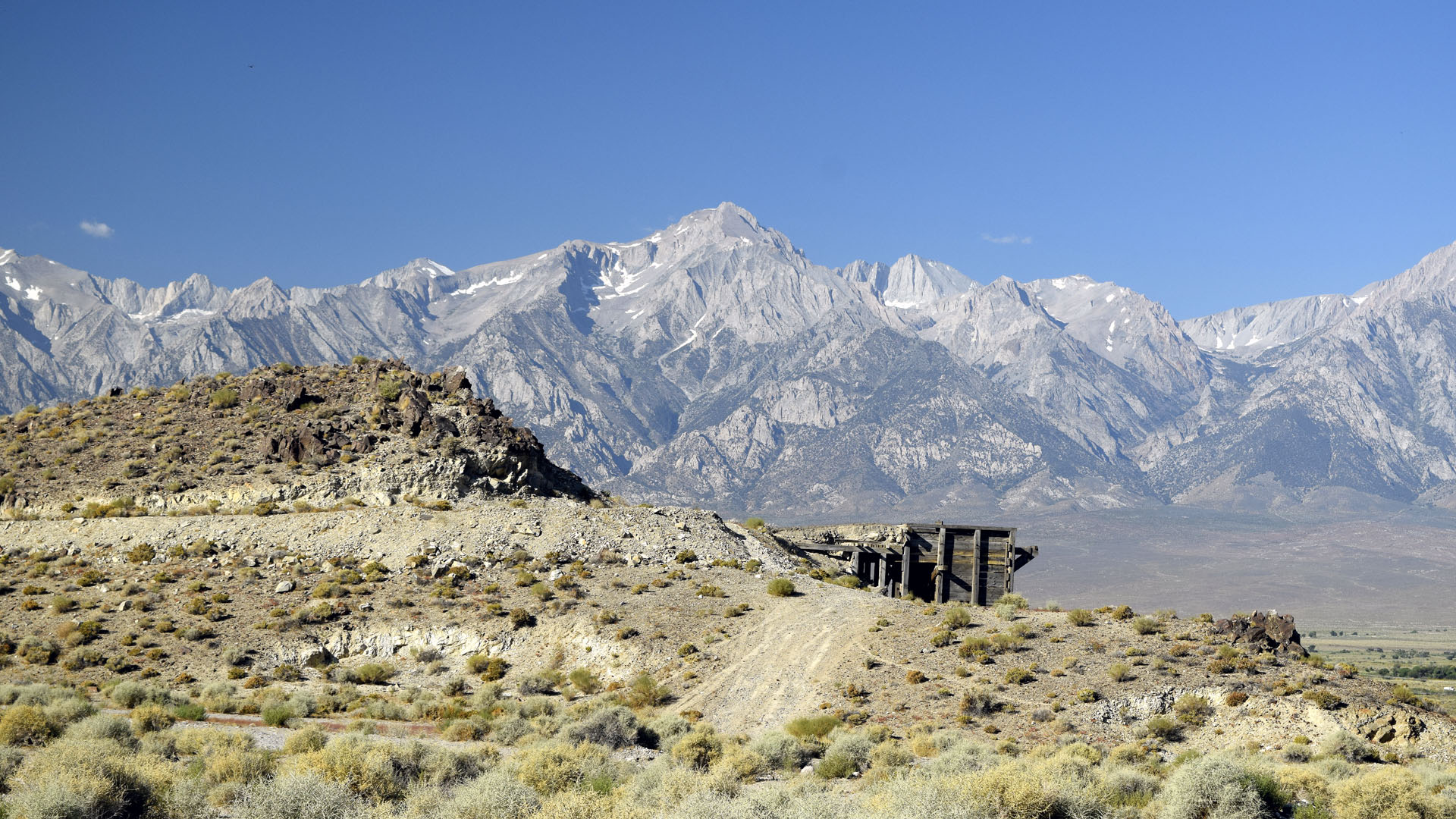 |
| Even after record snowfall by mid August the Eastern Escarpment of the
Sierra are almost void of snow as viewed from near my first nights camp.
Mazourka Rd outside Independence on US 395 |
| Nevada |
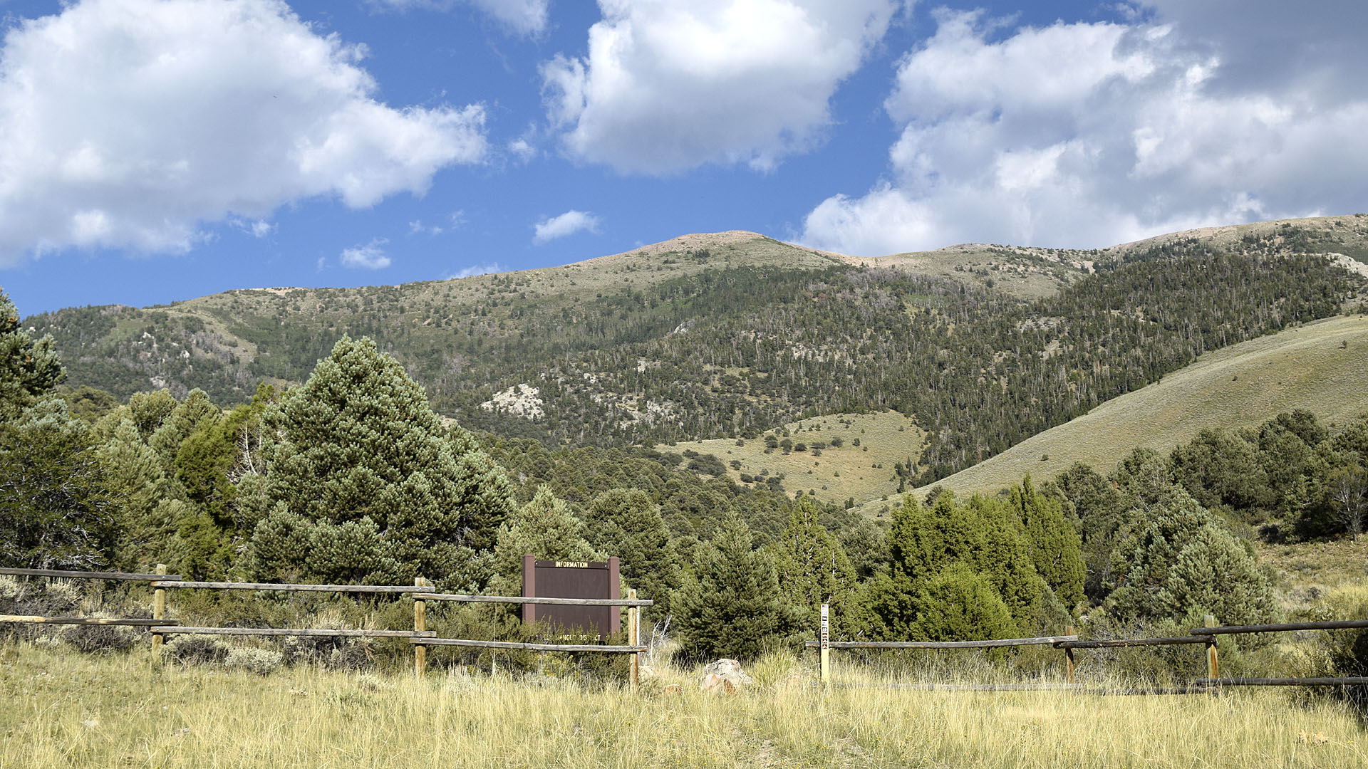 |
| A wilderness boundary stopped me from getting farther above Ely Nevada
at my second camp |
 |
| Big Horn Sheep along the road in Nevada |
|
| Idaho |
 |
 |
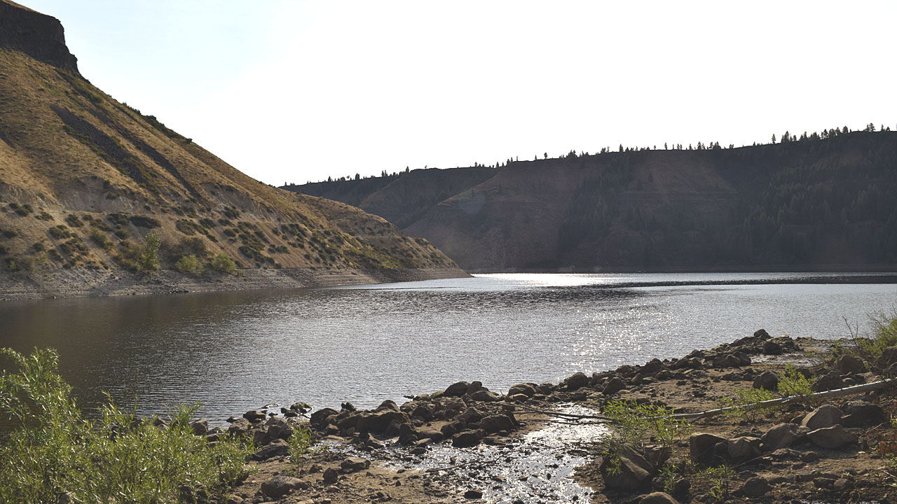
| Anderson Dam Reservoir camp view (3rd nights camp) |
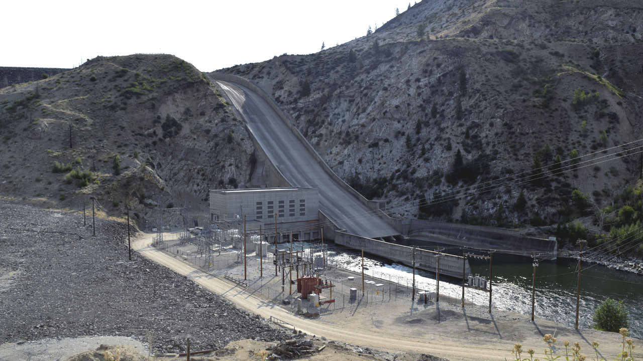
Anderson Dam Reservoir Dam overflow (I need a skateboard or
should have brought my bicycle) |
| Anderson Dam Reservoir was very popular on a
Friday night. Ended up with a couple with a small dog not far from me. In
the dark pirates tried to land at my site by boat. I had to turn a light
on the persuade them to take their boat somewhere else. The was a lot of
traffic on the dirt road along the one side of the lake. |
| Sawtooth Range (Idaho) |
| Locals from Mc Call convinced me I had to go to
the Sawtooth Range and Sun Valley since I was so close. |
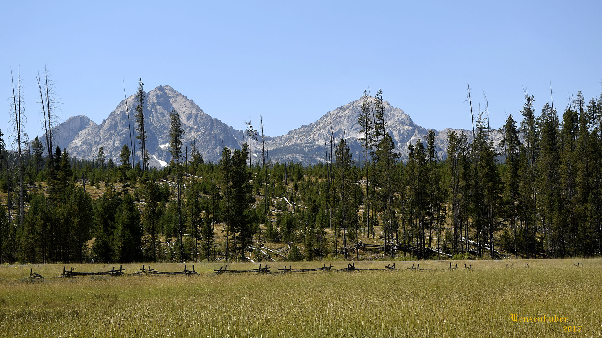 |
| A part of the Sawtooth Range (The rocky peaks
above the tree line reminded me of a miniature high Sierra. The range
stretches 43 miles and reaches an altitude of 10,751 feet) Mya and I took
a three hour hike into the wilderness to Hell Roaring Lake. I had to fill
out a simple wilderness permit at the trailhead on the honor system. A
luxury California no longer seems to affords it's hikers. |
 |
 |
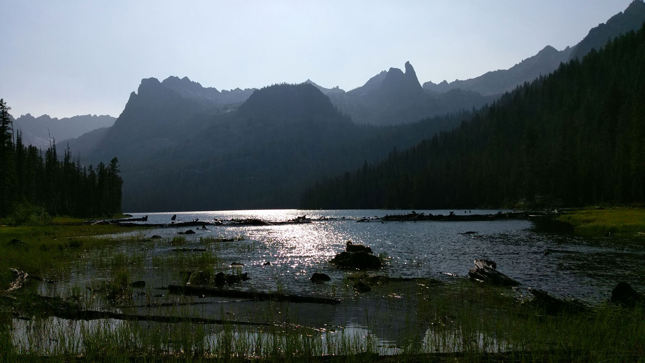
| Hell Roaring Lake (Finger of Fate right
of center) |
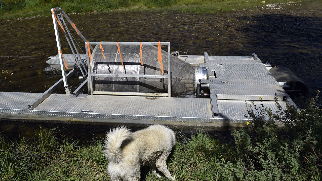
A fish catching contraption on the Salmon River |
| Unfortunately by the time I hiked
the two or three miles to Hell
Roaring Lake the sun was in the wrong position for good pictures. The next
day the visibility was even worse because of a fire over in Oregon. The
range also reminded me of much of the eastern Sierra with a sparse dry undergrowth. The
area up the Payette River where I had seen the eclipse had a much lusher
vegetation more typical of Northwestern California. People I had ran into
on the rocky four wheel route into the trailhead had raved about the hike.
I have taken much more scenic hikes but I did appreciate the route stayed
in the forest out of the sun and the view at the lake was rewarding
even if not as good as it would have been with morning sun. |
| Dunderburg Peak |
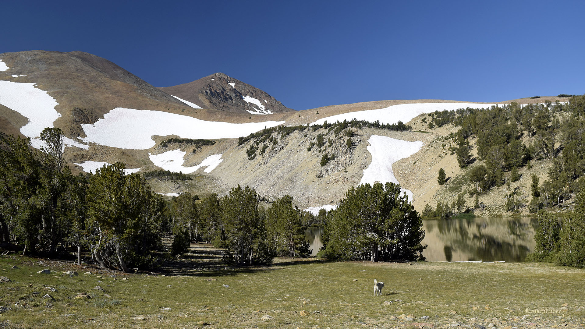 |
| I had taken a route home that put me on US395
in Oregon so I could travel some of the road I hadn't seen before
especially up around Susanville and Alturas. After six or seven hours of
driving, I decided to let the final four hours wait until Friday. I camped
about 9200' on the Dunderburg Meadow Road where the temps were nice
and cool. Friday morning I took the Jeep up to over 10,000' towards
Kavanaugh Ridge to find Mya a snow bank to roll in. She rolled in
the snow and waded in the small lake but still got a bath when we got
home. |
| Back to recently |


