| Back to Recently |
| Dunderberg Peak September
12-20, 2017 |
 |
| Dunderberg
Peak |
| Mazourka Canyon |
 |
 |
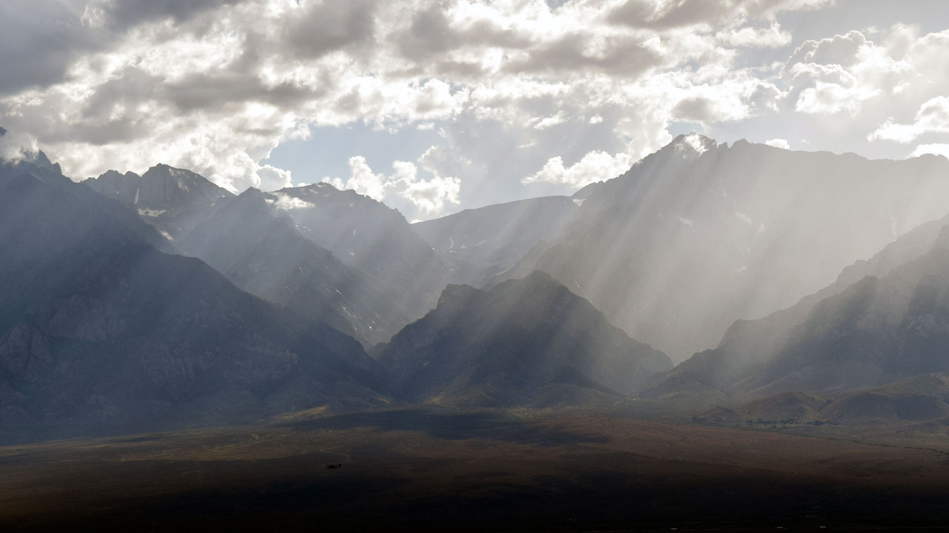
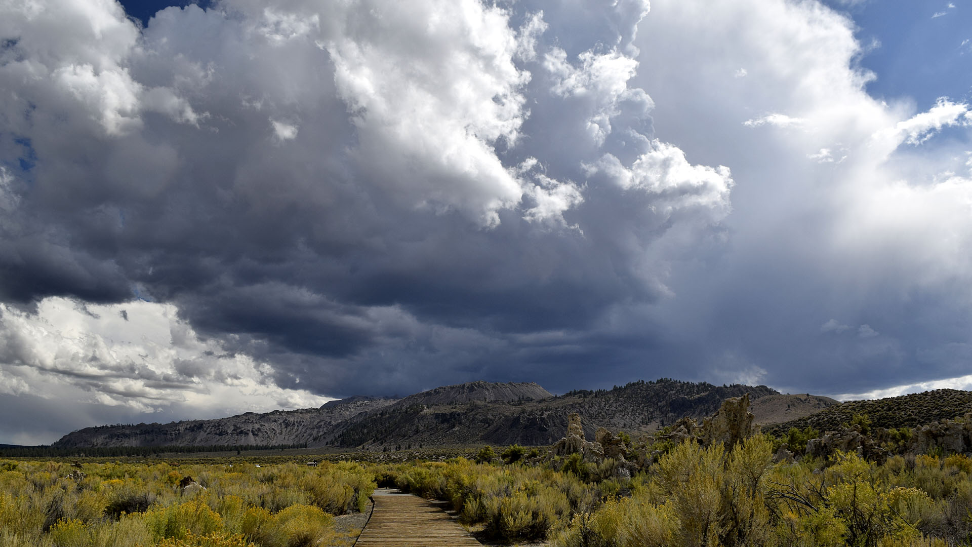
| Storm clouds and shafts of light from
Mazourka Camp on my way north |
 |
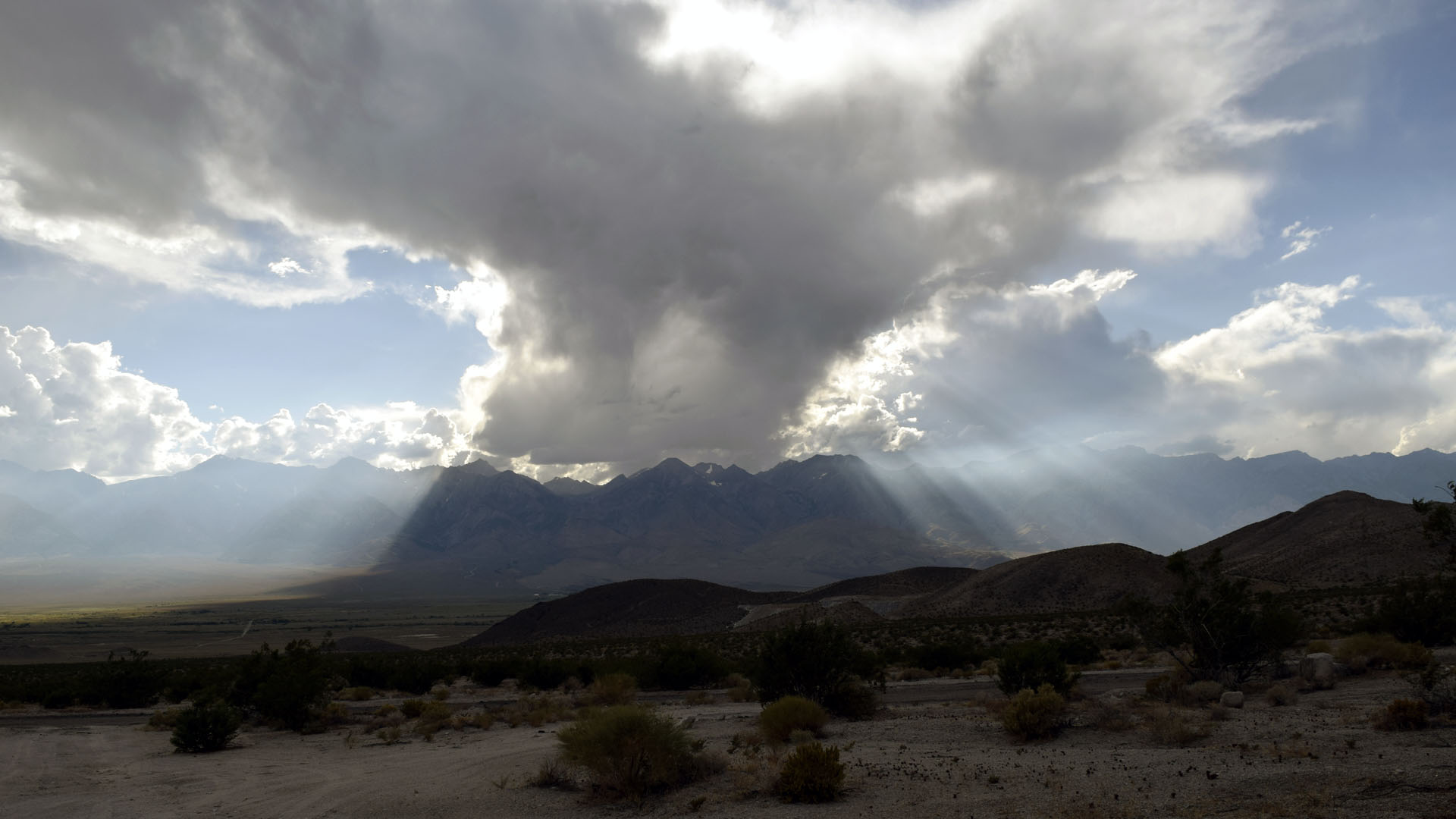
| Clear sky heading south |
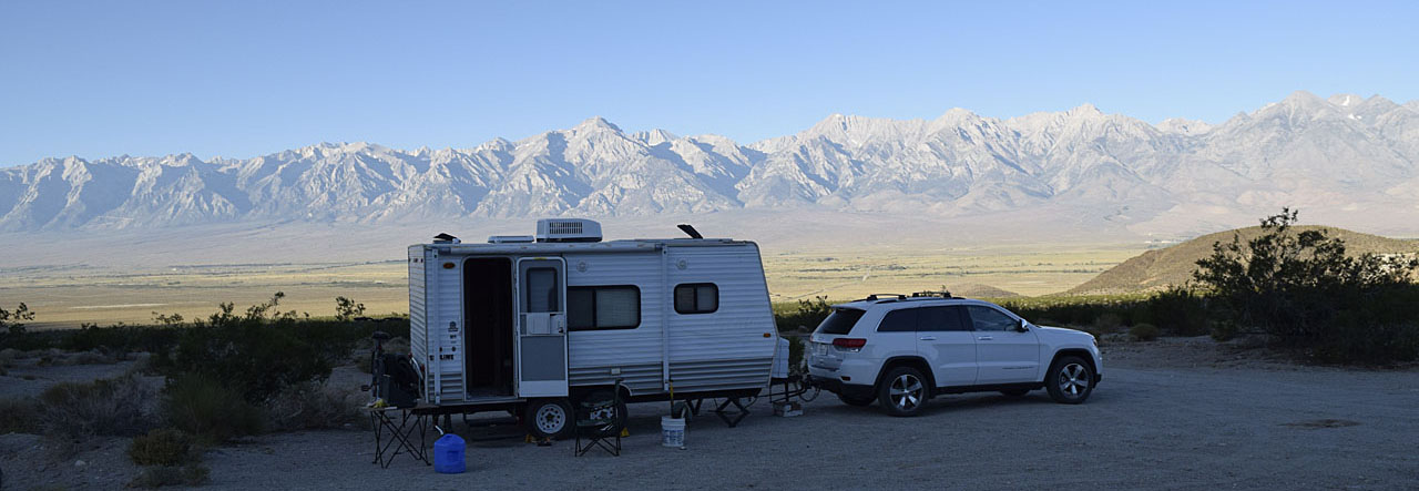
| My first and last camp of the trip was my
usual Mazourka Canyon Road camp. At
4000 feet in elevation it was not as cool in temperature as my other
camps which ranged from 6000 to 9300 feet. I showed up in the late afternoon or evening both
times so the temperature was fairly comfortable in the low 80s. |
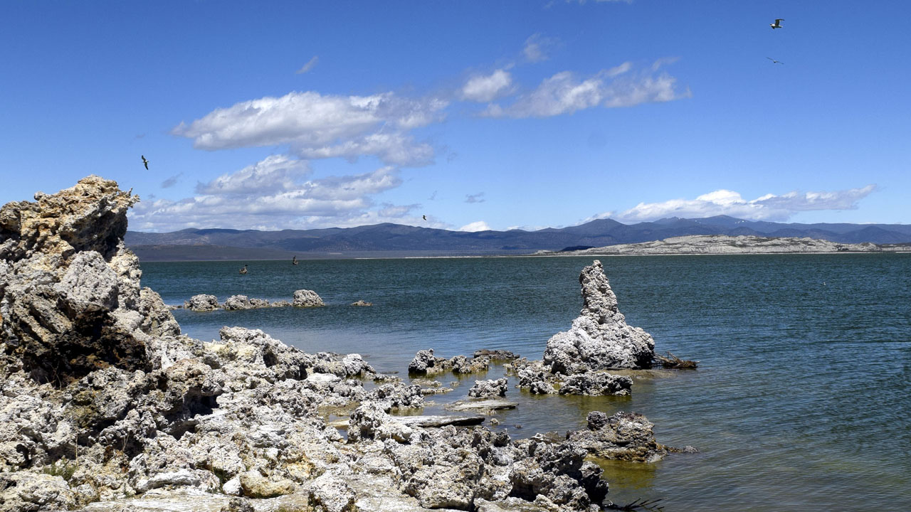
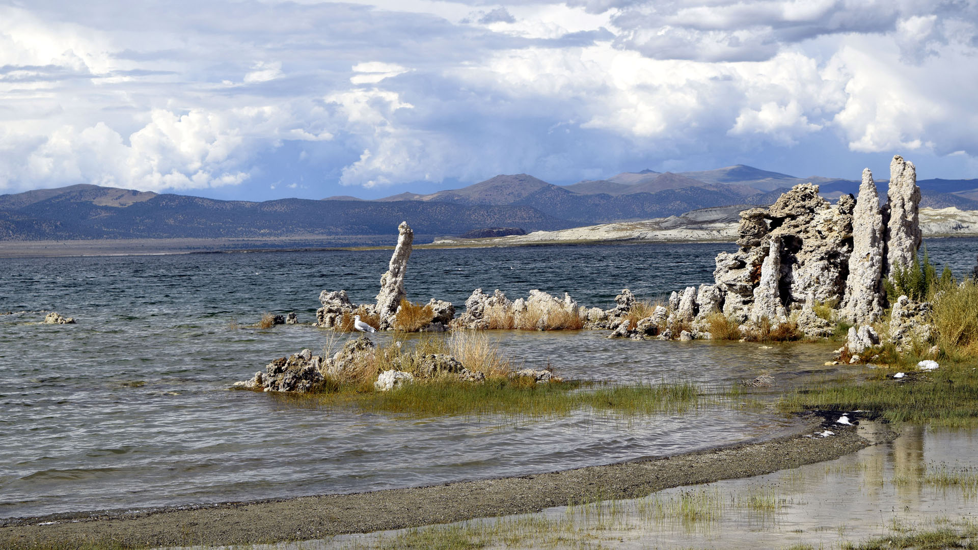
| Mono Lake |
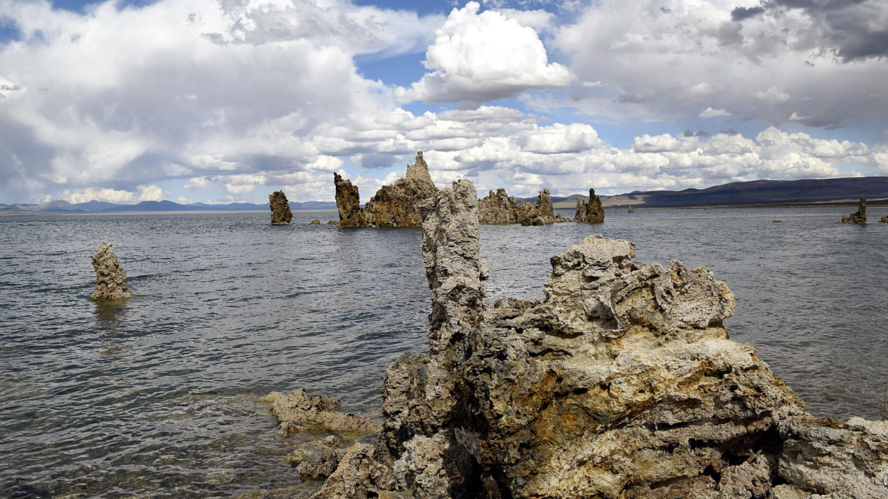 |
| The lake is up over three feet since I last
saw it earlier this year. (Formation on the left is
my measuring stick) |
 |
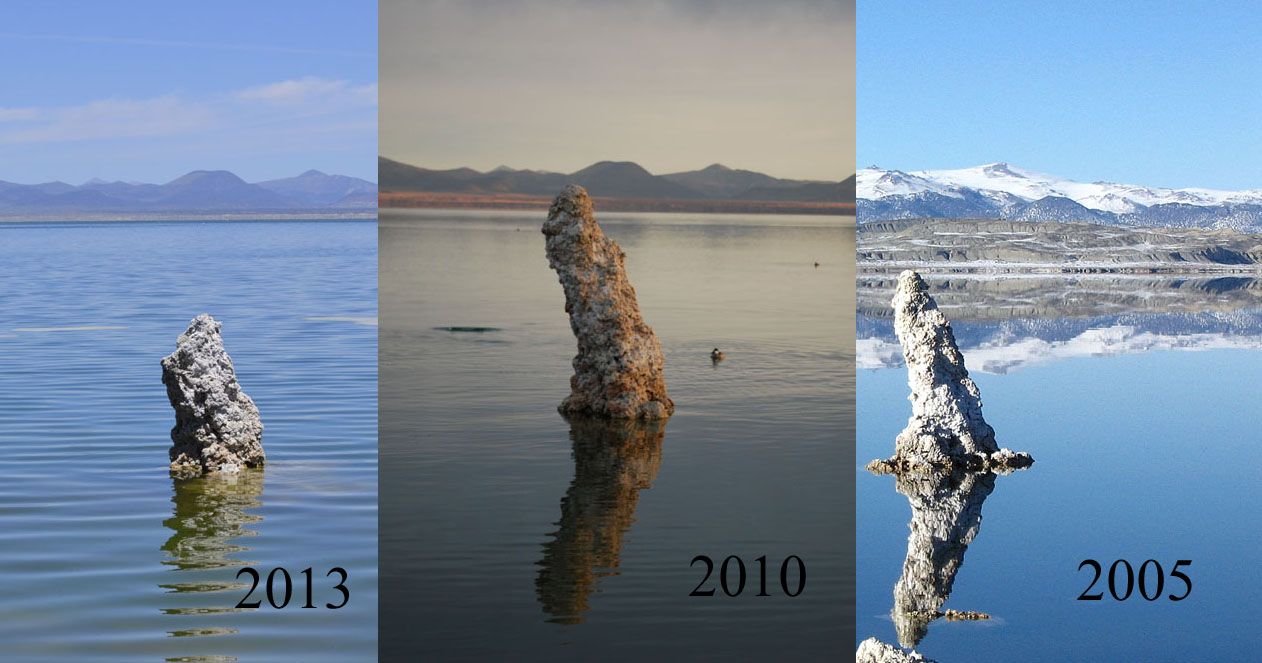 |
| My measuring stick in June (3 months
previously about 6' exposed) |
|
 |
 |
| Although 200 miles from the ocean the two Mono Lake islands are sea gull
rookeries. |
Mono Craters (North Americas youngest
mountain range) |
| I camped twice near Mono Lake at the same
site off Rush Creek Road. Rush Creek was still too high to ford so to
get to the Tufa formations I used Test Site Road. The second time I got
inundated by flying ants. I took a while to clean them out of my
bathroom vent area. |
| Dunderberg
Peak |
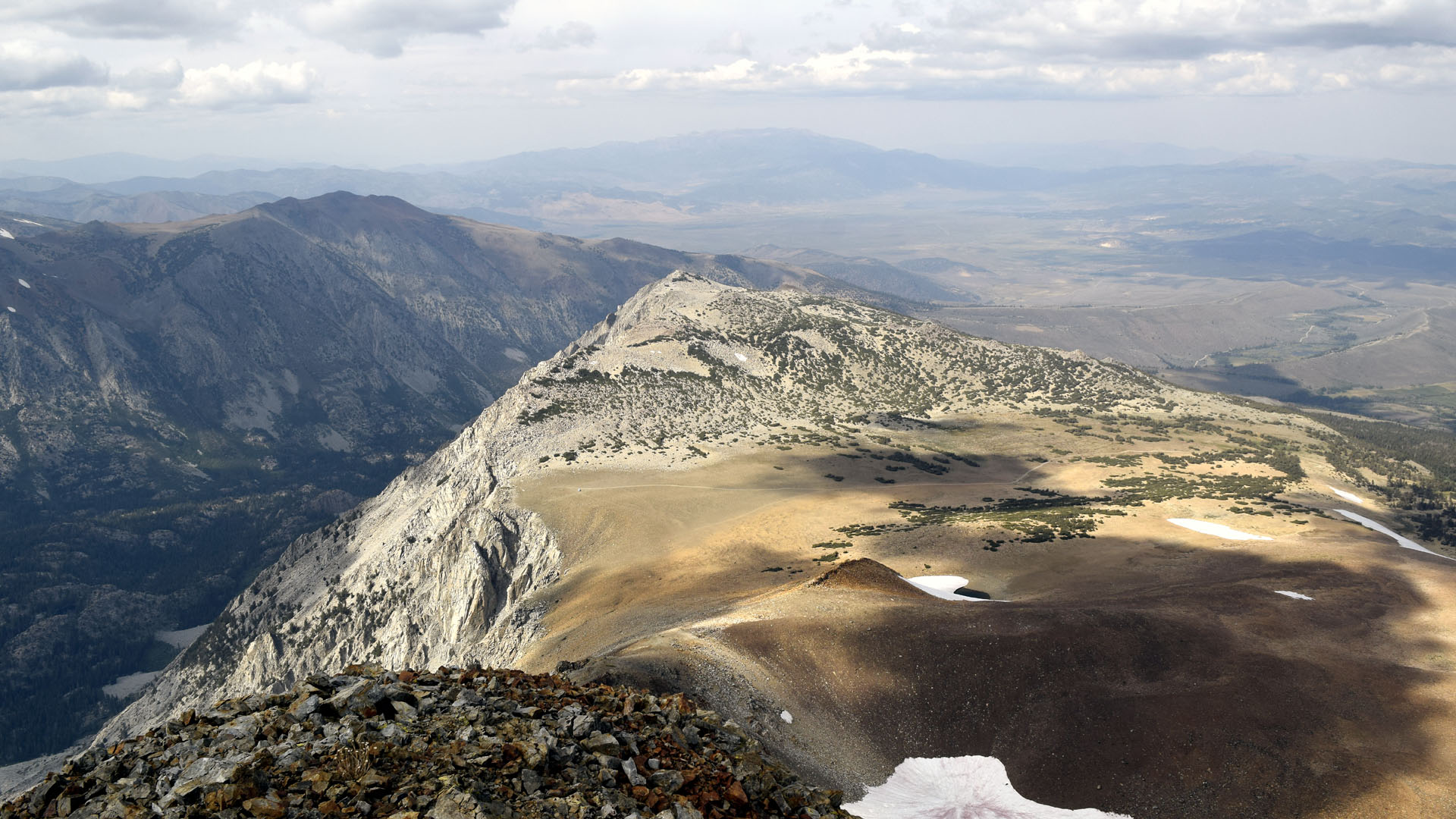 |
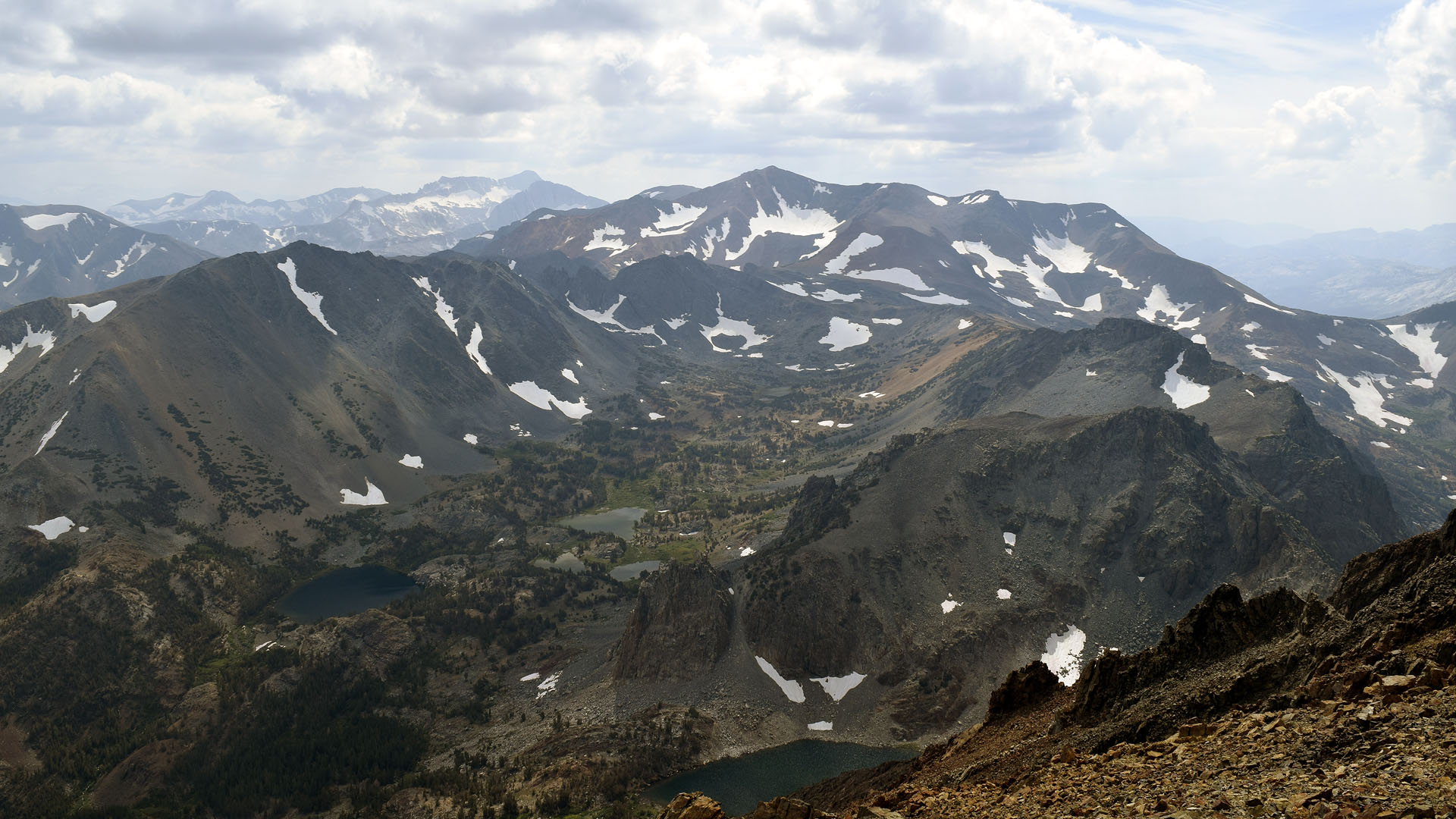
| Kavanaugh Ridge from the summit of Dunderberg
Peak |
 |
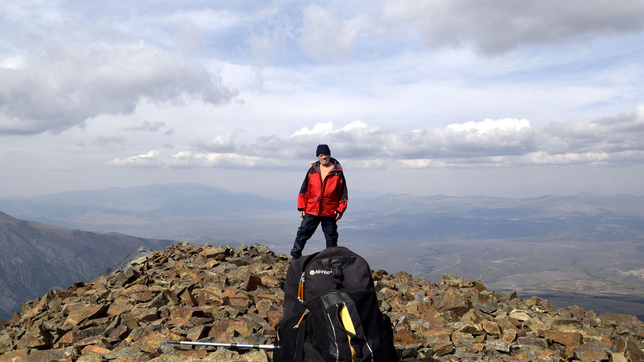 |
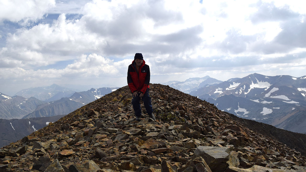
| About the only time I take pictures of myself are on
mountain
summits |
Dunderberg Peak 12,374' |
| About two miles of the Kavanaugh Ridge
Jeep trail brings you from Dunderberg Meadows Road at about 9300' to a
dead end at about 11,000 feet and a beautiful view into the Hoover
Wilderness. About four hours of huff and puff brought me the final two miles to the summit. There appeared to be a more direct shorter route
but I decided on the safer route since I was alone. I reached the summit
on September 16th. The last two summit log entries were on the 9th and
the 12th of September, so if I had a mishap it might be a while before
anyone found the body. There were six off road vehicles leaving the end
of the road when I got there. Most the traffic is four wheelers not
climbers. Recently doctors decided I have COPD so I decided to check it
out. Six hours of aerobics at over 11,000 feet, seems I still have
lungs. I didn't bring my dog Mya because I was worried about her making
the summit. I think she may have been able to make it with the route I
took but it turned out that deer hunting season started when I was
there. One of the hunters told me he had gotten a deer in the area last
season and someone had shot two coyotes. Why they were shooting coyotes
I don't know but many people are convinced my husky is part wolf or
coyote. Glad I didn't bring her. Although hunters don't go up where I go
they were shooting a lot one morning around my camp. |
 |
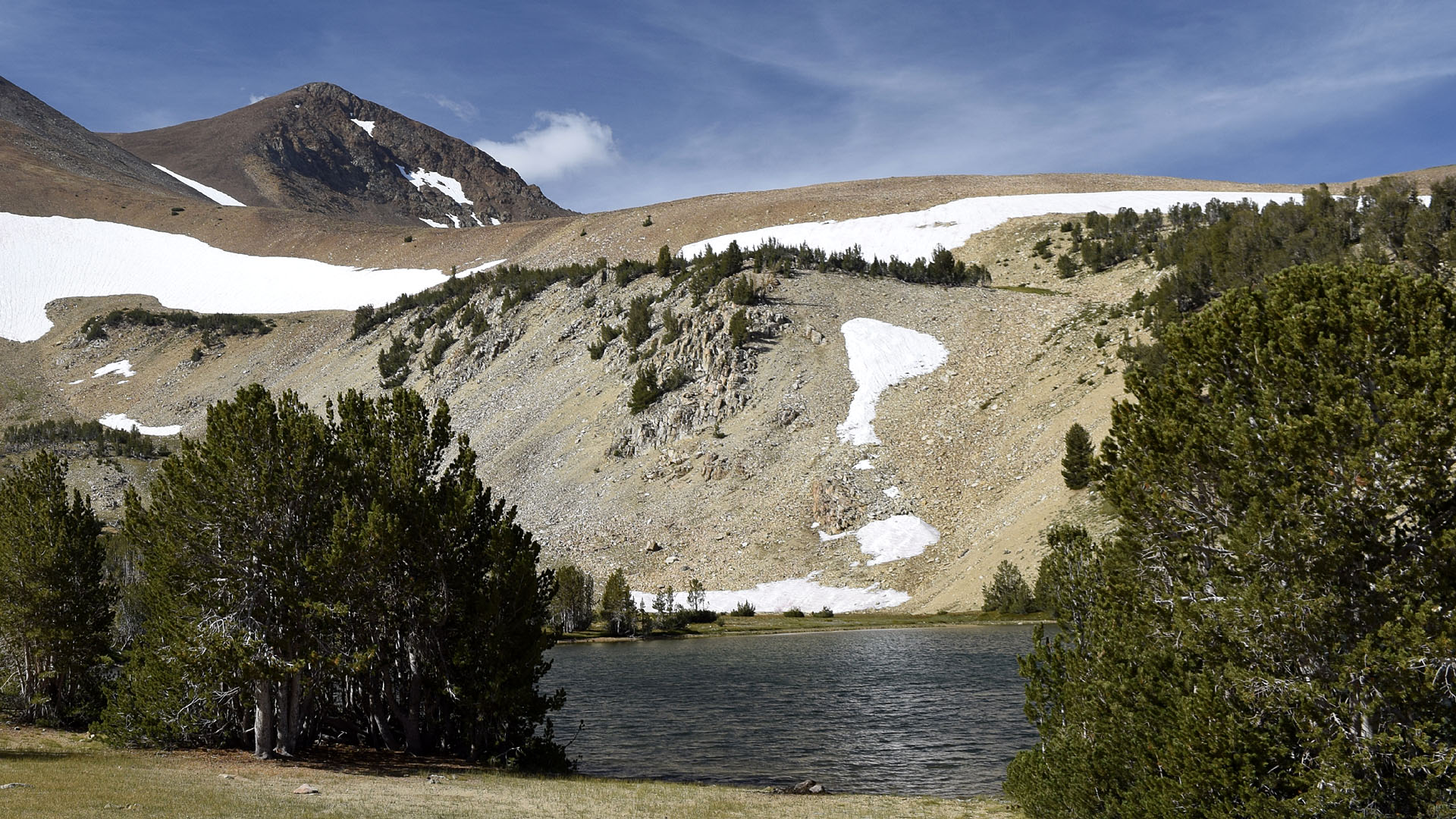
| A chain of lakes stretching
out towards Excelsior Mountain from the saddle on Dunderberg Peak |
| Gibbs Lake |
 |
| Gibbs Lake looking towards Mount Dana (far
peak) The foreground peak is actually the end of the Dana Plateau. |
| I took a five hour hike coving six miles
round trip to Gibbs Lake at about 9500 feet between Mount Gibbs and
Mount Dana. Trailhead was at the end of Upper Horse Meadow at about 8000
feet. There was a stiff wind at the lake that the forested trail had
shielded me from. When I got back to the trailer the wind out in the
open was enough to convince me to pack up and move to Obsidian Dome Road
where I was again sheltered by the forest. Besides Gibbs Lake I also
hiked from the Mono Pass trailhead in Yosemite towards Mt Dana. I'm
trying to figure the best approach to climb the peak. Gibbs Lake isn't
it. |
| Back to Recently |