| Back to Recently |
| Nevada Ranges and the Sierra
Nevada July 13-19, 2016 |
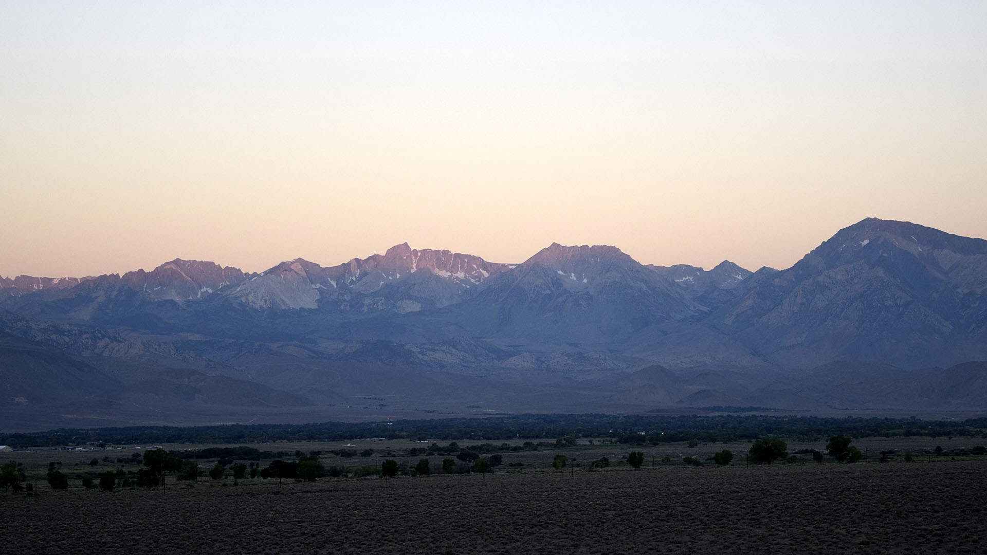 |
| Sunrise on 13,886' Mt Humphreys and the the Sierra from Dry Lake Springs
above Laws near Bishop (Site of my first night's camp on
this trip) |
| It was time to get out of the heat
again already. The
original goal was Idaho but was modified by the FOB for the Grand
Cherokee acting funny and me not carrying a spare. Would hate to
not be able to start the vehicle so turned back in Oregon at the
Owyhee River getting close to the Idaho border on 95. I also planned to
get to Manhattan which we did. I always wanted to check out the mountain
ranges north of Tonopah towards US50. Managed to check out some of the
Santa Rosa Range near the northern border of Nevada. |
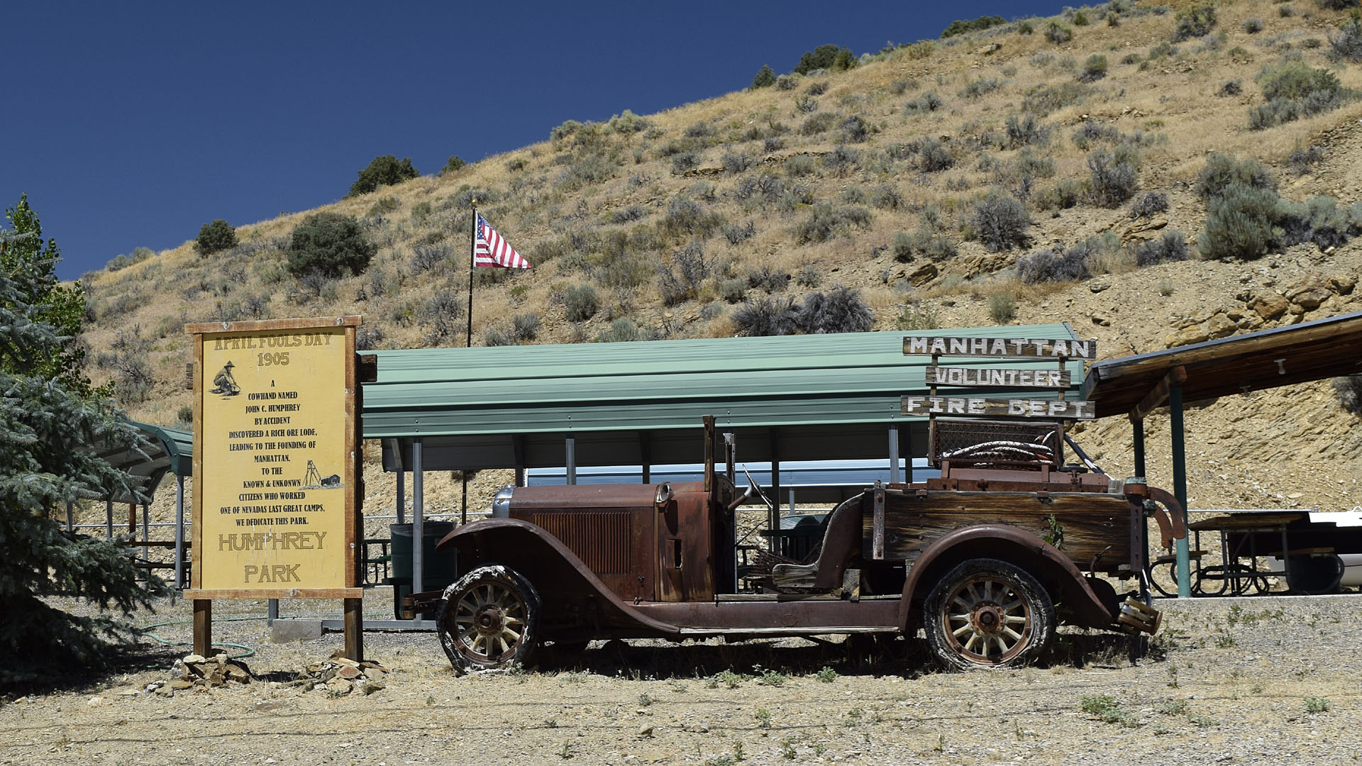
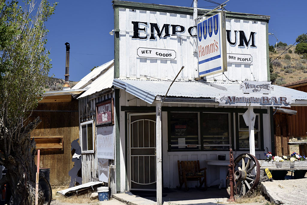
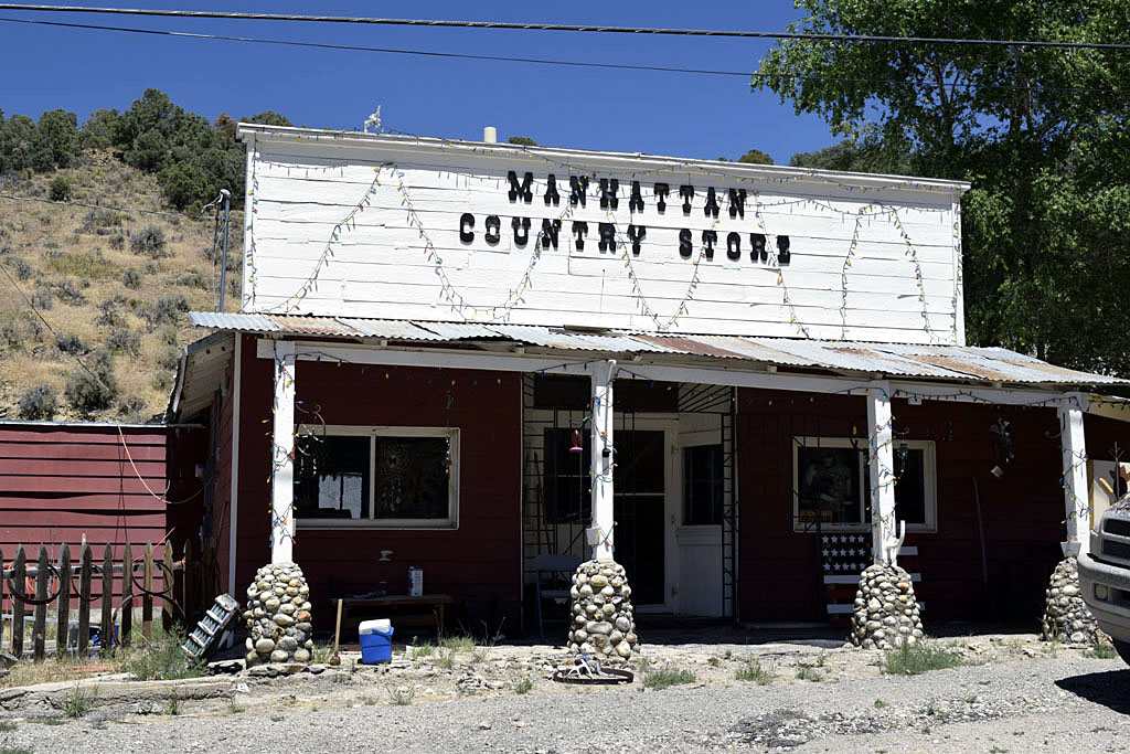
| Manhattan |
 |
| Mid town Manhattan |
 |
 |
| There are three
north/south running mountain ranges north of Tonopah Nevada. Manhattan
is at the south end of the middle one, the Toquima Range. Bald Mountain
at 9274' is the highest point in the range not far from Manhattan and
Belmont. The road from Nevada 376 to Manhattan is paved but turns into
dirt after Manhattan. (I also went by Wall Street on my way to
Manhattan. Wall Street is in Independence on US395.) |
| Kingston |
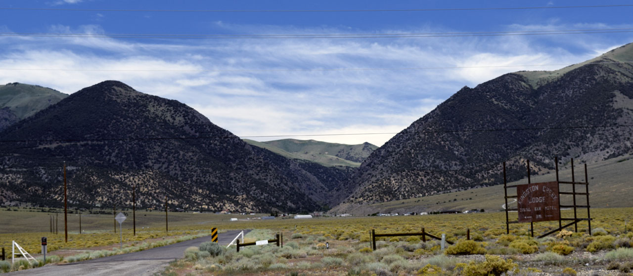 |
| Kingston is at the mouth of the
Kingston Creek canyon which
has a non paved road that takes you 20 or 30 miles across the
Toiyabe Range and north to
Austin. 11,474' Bunker Hill is the highest point in the range and
is not far from Kingston. Unfortunately I got a flat tire and was unable
to take the road |
 |
 |
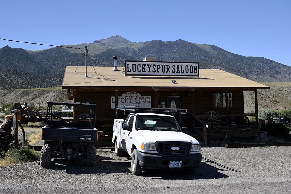
| After changing a flat tire I had a few at the
local watering hole. Mya was invited in. Stayed in the free federal
campground a few miles up the road as I had no spare so I didn't want to go
too far off the pavement. The next morning I went back south to Carver to find out
that my tire wasn't repairable and picked up a poor condition spare. |
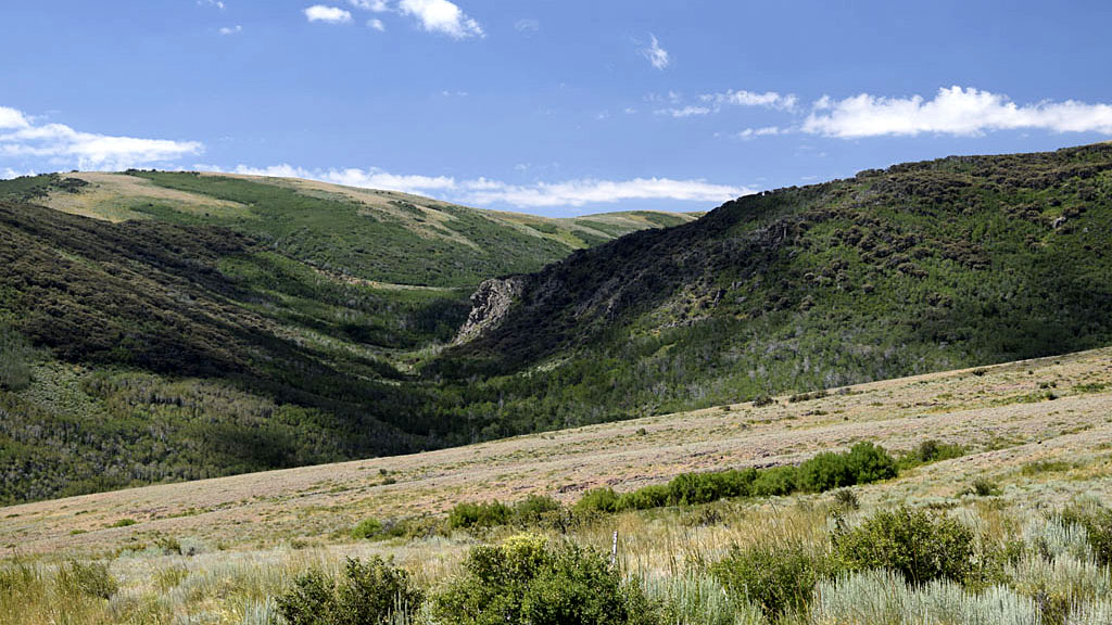
| Santa Rosa Range |
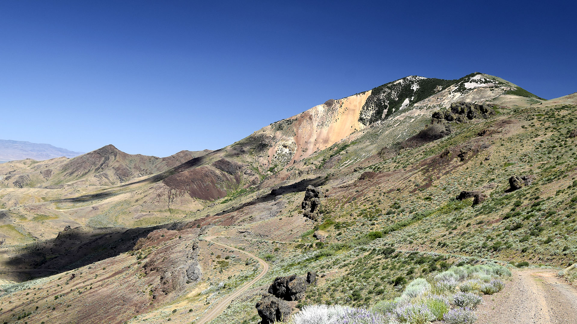 |
| One of the switch backs working your way up
to Windy Gap. The narrow dirt road climbs up about 3000' above US 95 and
it amazed me it was shown on a 1999 Rand McNally road atlas. Definitely
not traveled much. |
 |
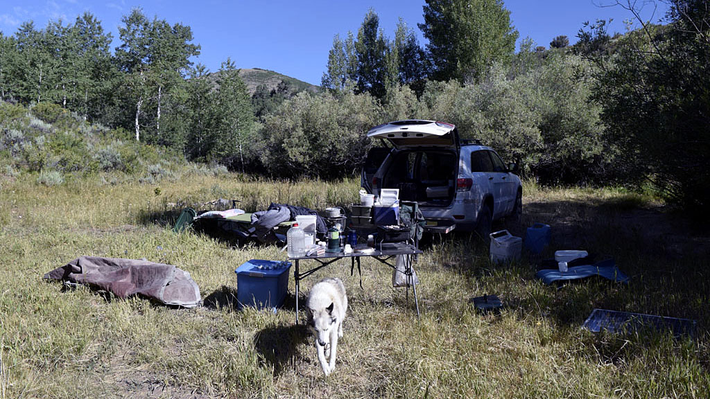 |
| Humbolt National Forest seemed more
like Humbolt National Grasslands to me. I did manage to find some trees
to camp in, mostly Aspen. I had to travel where the vegetation in the
middle of the road was almost hood high in spots. Camp was a round
7,000' in elevation and got down to 32F for a low at night. |
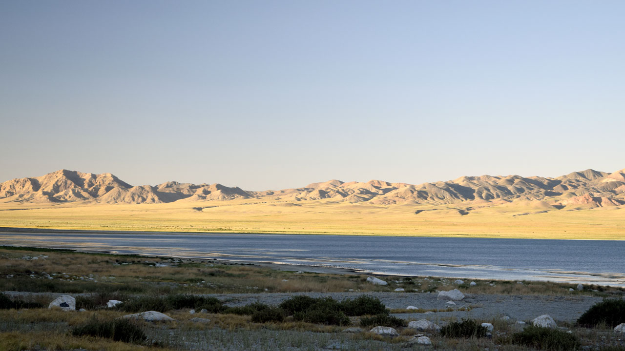
| Walker Lake |
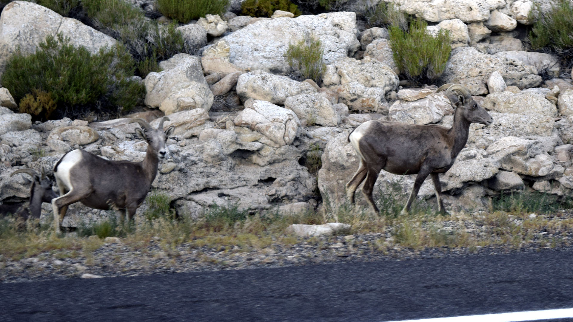 |
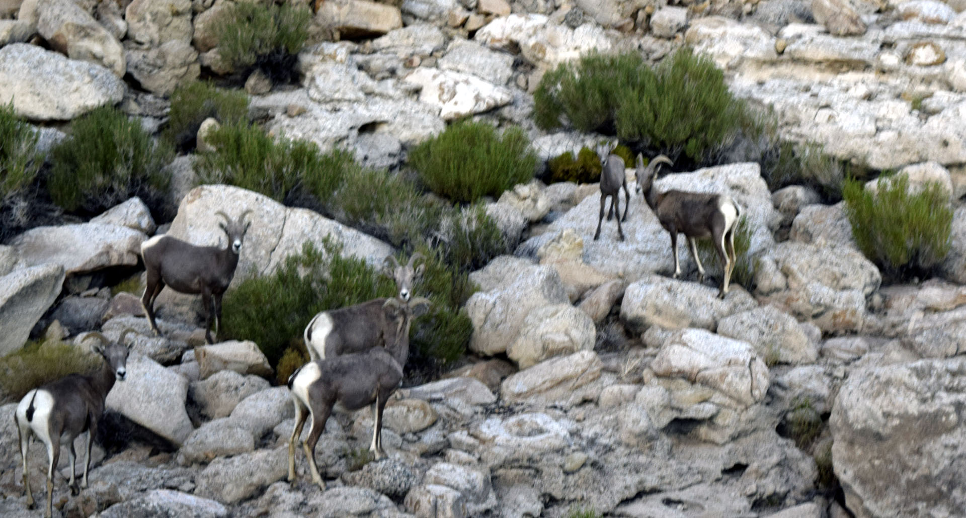
| For the second time in
my life I saw some wild bighorn sheep. (I saw
some ewe and lambs in Yellowstone in the early 90s) They appeared
to be female and were squeezed between the uphill cliffs and the road along
side Walker Lake north of Walker Lake (town) on US 95. They claim
Sierra Bighorn only live in the Sierra, these were either lost or
Mountain Bighorn. Actually I'm not sure if the sheep know how to read
maps or follow their supposed restrictions, the Sierra were about 35
miles to the west of where I saw them. |
 |
 |
| There are several isolated Walker Lake camping beaches
along highway 95 |
| Dunderberg |
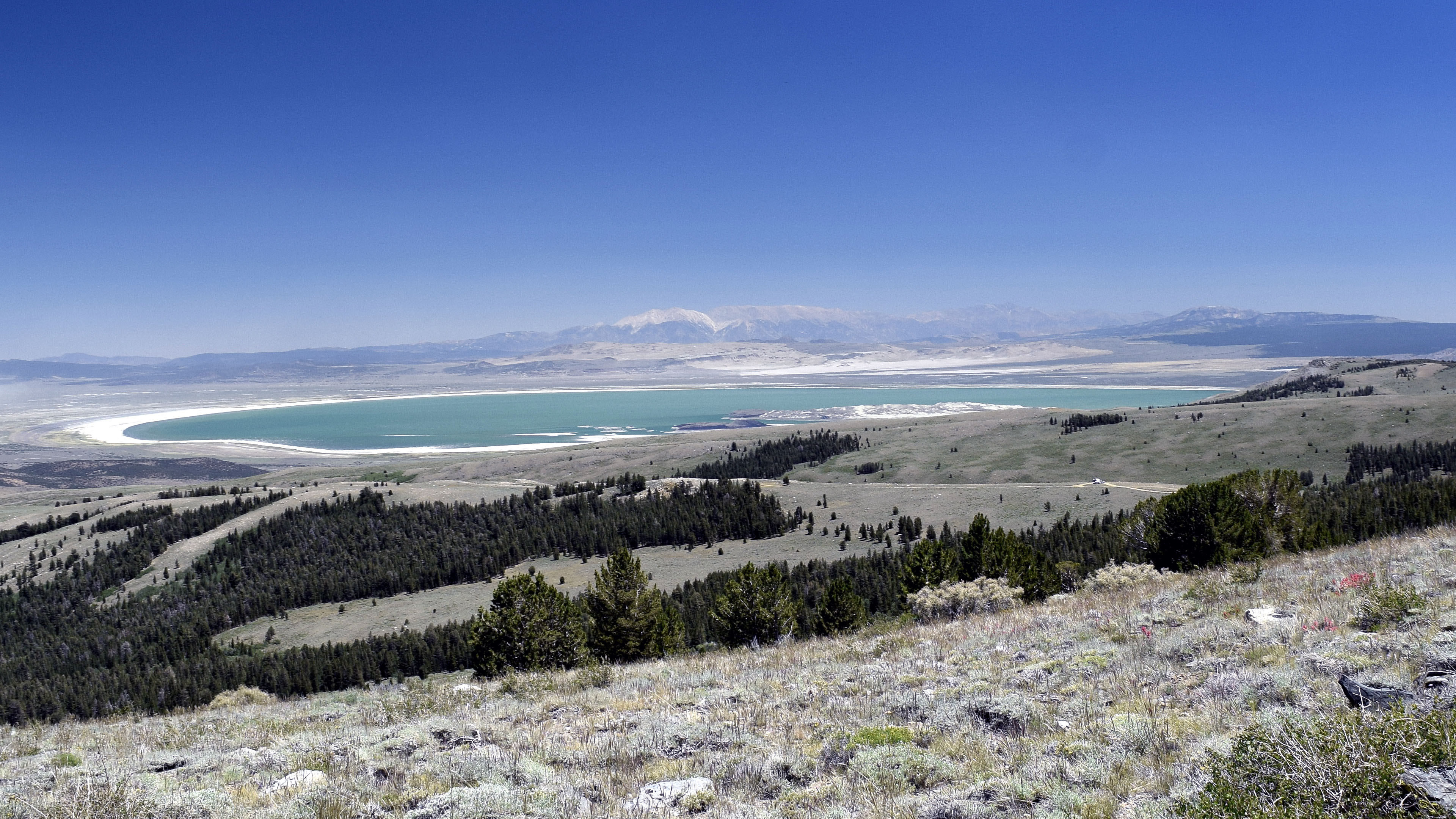 |
| Mono Lake with distant White Mountains |
 |
 |
| Bodie from my camp area on the side of Dunderberg Peak |
Dunderberg Peak from camp area. (I've
climbed the two closer peaks but not the farther Dunderberg) |
| I Took a hike with Mya
Monday morning. We went up to the snow bank that is blocking the way to
Kavanaugh Ridge. About a mile and a half each way with about an
eight hundred foot elevation gain to about 10'1120 feet. Kavanaugh Ridge
is about 11'000' with camp about 9350'. |
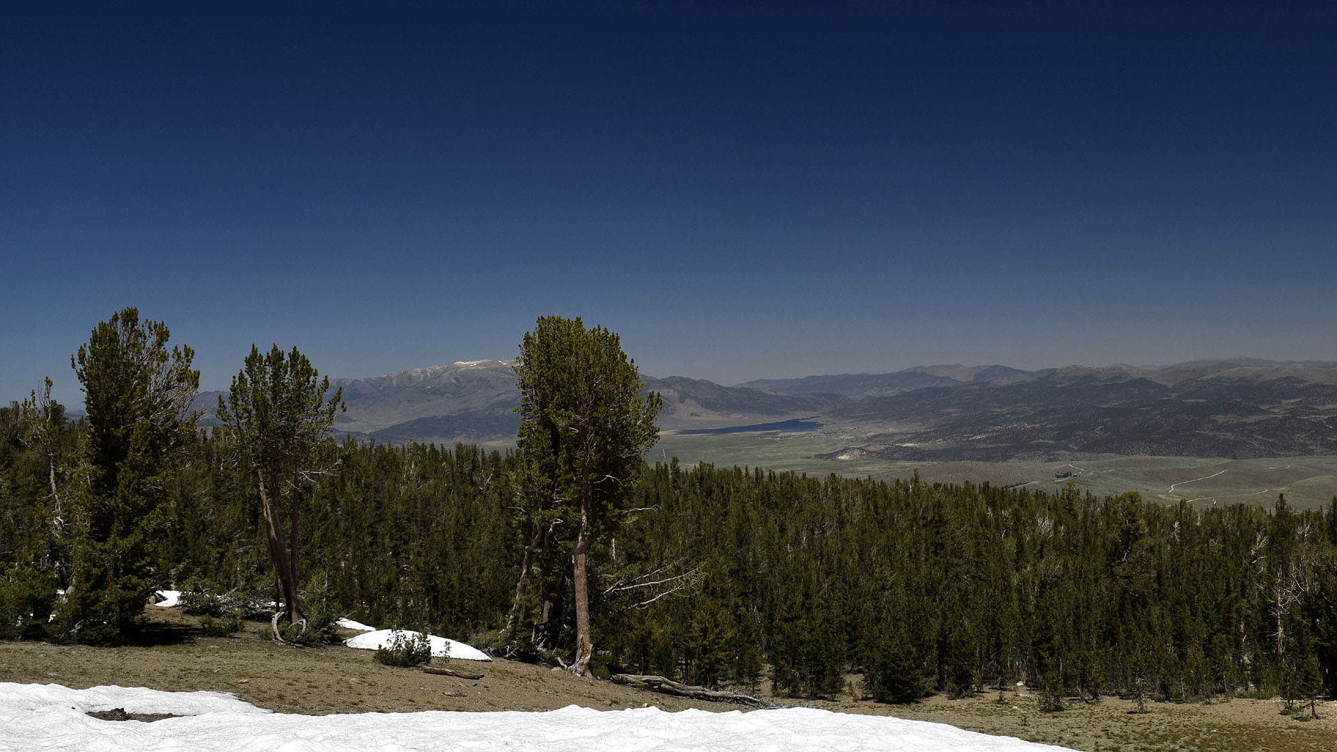 |
| Towards Bridgeport and Bridgeport Reservoir
from snow bank blocking the road to Kavanaugh Ridge. Actually two Jeeps
with over sized tires got over the bank and up to the ridge on Monday. |
 |
|
| Back to Recently |