| Back to Recently Maps | |
| Sugar Pine Reservoir trip May 12-19, 2015 | |
| Oak Creek & Obsidian Dome | |
 |
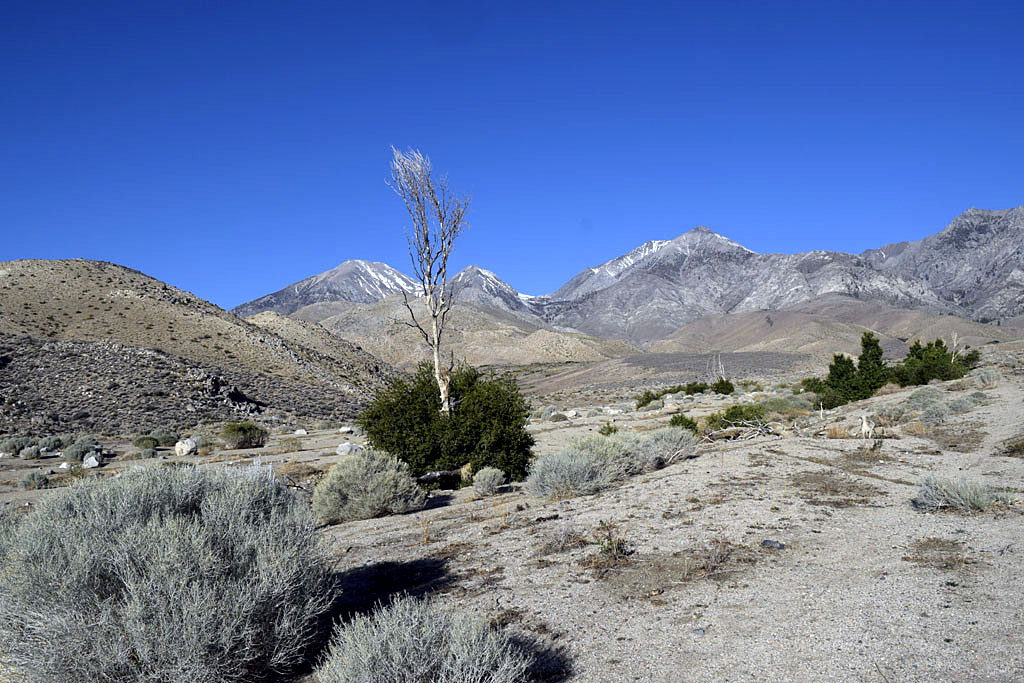 |
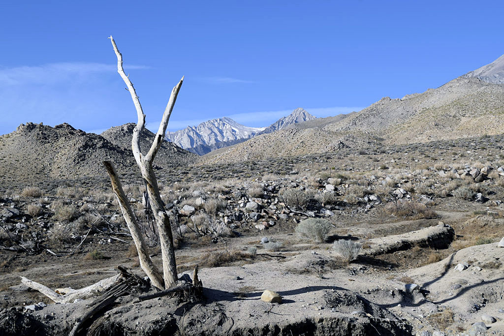
| Oak Creek, fire desolate, very poor Sierra snow for mid May | |
 |
 |
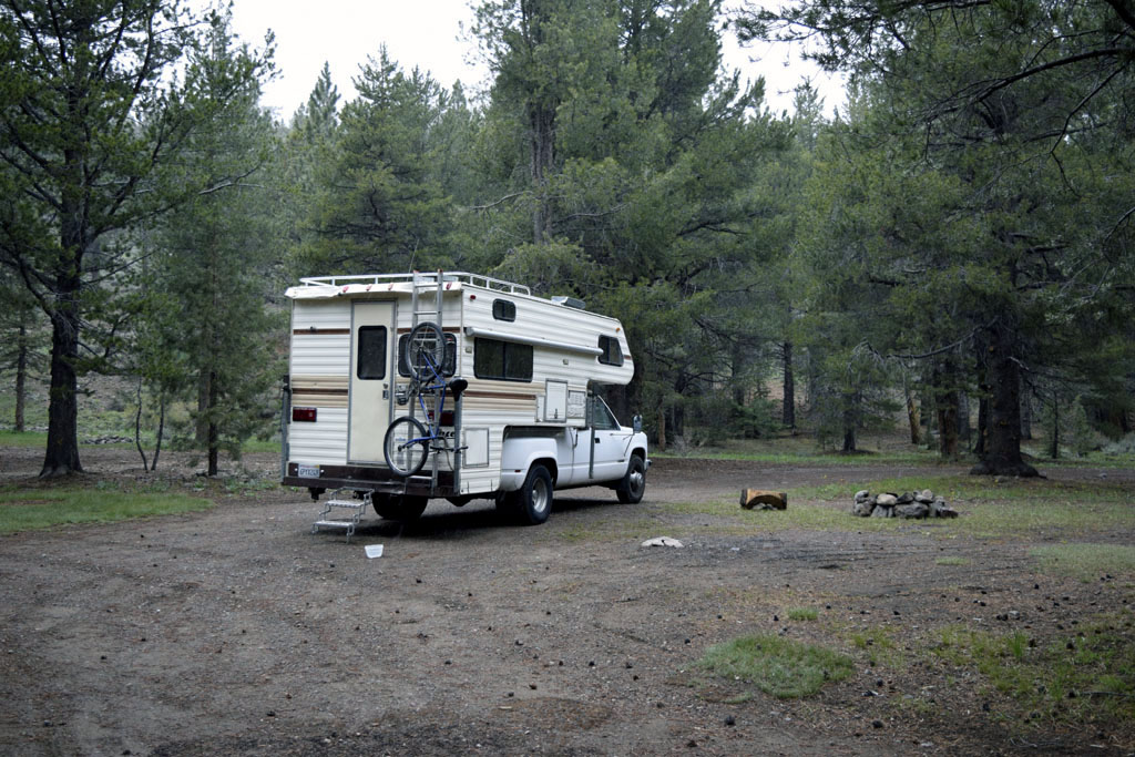
| Wildrose (thumb size, usually more pink) North Fork of Oak Creek is still some trees and vegetation up where there was a private cabin. Only thing left of the cabin is some of the cinder block foundation. I'm sure the Government has done a land grab by now. | Up by Obsidian Dome Road the Government has sold public trees to help line their pockets. Nobody has cleaned up the mess yet. (Actually selective cutting is good for the forest and with 15 trillion in debt the Government has sold America a long time ago) |
| In Alaska all residents get a yearly check from the state for oil monies. How come all Americans don't get a check from the Feral Government for the sale of oil, lumber & minerals on public land? At Oak Creek they have been trying to plant new trees, it doesn't look like many of them are going to make it. Some growth has been popping up from the ruins of trees destroyed by the fire 10? years ago. The North Fork of Oak Creek through the old campground areas has eroded a 40 foot deep channel since the fire (Closed US395 for a while a year or so after the fire) | |
| Humbolt-Toiyabe National Forest Rte 88/89 camp | |
 |
 |
| Thursday afternoon (rain at 7100') | Friday morning |
 |
 |
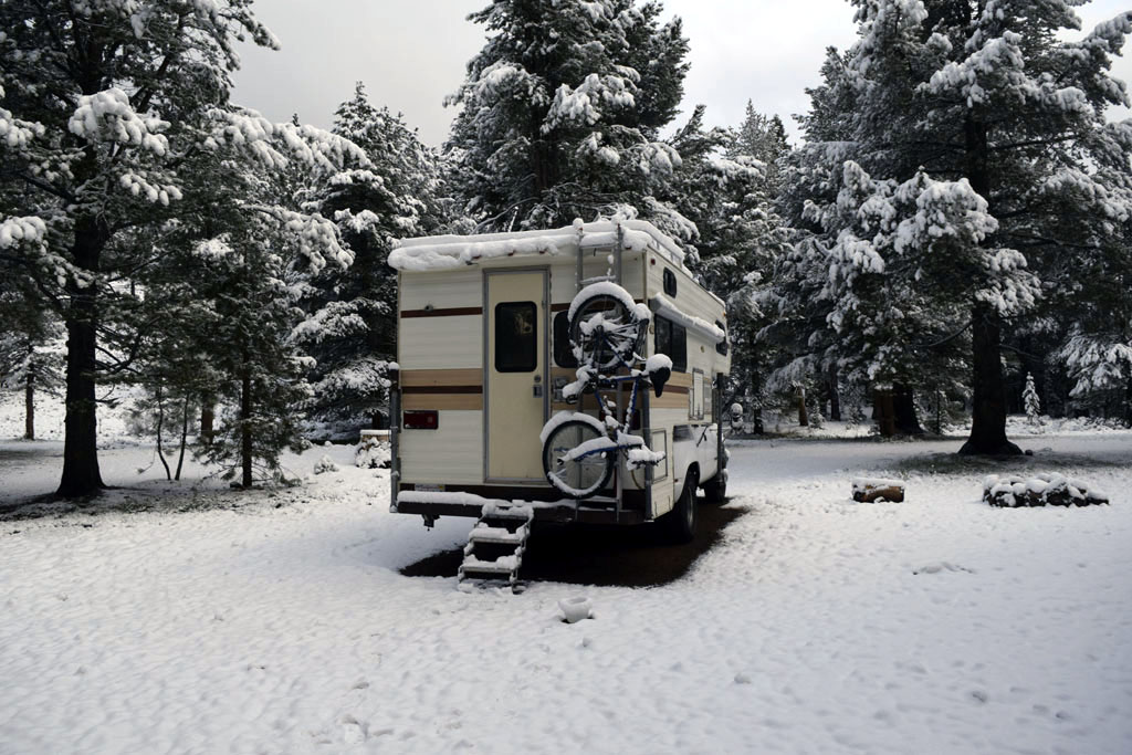
| West Fork of the Walker River after a light dusting of snow | |
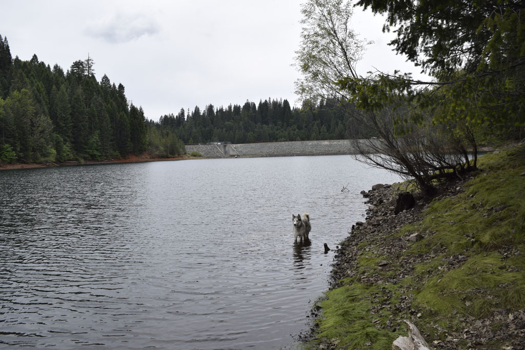
| Sugar Pine Reservoir | |
 |
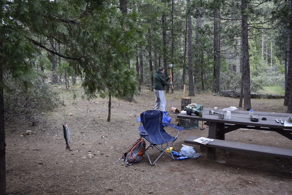 |
| The damn on Sugar Pine Reservoir | Barry splitting wood at Shirttail Campground campsite #6 (Barry's 5 hour trout hanging from the tree) |
 |
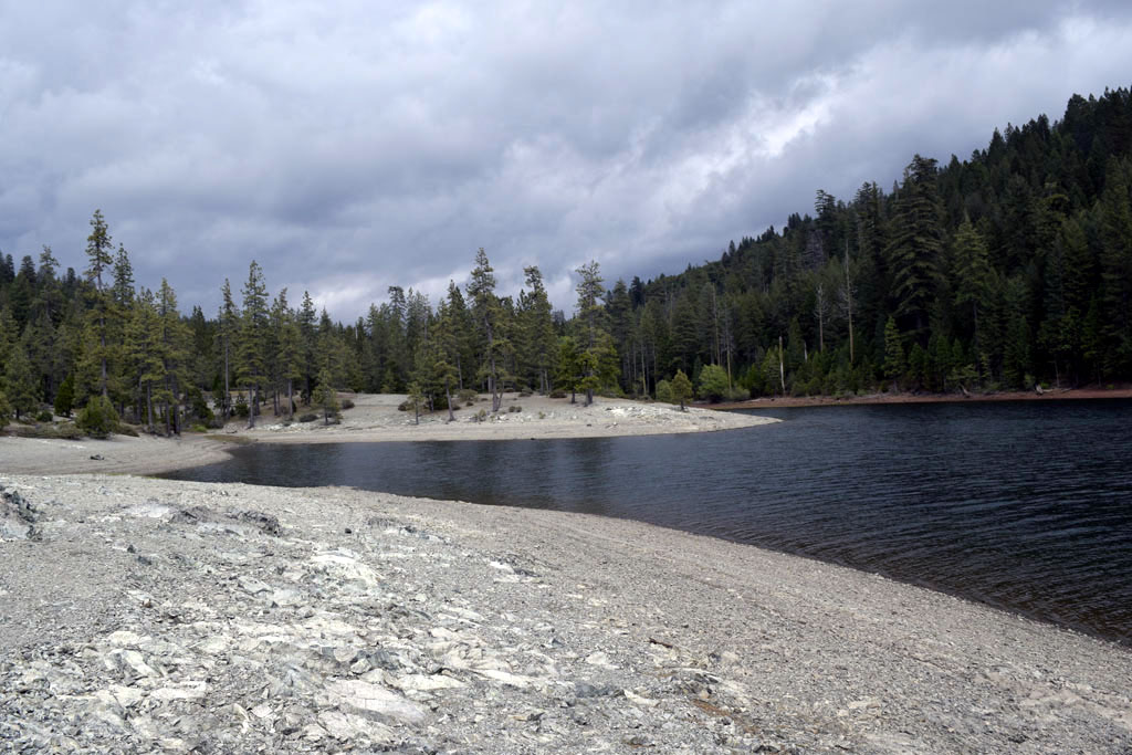 |
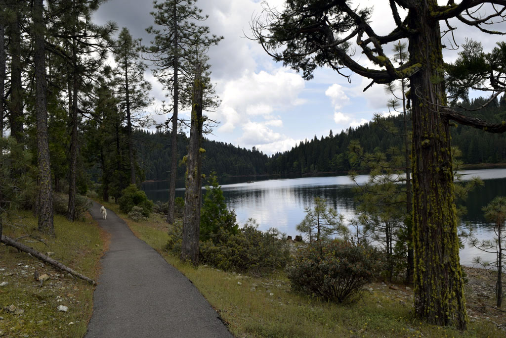
| There is a level paved bike path almost half way around the 4.2 mile trail the circles the reservoir | Although Sugar Pine Reservoir was low, it was high compared to most of California's Reservoirs |
| Sugar Pine Reservoir is at 3600'
about 7 miles from Foresthill which is about 15 miles from Auburn in the
I-80 Sierra foothills above Sacramento. It didn't show on my topographical map
program because it wasn't filled until 1982. It was supposed to part of
a new Auburn Damn Federal program that got cancelled. The feds sold it
to Foresthill, which doesn't use that much water, so it was a lot fuller
than most the California reservoirs during the 4th year of severe drought.
The campgrounds are still federal so splitting my senior discount cost
us $18 each total for the 3 nights we were there. My camper had been submitted as a gross polluter, so I decided to take it on a trip before I took it off the road to work on it. Although I improved it to just a failure by replacing the O2 sensor. On the trip I found it had a vacuum leak around the EGR valve. It ran fine until narrow windy roads bogged it down around Coloma on Route 49. It didn't like low rpm or restarting when it was still hot. Luckily it didn't stall when stopped at flagman or on one lane road red lights. There was a lot of road work going on in the Sierra. Barry said a five hour trout is better than a five hour no trout. |
|
 |
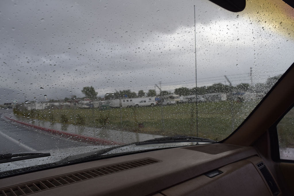 |
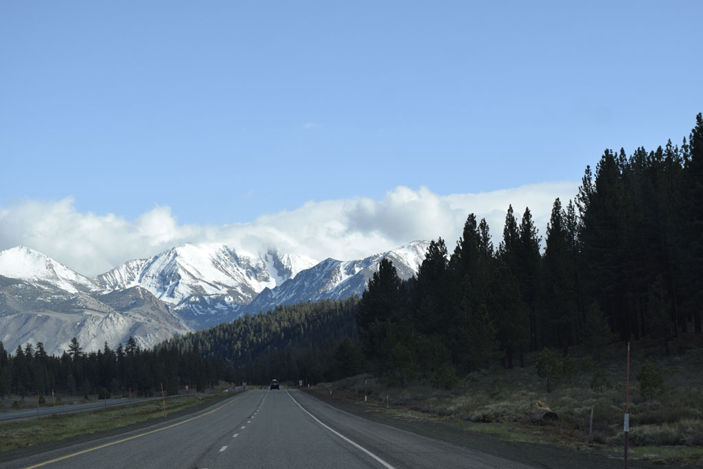
| Getting down towards Mammoth on US395 (Fresh snow within the last week) | Monday rain people preparing for Mule Days at Bishop the following weekend (Memorial Day) |
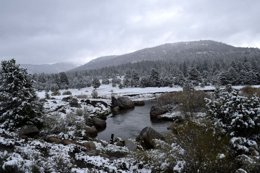
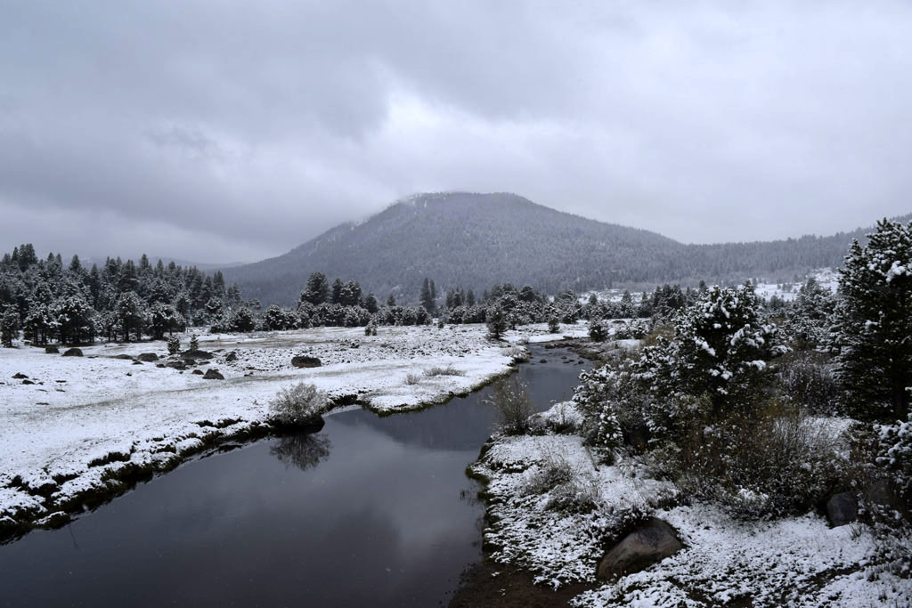
| Wednesday the 13th there had been a front in that rained and snowed from the middle Owens Valley to Lake Tahoe. The following Monday there was scattered rain, sleet, hail and snow along the eastern Sierra also. The first front was stronger but in the 4th year of drought we'll take whatever we can get | |
| Back to Recently | |