| Back to Recently |
| Owens Valley
November 18-22, 2015 |
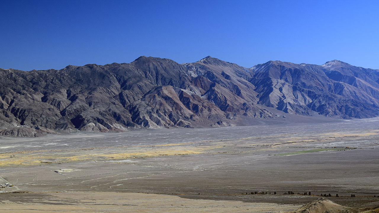 |
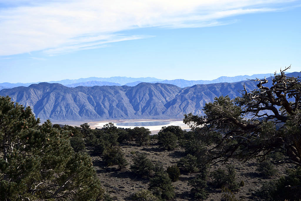
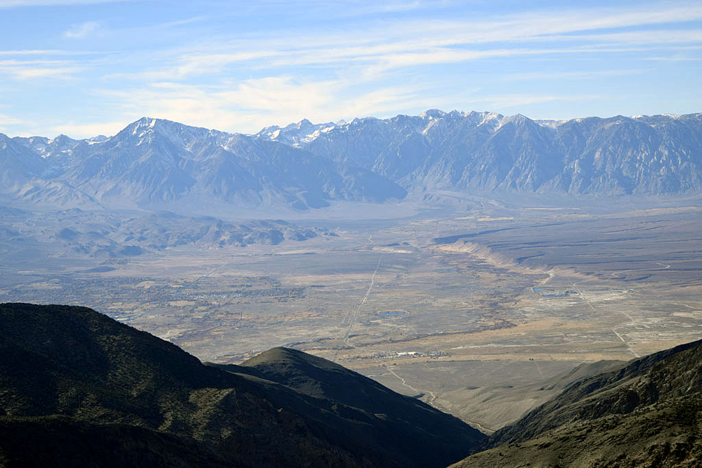
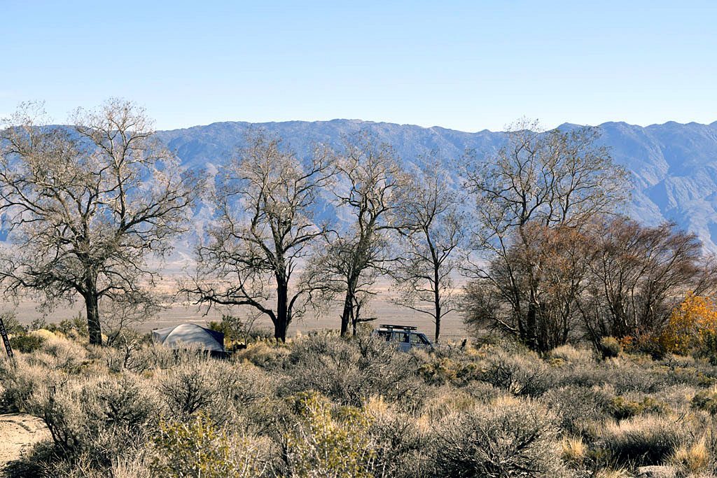
| Inyo Mountains beyond the Owens
Valley from near Sardine Canyon in the Sierra. (Mount Inyo (10,975')
Keynot Peak (11,101') and
New York Peak (10,668'))
The valley floor is under 4,000' the nearby Sierra
reaches over 14,000' |
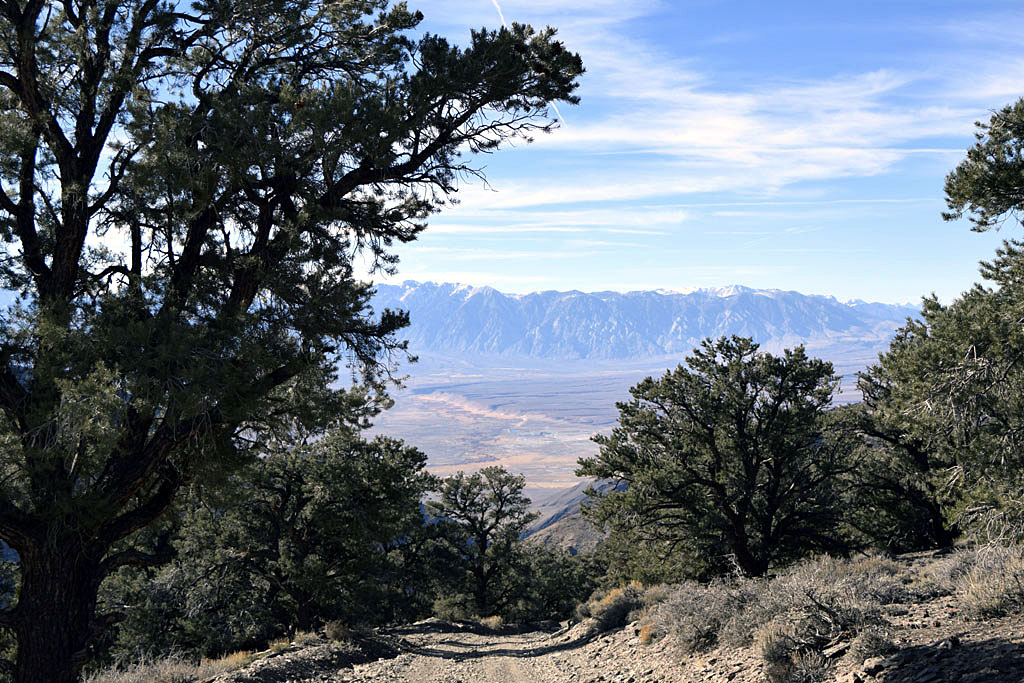
| I wanted to camp up in the White Mountains at
Grandview Campground but wasn't sure of the conditions up there at
8,500'. I also wasn't sure about towing my old Jeep up there. Instead I
camped off Onion Valley Road at 5,400' and made the White Mountains a
day trip with the new Jeep. I had delayed leaving Ridgecrest a few days
because of weather but it turned out there was little snow in the
Grandview area. (Very little even at the cutoff for Silver Canyon at
10,400') I never used the old Jeep it was just a towing experiment for
the new one. Took the dog for a 6 mile round trip hike over into Sardine
Canyon. About as far as I went the last time I went there. Turned back
at about 7,800', where I could see the really serious steep switch backs
up the side of Kearsarge Peak. |
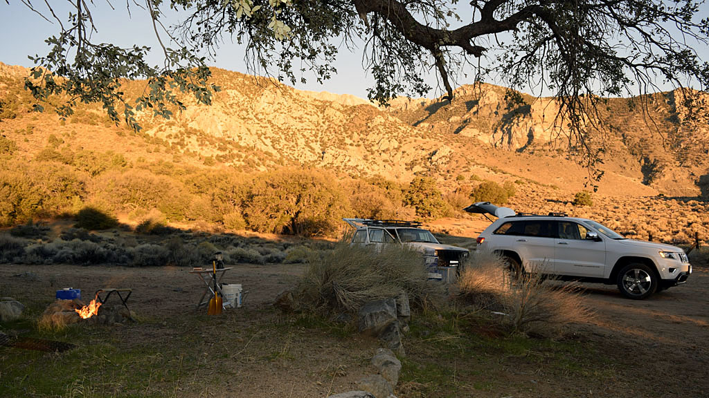
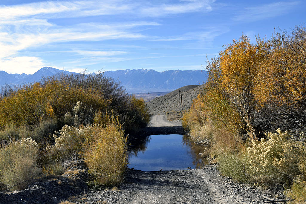
| Sage Flat |
 |
 |
| Towed the old Jeep up to Sage Flat to check
out the new Jeeps ability to tow it on dirt. Spent the first night of
the trip there. Enjoyed the view of the mostly dry Owens Lakebed |
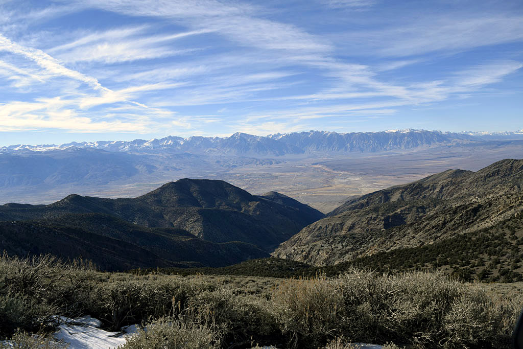
| The White Mountains |
| Grandview |
 |
 |
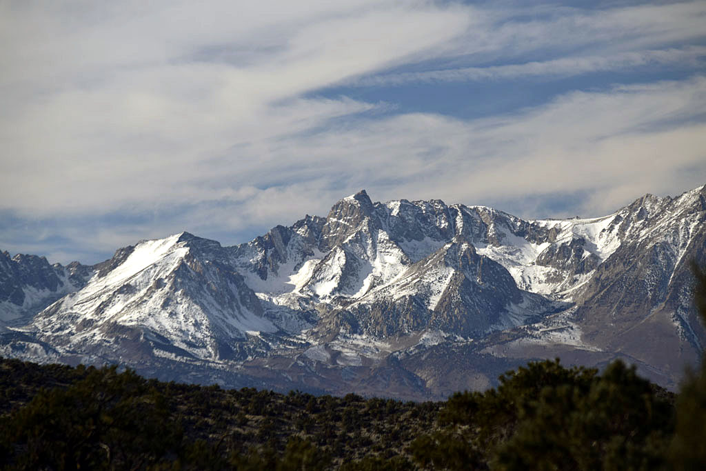
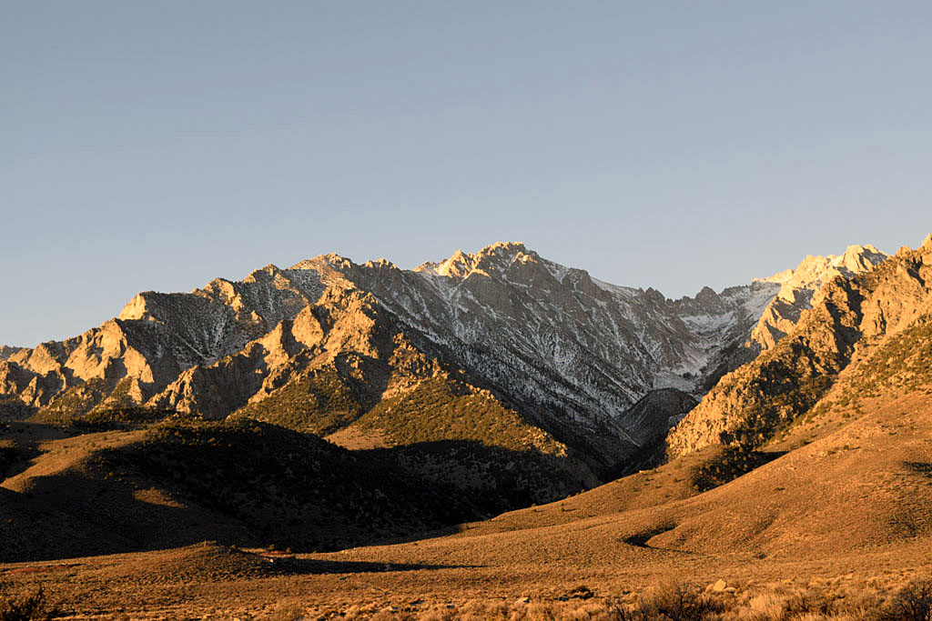
| Mount Humphreys |
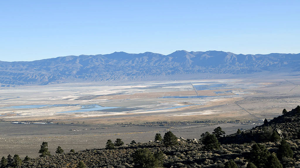
Deep Springs Lake |
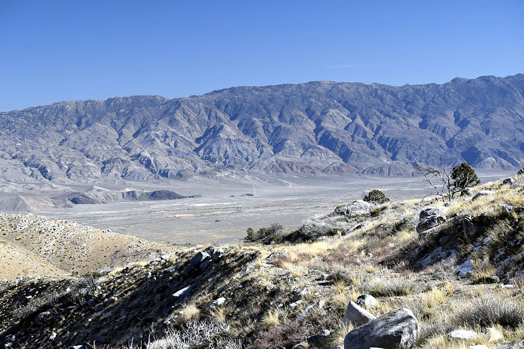
| Silver Canyon |
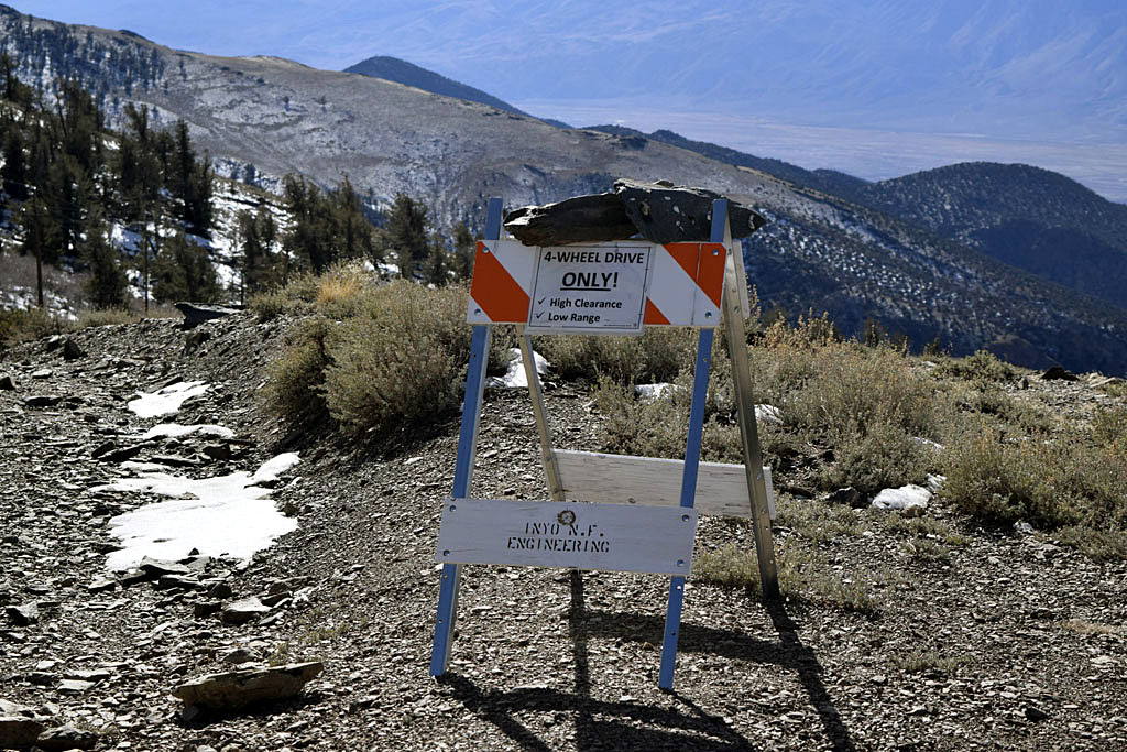
| The Topographical map I had claimed Silver
Canyon was one way, down only. I came down it believing so but when I
got to the bottom I saw nothing prohibiting you from trying to go up it.
If I had ran into someone coming up I don't know what we could have
done. The road is so steep and narrow neither of us could have found a
way to get by the other. The upper part above the canyon was especially
bad, 4 wheel low 1st gear (I have an 8 speed transmission). I'm not even
sure about trying to get up it with no one in your way. |
 |
 |
| Top of Silver Canyon (4 wheel drive only,
high clearance, low range) |
 |
 |
 |
 |
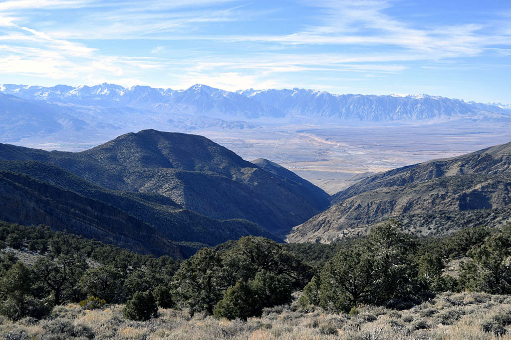
| Upper Silver Canyon route includes views of the Bishop
Tuff and more distant Sierra |
The stream in lower Silver Canyon crosses the road many
times |
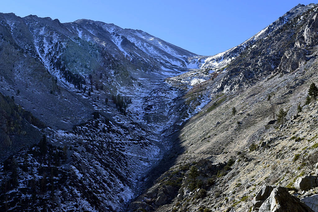
| Sardine Canyon hike |
 |
 |
| Mouth of Mazourka Canyon (Middle running up
to the left) (The little isolated dark rock masses near the mouth are
the old Kearsarge train station area. There is a old mine ore
loader there also) |
Upper Sardine Canyon (A whole lot of
switchbacks) |
 |
 |
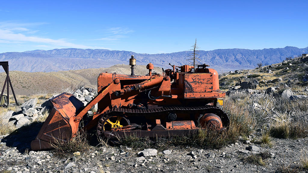
| Old cat at site overlooking upper South Fork Oak Creek |
Below Grays Meadow's Campground on the way back from hike |
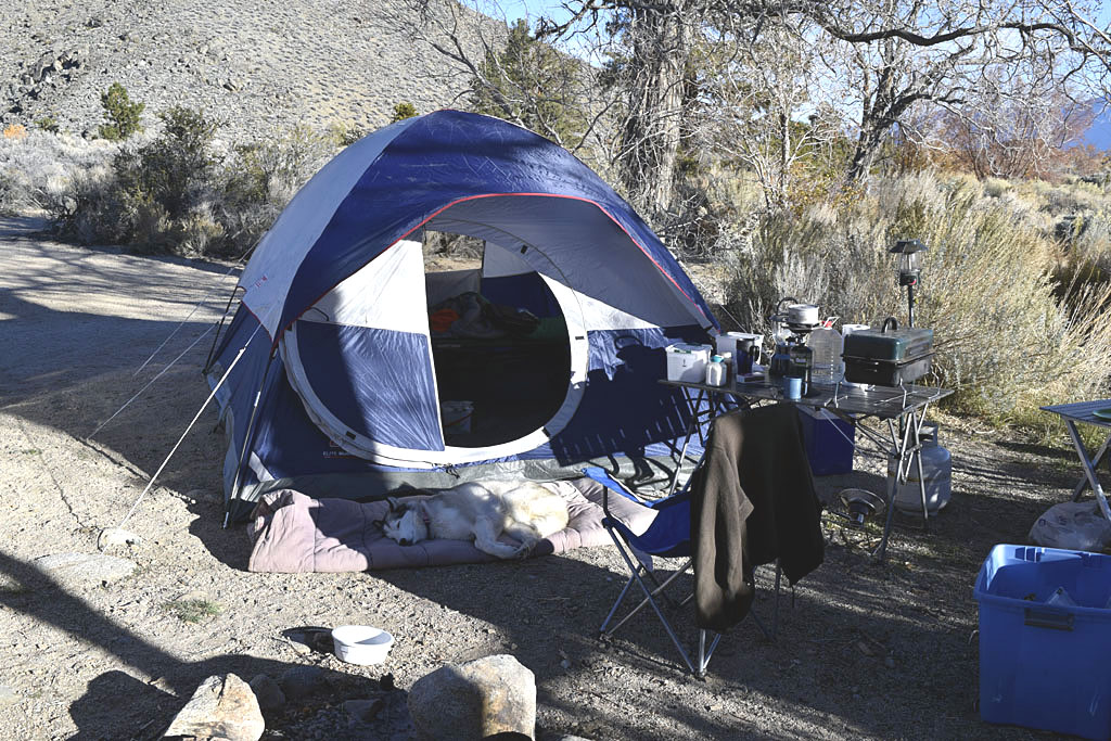
| Pinyon Creek Camp |
 |
 |
| New Coleman tent |
Camp along the Pinyon Creek |
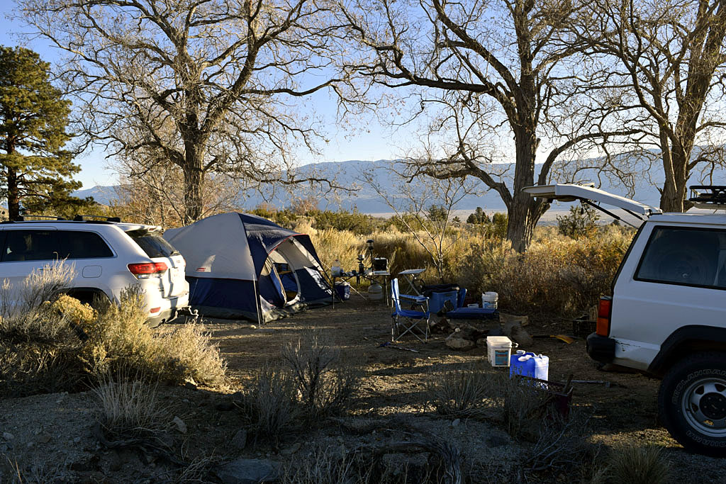 |
 |
| Camp along the Pinyon Creek |
Pinyon Creek canyon from camp (To the right
of Mount Keith) |
| Back to Recently |