| Back to Recently
Maps |
| The Kern Plateau April 28-30,
2015 (Snow Survey.. or lack there of) |
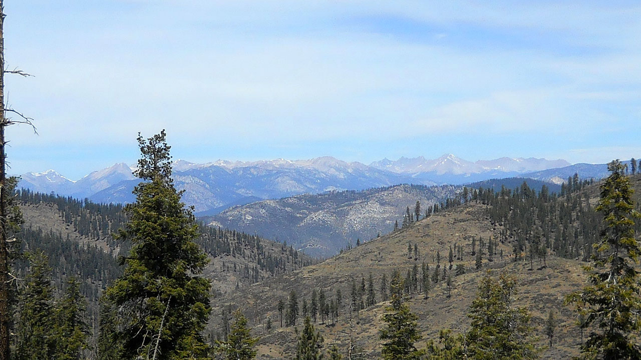 |
| The Sierra from Sherman Pass. A pitiful snow coverage for late April. (Kaweahs
distant right of center, Florence Peak, Mineral King area left corner) |
 |
 |
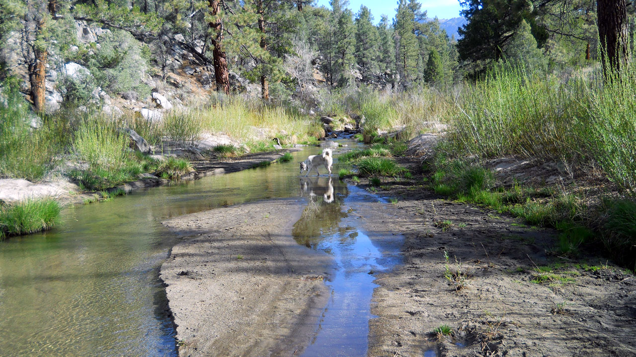
| The South Fork of the Kern above Kennedy Meadows is
running low for this time of year |
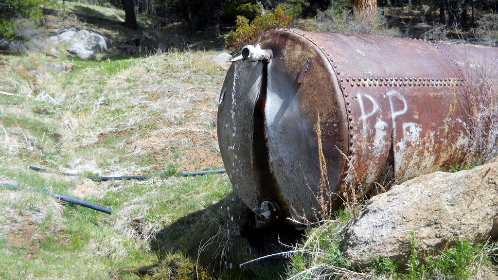
The tank at Powell Meadows barely flowing |
| For late April the Kern Plateau is very dry.
The fire threat at Kennedy Meadows is Moderate already. Sherman Pass as
well as the Monache Jeep Trail are open already. (Monitor & Sonora
Passes up US395 are also open) There were a few small snow banks
at over 9000 feet near Sherman Pass. A tiny bit of snow visible near the
summit of 12,000' Olancha Peak and very little further north on the
southern faces of the higher Sierra. Although most everything was open,
the Troy Meadows overflow was still gated off for no apparent reason. |
 |
 |
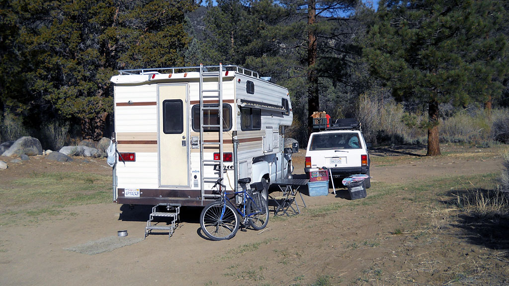
| Camp next to the river at fire safe area
just outside Kennedy Meadows Campground. Saved me $8.50 a night senior
price at the campground. I remember when the campground was free. |
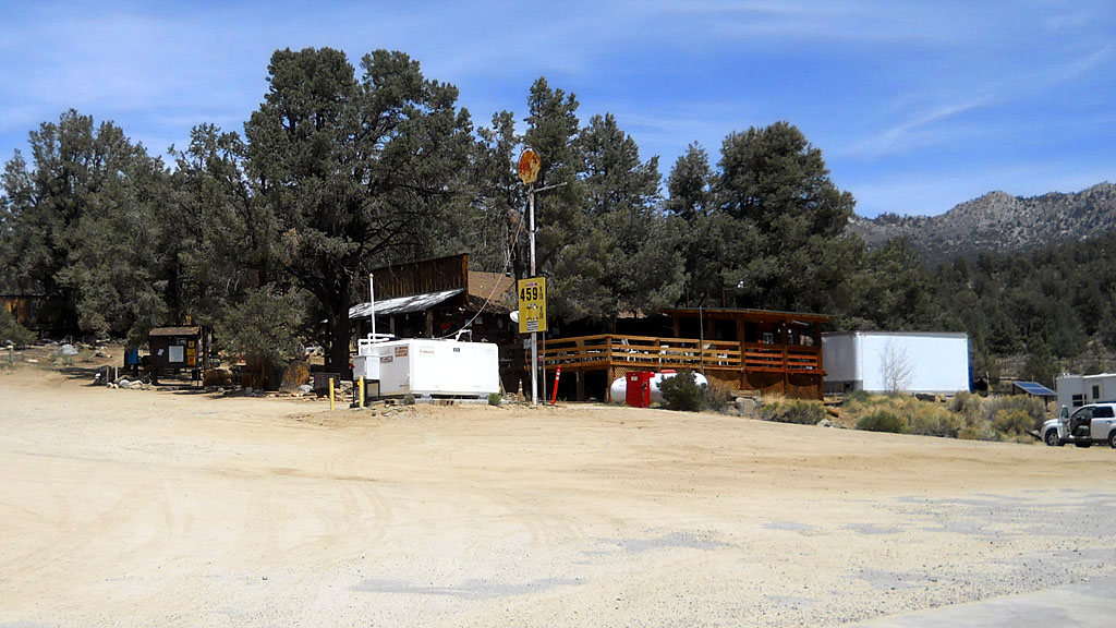
$4.599 gas at Kennedy Meadows General store
is about $1.25 above Ridgecrest prices 50 miles away. At least they have
gas in Kennedy Meadows now, you used to have to drive 25 miles to
Pearsonville. |
| I didn't really get out in
April. My camper has been declared a gross polluter.
Which means I have to drive 85-100 miles to get another smog test or
have it worked on. (Nobody but myself has ever worked on any of my
vehicles, but I can't even retest in town) The moron at Nelson's
Automotive put it into DMV even though the check engine light came on.
Replaced an O2 sensor and retested un-official, still fails but wouldn't
be a gross polluter. Indian Wells Valley is shared by Kern, San Bernardino
and Inyo counties. Inyo doesn't have to smog. Kern's pollution
problem is in Bakersfield 100 miles across a major mountain range.
When the wind blows Owens dry lakebed puts more pollution in the air in
one day than the total of every car ever driven in Ridgecrest. Oh well
best case scenario is I move out of California, we shouldn't be part of
it here anyway. (Originally they wanted the border to be the crest of
the Sierra) |
| Back to Recently |