| Back to Recently |
| Big Sur
December
1-8, 2014 |
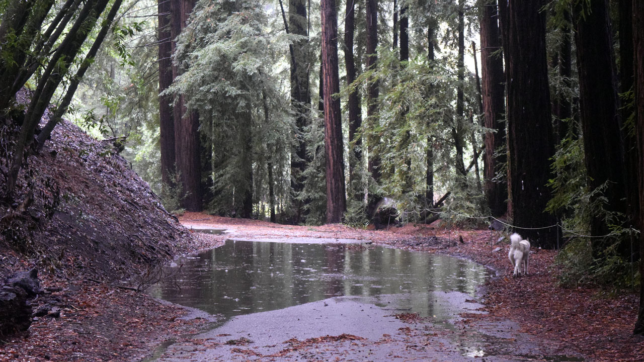 |
| Mya avoiding a rain puddle in Pfeifer Big Sur
Sate Park (Second generation redwoods, which is typical of most the southern
groves. (The biggest first growth in the grove is the Patriot tree,
over a thousand versus hundreds of year old)) |
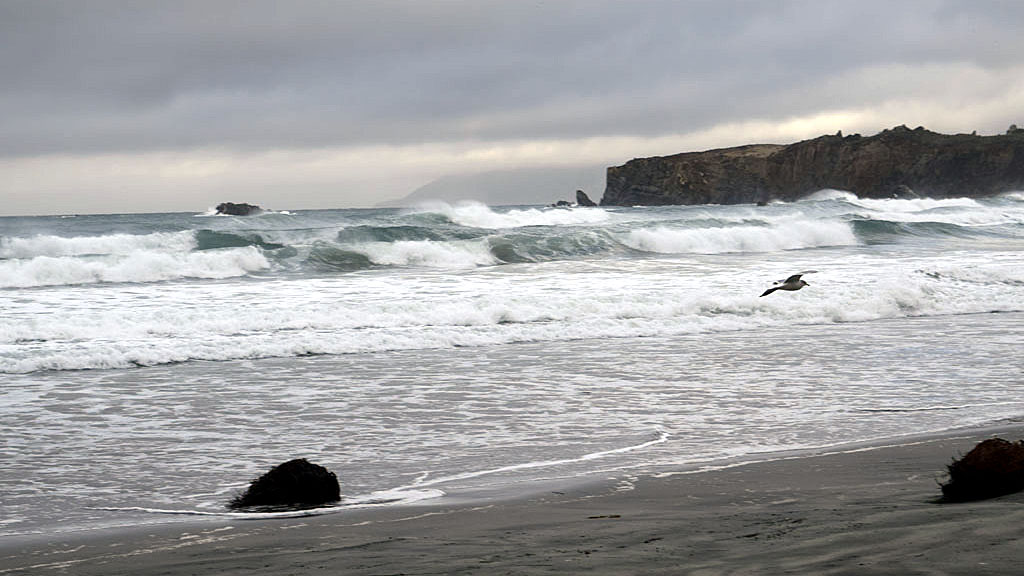
| Plaskett Creek |
 |
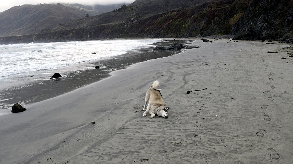 |
| Usually Mya wont go near the ocean (She is
afraid of loud noises) |
| Pfeifer Big Sur State Park Campground is $43
a night after $10 for an extra vehicle and a whopping $2 senior
discount. Plaskett Creek & Kirk Creek near Pacific Valley are
federal and much cheaper. $25 a night ($12.50 for seniors) and $5 for an
extra vehicle. Tuesday night I stayed at Plaskett Creek which also has
beach access across the road from the campground. (Kirk Creek is on the
beach side of the road but I haven't checked it out for breach access.) |
| Big Sur |
| Barry & I spent 4 nights at Pfeifer Big Sur State Park, it rained every
day except Sunday when we left. It started raining at Lake Isabella on
Tuesday morning at 0:530 and rained off and on until Saturday at
Big Sur. In December of 2013 it was cold but no rain and we had maybe
half a dozen campsites occupied that weren't squatters (campground
hosts). In 2014 it rained a lot and we had 5 times as many campsites
occupied. It still beats summer when you can't get in the campground
because its always full, including a lot more sites that are closed in
winter. Temps were 60 at night and 65-70 during the day which made the
rain bearable. (except for the single ply toilet paper in the
campground restrooms that was so damp you could barely use it) |
 |
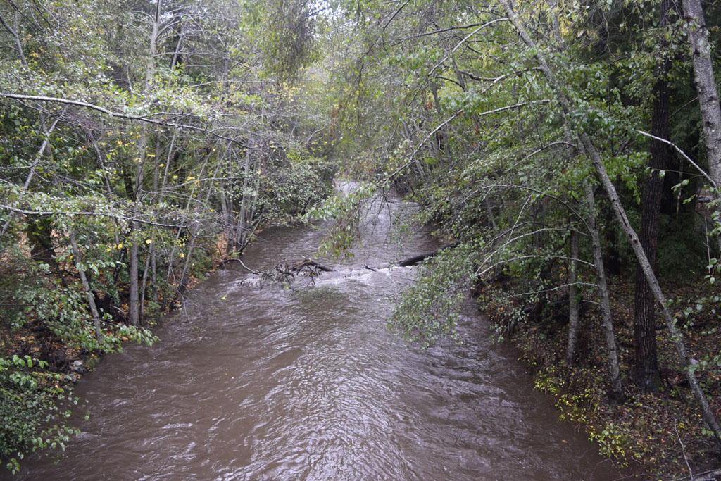 |
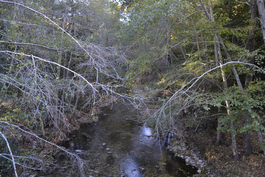
| Big Sur River upstream from Campground bridge in December 2013 |
Upstream from Campground bridge in December 2014 |
| San Francisco - Oakland Bay
Bridge |
 |
 |
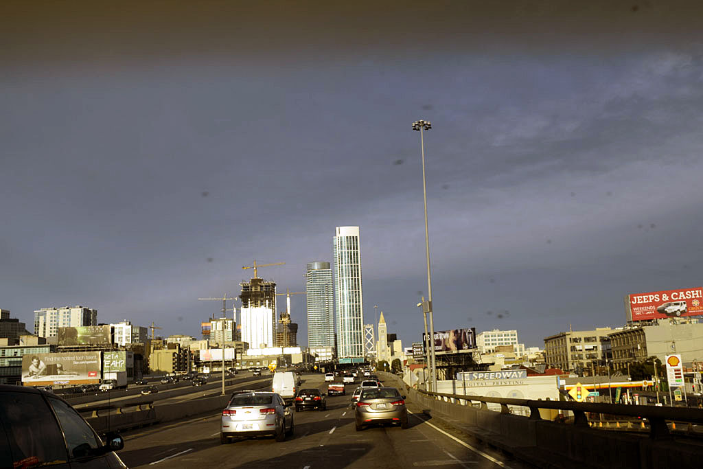
| New high rise construction near the Bay Bridge entrance on
the San Francisco side |
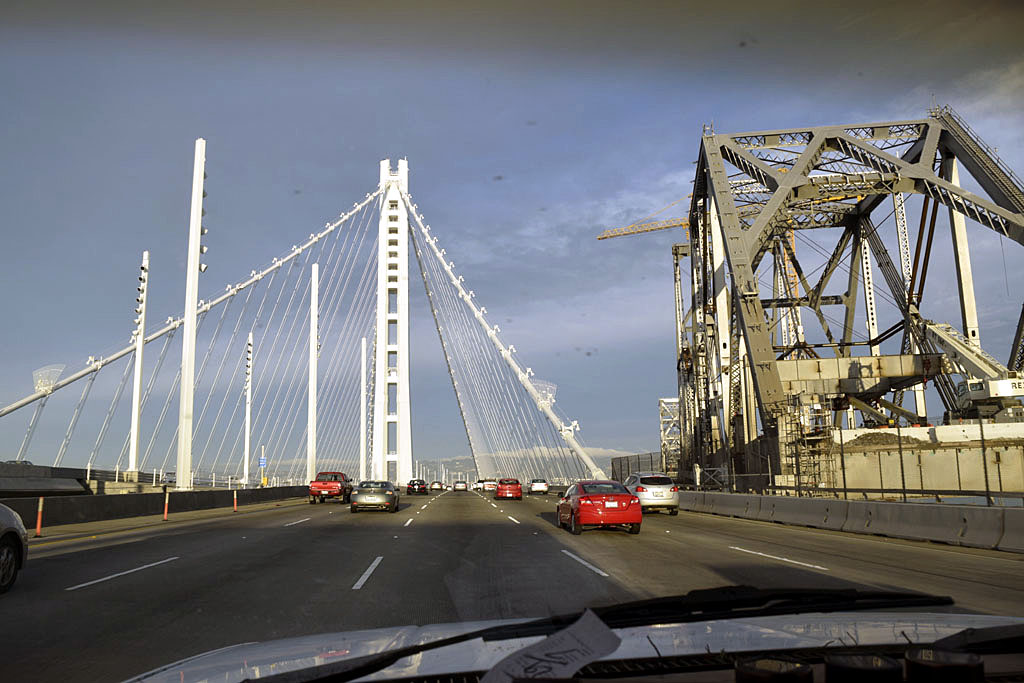
The new bridge and the old one being demolished |
| It was slow going getting on the bridge on
the San Francisco side, but going into the city it was backed up stop
and go almost to Berkley. The toll booths are going into San Francisco
but most the locals have fast pass. The high rises are the result of a revitalization
of the area around the Giant's ball park. (World Champions 2010, 2012
& 2014) Candlestick is still there out at Candlestick point but is
due for demolition in 2015. (49ers moved to Santa Clara) |
| The Eastern Sierra |
 |
 |
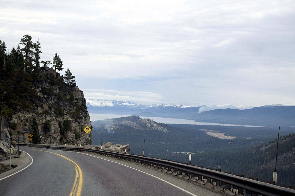
| Coming down US50 into the Lake Tahoe Basin (There
was a little snow around Echo Summit at 7,377' ) |
The Sierra near Bridgeport off US395 (The
pointy little peak in the center is Matterhorn Peak) |
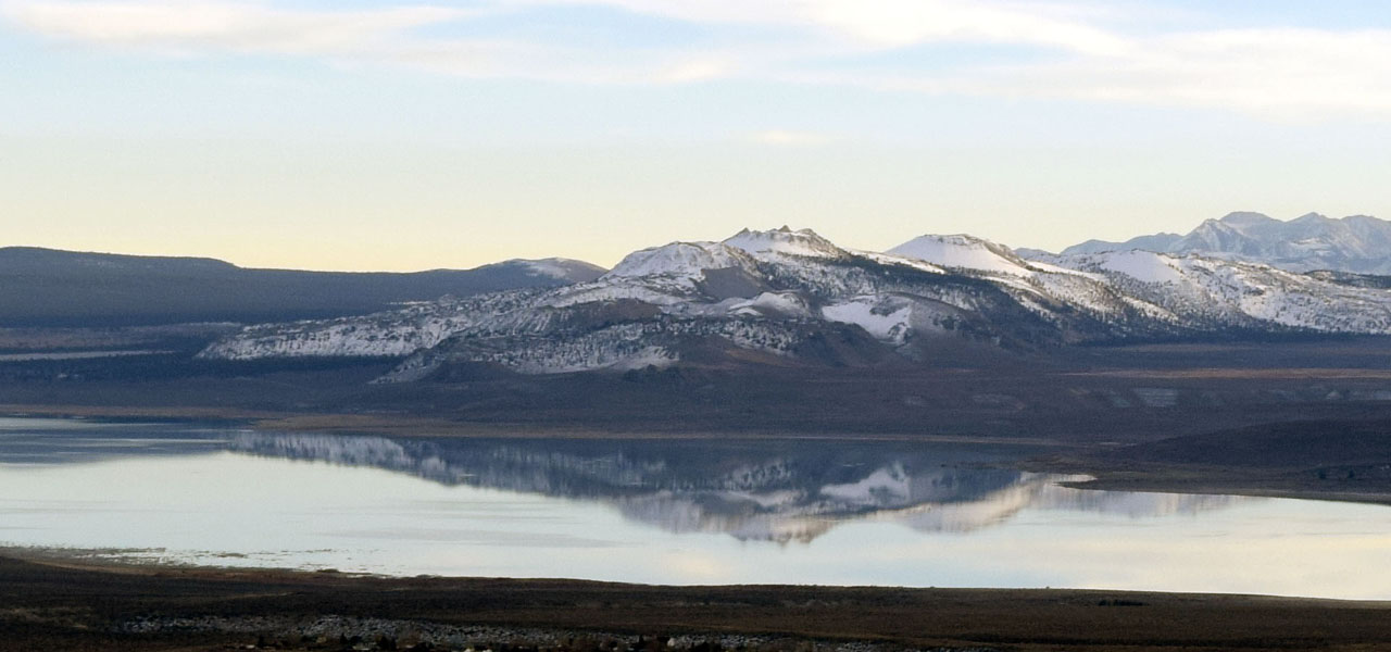 |
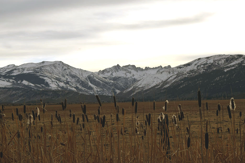
| Mono Craters behind Mono Lake (Fairy recent volcanoes.
~60,000 years old) |
 |
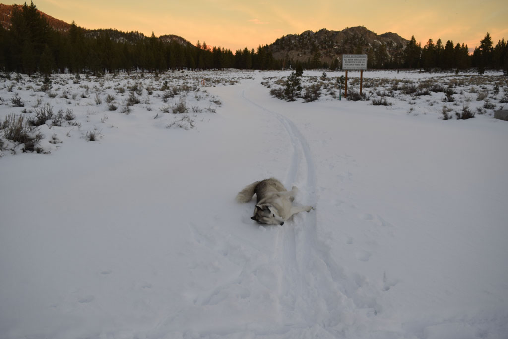 |
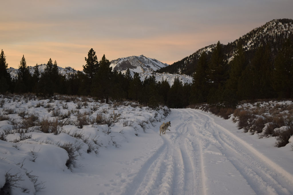
| Mya enjoying the snow near 8,040' Deadman Summit
(Obsidian Dome Rd) (Tire tracks only went in a little
ways then ski tracks) |
 |
 |
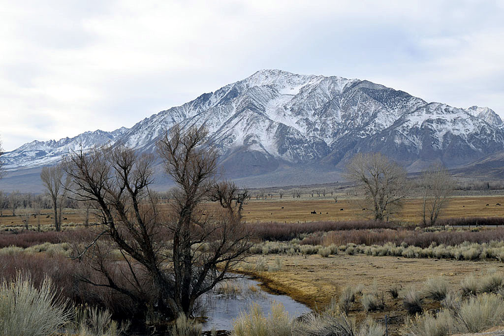
| Mount Toms near Bishop with a fresh dusting of snow |
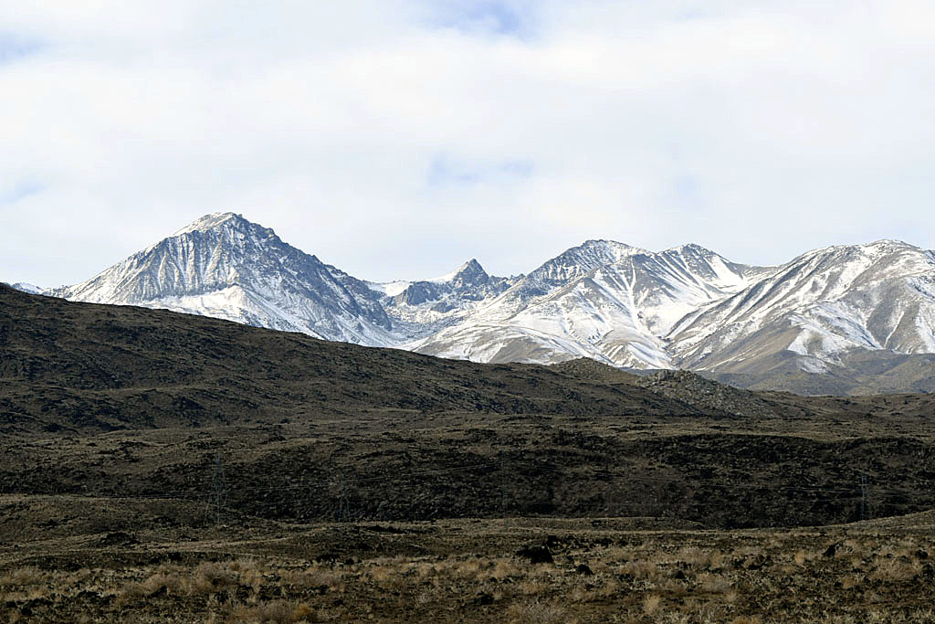
The Thumb (Middle pointy thing (technical term)) Recent
Basalt foreground |
| The first night of the trip I slept at Stine
Cove on Wasabella. (Lake Isabella is about 8% of capacity) Between Stine
Cove and Paradise Cove on the other side there was a small river where a
lake had been. Mya and I hiked out in the lakebed for a while, a lot of
shells in the sand. I had been planning on looking for Old Kernville
which is now exposed again. Unfortunately it started raining at about
05:30 Tuesday morning. |
| Back to Recently |