| Back to Recently
Back to 2012 |
| Yosemite January 10-18,
2012 |
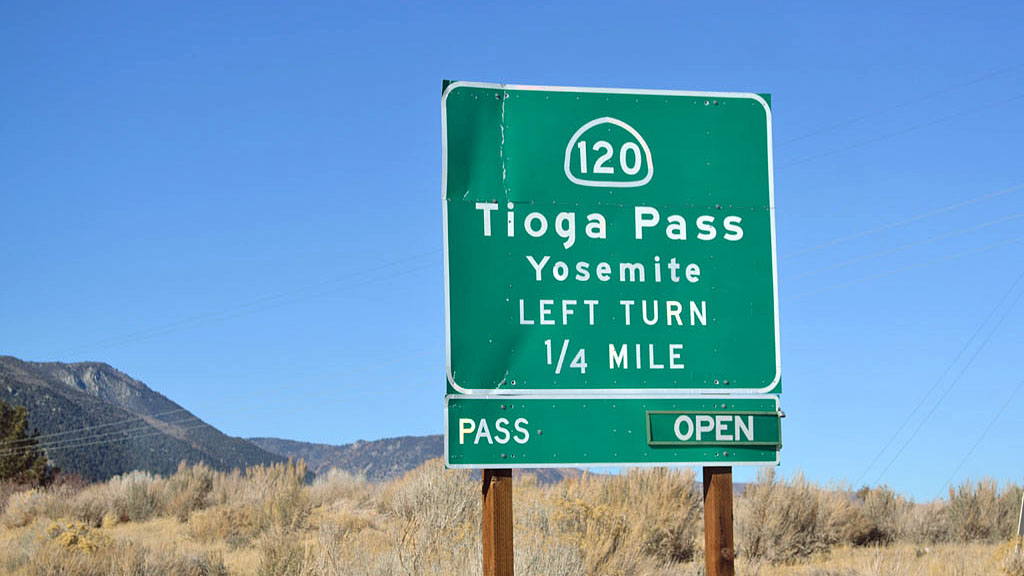 |
In January 2012 Tioga Pass was open
in January for the first time in 40 or 50 years. It had been a very light snow
winter to that point. When I went to my usual February Yosemite camping
trip the pass was closed and I had to go through Bakersfield and Fresno
to get there. I started this trip by going through Panamint Valley |
| Panamint Valley |
 |
| Northern Panamint Valley sand dunes |
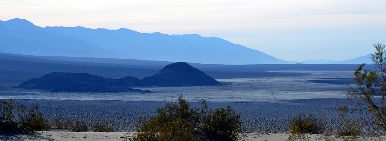 |
| The Islands in Northern Panamint Valley |
 |
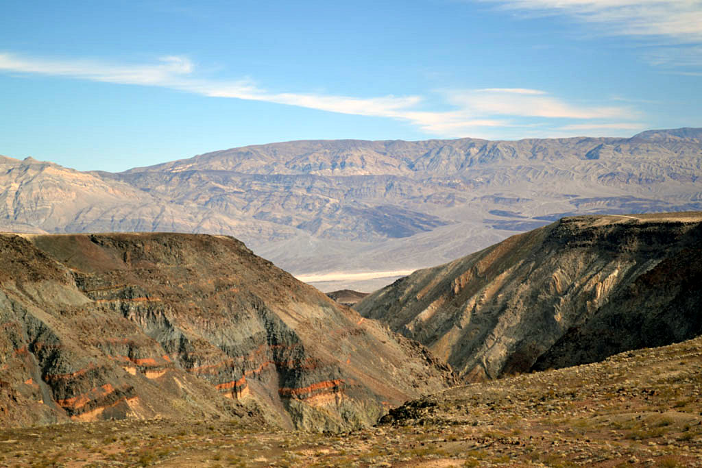 |
| Distant 11,027' Telescope Peak across Panamint
Valley |
Looking down upper Rainbow Canyon across Panamint Valley |
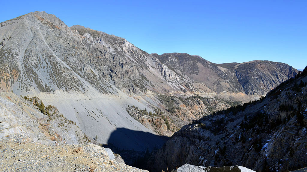
| Camped just off Obsidian Dome Rd above
Mammoth before heading through Tioga Pass. |
 |
 |
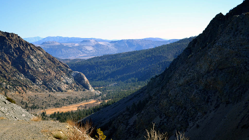
| Lower Lee Vining Canyon. (Inyo Craters in
the distance) |
Upper Lee Vining Canyon |
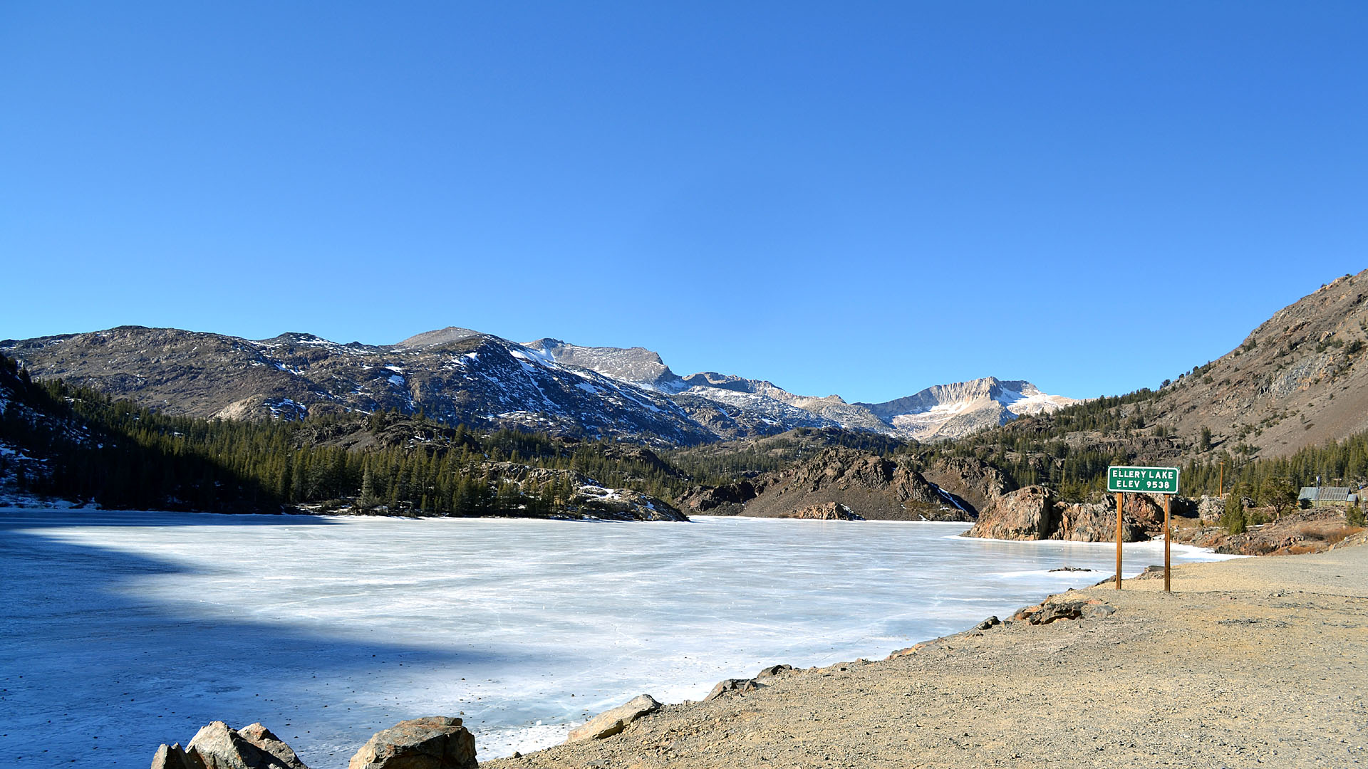 |
| Frozen Ellery Lake |
| Yosemite |
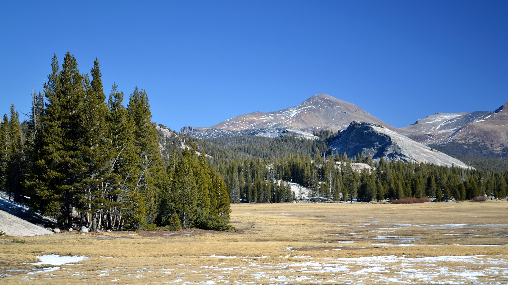 |
| Tuolumne Meadows, Lambert Dome and Mt Dana |
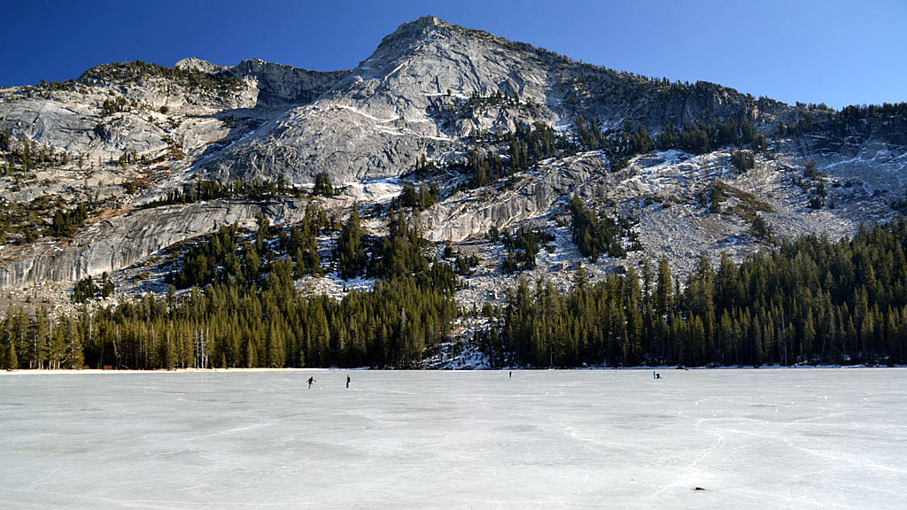
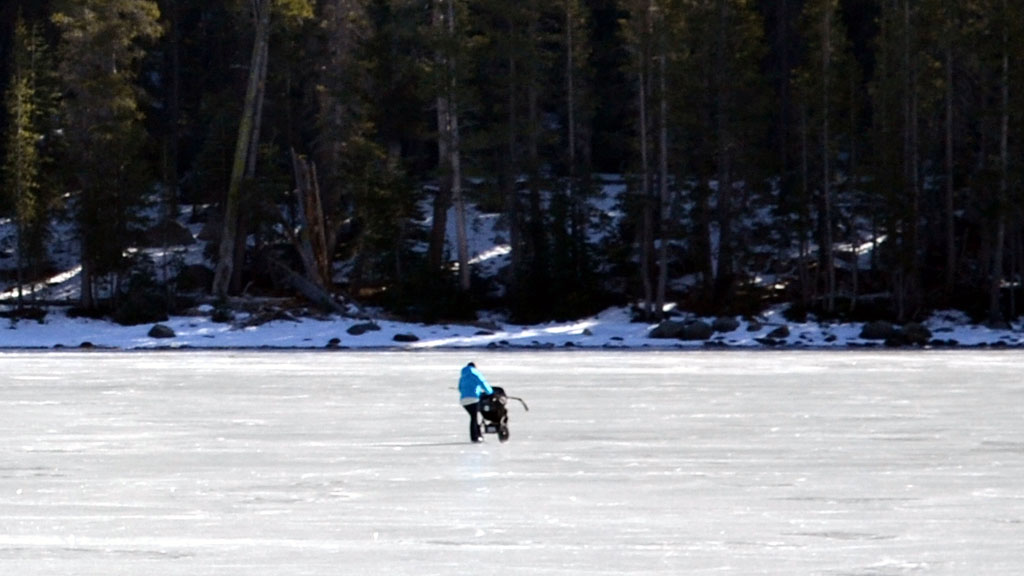
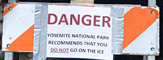 Tenaya Lake
 |
People on the ice included a woman with a baby stroller.
While there was so little snow that Tioga Pass was open it had still
been cold enough to freeze the high altitude lakes. |
 |
 |
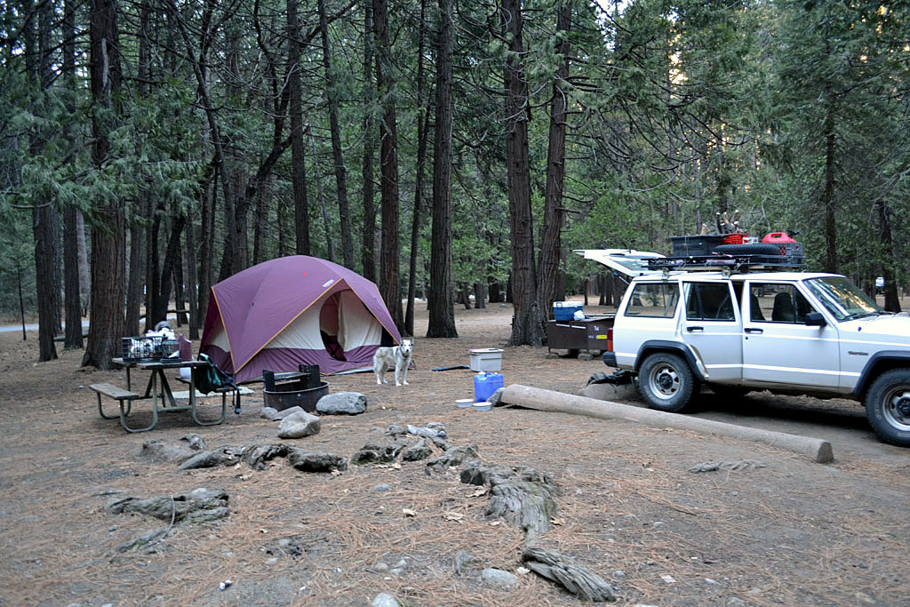
| Upper Pines Campground |
 |
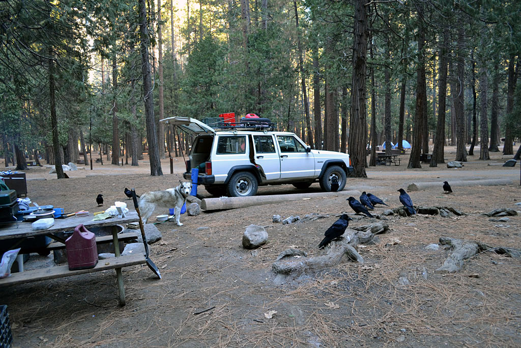 |
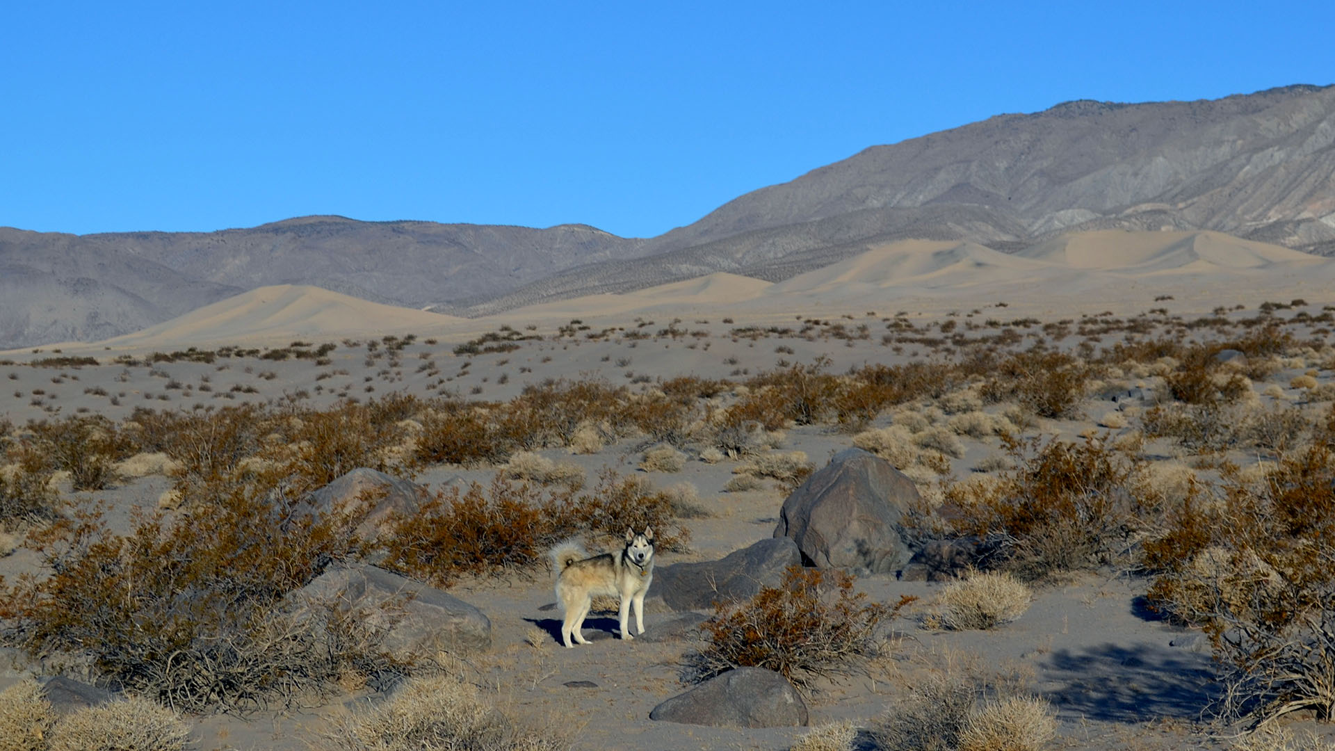
| The campground host warned me to keep my tent zipped
against raccoons until he saw Mya. |
The ravens would work together to outsmart Mya and steal
her food. |
 |
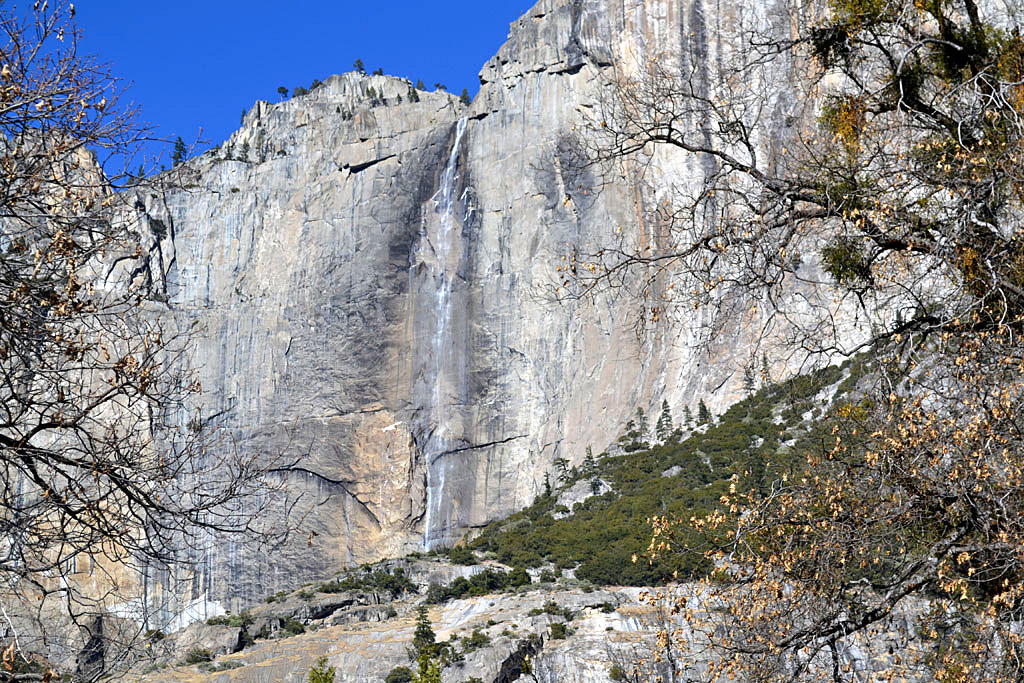 |
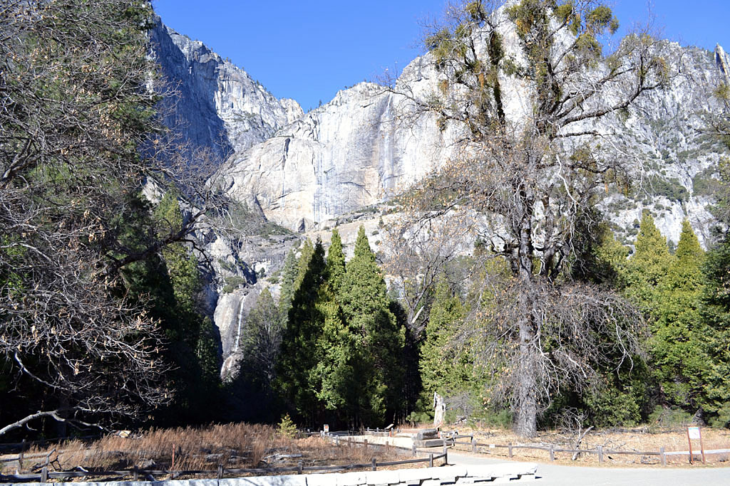
| A pitiful Yosemite Falls but at least it
wasn't dry. |
 |
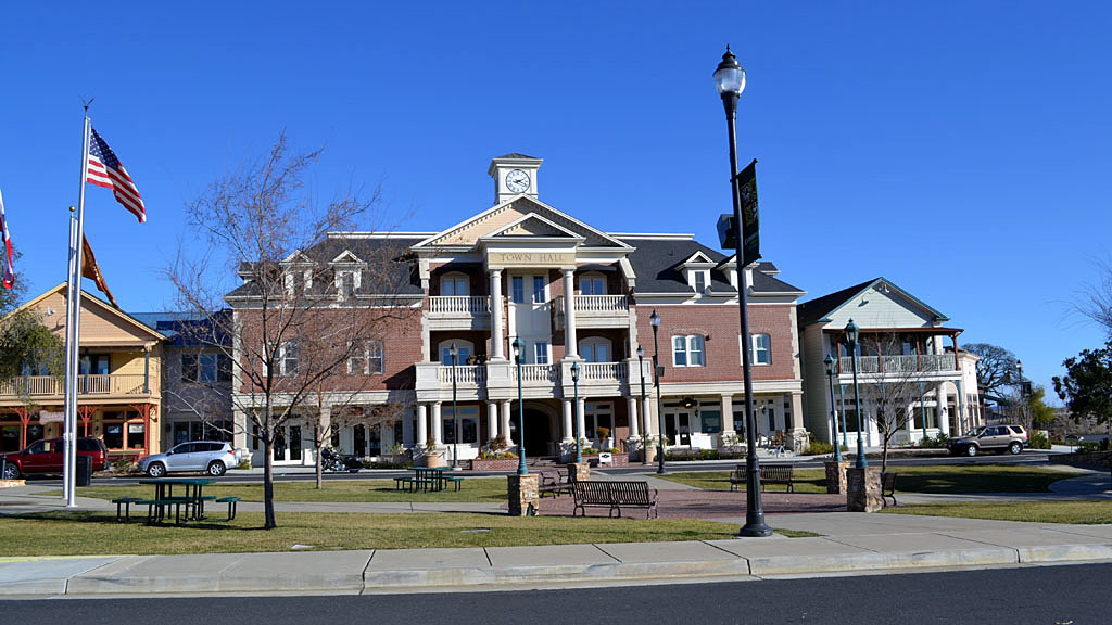 |
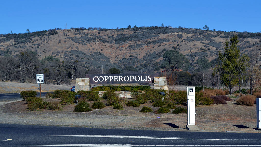
| From Yosemite Valley I went down to the North
Bay area to Vallejo to see friends. I decided to go over Ebbetts Pass
which took me through the new Town Square Copperopolis. Well new for me,
hadn't been around Copperopolis for many years. |
 |
| I came back over Ebbetts Pass
which was also strangely open in January, there wasn't much snow around
or above the pass. (After Ebbetts I went over
Monitor Pass which can be open now and then in the winter.) |
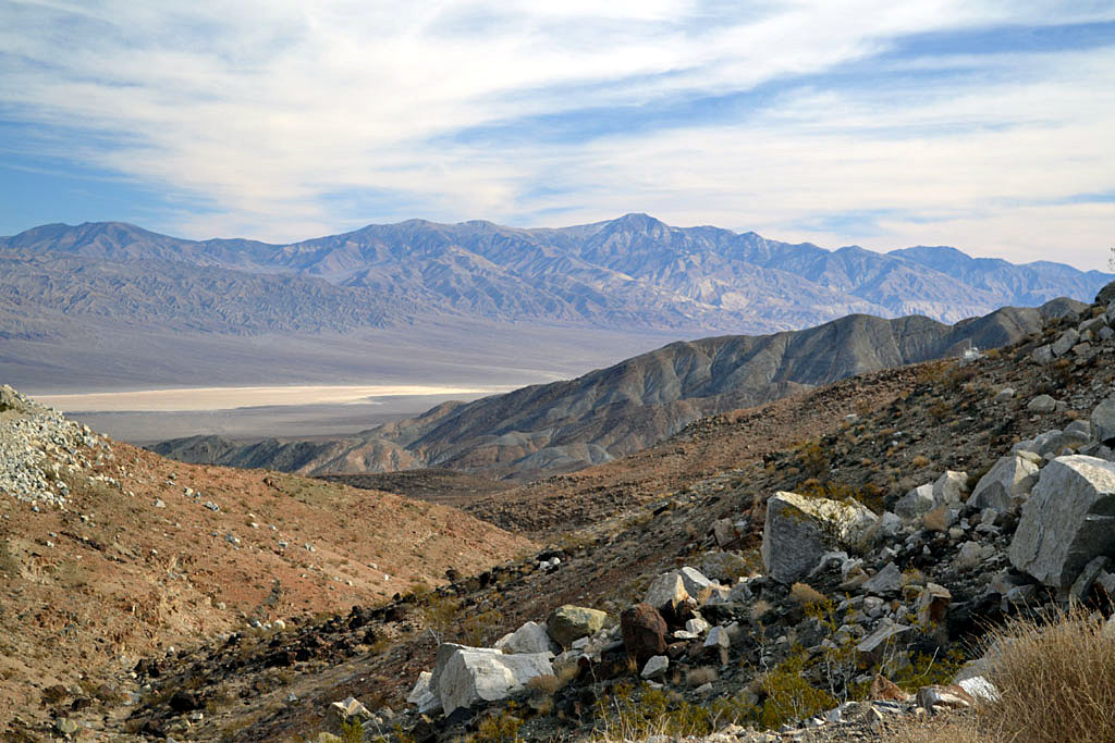
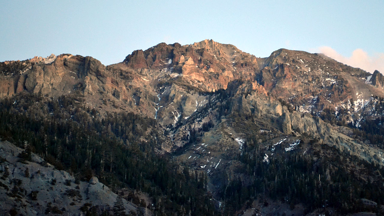
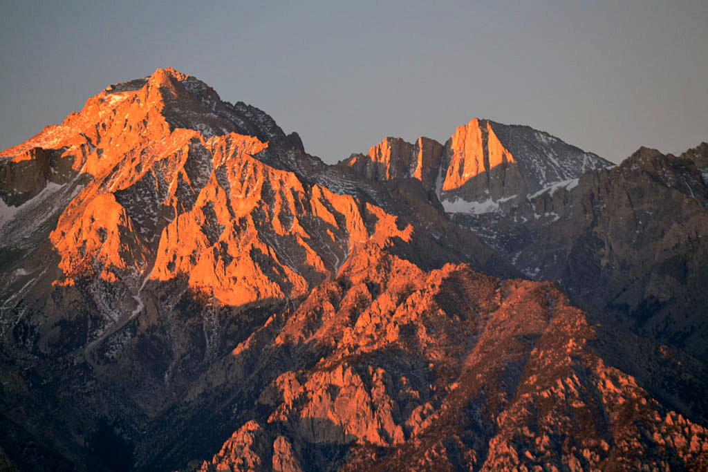
| Independence |
 |
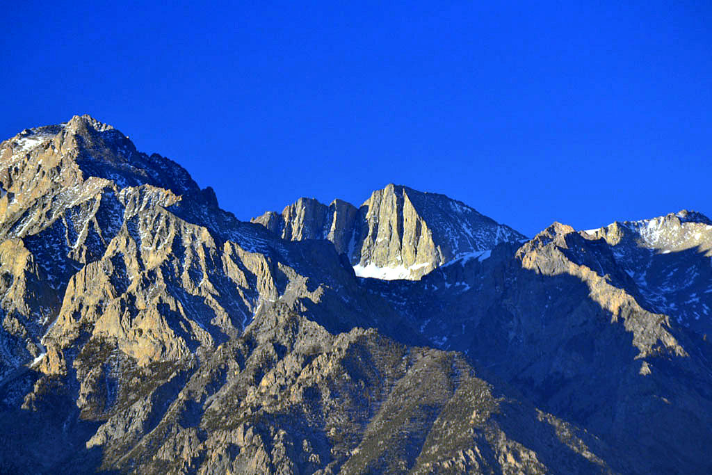 |
| Mounts Williamson and Tyndal |
| Camped off Mazourka Road on the way south on
US395 |
| Back to Recently
Back to 2012 |