| Back to
Recently
Back to 2012 |
| Panamint Valley-Death Valley National Park 3/21-24/2012 |
| |
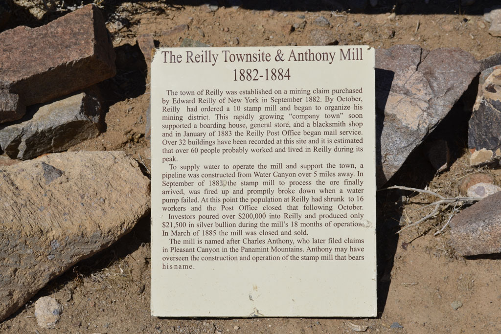
| Reilly |
 |
 |
| |
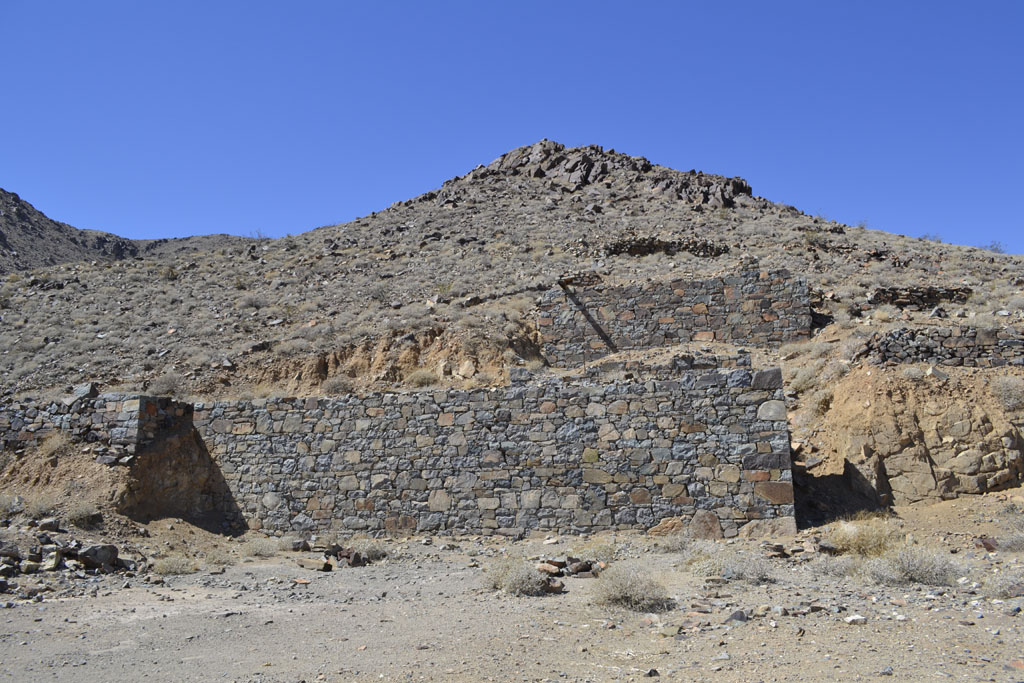
Remains of the old Anthony Mill |
 |
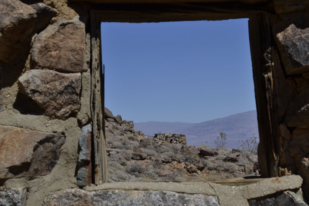 |
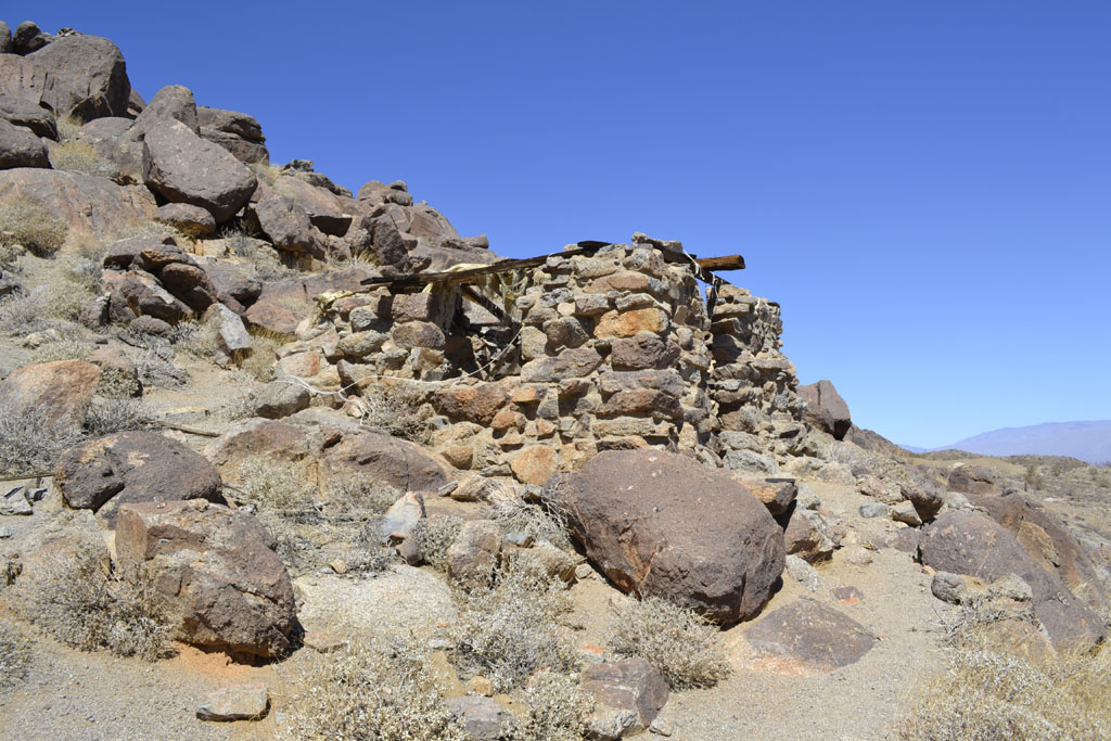
| Reilly rock structures |
| I found the old Reilly Town site for the
first time. Reilly is in the southern section of the
Argus Range on the Panamint Valley side. A little north of Water Canyon,
the lead mine and diatomaceous earth mined deposit. It is off the start of the Old
Nadeau Road from the west end of the new one. |
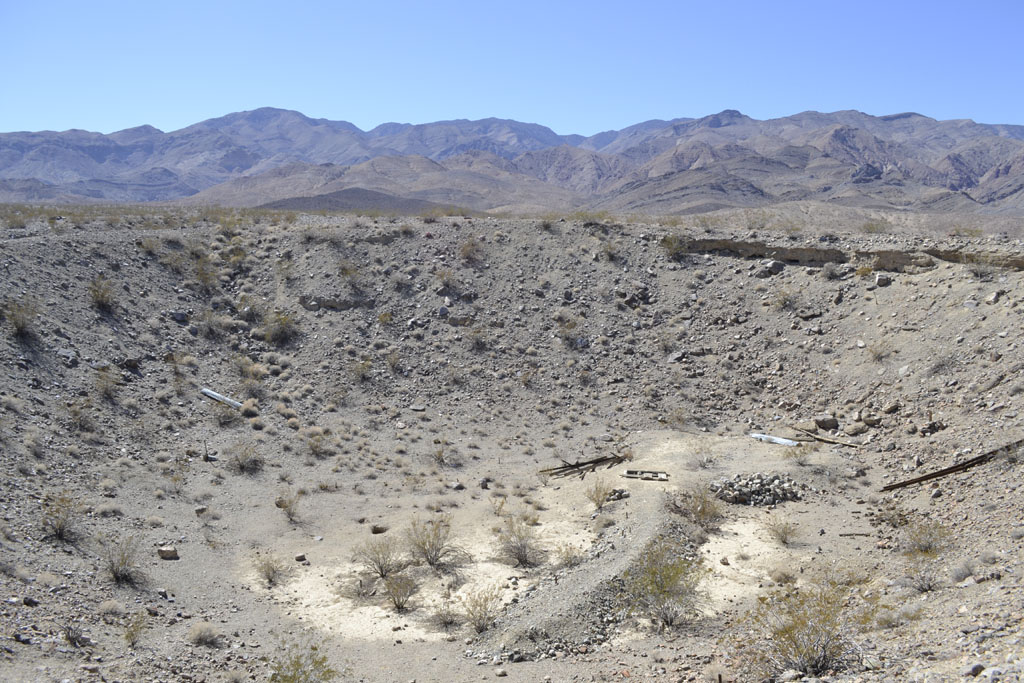
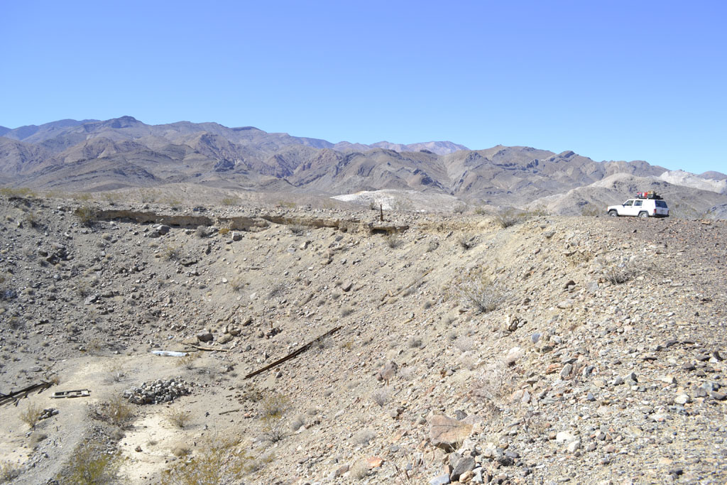
| Panamint Crater |
 |
 |
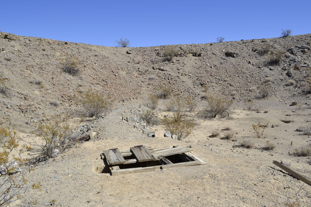 |
I cheated and used
GPS to finally find Panamint Crater. I'd seen it from across they valley
before and had wandered around the area unsuccessfully trying to locate
it. No one knows how
it got there, it doesn't seem to be meteoric or volcanic. There is a mine
shaft at the bottom, maybe they were looking for a meteor. |
| Aguereberry Point |
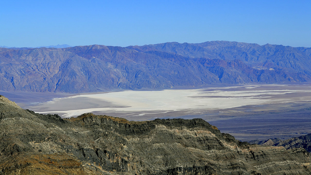 |
| A good view from Aquereberry
point area looking down at Badwater in Death Valley. The lowest
point in North America at 282 below sea level |
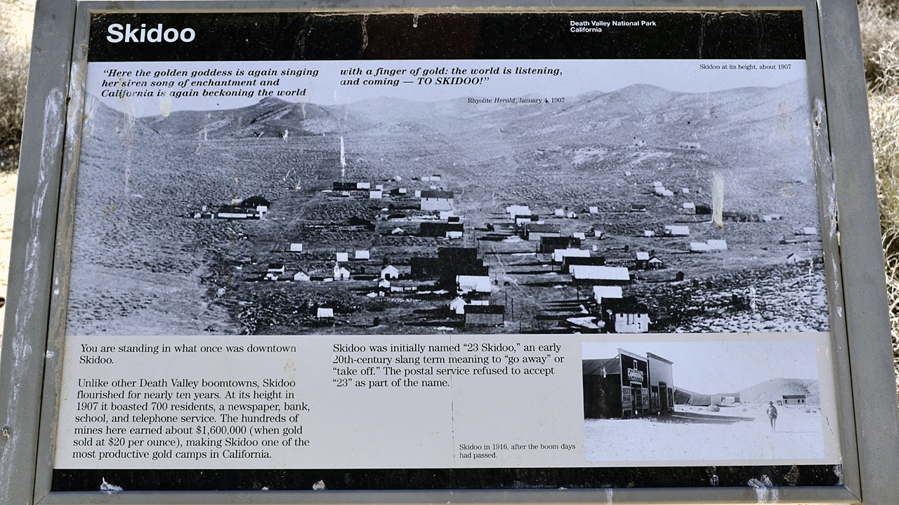
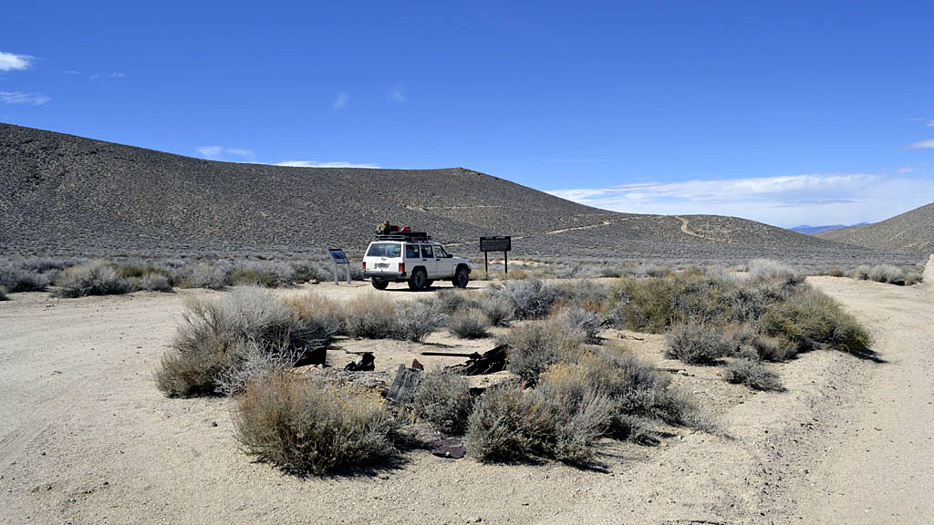
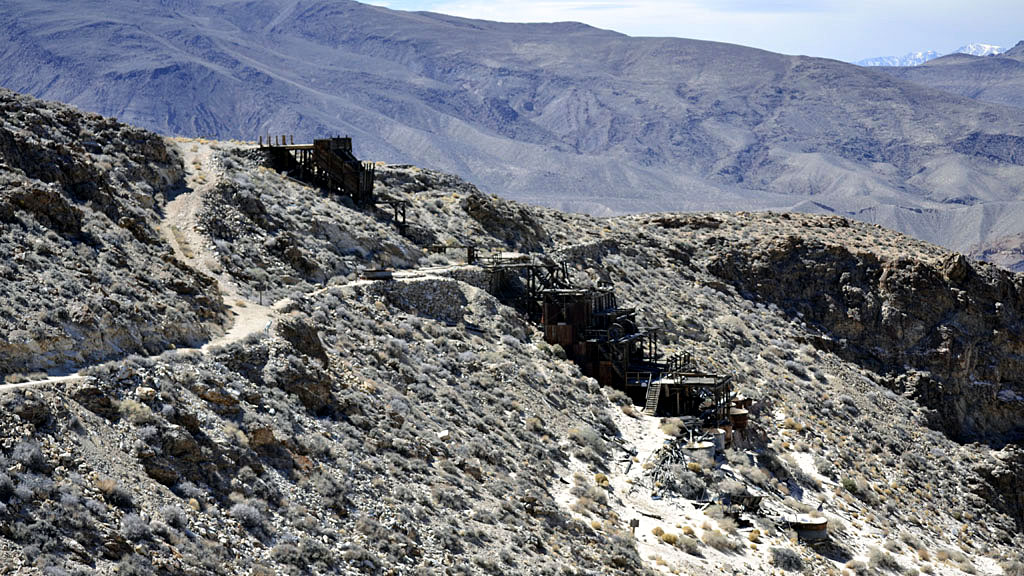
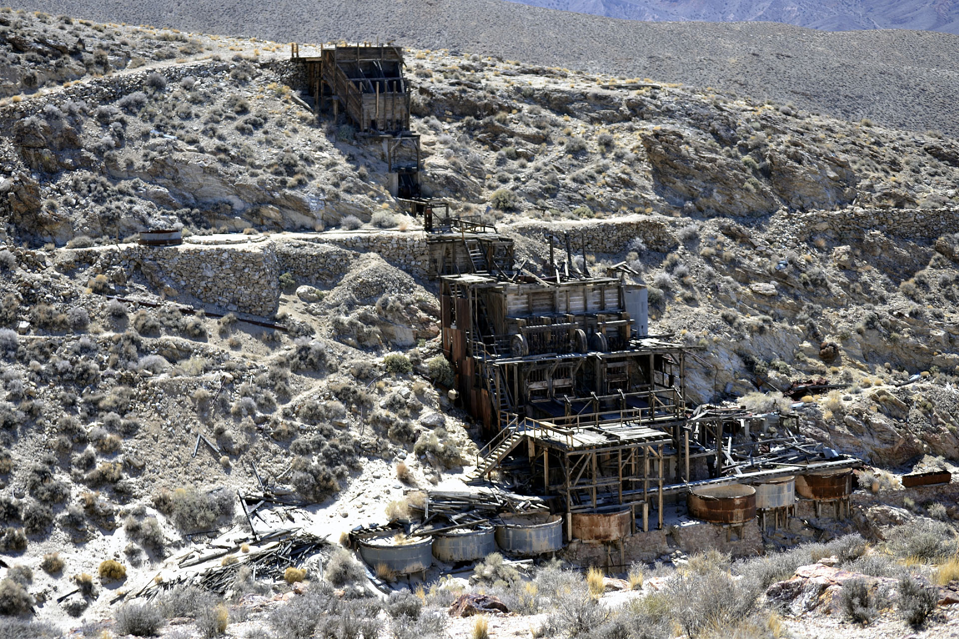
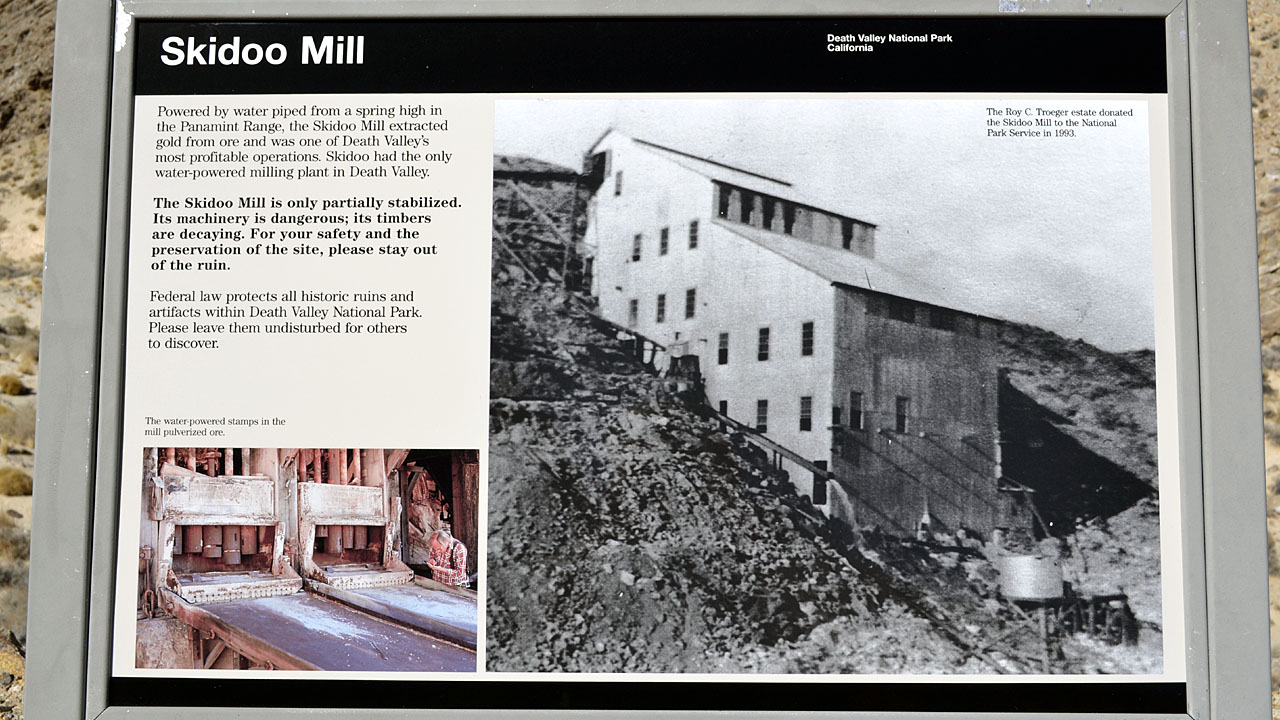
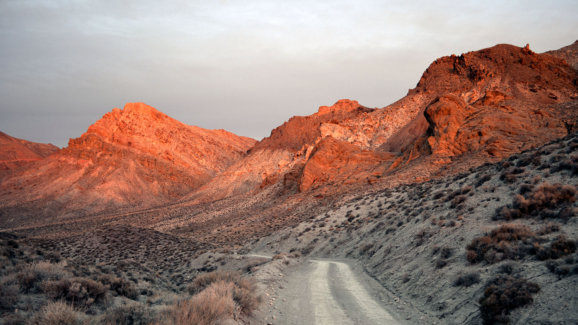
| Skidoo |
 |
 |
 |
| There is virtually nothing left of downtown Skidoo |
The mill ruins are about the only major thing left in the
Skidoo area. |
 |
 |
| |
| Red Pass - Titus Canyon |
 |
| You have to head up over Daylight Pass
towards Beatty to do Titus Canyon. It is a one way road back down over
Red Pass through Leadville site back down to Death Valley. I tried to do
it a couple times before but it was snowed in in the upper reaches. |
 |
 |
| Up around Red Pass above Titus Canyon |
 |
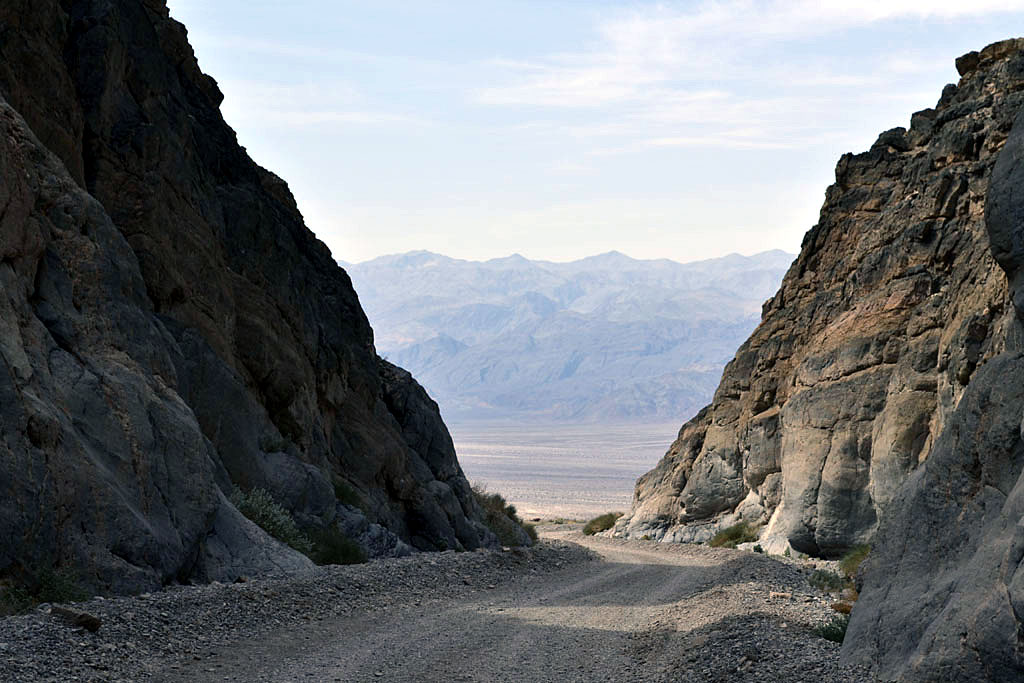 |
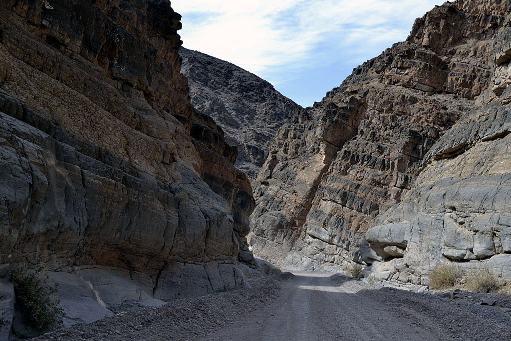
| Mouth of Titus Canyon (One way
down only) |
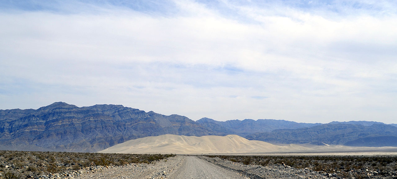
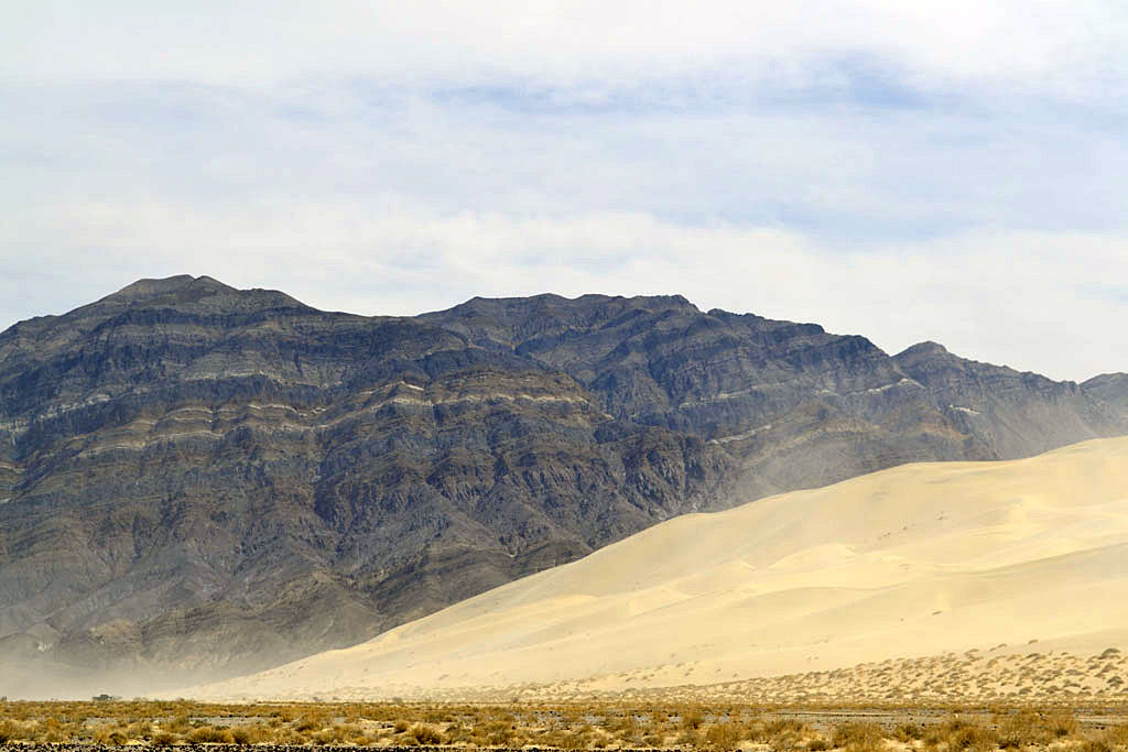
| Eureka Sand Dunes |
 |
 |
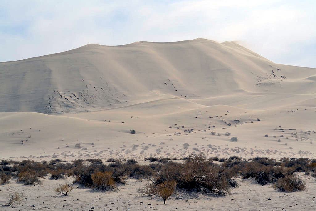 |
| After 10 miles of washboard to the dunes I
decided I didn't want to be sandblasted and went over to the Sierra to
get out of the wind. The Eureka Dunes are the highest in California at
800' or so. Every valley in the area has sand dunes. |
| Birch Creek |
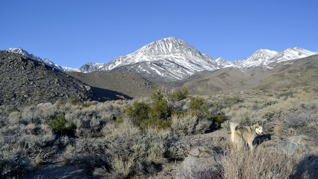 |
| Birch Mountain |
| |
 |
| |