| Back to map
to Map
|
| Mt Langley |
| 14,027'
(4275m) 9th highest in
California 2001 |
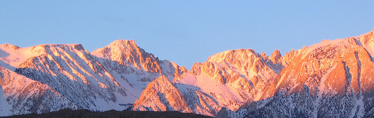 |
| Sunrise on Mt. Langley (distant
left of center) from the Alabama Hills |
| Mount Langley is
the southern most of California's 14,000ers with the tallest, Mt Whitney
being the next about 5 miles to the northwest. |
 |
 |
| Mt. Langley reflected in one of the Cottonwood Lakes |
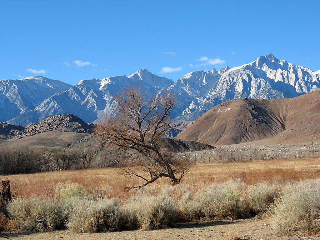
Langley above the tree top (The L-P on the
hillside is for Lone Pine High School) |
| Mount Langley (2001)
Writing this account twelve years after the fact |
| I had been up to the first Cottonwood Lake with Ron Mitchell
the year before. We had hung out a while at the empty Golden Trout Camp on
the way. When Mike and I stopped off briefly at the camp a bear had trashed
the place. The eco fools had put a lot of trash in a big plywood box which
a bear had torn apart and scattered everywhere. I assume since it was
Memorial Day weekend that the camp had been closed since the pervious
season and they were too stupid to pack their garbage out. The first day
we hiked from the parking area. past the camp and past the first few lakes
to Cottonwood Lake # 5 where we made camp. There was a marmot around camp
that evening. Mike slept in a tent and I slept under the stars. The next
day we made our way north then west up a steep pitch to the gentler ridge
approaching the summit block. Near the final summit approach we went to
the east side and then back up to the west to the top. The final pitch was
rough enough that I had to leave my ski pole in order to climb the rocks.
I planned on picking it up on the way down but we came down the south
flank which wasn't so rocky. I beat Mike down off the summit block by
using sitting glissades (sliding on my ass) while he hiked down further to
the west. We worked our way along the gentler ridge until we dropped off
west back
into the Cottonwood Lakes basin and back to camp. Again I chose to sleep
under the stars One the way out the next day we ran into a ranger who
inquired about our permit. We made up a factious third member of our party
who was trailing behind with the permit and skated by. |
 |
 |
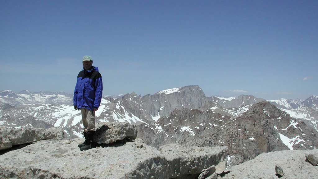
| Me on summit of Langley (2001)
(Mt. Whitney in the middle background) |
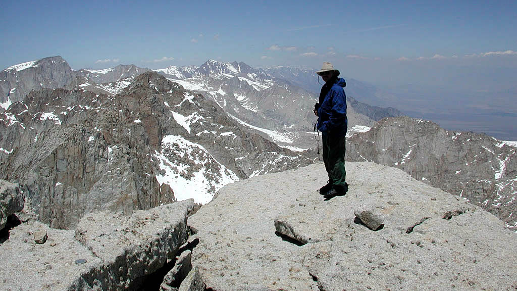
Mike on Langley summit (2001)
( Mt Whitney left background. Mt Williamson middle background) |
 |
 |
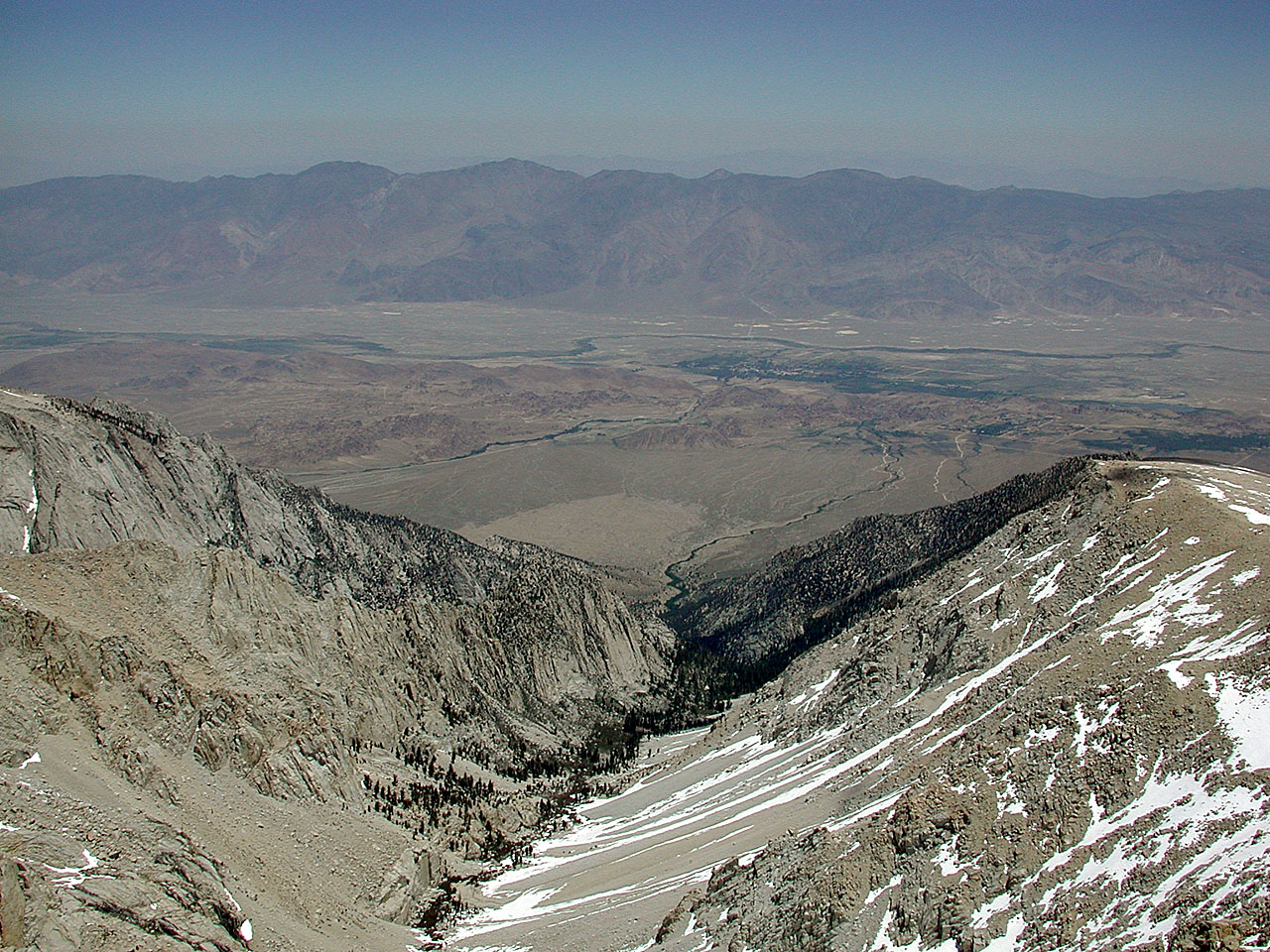
| Summit view back down to Lone Pine |
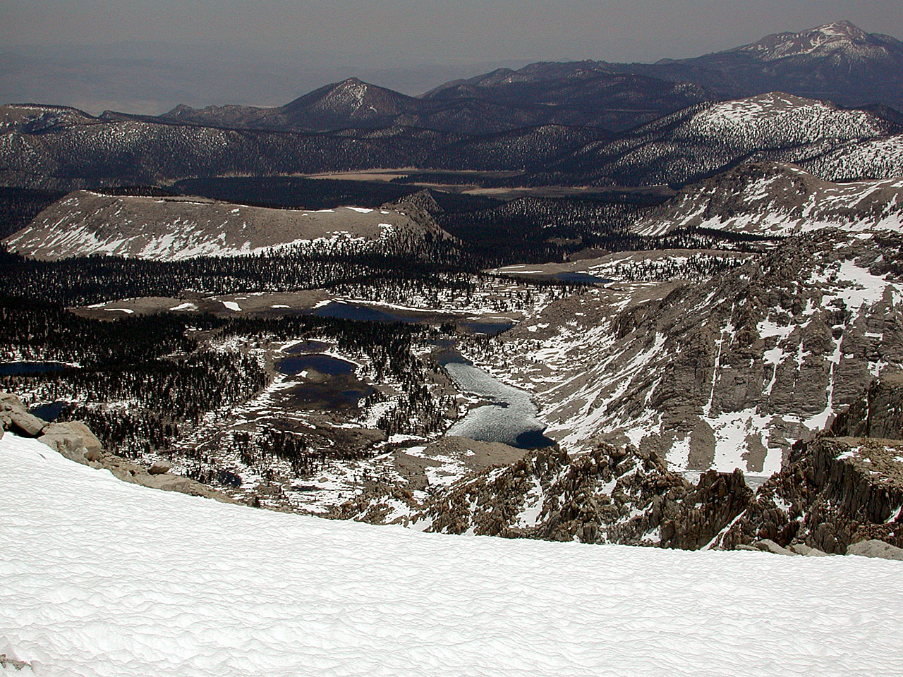
Summit view back down to Cottonwood Lakes
(Olancha Peak distant right) |
| Back to map
to Map |